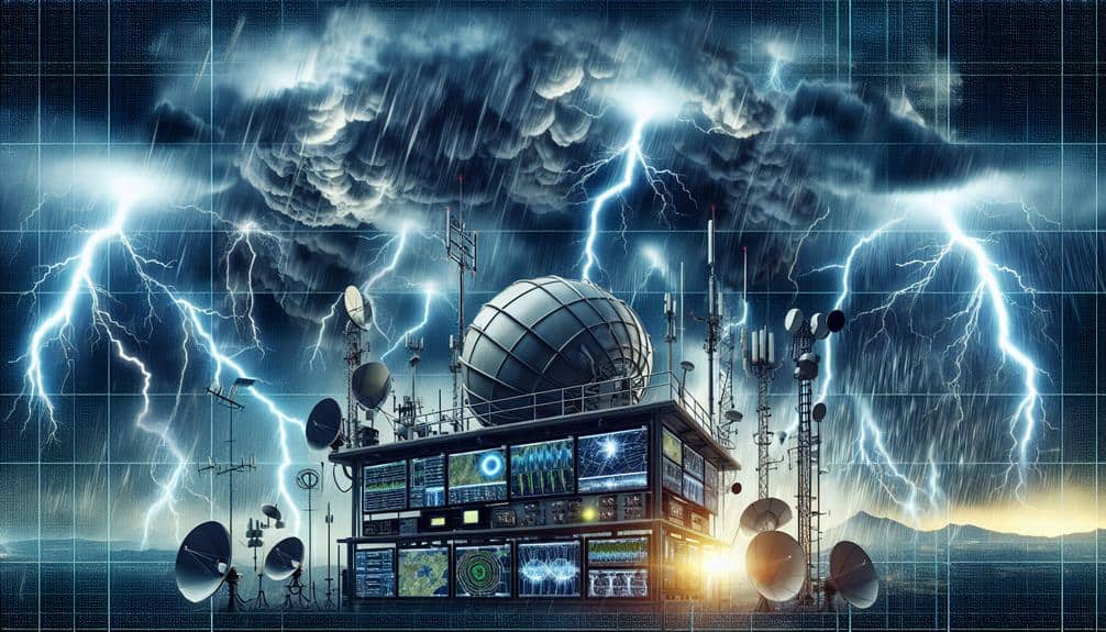
We depend on weather radar systems for detailed precipitation data, leveraging advanced signal processing to interpret echoes. Satellite imagery software offers worldwide, multispectral data, enhancing our storm tracking capabilities. Mobile storm tracking apps use up-to-the-minute data and algorithms to keep us informed, optimizing battery for fieldwork. Automated weather stations with advanced sensors provide continuous ground-level data, essential for accurate predictions and model validation. Finally, lightning detection networks offer precise mapping of storm dynamics through triangulation. These tools collectively enhance our real-time storm monitoring, providing the extensive data needed for accurate analysis and prediction, and there's much more to explore.
Key Points
- Weather Radar Systems: Provide high-resolution, real-time data on precipitation intensity, type, and velocity for accurate storm monitoring.
- Satellite Imagery Software: Offers global, high-definition imagery and multispectral data to track storm formation, movement, and dissipation in real-time.
- Mobile Storm Tracking Apps: Utilize radar and satellite data to deliver up-to-the-minute storm updates and customizable alerts for fieldwork.
- Automated Weather Stations: Offer continuous, precise meteorological data from diverse locations, enhancing storm forecast accuracy and model validation.
Weather Radar Systems
Weather radar systems are pivotal for providing high-resolution, real-time data on precipitation intensity and movement. By employing advanced signal processing techniques, we can accurately interpret the radar echoes, transforming raw data into meaningful insights.
These systems work by emitting pulses of microwave radiation that reflect off precipitation particles. The reflected signals are then captured and analyzed to determine precipitation type, intensity, and velocity.
Signal processing plays a vital role in filtering out noise and enhancing the clarity of the signals. This allows us to achieve precise measurements that are essential for accurate weather forecasting. The integration of data from multiple radar sites ensures inclusive coverage and mitigates the limitations of individual radars, such as range and resolution constraints.
Data integration is another significant component, enabling us to combine radar data with other meteorological inputs like ground stations and atmospheric models. This multi-source approach enhances the reliability and granularity of storm monitoring, giving us the freedom to make informed decisions.
Satellite Imagery Software
Beyond radar systems, utilizing satellite imagery software allows us to gain a thorough perspective of storm development and evolution from a global viewpoint. This technology provides us with high-detail data that's crucial for extensive data visualization and precise image analysis. By integrating multiple satellite feeds, we can track the formation, movement, and dissipation of storms in real-time, offering an unmatched level of detail.
Satellite imagery software offers several advantages:
- Global Coverage: Unlike localized radar systems, satellite imagery provides a bird's-eye view of atmospheric phenomena worldwide. This broad scope ensures that we don't overlook any critical data points.
- High-Definition Imagery: Modern satellites capture images with exceptionally high definition, allowing us to conduct detailed image analysis. This helps in identifying specific storm features such as eye formation in hurricanes or the structure of cloud bands.
- Multispectral Data: Satellites often capture images in multiple spectral bands, including visible, infrared, and microwave. This varied data provides insights into various atmospheric parameters like temperature, moisture content, and wind speeds.
Mobile Storm Tracking Apps
Frequently, mobile storm tracking apps leverage real-time data and advanced algorithms to provide users with up-to-the-minute updates on storm conditions. By integrating radar imagery, satellite data, and user reports, these apps guarantee data accuracy, which is essential for researchers requiring precise and reliable information. The user interface of these apps is often designed to be intuitive, allowing us to quickly interpret complex data through graphical representations and customizable alerts.
Battery usage is a significant consideration for us when using mobile storm tracking apps in the field. Many apps optimize battery consumption by allowing users to adjust update intervals and select specific data streams to monitor. This customization option guarantees that critical updates are received without draining the device's power excessively, enabling prolonged usage during extended fieldwork.
Moreover, the ability to customize notification settings enhances the usability of these apps. We can tailor alerts based on geographic location, storm severity, or specific weather phenomena, making sure that we're only notified of pertinent information. This level of customization not only conserves device resources but also allows us to focus on the most relevant data, thereby enhancing our research efficiency and decision-making processes.
Automated Weather Stations
While mobile storm tracking apps provide vital real-time updates, automated weather stations offer continuous, on-the-ground data collection that enhances our ability to monitor storm conditions with high precision. These stations are pivotal for researchers who need granular data accuracy and real-time monitoring capabilities to analyze and predict storm behavior effectively.
Automated weather stations (AWS) are equipped with advanced sensors that measure various meteorological parameters such as temperature, humidity, wind speed, and atmospheric pressure. By providing constant streams of data, AWS allow us to capture minute-by-minute changes in storm conditions. The high-frequency data collection is essential for creating accurate predictive models and for validating satellite observations.
Here are three key benefits of using automated weather stations for storm monitoring:
- Enhanced Data Accuracy: AWS provide highly precise measurements, reducing the uncertainty in our data sets and improving the reliability of storm forecasts.
- Real-Time Monitoring: Continuous data feeds enable us to track storm developments as they happen, essential for timely decision-making and public safety.
- Comprehensive Coverage: AWS can be deployed in remote and diverse locations, ensuring a wide geographic spread of data collection points.
Lightning Detection Networks
Lightning detection networks are vital tools that allow us to monitor and analyze storm activity with a high degree of accuracy and speed. These networks employ arrays of ground-based sensors that detect electromagnetic signals produced by lightning strikes. By triangulating the location of these signals, we can generate precise lightning mapping, enhancing our storm prediction capabilities.
When it comes to thunderstorm monitoring, lightning detection networks provide real-time data essential for understanding storm dynamics. The data gathered includes the frequency, intensity, and location of lightning strikes, which are important parameters for thorough data analysis. This level of detail allows us to identify storm patterns and potentially severe weather conditions earlier, giving us the freedom to act proactively.
From a technical perspective, modern lightning detection networks offer spatial resolutions down to a few hundred meters and temporal resolutions of milliseconds. This allows us to capture the rapid evolution of thunderstorms with unparalleled clarity. Moreover, integrating lightning data with meteorological models greatly improves the accuracy of storm prediction systems.
Frequently Asked Questions
How Can Researchers Integrate Storm Data From Multiple Sources?
To integrate storm data from multiple sources, we utilize advanced data integration platforms, ensuring seamless real-time analysis. These platforms enable us to aggregate, process, and analyze diverse datasets, providing actionable insights and maintaining our research independence.
Are There Open-Source Tools Available for Storm Monitoring?
Yes, there are open-source solutions available for storm monitoring. These tools offer real-time data integration, enabling us to analyze and visualize storm patterns effectively. They provide the freedom to customize and enhance our research capabilities.
What Are the Cost Considerations for Advanced Storm Monitoring Tools?
Why should we consider cost considerations? With technology advancements, initial investments can be high, but operational efficiency and improved data accuracy make it worth it. Balancing cost and benefits guarantees we get the best value.
How Do Storm Monitoring Tools Handle Data Privacy and Security?
We prioritize data privacy and security by implementing data encryption and secure access restrictions. Our tools guarantee that only authorized users can access sensitive information, providing researchers the freedom to work without compromising data integrity.
What Training Resources Are Available for Using Storm Monitoring Technologies?
Exploring the sea of storm monitoring technologies, we find robust training programs and all-encompassing online courses. These resources equip us with the analytical prowess to harness real-time data, ensuring our methodologies remain both accurate and innovative.