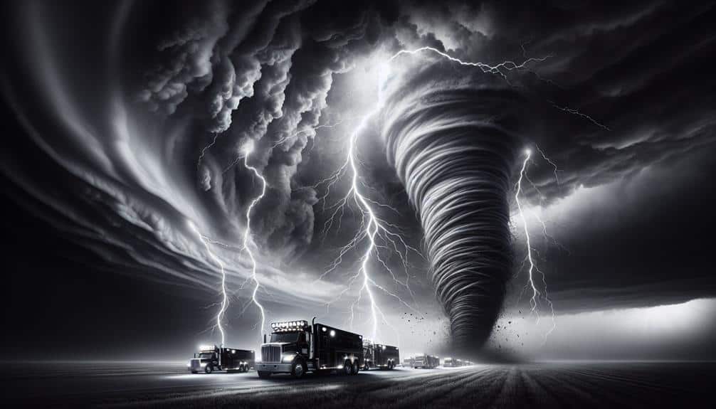
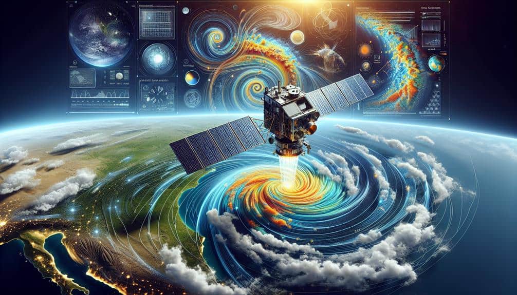
We rely on satellites for real-time storm monitoring because they've revolutionized our ability to predict and track severe weather accurately. Utilizing optical, infrared, and microwave sensing, satellites provide continuous, high-resolution data on storm formation and trajectory. They enhance forecasting precision through advanced algorithms and machine learning, enabling timely disaster response and emergency preparedness. Geostationary and polar-orbiting satellites offer both broad and localized perspectives, ensuring all-encompassing coverage. This technology allows us to monitor, analyze, and predict storms effectively, ultimately mitigating their impact. Explore more to understand the full extent of these capabilities and their importance.
Key Points
- Satellites provide continuous high-resolution imagery and data for real-time storm monitoring.
- They utilize remote sensing to capture detailed atmospheric and environmental information.
- Geostationary and polar-orbiting satellites offer broad and localized perspectives on storm systems.
- Advanced algorithms and machine learning enhance the precision of storm trajectory and intensity predictions.
Satellite Technology
Satellite technology has revolutionized our ability to monitor and predict storms in real-time with unprecedented accuracy. By leveraging remote sensing, we can capture detailed data on atmospheric conditions, such as temperature, humidity, and wind patterns. This information is essential for weather forecasting, enabling us to anticipate storm development and trajectory with remarkable precision.
Advanced satellites equipped with high-resolution sensors provide continuous, global coverage, allowing us to detect storm systems early and monitor their evolution. Utilizing geostationary and polar-orbiting satellites, we gain both broad and localized perspectives. Geostationary satellites remain fixed relative to a specific location, offering constant observation, while polar-orbiting satellites traverse the Earth, capturing detailed snapshots of different regions.
Moreover, remote sensing technologies such as multispectral and hyperspectral imaging enhance our ability to analyze storm characteristics. These technologies allow us to identify and monitor key indicators, like cloud formation and precipitation rates, which are essential for accurate weather forecasting. Enhanced computational models, driven by satellite data, further refine our predictions, empowering us to issue timely warnings and mitigate storm-related risks.
In essence, satellite technology and remote sensing have become indispensable tools in modern weather forecasting, providing the freedom to make informed decisions and safeguard lives and property.
Data Collection
To harness the full potential of satellite technology for storm monitoring, we meticulously gather and analyze a vast array of atmospheric data. Our approach leverages remote sensing techniques, enabling us to capture vital environmental information from space. These satellites provide unprecedented insights into storm formation, development, and trajectory. This data is essential for effective disaster response and climate research, empowering us with the tools to predict and mitigate the impacts of severe weather events.
We rely on three primary methods to collect this invaluable data:
- Optical and Infrared Imaging: These sensors capture high-resolution images of cloud patterns, sea surface temperatures, and land surface conditions. This visual data helps us identify storm systems and track their movement in real time.
- Microwave Radiometry: This technology measures atmospheric moisture and temperature profiles. By analyzing these variables, we can assess the intensity and potential impact of storms, which is crucial for timely disaster response.
- Scatterometry: These instruments measure wind speeds and directions over the ocean. Understanding wind patterns aids in predicting storm paths and intensities, enhancing our ability to forecast and prepare for extreme weather.
Accuracy Improvements
Enhancing the accuracy of storm monitoring involves integrating advanced algorithms and machine learning techniques to refine data interpretation and prediction models. By leveraging these sophisticated tools, we can achieve improved forecasting and greater precision in anticipating storm patterns and behaviors. Our reliance on satellites becomes indispensable as they provide continuous, high-resolution data, which is crucial for feeding these algorithms.
We've seen substantial strides in enhanced monitoring capabilities through the use of machine learning. These systems analyze vast datasets from multiple satellite sources in real-time, identifying patterns that traditional methods might miss. The result is a significant increase in the reliability of our storm tracking and predictions.
Moreover, the integration of advanced algorithms allows us to minimize errors in data interpretation, leading to more precise storm models. This precision isn't just a technical achievement but an essential component in safeguarding lives and property.
Early Warnings
Early warnings play a pivotal role in mitigating the impact of severe storms by providing timely alerts to communities at risk. By leveraging satellite technology, we can enhance our emergency response and disaster preparedness efforts. Satellites offer a unique vantage point, allowing us to detect and monitor storm developments in real time, which is vital for issuing early warnings.
When we receive accurate and timely data, we can act swiftly to protect lives and property. Early warnings help us in several ways:
- Evacuation Planning: With sufficient notice, communities can organize and execute evacuation plans, ensuring that people move out of harm's way before a storm hits.
- Resource Allocation: Authorities can allocate resources like medical supplies, food, and water to areas likely to be affected, ensuring that emergency response teams are well-prepared.
- Public Awareness: Informing the public about impending storms raises awareness and prompts individuals to take necessary precautions, enhancing overall disaster preparedness.
Tracking and Analysis
By harnessing the power of satellite data, we can meticulously track storm systems and analyze their progression in real time. Using remote sensing technology, satellites provide continuous, high-resolution imagery and data on weather patterns. This allows us to observe storms as they develop, move, and evolve, offering a detailed view that ground-based systems simply can't match.
Through advanced algorithms and models, we process satellite data to identify critical parameters like wind speed, precipitation rates, and cloud structure. This enables us to predict a storm's trajectory and intensity with greater accuracy. By analyzing trends in these parameters, we can foresee potential shifts in weather patterns that could influence storm behavior.
Moreover, the global coverage of satellites means we're not constrained by geographic limitations. We can monitor storms over oceans, remote areas, and regions with limited ground-based infrastructure. This universal reach empowers us with the freedom to respond proactively to emerging threats, no matter where they occur.
In essence, the integration of satellite data into our storm tracking and analysis efforts enhances our ability to make informed decisions, ultimately safeguarding lives and property.
Frequently Asked Questions
How Do Satellites Communicate Their Findings to Ground-Based Weather Stations?
How do satellites share their discoveries with us on the ground? They utilize data transmission to send information directly to ground stations, ensuring we get accurate, real-time weather updates essential for our safety and freedom.
What Are the Cost Implications of Deploying and Maintaining Weather Satellites?
The cost implications and maintenance challenges of deploying weather satellites are significant. We must consider launch expenses, technological upgrades, and regular servicing. However, these investments guarantee accurate data, supporting our freedom to make informed decisions during storms.
Can Satellite Data Be Used for Educational Purposes or Public Awareness Campaigns?
Absolutely, satellite data is a goldmine for public education and awareness campaigns. We can revolutionize educational purposes by leveraging this data, ensuring communities gain unprecedented freedom through enhanced understanding of weather patterns and disaster preparedness.
What Challenges Do Satellites Face in Extreme Weather Conditions?
We face significant challenges in extreme weather due to satellite durability issues and signal interference. Satellite components must withstand harsh conditions, while atmospheric disturbances can disrupt signal transmission, affecting data accuracy and real-time communication.
How Do International Collaborations Enhance the Efficiency of Weather Satellites?
Imagine a global orchestra where satellites are instruments; international collaborations, through data sharing and agreements, harmonize technology advancements, boosting data accuracy. Our collective effort guarantees we face fewer surprises from Mother Nature's capricious symphony.