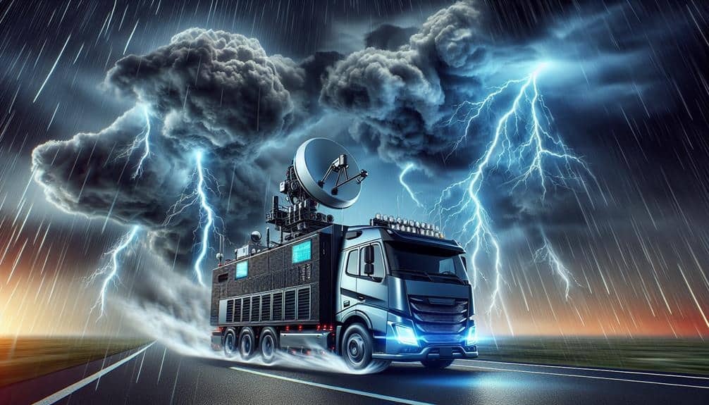
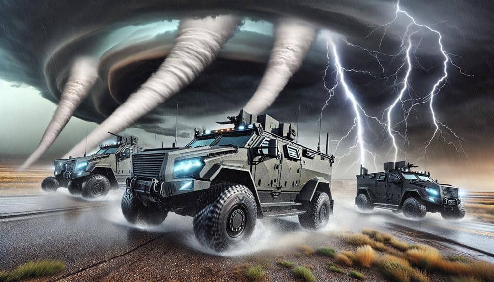
We utilize several vital real-time tornado warning systems to enhance our storm chasing efforts. Doppler radar systems measure precipitation particle velocity, essential for detecting storm rotation patterns. Mobile weather apps provide hyper-local alerts using advanced algorithms and meteorological datasets. Storm Prediction Centers employ numerical models and cutting-edge technology to issue precise forecasts. Weather radio alerts from the NOAA network offer 24/7 emergency activation, ensuring continuous information flow. Satellite-based monitoring delivers real-time atmospheric data over extensive areas, improving tornado detection accuracy. These systems collectively optimize our predictive capabilities and situational awareness, which means more detailed insights await.
Key Points
- Doppler Radar Systems: Measure precipitation velocity and provide real-time tornado detection and tracking for storm chasers.
- Mobile Weather Apps: Offer hyper-local, data-driven alerts and integrate with radar overlays for precise storm tracking.
- Storm Prediction Centers: Utilize advanced technology and data to forecast tornadoes, issuing critical watches and warnings.
- Weather Radio Alerts: Provide immediate, reliable real-time warnings through the NOAA network, activating automatically with alert tones.
Doppler Radar Systems
Doppler radar systems, leveraging the Doppler effect, allow us to measure the velocity of precipitation particles within severe storms, providing essential data for real-time tornado detection and tracking. By analyzing the frequency shifts of radar signals bounced off precipitation, we can determine whether particles are moving toward or away from the radar. This radar technology is important for storm tracking, especially in identifying rotational patterns indicative of tornado formation.
Incorporating Doppler radar into our emergency response protocols greatly enhances weather safety. It allows meteorologists to issue timely warnings, giving communities valuable minutes to seek shelter. The high-resolution data from these radars enable us to pinpoint the exact location and movement of tornadoes, minimizing false alarms and ensuring that warnings are both accurate and actionable.
Furthermore, Doppler radar systems aren't just about spotting tornadoes; they also help in evaluating storm intensity and potential damage. Advanced algorithms analyze radar data to estimate wind speeds and precipitation rates, providing a detailed view of the storm's behavior. This information is crucial for emergency responders who need to allocate resources effectively and for residents who need to make informed decisions about their safety. Our reliance on this radar technology highlights its essential role in modern weather safety strategies.
Mobile Weather Apps
Mobile weather applications alter how we receive real-time tornado warnings by providing accurate, data-driven alerts directly to our devices. Utilizing advanced algorithms and extensive meteorological datasets, these applications offer unmatched storm tracking capabilities. We can now monitor storm cells with pinpoint accuracy, giving us essential lead time to avoid severe weather.
The accuracy of emergency notifications has improved significantly. Employing geolocation technology, mobile weather applications send hyper-local alerts based on our precise location. Instead of generic county-wide warnings, we receive specific, actionable information tailored to our immediate surroundings. This precision is vital for storm chasers who require dependable data to make quick decisions.
Furthermore, many of these applications seamlessly integrate with other tools, such as radar overlays and satellite imagery, to provide thorough situational awareness. We can observe storm paths, wind velocities, and other crucial parameters in real-time. This level of detail empowers us to act promptly and confidently.
Essentially, mobile weather applications harness state-of-the-art technology to offer unparalleled control and freedom. By providing accurate storm tracking and timely emergency notifications, they guarantee that we're always one step ahead of nature's most intense phenomena.
Storm Prediction Centers
Storm Prediction Centers play an essential role in forecasting severe weather events by utilizing cutting-edge technology and extensive meteorological data to provide timely and accurate warnings. These centers harness advanced numerical weather prediction models, Doppler radar data, and satellite imagery to enhance forecast accuracy.
By integrating this wealth of information, we can predict tornadoes with greater precision and lead times, which is vital for storm chasers who thrive on the freedom to pursue these natural phenomena.
Our reliance on Storm Prediction Centers extends to their pivotal role in emergency response. When a tornado threat is identified, these centers issue watches and warnings that are crucial for public safety and can be lifesaving for those in the storm's path. The data-driven approach ensures that emergency responders and local authorities receive the information they need to act swiftly and decisively.
Weather Radio Alerts
In addition to the essential forecasts from Storm Prediction Centers, weather radio alerts serve as an immediate and reliable source of information, providing real-time warnings directly to the public. These alerts are broadcasted through the NOAA Weather Radio All Hazards network, a nationwide system that transmits continuous weather information from the nearest National Weather Service office. This infrastructure guarantees we receive emergency notifications promptly, especially during severe weather events like tornadoes.
Weather radios are designed to operate 24/7, automatically activating when a specific alert tone is received. This mechanism ensures that we're alerted regardless of the time of day, providing an important layer of protection. Unlike traditional siren systems, which may not be audible indoors or during power outages, weather radios offer a more reliable and direct form of communication.
Moreover, the specificity of weather radio alerts enhances our ability to make informed decisions in real-time. These alerts include detailed information on the nature and location of the severe weather threat, allowing us to take immediate, targeted action. By utilizing weather radios, we can maintain a high level of situational awareness, which is vital for effective storm chasing and personal safety.
Satellite-Based Monitoring

Frequently, satellite-based monitoring provides critical data that enhances our ability to predict and track tornadoes with unparalleled accuracy. Utilizing advanced remote sensing technology, we can capture real-time satellite imagery analysis essential for storm tracking. This technology allows us to observe atmospheric conditions over a wide geographic area, offering a comprehensive view that ground-based systems alone can't achieve.
By incorporating high-resolution satellite data, we improve our tornado detection capabilities significantly. The data gathered from these satellites enable us to identify key indicators of tornado formation, such as supercell structures and atmospheric instability. This information is then processed through sophisticated algorithms to generate precise and timely warnings.
In our quest for freedom and safety, we rely on the seamless integration of satellite imagery analysis with other meteorological data sources. This multi-faceted approach enhances our situational awareness, allowing us to make informed decisions quickly. The accuracy and speed provided by satellite-based monitoring are invaluable for storm chasers, enabling us to position ourselves strategically and respond to rapidly changing weather conditions.
Satellite-based monitoring isn't just about viewing from above; it's about leveraging cutting-edge technology to stay ahead of nature's most unpredictable phenomena.
Frequently Asked Questions
What Safety Gear Should Storm Chasers Always Carry With Them?
We're discussing what safety gear storm chasers should always carry. Essential items include emergency supplies like first aid kits, water, and non-perishable food, as well as communication devices, such as satellite phones and two-way radios, for reliable contact.
How Can Storm Chasers Collaborate With Local Emergency Services?
We can enhance community partnerships and improve communication by engaging with local emergency services. Volunteer opportunities and training opportunities will empower us, enabling efficient data-sharing and collaborative action during tornado events, ensuring public safety and informed decision-making.
What Are the Legal Restrictions for Storm Chasing in Different States?
We need to understand state regulations and chasing boundaries, which vary considerably. Some states have specific permits and safety protocols, while others impose minimal restrictions. Let's make sure we're compliant to maximize our freedom in storm chasing.
How Do Storm Chasers Fund Their Expeditions?
Fascinatingly, 60% of storm chasers rely on diverse funding sources. We utilize sponsorship opportunities, budgeting strategies, and crowdfunding campaigns to cover expenses, ensuring we can chase storms freely and effectively with robust financial backing.
What Training or Certifications Are Recommended for Aspiring Storm Chasers?
For aspiring storm chasers, we recommend weather courses and safety training. Learning emergency procedures is critical, and obtaining insurance coverage guarantees protection. These steps enhance our skills, guaranteeing we chase storms with confidence and precision.