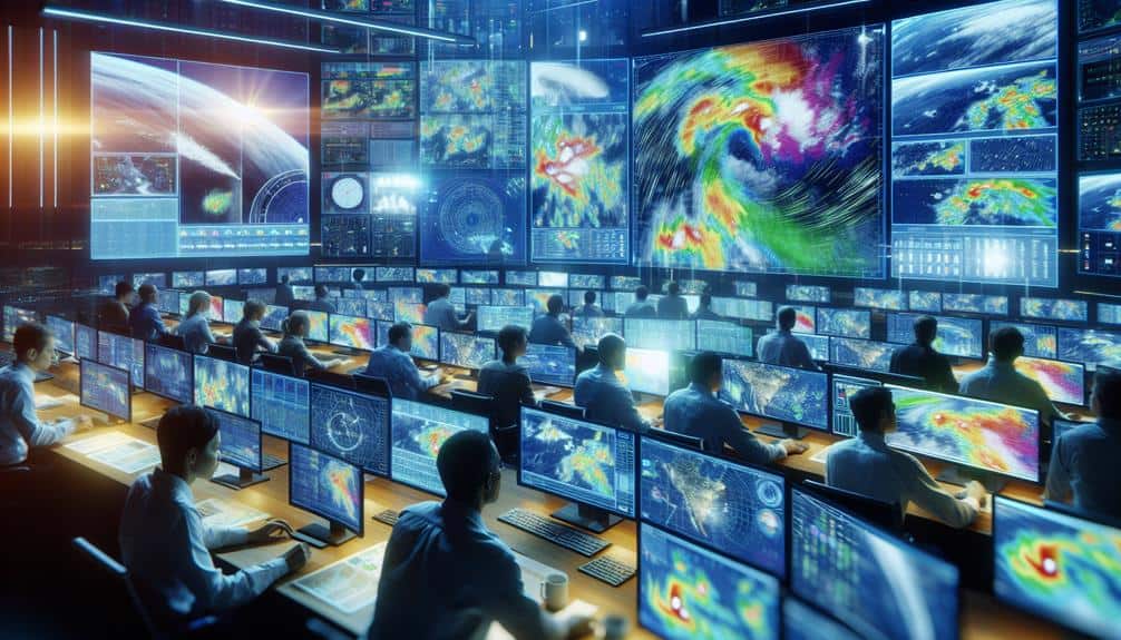
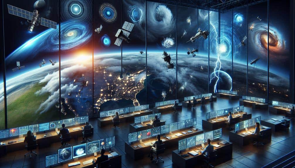
We employ advanced remote sensing technologies to predict storm formations effectively. Satellite imagery offers high-definition data monitoring cloud patterns, temperature shifts, and moisture levels. Doppler radar provides real-time data on storm velocity and precipitation. Weather balloons gather atmospheric data like temperature, humidity, and pressure with onboard sensors. Lidar measures wind speed and examines cloud structures with precision. Aircraft reconnaissance delivers detailed storm observations, while ground-based sensors provide localized data. Additionally, remote automated weather stations offer continuous updates from inaccessible locations. For a deeper understanding of how each technology optimizes weather forecasting, there's more to explore.
Key Points
- Satellite Imagery: Monitors cloud patterns, temperature changes, and moisture levels for accurate storm prediction.
- Doppler Radar Systems: Provides real-time data on storm velocity and precipitation for precise storm movement and intensity estimation.
- Weather Balloons: Collect atmospheric data like temperature, humidity, pressure, and wind speed for dynamic forecast updates.
- Lidar Technology: Measures wind speeds and cloud structures with high resolution, enhancing storm prediction accuracy.
Satellite Imagery
Satellite images provide us with high-definition, up-to-date data that's vital for predicting storm formations accurately. These images, captured by geostationary satellites, offer unmatched image resolution, enabling us to observe atmospheric conditions with remarkable clarity. The precision of this data is essential for detecting early signs of storm development.
We rely on advanced data processing techniques to analyze satellite images efficiently. By applying sophisticated algorithms, we convert raw data into actionable insights. This process allows us to monitor cloud patterns, temperature changes, and moisture levels that are indicative of storm formation. The high-definition images enhance our ability to detect precipitation, a critical factor in storm tracking.
In addition to precipitation detection, satellite images aid in monitoring wind patterns and sea surface temperatures. These variables contribute to our understanding of storm dynamics, providing a thorough picture of potential weather disturbances. By tracking these elements in real-time, we can predict the path and intensity of storms with greater accuracy.
Our use of satellite images empowers us to make informed decisions, ensuring timely warnings and preparations. This technology not only enhances our predictive capabilities but also supports the freedom to plan and respond proactively, mitigating risks associated with severe weather events.
Doppler Radar Systems
Doppler radar systems provide crucial real-time data on storm velocity and precipitation, enhancing our ability to predict and track severe weather events. By emitting microwave signals and analyzing the returned echoes, we can accurately measure the speed and direction of storm movement. This technology is essential for storm tracking, as it allows us to monitor the development and progression of weather systems with remarkable precision.
In addition to storm tracking, Doppler radar excels in precipitation analysis. It differentiates between various types of precipitation, such as rain, snow, and hail, which helps us to understand the potential impact on affected areas. This capability is crucial for issuing timely warnings and preparing communities for severe weather.
Doppler radar systems also play a key role in weather pattern detection. By examining wind patterns and detecting rotational movements, we can identify the formation of tornadoes and other severe weather phenomena early.
Moreover, Doppler radar provides accurate storm intensity estimation, enabling meteorologists to assess the severity of storms and their potential to cause damage.
Weather Balloons
Let's explore the role of weather balloons in storm prediction.
These high-altitude instruments collect essential atmospheric data, including temperature, humidity, and wind speed, using onboard sensors.
Data Collection Methods
Weather balloons, necessary in atmospheric data collection, provide vital measurements that enhance our understanding of storm formations. By capturing data on temperature, humidity, pressure, and wind speed at various altitudes, weather balloons offer invaluable inputs for remote sensing applications. This data is then integrated using advanced data fusion techniques, improving our storm prediction accuracy significantly.
In our analysis, we leverage machine learning algorithms to process the vast amounts of data collected by weather balloons. These algorithms allow us to identify patterns and correlations that might otherwise go unnoticed. By combining data from multiple sources, such as satellites and radars, we can create more inclusive models of atmospheric conditions. This integration is essential for enhancing the precision of our storm predictions, giving us the freedom to prepare more effectively for severe weather events.
Moreover, the real-time data collected from weather balloons feeds directly into predictive models, enabling us to update our forecasts dynamically. This continuous data stream is indispensable for refining our understanding of storm dynamics and improving our ability to predict storm formations.
Thus, weather balloons are a cornerstone of modern meteorology, driving advancements in storm prediction accuracy through sophisticated data collection methods.
Instrumentation on Board
To maximize the full potential of weather balloons in storm prediction, we equip them with a suite of sophisticated instruments designed to measure atmospheric variables with high precision. Our instrumentation includes barometers, hygrometers, and anemometers, all thoroughly tested for sensor calibration to guarantee accuracy. During instrumentation deployment, we meticulously verify each sensor's functionality to avoid data discrepancies.
Once launched, these weather balloons ascend through the atmosphere, collecting critical data points. The instruments on board relay information back to our ground stations via data transmission systems. This capability for real-time monitoring allows us to track storm formations as they develop, providing invaluable insight into atmospheric conditions.
Our weather balloons operate within a coordinated network, enabling us to gather extensive data over vast geographical areas. This data is then synthesized, offering a robust framework for predictive modeling. By leveraging advanced technology and precise sensor calibration, we maximize the usefulness of each deployment. This approach not only enhances our understanding of storm dynamics but also empowers us to make informed decisions, ultimately promoting safety and resilience in the face of severe weather.
Atmospheric Measurements Accuracy
Ensuring the precision of atmospheric measurements from weather balloons is essential for dependable storm prediction and effective data modeling. High-fidelity data from these instruments feed directly into meteorological models, enhancing their predictive capabilities. By improving spatial resolution and accounting for temporal variability, we can refine our understanding of storm dynamics.
Weather balloons, equipped with radiosondes, measure essential parameters such as temperature, humidity, and pressure at various altitudes. This data is crucial for data assimilation processes, where it integrates with other remote sensing inputs to fine-tune the model outputs. Accurate readings guarantee that the meteorological models can predict storm formations with greater precision, offering more accurate and timely warnings.
Moreover, the spatial resolution provided by weather balloons allows us to capture fine-scale atmospheric structures that might be missed by satellite observations alone. This granularity is vital for identifying the initial stages of storm formation, where small-scale variations can lead to significant weather events.
The temporal variability captured through frequent balloon launches further contributes to a dynamic and responsive modeling environment, adapting to rapidly changing atmospheric conditions.
In essence, precise atmospheric measurements from weather balloons empower us to harness the full potential of meteorological models, enabling a proactive approach to storm prediction and safeguarding our freedom from unexpected weather disruptions.
Lidar Technology
Let's explore how Lidar technology enhances our storm prediction capabilities by providing precise atmospheric data.
This technology enables us to measure wind speeds and analyze cloud structures with unparalleled accuracy.
Atmospheric Data Collection
Harnessing Lidar technology, we can now gather high-resolution atmospheric data that enhances our ability to forecast storm formations with unparalleled accuracy. Lidar, or Light Detection and Ranging, utilizes laser pulses to measure distances within the atmosphere, providing detailed profiles of cloud composition, aerosol concentrations, and humidity levels. This granular data is crucial for understanding storm dynamics.
By integrating Lidar data with other remote sensing advancements, we employ data fusion techniques to create thorough atmospheric models. These models are further refined by machine learning applications, which can identify patterns and predict storm behavior based on historical data. As a result, our predictive models become more precise and reliable, empowering us to anticipate severe weather events with greater accuracy.
The continuous evolution of future technologies in remote sensing, such as advanced Lidar systems capable of higher spatial and temporal resolution, will further enhance our atmospheric data collection capabilities. By staying at the forefront of these developments, we ensure that our storm prediction systems remain cutting-edge, offering individuals and communities the freedom to prepare and respond effectively to imminent storms.
Our dedication to harnessing Lidar technology underscores our commitment to innovative, data-driven solutions in atmospheric science.
Wind Speed Measurement
By utilizing Lidar technology, we can measure wind speed with high precision, offering real-time data that's crucial for accurate storm forecasts. Lidar (Light Detection and Ranging) utilizes laser pulses to detect particle movement in the atmosphere. This enables us to conduct detailed wind direction analysis, improving our storm tracking techniques.
Lidar's ability for turbulence detection is invaluable. We can recognize wind shear and other turbulence patterns that frequently precede storm formation. This information allows us to refine weather pattern forecasting, providing early alerts and potentially reducing storm-related risks.
Our capacity to acquire real-time wind speed measurements gives us a significant advantage in storm forecasting. We can monitor the development of storm systems with greater precision, identifying variations in wind speed and direction that indicate strengthening or weakening. This level of specificity supports more efficient decision-making, offering individuals and communities the flexibility to act proactively.
Incorporating Lidar technology into our arsenal for storm prediction guarantees we remain ahead of severe weather occurrences. By utilizing precise, data-driven insights, we can enhance our understanding of atmospheric dynamics and improve our ability to predict and respond to storms effectively.
Cloud Structure Analysis
Lidar technology offers unparalleled precision in analyzing cloud structures, providing detailed insights into cloud composition, density, and movement. By emitting laser pulses and measuring their reflection times, we can generate high-resolution vertical profiles of clouds. This capability is essential for precipitation forecasting and storm tracking, as it allows us to detect minute changes in cloud properties that precede severe weather events.
Leveraging Lidar, we can dissect the intricate layers within clouds, revealing variations in temperature and moisture content. This data is indispensable for accurate weather pattern analysis and understanding atmospheric conditions. For instance, by observing the formation and dissipation of cloud layers, we can predict the likelihood of precipitation with higher accuracy than traditional methods.
Moreover, Lidar's ability to monitor cloud movement in real time enhances our storm tracking efforts. We can pinpoint the exact locations where clouds are thickening and identify potential storm genesis areas. This precision aids meteorologists in issuing timely warnings, thereby safeguarding communities.
Incorporating Lidar into our atmospheric research arsenal not only refines our existing models but also empowers us to push the boundaries of weather prediction. With its unparalleled detail and accuracy, Lidar stands as a cornerstone technology for modern meteorology.
Aircraft Reconnaissance
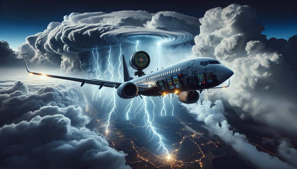
While satellite data offers invaluable insights, aircraft reconnaissance provides the most direct and detailed observations of storm structures and intensities. By flying directly into storm systems, aircraft equipped with advanced sensors capture real-time data on wind speeds, temperature, humidity, and pressure. This granular information is crucial for storm tracking and precise weather forecasting.
We deploy specialized aircraft, such as the NOAA Hurricane Hunters and the Air Force Reserve's 53rd Weather Reconnaissance Squadron, to collect this essential data. These missions involve flying into the eye of hurricanes or through developing storm systems to gather measurements from within the storm itself. The high-resolution data obtained is unparalleled in its accuracy, allowing meteorologists to refine their models and improve the predictability of storm paths and intensities.
In addition to in-situ measurements, aircraft reconnaissance also drops GPS-enabled dropsondes, which parachute through the storm, transmitting continuous data on atmospheric conditions. This method greatly enhances our understanding of storm dynamics and supports more effective storm tracking.
Ground-Based Sensors
Ground-based sensors play a vital role in enhancing our storm prediction capabilities by providing continuous, localized data on weather conditions. Sensor networks, strategically placed, enable us to monitor atmospheric changes in real time, offering high-resolution insights that are essential for accurate storm forecasting.
These sensors measure variables such as temperature, humidity, wind speed, and barometric pressure, all necessary for predicting storm formations.
Effective weather station placement is crucial for maximizing data accuracy. By positioning these stations in diverse geographical locations, we can capture a wide array of meteorological data points. Urban areas, rural regions, and coastal zones each offer unique data, enhancing our understanding of localized weather phenomena. This granularity helps us in identifying storm precursors with higher precision.
Moreover, the integration of sensor networks allows for real-time monitoring, providing immediate updates and enabling rapid response to developing weather conditions. This immediacy is particularly valuable for issuing timely warnings and coordinating emergency measures.
The data gathered from ground-based sensors complements satellite observations and aircraft reconnaissance, creating a comprehensive picture of atmospheric dynamics.
Remote Automated Weather Stations

Remote automated weather stations (RAWS) provide essential, continuous data from inaccessible locations, greatly enhancing our ability to predict storm formations. These stations are a cornerstone in our efforts to improve storm tracking and climate monitoring. By collecting real-time data from remote areas, RAWS fill gaps left by other monitoring systems, giving us a more thorough understanding of atmospheric conditions.
RAWS are equipped with various sensors that measure:
- Temperature
- Humidity
- Wind speed and direction
- Barometric pressure
This data is transmitted via satellite or cellular networks to central databases, where it's analyzed for patterns indicative of storm formation. We can then use this information to issue timely warnings, helping to protect lives and property.
The precision and reliability of RAWS make them indispensable for storm tracking. They allow us to monitor subtle changes in weather conditions that might otherwise go unnoticed. Additionally, RAWS contribute significantly to climate monitoring, providing long-term data that helps us understand broader climatic trends.
Frequently Asked Questions
How Do Remote Sensing Technologies Improve Storm Forecasting Accuracy?
How do remote sensing technologies improve storm forecasting accuracy? Satellite imagery and radar systems provide real-time data, allowing us to track storm development, intensity, and movement. This precision enhances our predictive models, giving people more time to prepare.
What Are the Limitations of Current Remote Sensing Technologies for Storm Prediction?
We face limitations with data accuracy and technology. Remote sensing technologies can't always provide precise measurements due to resolution constraints and signal interference. These issues restrict our ability to predict storm formations with absolute certainty.
How Do Advancements in AI Enhance Remote Sensing for Storm Forecasting?
We're leveraging AI integration and machine learning algorithms to enhance remote sensing for storm forecasting. These advancements boost accuracy, speed, and predictive capabilities, offering more reliable data and empowering us to make informed, proactive decisions.
What Role Do International Collaborations Play in Remote Sensing for Storm Prediction?
We emphasize international collaborations because they foster data sharing and technology exchange. These partnerships enhance our predictive capabilities, ensuring we leverage global resources and innovations for more accurate and timely storm forecasting, empowering communities worldwide.
How Is Remote Sensing Data Integrated Into Weather Prediction Models?
A stitch in time saves nine. We integrate remote sensing data into weather models by collecting real-time observations, processing them efficiently, and inputting them into predictive algorithms. This data integration enhances model accuracy and boosts our freedom to prepare.
