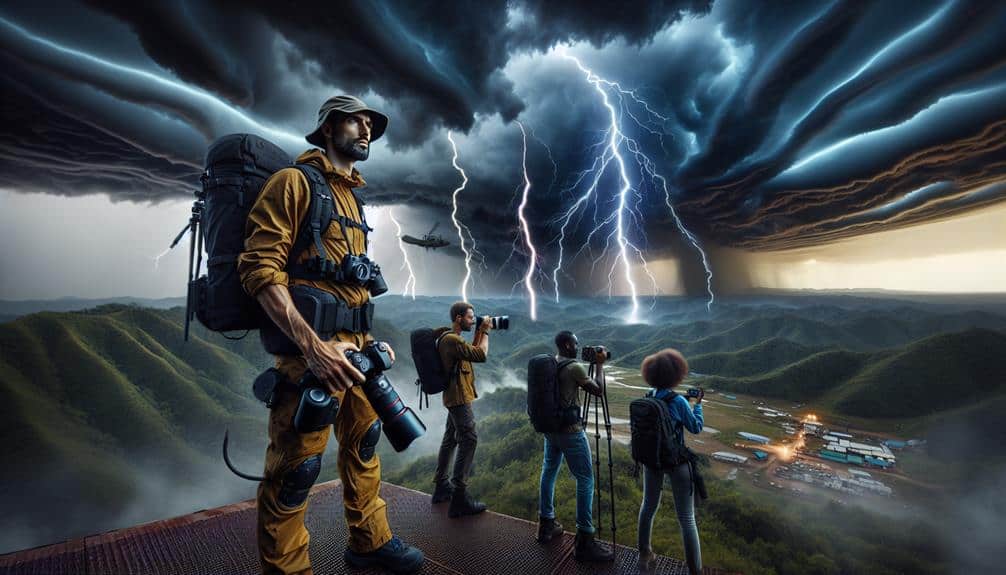
We must equip novice storm chasers with essential risk assessment skills to navigate severe weather safely and effectively. We'll start by understanding storm types like supercells and squall lines, which have distinct formations and associated hazards. Analyzing weather patterns using Doppler radar and satellite imagery helps in anticipating severe weather conditions. Recognizing tornado formation through mesocyclones and wind shear data is important. Equipping ourselves with GPS units, anemometers, and reliable communication devices ensures preparedness. Establishing clear emergency response plans and communication protocols is essential for safety. As we continue, we'll explore these important elements in more detail.
Key Points
- Understand the characteristics and hazards of supercells and squall lines to anticipate storm behavior.
- Learn to interpret meteorological charts and synoptic data for tracking storm systems accurately.
- Practice utilizing Doppler radar and satellite imagery to detect severe weather formations and potential tornadoes.
- Equip vehicles with essential safety gear and establish clear communication strategies for coordinated operations.
Understanding Storm Types
To conduct an effective risk assessment, we must first categorize and understand the various types of storms, including supercells, squall lines, and mesoscale convective systems, each with distinct characteristics and behaviors.
Supercells are characterized by their rotating updrafts, known as mesocyclones, and are typically associated with severe weather phenomena like tornadoes and large hail. The cloud formations in supercells are often towering and anvil-shaped, indicative of intense vertical development.
Squall lines, on the other hand, form as a continuous line of thunderstorms, driven by a common lifting mechanism. These systems can produce strong, linear wind patterns known as straight-line winds. Their storm dynamics involve the rapid movement of cold fronts, creating a significant wind shear environment.
Mesoscale convective systems (MCS) are larger, organized groups of thunderstorms that work together to enhance storm longevity and severity. Their cloud formations can span hundreds of kilometers, often resulting in widespread heavy rainfall and flooding.
Understanding these storm classifications helps us predict their behavior and associated risks more accurately.
Identifying Potential Hazards
Let's start by analyzing weather patterns using meteorological data to predict storm trajectories.
We'll then focus on recognizing tornado formation indicators such as wind shear and thermal gradients.
Analyzing Weather Patterns
Analyzing weather patterns involves scrutinizing meteorological data to identify potential hazards such as tornadoes, hail, and severe thunderstorms. We start with weather prediction models that utilize various atmospheric parameters, including temperature, humidity, wind speed, and pressure. By examining these variables, we can forecast the likelihood of severe weather events with greater accuracy.
We rely heavily on storm tracking technology, including radar and satellite imagery, to monitor storm development in real-time. Radar data helps us detect precipitation intensity and movement, while satellite imagery provides a broader view of cloud formations and storm systems. These tools are essential in pinpointing areas of potential severe weather.
Data from weather stations and buoys further complement our analysis. These instruments measure ground-level conditions and sea surface temperatures, offering additional insights into the atmospheric environment. By integrating this information, we create a thorough picture of current and evolving weather patterns.
In addition to observational data, historical weather records help us recognize patterns and trends. By comparing current conditions with past events, we can refine our risk assessments and make more informed decisions. This systematic approach allows us to anticipate hazards, ensuring we're well-prepared for the unpredictable nature of storm chasing.
Recognizing Tornado Formation
Recognizing tornado formation requires a deep understanding of supercell structures and the atmospheric conditions conducive to their development. To identify potential hazards, we must dissect storm anatomy meticulously.
Supercells possess a mesocyclone, a rotating updraft vital for tornado genesis. We should scrutinize cloud dynamics closely, observing for wall clouds, which can descend and initiate tornadic activity.
Within the storm's anatomy, the rear-flank downdraft (RFD) plays an essential role. This descending air can intensify rotation at the surface, boosting tornado potential. We need to monitor wind shear data, as strong directional and speed shear in the lower atmosphere fosters these dangerous conditions.
Safety precautions pivot on recognizing early warning signs. If we observe a rotating wall cloud, it's pivotal to evaluate the storm's motion and our position relative to it. The presence of a hook echo on radar imagery, coupled with heightened low-level shear, is a crucial indicator of imminent tornado formation.
When evaluating severe storms, we must carefully examine radar data and real-time atmospheric measurements to identify potential hazards. By analyzing Doppler radar velocities, we can detect mesocyclones indicative of tornado potential. Additionally, monitoring surface observations and upper-air soundings helps us understand moisture profiles, temperature gradients, and wind shear, crucial for storm spotting.
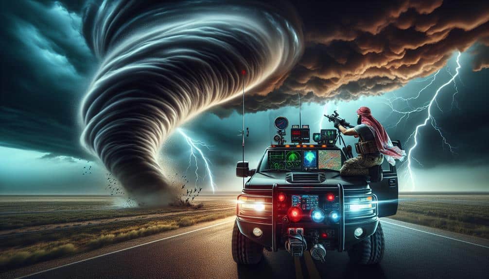
Safety precautions are paramount. We should always maintain a safe distance from the storm's core, avoiding hail shafts and downbursts. It's crucial to track lightning activity to prevent electrical hazards. Our vehicles should be equipped with reinforced glass and emergency supplies, including first aid kits and weather radios.
Storm chaser etiquette demands that we respect local communities and emergency services. We should avoid obstructing roads or interfering with rescue operations.
Clear communication strategies are vital for coordinating with fellow chasers and reporting real-time data to the National Weather Service (NWS). Using GPS-based apps allows us to share our locations and storm observations efficiently, enhancing collective situational awareness.
Using Weather Forecast Tools

We need to leverage advanced weather forecasting tools like Doppler radar and satellite imagery to accurately predict storm patterns and potential hazards. By utilizing these technologies, we enhance our storm tracking techniques and refine our risk assessment strategies.
Doppler radar allows us to detect precipitation, wind speed, and storm rotation, providing real-time data essential for making split-second decisions. Satellite imagery offers a broader perspective, capturing storm development and movement over large geographic areas.
Incorporating weather prediction tools into our arsenal, we can better anticipate severe weather events. Numerical weather prediction models, for instance, process vast amounts of atmospheric data to generate forecasts, enabling us to identify potential threat zones. These models use algorithms to simulate the atmosphere's behavior, giving us a probabilistic outlook on storm trajectories and intensities.
Hazard identification techniques are essential for pinpointing specific risks associated with these storms. By analyzing variables such as temperature gradients, humidity levels, and wind shear, we can predict phenomena like tornado formation or flash flooding. This data-driven approach not only equips us with the knowledge to stay safe but also empowers us to make informed decisions, maximizing our freedom while minimizing risks.
Analyzing Storm Data
When analyzing storm data, we must interpret meteorological charts with precision, focusing on synoptic and mesoscale patterns.
By identifying key indicators such as wind shear, temperature gradients, and moisture levels, we can accurately assess the potential for severe weather.
This data-driven approach enables us to make informed decisions in real-time storm chasing scenarios.
Interpreting Meteorological Charts
Analyzing storm data requires a thorough understanding of meteorological charts, which provide vital information on atmospheric conditions such as pressure, temperature, and wind patterns. When we commence storm tracking, these charts become our navigational tools, allowing us to interpret weather patterns with scientific precision.
By examining isobars, we can identify areas of high and low pressure, essential for predicting storm movement. Temperature gradients reveal potential energy sources for storms, while wind barbs illustrate wind speed and direction, crucial for understanding storm dynamics.
We must interpret these charts with an eye for detail and an appreciation for their complexities. Synoptic charts, for instance, offer a snapshot of weather conditions over a large area, enabling us to track storm systems and anticipate their paths. Upper-air charts, depicting data from different atmospheric levels, help us understand vertical structures and shear, which are vital in severe weather interpretation.
As we explore these charts, we're not just reading data; we're deciphering the atmosphere's language. Our ability to accurately interpret this information empowers us to make informed decisions in the field, balancing the excitement of storm chasing with the necessity of risk management. This skill is essential for our safety and success.
Identifying Key Indicators
Identifying key indicators in storm data involves pinpointing specific meteorological variables that signify the potential for severe weather events. We begin by analyzing parameters like atmospheric instability, wind shear, and moisture levels.
Elevated Convective Available Potential Energy (CAPE) values indicate robust updraft potential, a crucial early warning for storm development. Similarly, significant wind shear, particularly within the lower atmosphere, can suggest the likelihood of tornado formation.
Visual cues also play a crucial role. Satellite imagery revealing overshooting tops can indicate intense convective activity, while radar signatures such as hook echoes or bow echoes provide real-time insights into storm structure and severity. By integrating these visual cues with quantitative data, we can better predict storm behavior and potential risks.
Temperature and dew point spreads are equally important. Narrow spreads often suggest high relative humidity, a key ingredient for thunderstorm formation. Additionally, monitoring surface pressure trends and identifying low-pressure systems can help us anticipate severe weather outbreaks.
Safety Equipment Essentials
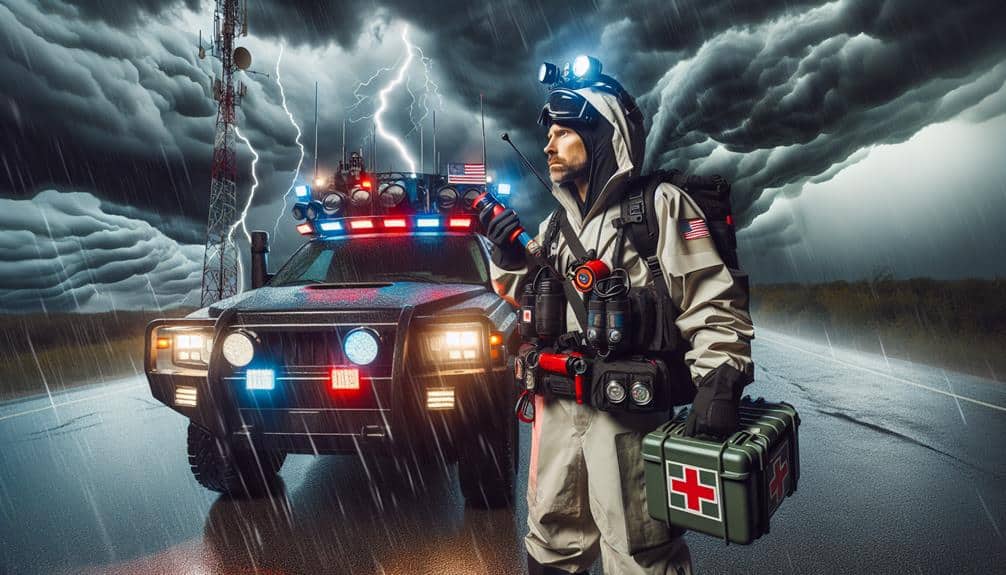
To maximize safety during storm chasing, we must equip ourselves with essential gear such as GPS units, anemometers, and sturdy communication devices. GPS units guarantee accurate geolocation tracking, pivotal for real-time navigation and data logging.
Anemometers measure wind speed, providing crucial data on storm intensity. Reliable communication devices, such as satellite phones, guarantee connectivity even in remote areas, essential for coordinating with fellow chasers and emergency services.
Proper gear maintenance is paramount. Regularly calibrating our anemometers ensures data accuracy. We should inspect GPS units for software updates and physical wear. Communication devices need consistent battery checks and signal tests to ensure functionality when it counts.
Neglecting maintenance can lead to equipment failure, jeopardizing our safety and data integrity.
In addition to gear, understanding emergency procedures is vital. Knowing how to quickly switch to backup systems if primary equipment fails can be a lifesaver. Familiarizing ourselves with local emergency frequencies and protocols enhances our preparedness.
This proactive approach minimizes risks, allowing us to chase storms with greater confidence and freedom. By meticulously maintaining our equipment and mastering emergency procedures, we guarantee that our pursuit of storms remains both thrilling and safe.
Emergency Response Planning
Effective emergency response planning requires a detailed understanding of potential hazards and swift decision-making protocols. We must first identify and map out evacuation routes tailored to various storm scenarios, ensuring that every team member is aware of them. These routes should be regularly updated to account for changes in road conditions and infrastructure.
Alongside this, we need to stockpile emergency supplies, including first-aid kits, water, non-perishable food, and essential medications, to sustain us if we're stranded.
Communication strategies are essential. We should establish a reliable, redundant communication network using radios, satellite phones, and mobile apps. This ensures we can stay in touch with each other and coordinate our actions effectively.
Response coordination involves assigning specific roles to team members, such as medical aid, navigation, and logistics, to streamline our efforts during an emergency.
Data-driven decisions are critical; real-time weather data and predictive models can inform our actions, allowing us to anticipate hazards and react promptly. By integrating these elements into our emergency response planning, we enhance our ability to adapt swiftly and maintain our freedom to chase storms safely and effectively.
Field Communication Protocols
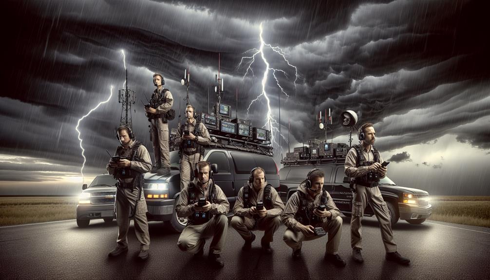
Leveraging advanced communication technologies, we guarantee seamless coordination and data transmission in the field, which is crucial for the safety and efficiency of our storm chasing operations. Effective field communication protocols are essential for implementing emergency procedures and ensuring team coordination, particularly in high-risk scenarios.
Technology Integration: By incorporating satellite phones, two-way radios, and mobile data hotspots, we maintain continuous contact regardless of cellular network availability. These tools allow for real-time data sharing and situational updates.
Data Sharing: We utilize encrypted communication channels to share meteorological data, radar imagery, and GPS coordinates. This ensures that all team members are informed and can react promptly to dynamic weather conditions.
Emergency Procedures: In case of an emergency, pre-planned communication protocols enable rapid dissemination of evacuation orders or medical aid requests. Each team member is trained to follow a predefined escalation hierarchy to ensure swift and organized responses.
Our approach balances the thrill of storm chasing with a rigorous commitment to safety. By employing state-of-the-art technology and precise data management, we enhance our operational effectiveness while preserving our freedom to explore nature's most extreme phenomena.
These protocols aren't just guidelines; they form the backbone of our resilient and adaptive field strategy.
Frequently Asked Questions
What Qualifications Are Needed to Become a Storm Chaser?
To become storm chasers, we need necessary qualifications such as meteorology degrees, hands-on experience in fieldwork, and thorough knowledge of safety protocols. Additionally, training in emergency response guarantees we can navigate extreme weather conditions effectively.
How Do You Find a Mentor for Storm Chasing?
To find a mentor for storm chasing, we should focus on networking within meteorological communities. Building experience through internships and participating in forums creates learning opportunities, enabling us to connect with experienced chasers and secure valuable mentorship.
What Are the Best Online Resources for Storm Chaser Training?
Did you know 95% of storm chasers utilize online resources? We recommend platforms like Spotter Network for live storm updates and MetEd for advanced forecasting techniques. These tools empower us with precision, autonomy, and real-time data.
How Can You Balance Storm Chasing With a Full-Time Job?
Balancing storm chasing with a full-time job requires meticulous time management and scheduling. Prioritizing work-life balance guarantees we allocate adequate time for both professional responsibilities and our passion, while maximizing efficiency through data-driven decision-making strategies.
What Insurance Options Are Available for Storm Chasers?
When it rains, it pours: we need insurance coverage with high coverage limits, liability protection, and equipment coverage. Policies should include data-driven assessments to guarantee thorough protection while maintaining our freedom to chase storms.