Understanding microphysics is crucial for storm chasers as it offers insights into cloud formation, precipitation dynamics, and storm patterns. We observe how atmospheric particles, through condensation and ice nucleation, evolve into storm systems. Using tools like remote sensing and field observations, we gather high-resolution data on droplet size and ice crystal morphology. This data helps us refine predictive models and enhances our ability to forecast severe weather events. By mastering the interpretation of microphysical properties, we improve our accuracy in predicting storms, ultimately leading to safer and more effective storm chasing strategies. Let's explore how these processes shape storm predictions in detail.
Key Points
- Microphysics aids storm chasers in understanding cloud formation and precipitation dynamics.
- Analyzing droplet size and ice crystal morphology identifies storm intensity and patterns.
- Remote sensing and field data enhance storm forecasting accuracy.
- Tools like radar and weather balloons provide critical microphysical insights.
Significance of Microphysics in Storm Analysis
Microphysics plays an important role in storm analysis by providing detailed insights into the behavior of small-scale atmospheric particles. By examining the formation of clouds and the dynamics of precipitation, we can better understand and predict storm development.
The process begins with the nucleation of ice and the growth of droplets, which are fundamental to cloud formation and precipitation dynamics.
When we examine cloud formation, we focus on how water vapor condenses onto aerosols to form cloud droplets. These droplets grow through collision and coalescence, eventually leading to precipitation. Understanding these mechanisms allows us to predict when and where precipitation will occur.
Ice nucleation is another crucial aspect. In mixed-phase clouds, ice crystals form and grow at the expense of supercooled water droplets. This process, called the Bergeron-Findeisen mechanism, is essential in determining the type and intensity of precipitation.
Key Microphysical Processes in Weather Systems
To thoroughly comprehend weather systems, we must analyze the key microphysical processes such as condensation, evaporation, and precipitation dynamics. These processes drive cloud formation and greatly influence weather patterns.
Condensation occurs when water vapor cools and transforms into liquid droplets. This leads to cloud formation, an essential precursor to precipitation.
Evaporation, on the other hand, involves liquid water converting back into vapor, which can hinder cloud formation if it dominates. Precipitation dynamics are governed by the growth of droplets and ice particles within clouds.
Droplet growth happens as smaller droplets collide and merge into larger droplets, eventually becoming heavy enough to fall as rain. Ice nucleation is another crucial process, especially in colder regions of the atmosphere.
It involves the formation of ice crystals from supercooled water droplets. These ice crystals can grow by gathering more supercooled droplets, leading to snowflakes or hailstones, depending on atmospheric conditions.
Understanding these microphysical processes is essential for predicting storm development and intensity. By dissecting these mechanisms, we can better anticipate weather changes and prepare more efficiently for storm chasing endeavors.
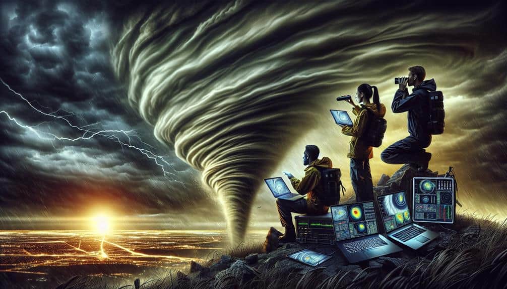
Tools for Microphysical Data Collection
Accurate weather predictions rely heavily on the sophisticated tools we use for collecting microphysical data. To grasp the complexities of atmospheric conditions, we employ remote sensing technologies and conduct detailed field observations.
Remote sensing, using satellites and radar systems, allows us to gather extensive data over vast areas, providing essential insights into cloud formations, precipitation, and other key variables. These technologies enable us to monitor storm systems in real-time, capturing data that's vital for understanding storm dynamics.
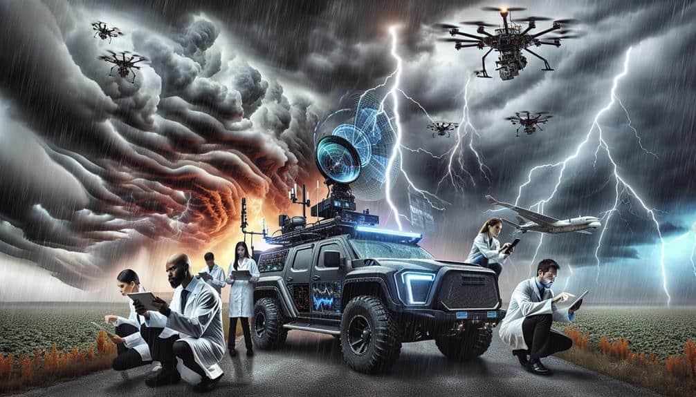
In addition to remote sensing, field observations play a central role. We deploy mobile radar units, weather balloons, and drones equipped with sensors to measure temperature, humidity, wind speed, and atmospheric pressure at various altitudes. These instruments help us collect high-resolution data, often in the core of storm systems, which is critical for validating the data obtained from remote sensing.
Combining data from both remote sensing and field observations allows us to compile a detailed picture of the microphysical processes at play. This dual approach guarantees we've the most precise and thorough information, enabling us to refine our predictive models and enhance our ability to forecast severe weather events effectively.
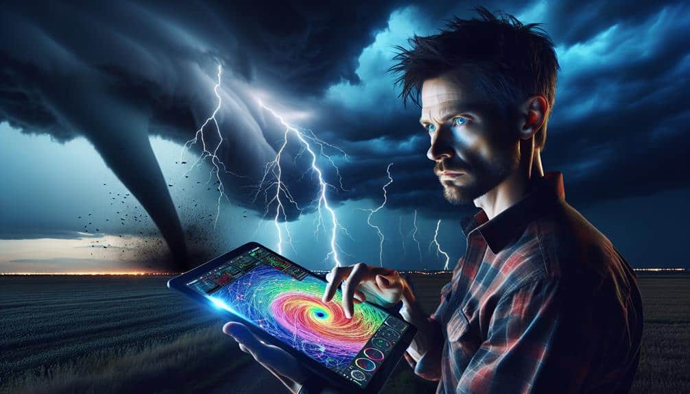
Interpreting Microphysical Data for Storm Patterns
By integrating data from both remote sensing technologies and field observations, we can systematically analyze and interpret microphysical data to identify distinct storm patterns. This dual approach allows us to capture a thorough dataset that enhances our storm forecasting capabilities.
Remote sensing instruments provide us with large-scale atmospheric data, while field observations offer detailed insights into localized storm dynamics.
When we interpret microphysical data, we focus on key parameters such as droplet size distribution, liquid water content, and ice crystal morphology. These factors play a critical role in the development and intensity of storm systems. For instance, variations in droplet size can indicate different precipitation processes, influencing our understanding of storm evolution.
By analyzing these microphysical properties, we can recognize specific storm patterns like supercells, squall lines, and mesoscale convective systems. The accuracy of our data interpretation directly impacts our ability to forecast storm behavior, allowing us to predict severe weather events with greater accuracy.
Ultimately, our goal is to transform raw microphysical data into actionable intelligence that empowers storm chasers and meteorologists alike. Through meticulous data interpretation, we can enhance storm forecasting and improve our preparedness for extreme weather conditions.
Case Studies: Microphysics in Action
In this section, we'll examine three detailed case studies that highlight the application of microphysical data in understanding and forecasting storm behavior.
First, let's consider a study from the Great Plains where ice nucleation was closely monitored. By analyzing the ice nuclei concentration, we observed how it influenced precipitation growth in supercell thunderstorms. The data revealed a direct correlation between higher ice nuclei and enhanced hail formation, essential for predicting severe weather events.
Next, we investigate cloud formation dynamics over the Gulf of Mexico. Using satellite and radar data, we tracked cloud condensation nuclei and their role in thunderstorm development. It became evident that variations in cloud condensation nuclei concentrations significantly impacted the intensity and duration of thunderstorms. This insight allowed for more accurate storm intensity forecasts, giving storm chasers a strategic advantage.
Lastly, we explore a case study from the Rocky Mountains, focusing on orographic lift and its effect on cloud formation and ice nucleation. The interaction between mountainous terrain and atmospheric microphysics led to unique precipitation growth patterns, including increased snowfall rates. By integrating microphysical observations with topographical data, we enhanced our ability to predict localized storm impacts, aiding in more efficient storm chasing strategies.
Frequently Asked Questions
How Do Atmospheric Microphysics Impact Long-Term Climate Predictions?
Juxtaposing short-term weather prediction with long-term climate modeling reveals how microphysics, especially aerosols, play a critical role. They influence cloud formation and radiative balance, making accurate climate predictions both complex and essential for informed decision-making.
What Are the Educational Requirements to Become a Storm Chaser?
To become a storm chaser, we need a meteorology degree and extensive field experience. The degree provides theoretical knowledge, while field experience hones our practical skills. These qualifications guarantee we're prepared for the unpredictable nature of storms.
How Can Hobbyists Contribute to Storm Chasing Research?
Imagine standing under a swirling tempest, instruments in hand. As hobbyists, we can immerse ourselves in citizen science, collecting critical data. By fostering community engagement and research collaboration, we advance storm chasing research and our shared passion.
What Safety Gear Is Essential for Storm Chasers?
When storm chasing, we need emergency shelters, protective clothing, communication devices, and first aid kits. These essentials guarantee our safety, enabling us to explore freely. Proper gear helps us handle unpredictable conditions with confidence and precision.
How Do Storm Chasers Communicate in Remote Areas?
In the spirit of explorers of old, we use satellite technology for communication and navigation. Emergency protocols guarantee our safety. Reliable satellite links and GPS devices keep us connected, even in the most remote areas, safeguarding our freedom.