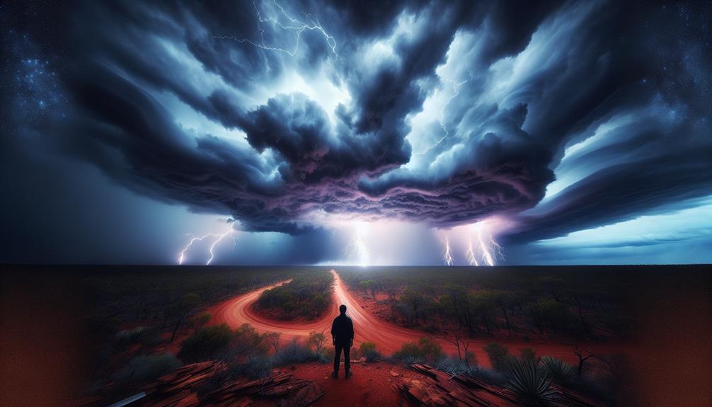
We've meticulously compiled data-driven insights to identify the top 10 solo storm chasing adventures for thrill-seekers. Plunge into Tornado Alley, the Great Plains, and Dixie Alley in the USA, where high tornado activity coincides with peak meteorological conditions. In Alberta, Canada's severe thunderstorms offer scenic routes through the Rockies. The Pampas of Argentina and Northern Australia provide unique storm structures and remote chases. Explore Central Europe, with mountain and urban settings, or the cyclone-prone regions of Eastern India. South Africa's diverse landscapes also promise lightning and tornado pursuits. Each location promises unique challenges and exhilarating experiences. Continue on to uncover further details and strategic considerations.
Key Points
- Tornado Alley, USA: High tornado activity and advanced tracking tools make it a prime destination for solo storm chasers.
- Pampas, Argentina: Unobstructed views and frequent supercells offer thrilling chases and excellent study opportunities.
- Northern Australia: Diverse terrain and intense monsoon season create unique and challenging storm chasing experiences.
- Southern France: Late spring and early autumn storms in scenic regions like Languedoc and Provence provide exciting solo adventures.
Tornado Alley, USA
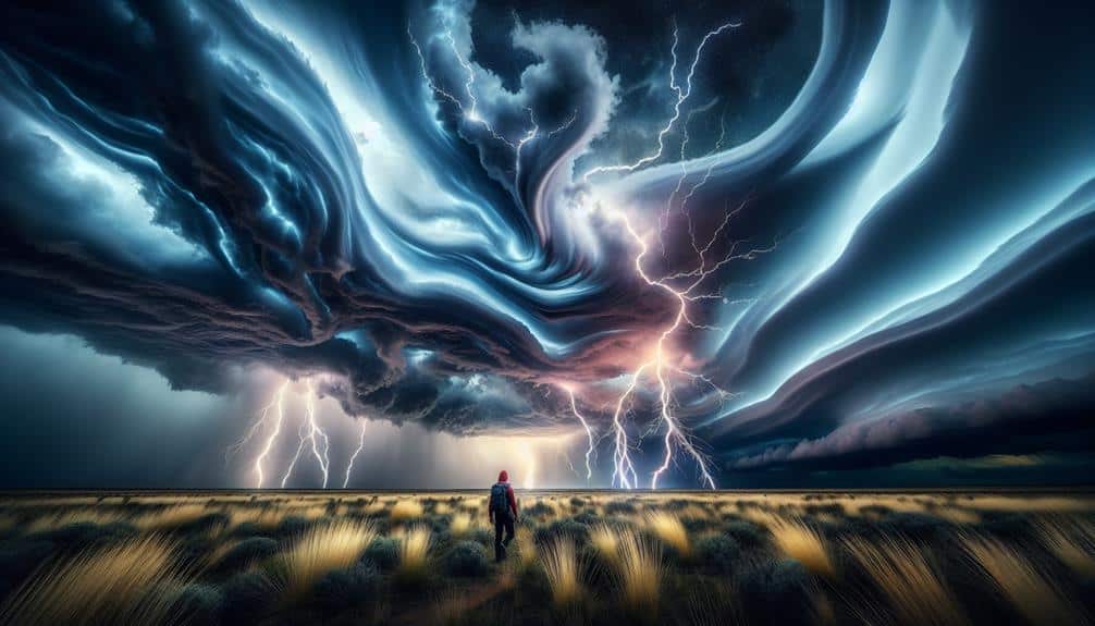
Tornado Alley, USA, presents a unique convergence of meteorological factors that make it the most active tornado-producing region in the world. We see this due to the interaction of warm, moist air from the Gulf of Mexico with cold, dry air from the Rockies and Canada.
For solo storm chasers, this region provides a perfect laboratory to refine chasing techniques and capture the adrenaline rush of witnessing nature's fury up close.
Before heading out, solo preparation is essential. We need to analyze weather models, radar data, and storm reports to pinpoint potential tornado hotspots. High-resolution models like the HRRR (High-Resolution Rapid Refresh) and tools like GRLevel3 for radar visualization are indispensable. Proper vehicle maintenance and a well-stocked emergency kit can't be overlooked.
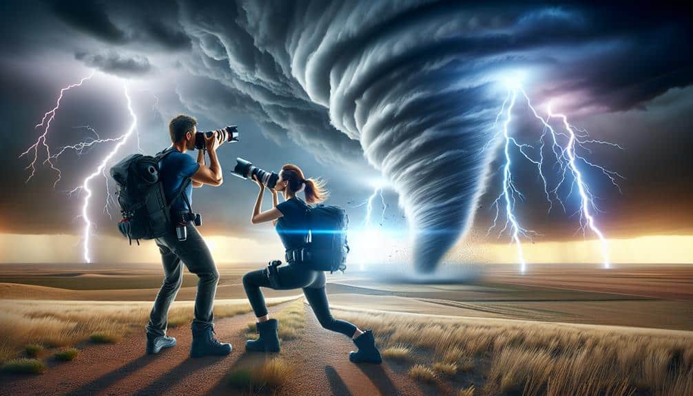
Storm photography adds another layer of excitement and technical challenge. Capturing the perfect shot under rapidly changing conditions demands both skill and intuition. We use high-speed cameras with wide-angle lenses to frame the vast scale of the storms while ensuring safety remains our top priority.
In Tornado Alley, every chase is a blend of scientific rigor and heart-pounding adventure. This region truly offers an unparalleled experience for those of us who thrive on unbounded freedom and the thrill of the chase.
Great Plains, USA
The Great Plains, USA, offer an expansive terrain where we can systematically analyze supercell development and enhance our storm-chasing methodologies. This region's vast remote wilderness provides the perfect backdrop for studying extreme weather phenomena. With minimal urban interference, we can gather more precise data on storm behavior.
Analyzing storm activity in the Great Plains enables us to:
- Track supercell evolution: By monitoring parameters like wind shear, humidity, and CAPE (Convective Available Potential Energy), we can predict and track supercell formation and lifecycle with greater accuracy.
- Optimize chase routes: Utilizing advanced mapping software and real-time data feeds, we can navigate the remote wilderness effectively, ensuring we remain safe while getting the best observations.
Our approach in the Great Plains leverages both technology and nature's untamed power. The remote wilderness here isn't just a challenge; it's a unique testing ground that expands our understanding of extreme weather dynamics. By focusing our efforts in this region, we elevate our storm-chasing expertise, embracing the freedom to explore and innovate.
Dixie Alley, USA
In Dixie Alley, we've observed a higher frequency of tornadoes compared to other regions, particularly during the spring and late fall months.
Statistical data shows peak activity in April and November, aligning with the changing weather patterns.
Analyzing these patterns, we can optimize our chase times to maximize observation opportunities while minimizing risk.
Tornado Frequency and Patterns
Often overlooked compared to Tornado Alley, Dixie Alley exhibits a higher frequency of nighttime tornadoes, complicating storm chasing efforts with increased hazards. This region's unique climatology demands that we, as dedicated storm chasers, adapt our strategies and gear to mitigate risks and optimize our observational opportunities.
To maximize safety and efficacy, the following storm chaser equipment and preparation are vital:
- Advanced Radar Systems: High-resolution radar systems allow us to detect tornado formation and behavior, especially during nocturnal hours when visual confirmation is challenging.
- Night Vision Gear: Given the prevalence of nighttime tornadoes, investing in quality night vision equipment ensures we can monitor storm developments without relying solely on radar data.
Analyzing tornado frequency and patterns in Dixie Alley, we observe that the confluence of warm, moist air from the Gulf of Mexico and cooler, drier air from the north leads to enhanced storm activity. This interaction often results in rapid tornado formation, demanding heightened vigilance.
Understanding these dynamics empowers us to navigate Dixie Alley's volatile weather systems effectively, embracing the thrill of the chase while respecting the inherent dangers.
Best Chase Times
We've identified that the prime months for chasing tornadoes in Dixie Alley are typically from March to May, supported by climatological data showing peak storm activity during this period. During these months, the region experiences ideal conditions for tornado formation due to the convergence of warm, moist air from the Gulf of Mexico and cooler, dry air from the north. This atmospheric setup often results in powerful supercell thunderstorms, making it a perfect timeframe for solo chase strategies.
For those of us seeking an adrenaline rush, it's important to leverage weather tracking technology effectively. High-resolution radar data and real-time storm reports are essential tools for predicting storm paths and ensuring safety. Solo chasers must remain vigilant, constantly monitoring updates and adjusting routes accordingly.
Moreover, March to May offers great opportunities for storm photography. The dramatic lighting and dynamic cloud formations during this period provide visually stunning and high-contrast images. Utilizing high-speed cameras and wide-angle lenses can capture the raw power and beauty of these storms.
Alberta, Canada
In Alberta, Canada, we observe that the prime storm season occurs from June to August, with data indicating a high frequency of severe thunderstorms during this period.
Analyzing the region's topography, we find that the scenic chase routes through the Rocky Mountains and prairies offer excellent vantage points for tracking storm development.
These routes not only enhance our observational capabilities but also provide critical access to storm-prone areas.
Prime Storm Season
Alberta's prime storm season, typically spanning from June to August, offers a statistically significant increase in severe weather events, driven by the clash of warm, moist air masses from the Pacific and cooler, drier Arctic air. This atmospheric dynamism generates a fertile ground for storm photography, providing solo storm chasers with both an adrenaline rush and ideal conditions for capturing extreme weather phenomena.
We find that Alberta's storm season isn't just about the frequency of storms but also their intensity. According to Environment Canada, the province experiences an average of 13 tornadoes annually, with peak activity in July. This data underscores the potential for thrilling chases and awe-inspiring photographic opportunities.
- Meteorological Patterns: The convergence of differing air masses creates supercells, which are the breeding ground for tornadoes and severe thunderstorms.
- Technological Integration: Utilization of radar technology and real-time meteorological data enhances chase safety and success rates.
Chasing storms in Alberta offers a unique blend of freedom and risk, underpinned by data-driven strategies and cutting-edge technology, making it an unparalleled experience for those seeking the ultimate thrill.
Scenic Chase Routes
Exploring Alberta's scenic chase routes requires a strategic understanding of the province's diverse topography and meteorological hotspots to maximize storm-chasing efficiency and photographic outcomes. Alberta's geography presents a unique mix of mountain ranges and open plains, making it a prime location for capturing dramatic storm formations.
Our first point of interest is the Rocky Mountain range, where orographic lift can intensify storm development. The eastern slopes of these mountains often experience strong updrafts, essential for supercell formation. Capturing storms here demands precise timing and positioning, as the rugged terrain can impede quick relocations.
Next, we focus on the foothills region, which shifts from mountainous to flatter landscapes. This area is known for its high frequency of severe thunderstorms, especially during the summer months. Data from Environment and Climate Change Canada highlights this zone as a key area for hail and tornadic activity, offering us numerous photographic opportunities.
Although Alberta lacks coastal cliffs, the dramatic elevation changes within the province can still create awe-inspiring vistas. By leveraging real-time meteorological data and topographic maps, we can navigate this varied terrain effectively, ensuring that every storm chase is both thrilling and visually rewarding.
Pampas, Argentina
Spanning over 750,000 square kilometers, the Pampas of Argentina offer a prime location for analyzing the meteorological conditions conducive to severe storm development. The vast, flat terrain facilitates unobstructed views of storm structures, while the region's unique climatic interactions provide a fertile ground for studying supercells and tornado genesis.
As we traverse these rural landscapes, we're also likely to encounter diverse wildlife, adding another layer of excitement to our storm-chasing endeavors.
Our journey through the Pampas isn't just about the storms. The local cuisine and cultural experiences enrich our adventure, offering a taste of Argentina's vibrant heritage. From savoring traditional asado to exploring quaint villages, the Pampas provide a holistic adventure for the thrill-seeker.
Key aspects to take into account during our storm-chasing expeditions include:
- Meteorological Data: The Pampas are characterized by frequent frontal systems and moisture influx from the Atlantic, vital for storm development.
- Topography: The flat landscapes enhance visibility, making it easier to track storm paths and structures.
Southern France
Let's analyze Southern France as a prime region for storm chasing, focusing on key locations like the Cévennes and Languedoc.
Historical weather data indicates September to November as the peak period for severe weather events.
We'll also address essential safety protocols to mitigate risks during solo expeditions.
Prime Chasing Locations
In Southern France, the convergence of Mediterranean and continental weather systems creates ideal conditions for storm chasing, particularly in regions like the Languedoc and Provence. This area offers prime locations for international storm chasing, providing unique experiences for thrill-seekers.
We can leverage the dynamic interplay between warm, moist air from the Mediterranean and cooler, drier air from inland to locate and document extreme weather events.
Our main focus areas include:
- Languedoc Region: Known for its varied topography, including coastal plains and mountainous areas, it offers a diverse range of storm formations. This diversity enhances the opportunities for extreme weather photography, capturing the moment in both broad landscapes and confined valleys.
- Provence Region: The Mistral winds funnel through the Rhône Valley, creating intense storm activity. Provence's picturesque backdrop contrasts sharply with the dramatic weather, making it a hotspot for capturing stunning storm images.
Best Timeframes
The best timeframes for storm chasing in Southern France are primarily during the late spring and early autumn months, when meteorological data indicates peak storm activity. During these periods, the atmospheric conditions are most favorable to the formation of severe thunderstorms, providing ideal opportunities for chasing. Data from the French meteorological service highlights May through June and September through October as the months with the highest frequency of significant storm events.
For those of us venturing out solo, it's important to leverage precise weather forecasting tools. We should monitor real-time data from sources like Météo-France and utilize storm tracking apps such as RadarScope or Storm Shield. These tools help us predict and navigate storm paths effectively.
When it comes to best gear recommendations, we need to make sure our equipment is both reliable and portable. A high-quality DSLR camera with a weather-sealed lens is essential for capturing storm phenomena. Additionally, a sturdy tripod and a GPS-enabled weather radio are essential for safety and accurate location tracking. Investing in a rugged vehicle with all-terrain capabilities can also enhance our mobility and ensure we remain adaptable to changing conditions.
Safety Tips
While having the right gear and timing is essential, guaranteeing our safety during solo storm chasing in Southern France requires meticulous planning and adherence to specific precautions. The region's weather can be unpredictable, necessitating a structured approach to achieve the best results.
First, we need to establish robust safety precautions and emergency plans. This involves identifying local emergency services and understanding the region's terrain. We must plan escape routes and designate safe zones in our chase area.
Utilizing advanced meteorological tools is non-negotiable. High-resolution radar, satellite imagery, and real-time updates from weather stations allow us to predict storm patterns and avoid hazardous conditions.
Reliable communication is essential. We should invest in high-quality radios, GPS systems, and smartphones with emergency apps. These devices guarantee that we stay connected, even in remote areas, and can call for help if needed.
Our vehicles must be storm-ready. This includes maintaining them in optimal condition, storing essential supplies like food, water, and first aid kits, and ensuring that we've a full tank of fuel at all times.
Northern Australia
Amid the vast landscapes of Northern Australia, storm chasers prioritize analyzing meteorological data to anticipate severe weather events with precision. We leverage satellite imagery, Doppler radar, and atmospheric models to pinpoint the genesis and path of thunderstorms. This detailed planning guarantees our outback adventures deliver the ultimate adrenaline rush while maintaining a level of safety.
Northern Australia's remote wilderness offers a unique arena for tracking extreme weather. The terrain, ranging from arid deserts to lush tropics, presents diverse meteorological phenomena. By studying variables like humidity, wind shear, and temperature gradients, we can predict the likelihood of supercells and other severe storms. For instance, the monsoon season—typically from November to April—brings increased atmospheric instability, ideal for storm formation.
Data analysis isn't just about prediction; it's about maximizing our experiential freedom. By understanding storm patterns, we can navigate the outback more effectively, ensuring we're in the right place at the right time. Our reliance on real-time data feeds, including lightning detection networks and ground-based weather stations, enables us to adapt dynamically to evolving storm conditions. This adaptability is essential when chasing in such an unpredictable and expansive environment.
Central Europe
Shifting our focus to Central Europe, we analyze synoptic charts and mesoscale models to monitor the development of severe convective systems across this densely populated region. This analysis reveals complex meteorological patterns influenced by both oceanic and continental air masses, providing diverse storm chasing opportunities.
Mountain storm chasing in the Alps offers an unparalleled adrenaline rush. The orographic lift in these regions often results in intense thunderstorms, hail, and even supercells. Our goal is to position ourselves strategically to capture the raw power of these storms, ensuring we adhere to safety protocols given the rugged terrain.
Urban storm chasing in cities like Prague or Vienna provides a unique perspective. The urban heat island effect can exacerbate storm intensity, leading to dramatic cloud formations and lightning displays. Navigating these densely built environments requires precise timing and constant monitoring of real-time data.
- Key meteorological tools:
- Synoptic charts for large-scale weather patterns
- Mesoscale models for localized storm predictions
- Doppler radar for real-time storm tracking
- Safety considerations:
- Avoiding flood-prone urban areas
- Ensuring clear escape routes in mountainous regions
Central Europe's diverse landscapes and weather systems make it a prime location for storm chasing enthusiasts seeking both adventure and scientific insight.
Eastern India
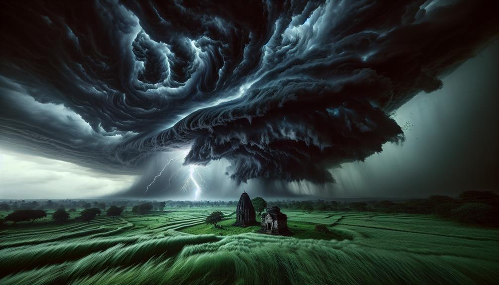
Eastern India provides a distinct storm chasing landscape distinguished by the merging of the Bay of Bengal's humid air and the region's intricate topography, which often leads to severe thunderstorms and cyclonic activity. This area is a prime spot for thrill-seekers seeking to explore monsoon adventures, eastern India style.
The interaction between the southwest monsoon winds and the coastal geography creates a fertile ground for intense weather phenomena. Examining data from the Indian Meteorological Department, we observe that eastern India encounters around 130-150 rainy days annually, with peak activity from June to September.
Coastal storm pursuits, eastern India focused, are especially thrilling due to the frequent occurrence of cyclonic systems that form in the Bay of Bengal. The topography, featuring coastal plains shifting to hilly terrains, adds an additional layer of complexity to storm tracking.
We can utilize advanced radar systems and satellite imagery to forecast storm paths with high precision, allowing us to position ourselves effectively for data collection and safety. For those longing for freedom and the raw power of nature, eastern India's storm chasing opportunities offer both scientific fascination and unparalleled adrenaline rushes.
South Africa
With a shift from the humid, cyclonic activity of eastern India, South Africa offers a contrasting storm chasing experience characterized by its unique meteorological phenomena and diverse landscapes. Here, we can expect to encounter powerful thunderstorms, especially during the summer months from October to April. The Highveld region provides an excellent environment for observing supercells, driven by the convergence of moist air from the Indian Ocean and dry air from the Kalahari Desert.
For those seeking an adrenaline rush, South Africa's storm chasing is enhanced by its iconic safari excursions, allowing us to blend wildlife observation with meteorological pursuits.
- Thunderstorm Frequency: The Highveld region experiences an average of 80-100 thunderstorm days per year, presenting abundant opportunities for storm chasing.
- Tornado Potential: Though less frequent than in the United States, South Africa records approximately 20-30 tornadoes annually, primarily in the northeastern regions.
The combination of these factors makes South Africa a prime location for enthusiasts keen to explore the dynamic interplay of severe weather systems and breathtaking landscapes.
Frequently Asked Questions
What Are the Essential Safety Tips for Solo Storm Chasing?
We must prioritize safety first. Always identify nearby emergency shelters, keep reliable GPS trackers, and maintain constant communication with weather updates. Data shows these precautions greatly reduce risks while allowing us to chase storms freely and responsibly.
How Can I Predict Storm Development Using Weather Apps?
Let's cut to the chase—predicting storm development with weather apps requires understanding their accuracy and storm tracking techniques. We analyze radar data, satellite imagery, and real-time alerts to stay ahead of the game and guarantee precise predictions.
What Gear Is Necessary for Filming Storms Safely?
We need equipment like sturdy tripods and weather-resistant cameras. Precautions to take include keeping a safe distance and having an escape route. Effective filming techniques and safety measures guarantee we capture stunning footage without compromising our safety.
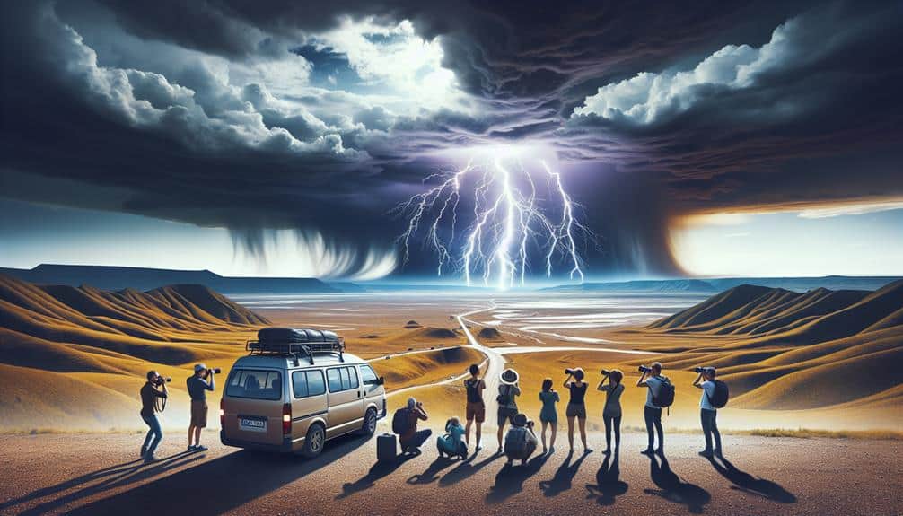
Are There Storm Chasing Tours for Beginners?
Yes, there are storm chasing tours for beginners. These group experiences offer affordability while providing educational opportunities. We can learn advanced techniques from experts and enjoy the freedom of exploring safely without the need for personal expertise.
How Do I Communicate With Local Emergency Services During a Storm?
We guarantee emergency communication by using radio frequencies, phone apps, and GPS systems. Following established safety protocols, we monitor weather updates, report our location, and stay informed to maintain our freedom while prioritizing safety during storms.