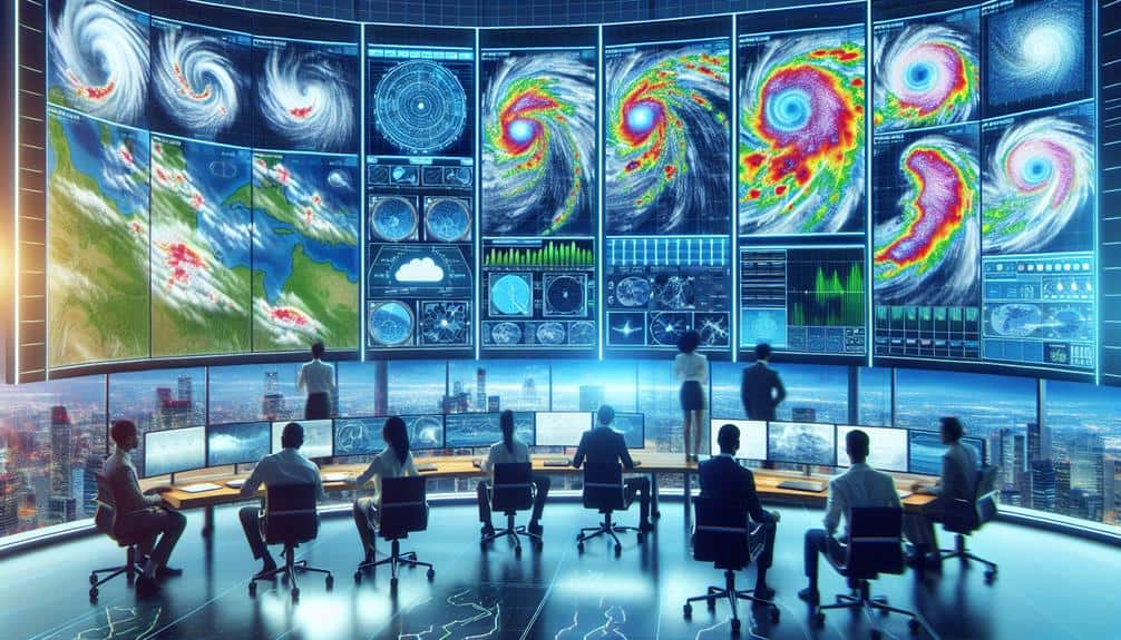
As storm chasers, we've harnessed advanced radar technologies to track severe weather with precision. Doppler radar plays an essential role by measuring wind velocities and precipitation movement through Doppler shift analysis. Dual-polarization radar enhances our capacity to differentiate precipitation types, improving storm intensity assessments. By analyzing reflectivity and velocity data, we identify patterns, assess precipitation intensity, and predict wind direction and speed. Mobile radar units enable real-time data collection, enhancing our predictive accuracy and public safety measures. By continuing with this guide, you'll gain deeper insights into how these technologies revolutionize storm tracking and forecasting.
Key Points
- Radar systems use radio waves to detect and track weather conditions in real-time.
- Doppler radar measures wind speed and precipitation movement, aiding storm chasers in tracking storm intensity.
- Dual-polarization radar distinguishes between different precipitation types, enhancing storm analysis.
- Reflectivity data indicates the intensity of precipitation, while velocity data shows wind speed and direction.
Basics of Radar Technology
To understand storm chaser radar technology, we need to first grasp the fundamental principles of how radar systems detect objects and measure their distance and speed. Radar functionality is predicated on the emission of radio waves, which bounce off objects and return to the radar system. By calculating the time it takes for these waves to return, we can determine the object's distance.
Additionally, Doppler shift analysis allows us to measure the speed of an object by observing changes in the frequency of the returned signal.
In radar applications, storm chasers use these principles to track severe weather conditions accurately. By sending out a focused beam of radio waves and analyzing the returned signals, we can map out precipitation patterns and identify potential tornadoes or severe thunderstorms. This real-time data is vital for making informed decisions on where to position ourselves safely while maximizing our observational capabilities.
Radar technology isn't just about detecting objects; it's about providing us with the freedom to understand and predict weather patterns with precision. With the right analytical tools and data interpretation skills, we can harness radar functionality to navigate the unpredictable nature of storms, ensuring both safety and scientific discovery.
Types of Radar Used
Among the various radar systems used by storm chasers, Doppler radar stands out as a crucial tool for its capacity to measure both the velocity and location of weather phenomena. We rely heavily on Doppler radar because it provides real-time information on wind speeds and precipitation movement, essential for forecasting storm paths.
This radar type emits electromagnetic waves and gauges the frequency shift when they reflect back from moving objects, like raindrops or hailstones. Consequently, it enables us to calculate the speed and direction of these particles, offering a detailed view of storm dynamics.
In addition to Doppler radar, dual polarization radar has transformed our storm-chasing approaches. This advanced radar system sends out both horizontal and vertical pulses, allowing us to differentiate between various types of precipitation—rain, snow, sleet, and even debris. By examining the shape, size, and orientation of particles, dual polarization radar improves our ability to evaluate storm intensity and potential dangers more precisely.
The incorporation of these radar technologies equips us with the detailed, actionable data necessary to navigate and predict severe weather events, thereby ensuring our safety and maximizing our capacity to capture invaluable meteorological data.
How Radar Detects Storms
Radar detects storms by emitting electromagnetic waves, which bounce back upon encountering atmospheric particles, allowing us to analyze their speed, size, and movement. When radar signals are transmitted into the atmosphere, they interact with precipitation particles such as raindrops, hailstones, and snowflakes. The returned signals, or echoes, contain essential information about storm characteristics. By measuring the time delay between the emission and return of these signals, we can accurately determine the distance to the storm.
Moreover, Doppler radar technology enables us to assess the velocity of these particles. By analyzing the frequency shift in the returned radar signals, we can gauge whether the particles are moving towards or away from the radar site. This data is vital for identifying rotational patterns within storm systems, which are often indicative of tornadoes.
We also leverage dual-polarization radar, which transmits waves both horizontally and vertically. This allows us to distinguish between different types of precipitation and better understand storm structure. These advanced radar techniques empower us to dissect storm characteristics with precision, enhancing our ability to predict severe weather events.
Interpreting Radar Data
Interpreting radar data involves analyzing the returned signal's intensity and velocity measurements to extract detailed information about storm dynamics. When we engage in radar interpretation, we explore the nuances of how storms behave and evolve. This process is indispensable for storm tracking and enhancing forecasting accuracy.
Visualizing radar data requires us to focus on two main aspects: reflectivity and velocity. Reflectivity measures the strength of returned signals, indicating precipitation intensity. High reflectivity often correlates with severe weather, such as hail or heavy rainfall. Velocity data, on the other hand, reveals the wind's speed and direction within the storm. By examining these parameters, we can identify rotation patterns, suggesting possible tornado formation.
To streamline our analysis, we can break the process into four key steps:
- Identify Reflectivity Patterns: Locate areas of high reflectivity to pinpoint heavy precipitation.
- Analyze Velocity Data: Examine wind patterns to detect rotation or shear.
- Correlate Data Points: Cross-reference reflectivity and velocity to verify storm intensity.
- Forecast Trajectory: Use combined data to predict the storm's path.
Advances in Radar Tech

Recent advancements in radar technology have greatly improved our ability to monitor and analyze severe weather events with greater precision and detail. One of the most important breakthroughs has been in Doppler radar technology. These enhancements provide us with higher resolution data, enabling more accurate storm tracking. Enhanced Doppler radar can now detect small changes in wind speed and direction, allowing us to identify potential tornado formations earlier and more precisely.
Furthermore, mobile radar units have transformed how we chase storms. These units offer real-time data viewing, providing immediate insights into storm development and movement. Equipped with the latest radar tech, these mobile units allow us to stay ahead of rapidly changing weather conditions, giving us the flexibility to make quick, informed decisions on the move.
The integration of dual-polarization technology in modern radar systems further enhances our ability to differentiate between rain, hail, and other precipitation types. This level of detail is essential for accurate storm analysis and forecasting. By utilizing these advanced radar technologies, we can now provide more dependable warnings and improve public safety significantly during severe weather events.
Our commitment to remain at the forefront of storm tracking technology enables us to better comprehend and mitigate the impacts of these natural phenomena.
Frequently Asked Questions
How Do Storm Chasers Stay Safe While Using Radar Technology?
We stay safe by keeping our equipment in top shape and following strict safety measures. It's like maneuvering a stormy sea; we rely on well-maintained radar technology to guide us through the chaos while ensuring our freedom.
What Qualifications Are Needed to Become a Storm Chaser?
To become storm chasers, we've got to have the required education and experience in meteorology, plus necessary equipment and skills. Advanced degrees aren't mandatory, but field experience, radar operation skills, and safety training are essential.
We use advanced data sharing and communication tools to provide real-time updates and enable seamless collaboration. By leveraging mobile networks and satellite systems, we guarantee accurate radar data is shared instantly, enhancing our collective decision-making and safety.
Are There Any Legal Restrictions on Storm Chasing Activities?
Remember the tragic case of Tim Samaras? Legal regulations on storm chasing guarantee our safety by enforcing safety measures and proper use of radar technology. They balance our freedom to chase with the need for public protection.
What Are Some Common Misconceptions About Storm Chasers and Their Work?
Many believe storm chasers are reckless thrill-seekers, but that's far from accurate. Public perception often overlooks our rigorous risk management strategies and safety precautions, ensuring data collection is both scientific and crucial for public safety and freedom.
