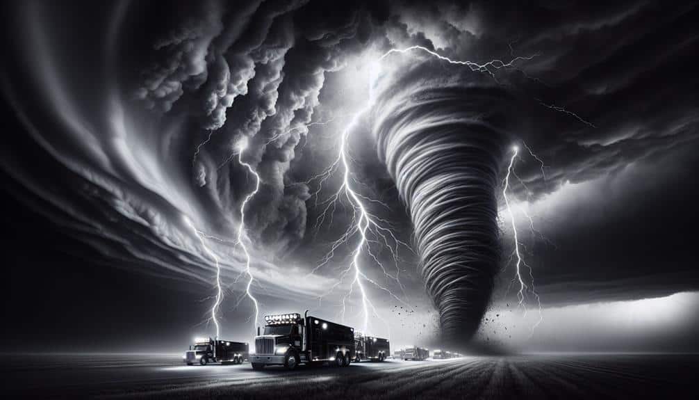
We're diving into seven groundbreaking remote sensing techniques that revolutionize storm chasing. Doppler Radar Systems measure storm particle velocity, essential for tracking and analysing precipitation. Mobile Weather Stations give real-time insights into temperature, humidity, pressure, and wind. Aerial Drones, equipped with high-res cameras, monitor storm developments. Satellite Imagery provides wide-area, high-resolution data on cloud patterns. Lidar Technology uses laser pulses for high-res, 3D maps of storm structures. Ground-Based Sensors track temperature, pressure, and humidity in real-time. Lightning Detection Systems offer data on lightning strikes, improving thunderstorm tracking. Stay with us to explore these innovations further.
Key Points
- Doppler radar systems measure storm particle velocity and detect rotation for detailed precipitation and wind analysis.
- Mobile weather stations provide real-time data on temperature, humidity, pressure, and wind conditions with advanced sensors.
- Aerial drones collect high-resolution imagery and meteorological data, enhancing real-time storm monitoring and tracking.
- Satellite imagery offers wide-area coverage and real-time monitoring of cloud patterns and atmospheric layers during severe weather.
Doppler Radar Systems
Doppler radar systems are vital tools that allow us to measure the velocity of storm particles by analyzing the frequency shift of the returned signal. These systems are essential for storm tracking, providing real-time atmospheric data that helps us understand the dynamics of severe weather. By transmitting microwave signals and interpreting their echoes, we can determine both the location and speed of precipitation particles within a storm.
The ability to analyze these frequency shifts lets us detect rotation within storm systems, which is critical for identifying potential tornadoes. This detailed precipitation analysis is invaluable, especially when we're dealing with fast-moving and unpredictable weather patterns.
Doppler radar systems enable us to assess wind speed and direction, offering a thorough view of atmospheric conditions.
When severe weather strikes, having precise and up-to-date atmospheric data can mean the difference between safety and disaster. These systems give us the freedom to make informed decisions, whether we're chasing storms for research or simply ensuring our communities are prepared.
Mobile Weather Stations
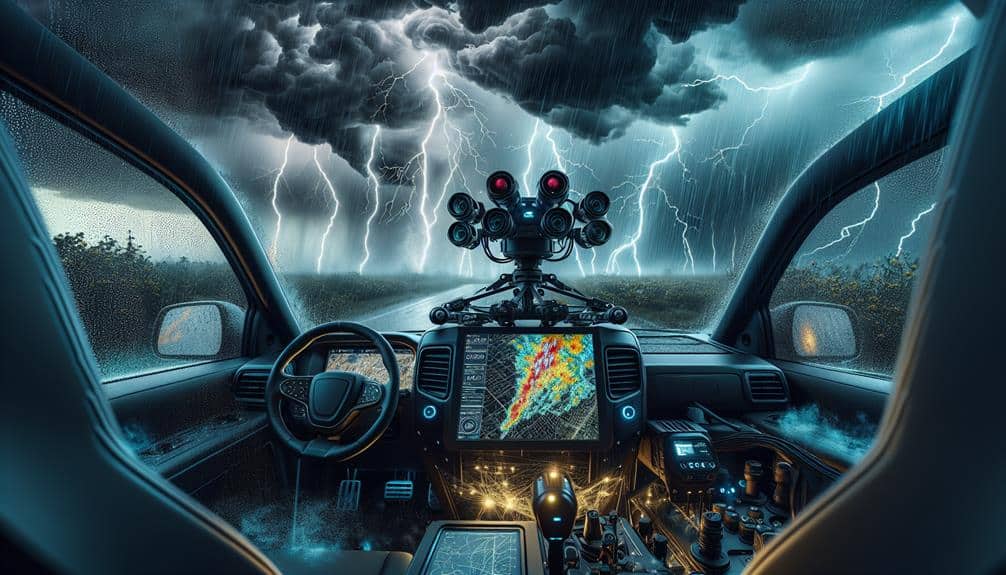
Mobile weather stations provide storm chasers with on-the-go meteorological data, enabling real-time analysis of temperature, humidity, pressure, and wind conditions directly from the heart of severe weather events. These stations are equipped with advanced sensors that deliver essential data, allowing us to observe and interpret weather patterns with unmatched precision.
Instruments within our mobile weather stations capture real-time data, providing us with immediate insights into rapidly changing atmospheric conditions. This real-time feed is vital for storm prediction and effective data analysis. By having access to up-to-the-minute information, we can make informed decisions on where to position ourselves, enhancing both our safety and the quality of our observations.
Our mobile setups typically include anemometers, barometers, hygrometers, and thermometers, all integrated into a cohesive system. This array of sensors feeds data into onboard computers, which then process and relay the information to our analysis tools. The ability to gather and interpret this data on the move gives us a significant advantage in understanding storm dynamics and predicting their evolution.
Moreover, the mobility of these stations guarantees we're not confined to fixed locations. We can chase the storm, collecting invaluable data that stationary systems might miss. This freedom to move enhances our ability to contribute to broader meteorological research and improve storm prediction models.
Aerial Drones
Aerial drones equipped with high-resolution cameras and advanced sensors have revolutionized how we gather meteorological data from dangerous and hard-to-reach storm environments. These drones enable us to perform real-time monitoring and storm tracking with unprecedented accuracy and detail. By flying directly into storm systems, drones collect high-resolution imagery and a wealth of meteorological data that traditional methods simply can't match.
We can deploy these drones quickly and navigate them through complex storm structures, providing us with vital information on wind speeds, temperature, humidity, and pressure variations. The high-resolution imagery captured by their cameras offers detailed visual insights into storm formation and behavior, allowing us to make more informed predictions and improve our storm tracking capabilities.
The real-time data collection capabilities of drones mean we can monitor storm developments as they happen, giving us the freedom to adapt our strategies on the fly. This flexibility is essential for staying ahead of rapidly changing weather conditions, ensuring our safety while maximizing the effectiveness of our storm chasing efforts.
Satellite Imagery
Leveraging the power of satellite imagery, we can observe large-scale weather patterns and storm systems from a vantage point that offers unparalleled coverage and detail. This technology allows us to monitor the evolution of cloud patterns and precipitation, which are pivotal for understanding storm dynamics. With satellites orbiting the Earth, we gain the ability to collect continuous data on atmospheric conditions, which enhances our weather forecasting capabilities and situational awareness.
Satellite imagery provides several key advantages for storm chasing:
- Wide-Area Coverage: Satellites cover vast regions, enabling us to track storms over both land and sea.
- High-Resolution Data: Advanced sensors on satellites capture detailed images, revealing fine details in cloud patterns and precipitation.
- Real-Time Monitoring: We receive near-instantaneous updates, helping us make timely decisions during severe weather events.
- Multispectral Imaging: Satellite sensors operate across various wavelengths, offering insights into different atmospheric layers and phenomena.
Lidar Technology
Lidar technology offers us a precise method to measure atmospheric properties such as wind speed, humidity, and particulate concentration by emitting laser pulses and analyzing their reflections. Through this technique, we can obtain high-resolution, three-dimensional maps of storm structures, allowing us to observe and predict severe weather phenomena with remarkable accuracy.
One of the primary Lidar applications for storm chasers is the detection and mapping of wind fields within storm systems. By measuring the Doppler shift of the reflected laser light, we can determine wind speeds and directions at various altitudes, providing critical data for forecasting tornadoes and other hazardous weather events. Additionally, Lidar can measure aerosol and particulate concentrations in the atmosphere, offering insights into storm dynamics and pollutant dispersion.
Recent Lidar advancements have pushed the boundaries of what we can achieve in storm chasing. Innovations in portable Lidar systems now allow us to deploy this technology in the field, capturing real-time data as storms develop.
Enhanced signal processing techniques have also improved the accuracy and range of Lidar measurements, enabling us to gather more detailed information from greater distances. These advancements empower us to explore new frontiers in atmospheric science, enhancing our understanding and predictive capabilities of severe weather.
Ground-Based Sensors
Ground-based sensors provide vital data on temperature, pressure, and humidity at various locations, enabling us to monitor and analyze storm conditions with high detailed resolution. By deploying these sensors strategically, we can gather data on soil moisture and temperature gradients, both of which play significant roles in storm development and behavior.
Our ability to gather real-time data from these sensors allows for more precise storm predictions and warnings. These sensors are essential tools for storm chasers:
- Weather Stations: Collect detailed atmospheric data, including temperature, humidity, and barometric pressure.
- Soil Moisture Sensors: Measure the water content in the soil, which can impact storm intensity and precipitation patterns.
- Anemometers: Record wind speed and direction, providing insights into storm dynamics and potential changes.
- Thermocouples: Track temperature gradients across different altitudes, helping us understand thermal dynamics within storm systems.
Lightning Detection Systems
Lightning detection systems play an important role in storm chasing by providing real-time data on lightning strikes, which helps us track storm development and assess potential hazards accurately. These systems utilize advanced lightning mapping techniques to pinpoint the exact location, intensity, and frequency of lightning strikes, giving us a detailed picture of the storm's electrical activity.
By integrating lightning detection data with other remote sensing tools, we can enhance our thunderstorm tracking capabilities significantly. The precise mapping of lightning strikes enables us to identify the most active parts of a storm, allowing us to focus our efforts on areas with the highest potential for severe weather. This is vital for making real-time decisions that keep us safe while maximizing the effectiveness of our observations.
Moreover, lightning detection systems can differentiate between cloud-to-ground and intra-cloud lightning, providing deeper insights into storm dynamics. This distinction is crucial for understanding the development stages of a thunderstorm and predicting its future behavior.
Frequently Asked Questions
How Can Storm Chasers Ensure Their Safety While in the Field?
We can't stress how 'invincible' we feel chasing storms. But to guarantee our safety, we rigorously follow emergency protocols and always have safety equipment ready. Balancing freedom with preparedness is key to our exhilarating, yet safe, adventures.
What Are the Legal Regulations for Using Drones in Storm Chasing?
We must comply with drone regulations, including maintaining line-of-sight and altitude limits. Safety protocols require us to avoid restricted airspace and populated areas. Following these rules guarantees our safety while preserving our freedom to storm chase effectively.
How Do Storm Chasers Communicate in Areas With Poor Cell Reception?
We use satellite communication and emergency beacons to stay connected in areas with poor cell reception. Satellite devices provide reliable communication, while emergency beacons guarantee our safety by signaling distress signals when conventional methods fail.
What Training Is Required to Become a Professional Storm Chaser?
We need the world's best meteorology education, endless field experience, and a passion for freedom to become pro storm chasers. It's about mastering weather patterns, safety protocols, and real-time decision-making under extreme conditions.
How Do Storm Chasers Fund Their Expeditions and Equipment?
We fund our expeditions and equipment through various funding sources, including grant opportunities, sponsorship, and crowdfunding opportunities. These methods allow us to maintain financial freedom and continue our storm chasing endeavors without significant personal investment.