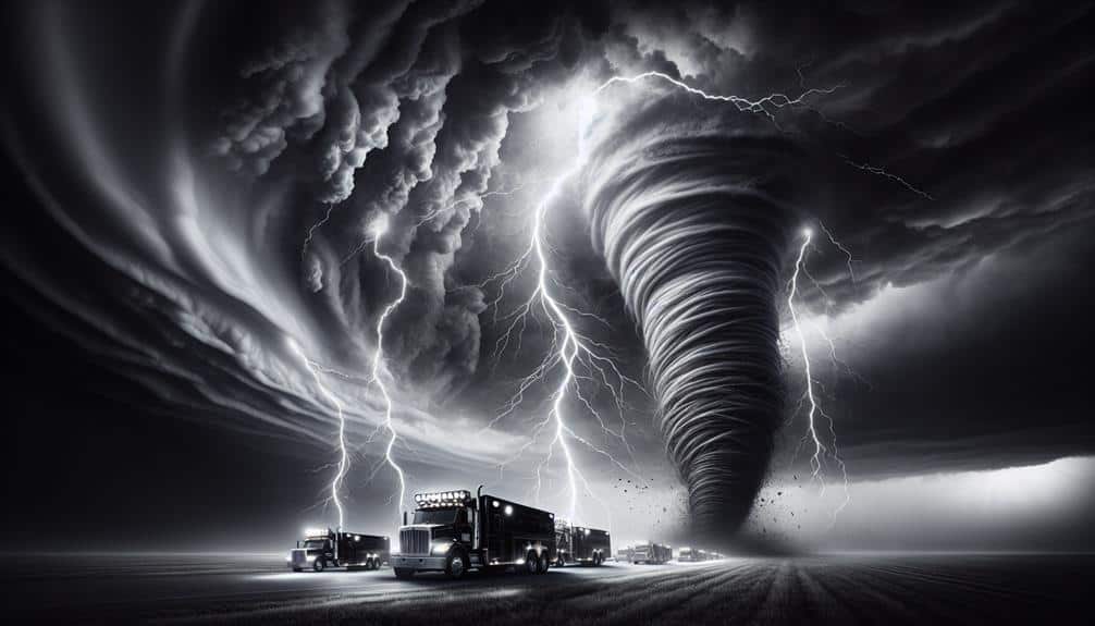
As storm chasers, we depend on cutting-edge technology for real-time monitoring. Mobile weather stations provide essential atmospheric data, while GPS tracking systems offer precise storm localization. We use Doppler radar to detect weather patterns and identify tornado formations. Satellite communication guarantees we stay connected and gather data from remote areas. High-resolution cameras capture detailed meteorological phenomena, and wind speed sensors give us real-time updates on storm intensity. These combined technologies enable accurate, data-driven decisions and enhance our predictive models, allowing us to track and respond to storms efficiently. Stay tuned to discover how each component operates in our operations.
Key Points
- Mobile weather stations provide real-time meteorological data and capture crucial atmospheric parameters.
- GPS tracking systems offer precise location data and map storm trajectories.
- Doppler radar integration measures precipitation particle velocity and identifies tornado formation indicators.
- Satellite communication ensures real-time data transmission and connectivity in remote areas.
Mobile Weather Stations
Mobile weather stations are essential tools that provide real-time meteorological data directly from the field. By utilizing these stations, we can enhance our weather data interpretation, enabling us to make more accurate storm predictions. These units can be strategically deployed to capture crucial atmospheric parameters such as temperature, humidity, wind speed, and barometric pressure. Deployment strategies focus on positioning stations in areas most likely to be affected by severe weather, maximizing the relevance and accuracy of the collected data.
Our data collection techniques are sophisticated and precise. We utilize sensors and instruments calibrated to the highest standards, ensuring the data we gather is both reliable and actionable. This enables us to track storm development minute-by-minute, feeding our models with real-time inputs to refine predictive algorithms. By deploying mobile weather stations before, during, and after storm events, we can generate a detailed dataset, allowing for in-depth post-event analysis.
Ultimately, the flexibility to move these stations to various locations in response to evolving weather patterns gives us a significant advantage. It allows us to stay ahead of the storm, optimizing our chances of capturing the most critical data points for improved storm prediction and safety.
GPS Tracking Systems
To complement our mobile weather stations, GPS tracking systems provide precise location data, guaranteeing we accurately map and analyze storm trajectories. With these systems, we can pinpoint our positions relative to developing storms, allowing us to capture critical data on storm intensity and movement. This precise geolocation is essential for both real-time monitoring and post-event analysis.
GPS tracking systems enhance our ability to deliver timely and accurate weather predictions. By correlating the data from our mobile weather stations with our exact locations, we can identify patterns in storm behavior, improving the accuracy of our forecasts. This level of precision is invaluable for communities relying on us for early warnings and emergency response planning.
Moreover, these systems facilitate efficient coordination with emergency response teams. When we track a storm, our real-time location data can be shared with local authorities, helping them deploy resources where they're most needed. This collaborative approach guarantees that we maximize our impact, providing both immediate and long-term benefits to affected areas.
In essence, GPS tracking systems are more than just navigational tools. They're integral to our mission of advancing weather prediction and enhancing emergency response, empowering us to chase storms with unprecedented accuracy and effectiveness.
Doppler Radar Integration
Integrating Doppler radar technology into our storm-chasing toolkit greatly enhances our ability to detect and analyze weather patterns with high precision. By leveraging radar technology, we can measure the velocity of precipitation particles, which helps us understand the dynamics of atmospheric conditions in real-time. This capability is essential for accurate storm prediction, allowing us to anticipate severe weather events with greater confidence and lead times.
Doppler radar provides us with detailed data on wind speeds and directions within storm systems. Analyzing these parameters enables us to identify rotation patterns indicative of tornado formation. Additionally, this technology allows us to monitor changes in storm intensity and structure, giving us a thorough picture of evolving weather patterns.
For instance, the dual-polarization feature of modern Doppler radars can differentiate between rain, hail, and other types of precipitation, enhancing our forecasting accuracy.
The integration of Doppler radar data into our storm-chasing operations doesn't just improve our observational capabilities; it empowers us with the freedom to make informed, on-the-spot decisions. With real-time insights into atmospheric conditions, we can navigate safely and strategically, maximizing our chances of capturing critical storm data while minimizing risk.
Satellite Communication
Satellite communication is vital for storm chasers as it guarantees real-time data transmission, enabling us to make informed decisions swiftly.
This technology offers enhanced connectivity options, even in remote areas where traditional networks fail.
Real-Time Data Transmission
Real-time data transmission via satellite communication allows storm chasers to receive important weather updates instantly, enhancing both safety and data accuracy. By leveraging advanced satellite systems, we can access cloud-based monitoring platforms that provide real-time alerts. This immediacy is essential when tracking rapidly evolving storm conditions. Our ability to respond instantly to these alerts can mean the difference between a successful chase and a risky encounter.
The satellite communication systems we use employ data encryption to ensure secure transmission of meteorological data. This secure transmission is crucial for maintaining the integrity of the data we collect, as any compromise could lead to inaccurate readings and jeopardize our safety.
The encrypted data is then integrated into cloud-based platforms, enabling seamless access to updated weather models and forecasts from anywhere, at any time.
Enhanced Connectivity Options
Our ability to maintain continuous and high-speed connectivity during storm chases has been greatly enhanced by leveraging satellite communication technologies. Unlike traditional cellular networks, which can be unreliable in severe weather conditions, satellite communication guarantees robust network coverage and best signal strength even in the most challenging environments. This capability allows us to access real-time meteorological data, communicate with team members, and relay critical information to emergency services without interruption.
Satellite systems, such as those provided by Iridium and Globalstar, employ constellations of low Earth orbit (LEO) satellites. These systems offer expansive coverage and strong signal strength, vital when navigating through turbulent weather. The signal reliability of satellite communication mitigates the risk of data loss or communication failure, which is essential for making timely, informed decisions.
Moreover, the technology's adaptability enables us to deploy mobile units that can be mounted on vehicles, providing an unbroken link to satellite networks. This mobility ensures our equipment maintains connectivity regardless of our location or movement.
Remote Area Coverage
Leveraging satellite communication technology, we extend our reach into remote areas where traditional networks falter, guaranteeing continuous data flow and communication capabilities.
Satellite coverage provides real-time data transmission, essential for monitoring storm activities in regions with limited infrastructure. By deploying weather balloons equipped with sensors, we gather atmospheric data at various altitudes, which is then relayed via satellites to our base stations. This process allows us to track temperature, humidity, and wind patterns with precision.
In addition to weather balloons, we utilize drone surveillance to capture high-resolution imagery and video footage from above. These drones are equipped with advanced sensors and cameras, providing critical visual data that satellites can't always capture due to cloud cover or resolution constraints. The integration of satellite communication with drone technology ensures we maintain a thorough understanding of storm dynamics.
During emergency response, our satellite-enabled communication systems become essential. They allow us to coordinate with rescue teams and relay critical information in real-time, even when ground-based networks are down. This seamless flow of data ensures that emergency response teams can act swiftly and effectively, mitigating risks and potentially saving lives.
High-Resolution Cameras
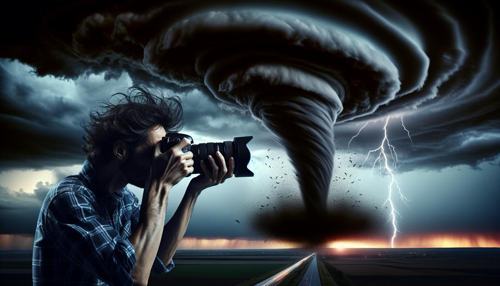
Let's explore how high-resolution cameras enhance our storm-chasing capabilities.
With their advanced sensors, these cameras provide unparalleled image clarity, allowing us to capture detailed meteorological phenomena.
Moreover, rapid data transmission guarantees that these high-quality images are quickly shared and analyzed in real-time, improving our predictive models.
Enhanced Image Clarity
High-definition cameras significantly enhance storm chasers' ability to capture detailed images, providing crucial data for analyzing storm structures and behaviors. With advanced technology, these cameras offer improved precision and high frame rates, allowing us to observe even the most fleeting cloud formations and lightning strikes. The clear visuals they produce help us obtain precise data on wind speeds, pressure changes, and precipitation patterns, which are vital for accurate weather modeling and forecasting.
The clarity and detail provided by these high-definition cameras mean we can identify specific features within storms, such as mesocyclones and wall clouds, with greater accuracy. This level of detail is crucial in understanding the dynamics of severe weather phenomena and enhancing our predictive models. By capturing high-quality images, we can track storm evolution in real-time, improving our situational awareness and decision-making capabilities.
Furthermore, the integration of advanced imaging sensors and stabilization systems guarantees that we capture stable, high-quality footage even under extreme conditions. This technology not only supports our research efforts but also assists in public safety by providing timely and precise storm updates. High-definition cameras, therefore, serve as a cornerstone in our toolkit, empowering us with the freedom to chase and study storms more effectively and safely.
Rapid Data Transmission
Speedy data transmission enables us to swiftly relay high-quality images and videos from the field to our analysis centers, ensuring that vital storm information is evaluated in near real-time. This capability greatly enhances our ability to issue real-time alerts and refine weather predictions.
With high-definition cameras, we capture detailed visuals of storm movement, allowing us to track its development and potential impact zones accurately.
Using advanced communication networks, we can transmit large data files swiftly, minimizing delays. This speed is essential for emergency response teams who rely on timely data to make informed decisions.
When storm chasers capture a rapidly intensifying tornado, for instance, the immediate transmission of high-quality footage can prompt faster, targeted evacuations.
Furthermore, integrating these high-definition cameras with GPS technology allows us to geo-tag images and videos, providing precise locational data that enhances situational awareness. This geo-tagging feature is invaluable when coordinating with local authorities and other agencies engaged in emergency response.
In essence, speedy data transmission not only empowers us to stay ahead of storm movement but also strengthens our overall capability to safeguard lives through timely and accurate storm monitoring.
Wind Speed Sensors
Wind speed sensors, vital for storm chasers, provide real-time data important for analyzing storm intensity and trajectory. By measuring wind velocity accurately, we can integrate this data with wind direction indicators to refine storm prediction models. These sensors offer detailed insights into wind patterns, which allow us to anticipate sudden changes in storm behavior and enhance our preparedness.
To complement wind speed sensors, we also rely on atmospheric pressure sensors. These devices measure the barometric pressure, giving us a more thorough understanding of the storm's dynamics. This data is essential for emergency response coordination, as it helps predict the storm's path and potential impact zones. By combining wind speed, wind direction, and atmospheric pressure data, we create a robust framework for real-time monitoring.
Moreover, the use of wind speed sensors enables us to update our storm prediction models continuously, ensuring they remain accurate and reliable. These models are vital in forecasting storm development and guiding our movements in the field. They provide the freedom to make informed decisions swiftly, reducing risks while maximizing the effectiveness of our storm-chasing efforts.
Essentially, wind speed sensors are a cornerstone of our technological arsenal, empowering us with the data needed to navigate and understand storm systems effectively.
Data Analysis Software
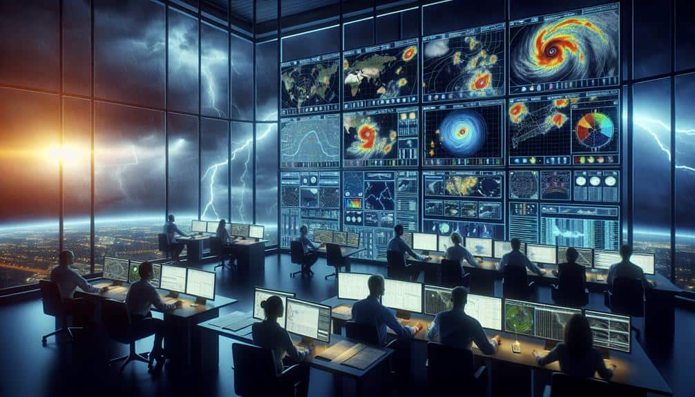
To make sense of the vast amounts of data collected by our wind speed and atmospheric pressure sensors, we utilize advanced data analysis software that processes and interprets this information in real-time. This software is crucial for storm chasers like us because it enables us to make informed decisions quickly and accurately.
Our data analysis software employs several sophisticated techniques, including:
- Predictive Modeling and Weather Forecasting: By using historical data and current sensor inputs, the software can predict the storm's path and intensity. This allows us to anticipate changes and adjust our strategies accordingly.
- Machine Learning and Pattern Recognition: The software utilizes machine learning algorithms to identify patterns in the data that may indicate severe weather conditions. This capability allows for more precise and timely warnings.
- Data Visualization Tools: These tools convert raw data into visual formats such as graphs and maps, making it easier to interpret complex information at a glance.
Frequently Asked Questions
How Do Storm Chasers Stay Safe During Extreme Weather Events?
We prioritize safety precautions and robust communication strategies. Our emergency response plans are meticulously crafted, and we guarantee our equipment maintenance is excellent. These measures help us navigate and stay safe during extreme weather events.
What Qualifications Are Required to Become a Storm Chaser?
To become storm chasers, we need education in meteorology, experience with severe weather, and training in safety protocols. Essential skills include data analysis, radar interpretation, and maneuvering through extreme conditions. This guarantees our freedom to chase safely and effectively.
How Do Storm Chasers Collaborate With Meteorological Agencies?
We collaborate with meteorological agencies through established communication techniques like radio frequencies and data-sharing platforms. These collaboration methods guarantee real-time updates, allowing us to provide accurate storm data and enhance collective forecasting efforts, securing everyone's safety and freedom.
What Are the Most Common Challenges Faced by Storm Chasers?
Did you know that nearly 25% of storm chasers report equipment reliability issues? We often face communication difficulties, especially in remote areas. Ensuring our tools work flawlessly and staying connected is essential for safety and data accuracy.
How Has Storm Chasing Technology Evolved Over the Past Decade?
Over the past decade, we've seen storm chasing technology evolve dramatically. Drone surveillance and satellite tracking now provide real-time data, enhancing our predictive accuracy and safety. These advancements empower us to chase storms with greater freedom and precision.