Mastering storm chasers communication in spotting networks depends on real-time data sharing, clear communication protocols, and advanced technology. We utilize high-definition satellite imagery, mobile applications with GPS tracking, and weather radar systems for precise storm tracking. Efficient radio protocols, such as channel allocation and phonetic alphabets, guarantee message clarity. Encryption and intrusion detection systems protect our network. Collaboration tools enhance our situational awareness and response times. This technical approach enhances storm chaser safety and optimizes emergency response. By incorporating these elements, we can refine our strategies and achieve superior coordination with emergency services for improved community safety.
Key Points
- Utilize high-resolution satellite imagery and weather radar for real-time storm tracking and data sharing.
- Implement standardized radio protocols and phonetic alphabets for clear and efficient communication.
- Leverage mobile apps for seamless GPS tracking, data logging, and route optimization.
- Use collaborative mapping tools to keep all team members updated with live storm paths and positions.
Importance of Clear Communication
Effective communication is important in storm spotting networks to guarantee precise data transmission and enhance safety measures. As storm chasers, our primary goal is to relay real-time information that aids in emergency response efforts and secures public safety.
When our team coordination is seamless, we can efficiently track and report severe weather phenomena. This precision in information sharing directly influences the effectiveness of emergency response strategies.
By maintaining clear and consistent communication, we reduce the risk of data misinterpretation, which can lead to delayed action or incorrect safety measures. When each member of our team knows their role and responsibilities, the flow of information becomes smoother, fostering a cohesive operational environment.
Our ability to provide timely updates to meteorological agencies and emergency services hinges on these well-established communication protocols.
Moreover, the clarity in our communication helps in disseminating critical information to the public, empowering individuals to make informed decisions about their safety.
As a team, we must continually refine our communication strategies to adapt to the dynamic nature of storm tracking. This ongoing improvement secures that our data isn't only accurate but also actionable, enhancing overall safety outcomes.
Essential Communication Tools
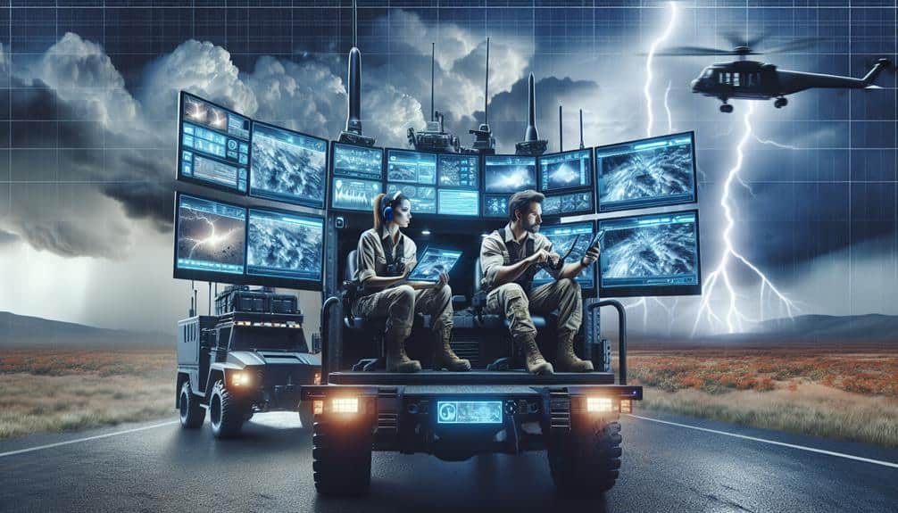
To assure our communication remains clear and reliable during storm tracking, we rely on a suite of advanced communication tools designed for real-time data sharing and coordination. These tools are crucial for accurate weather tracking and efficient emergency response.
Key among these tools are high-resolution satellite imagery systems. By providing real-time visuals of storm development and movement, satellite imagery allows us to track storms with precision. This data is essential for making informed decisions and coordinating our response efforts effectively.
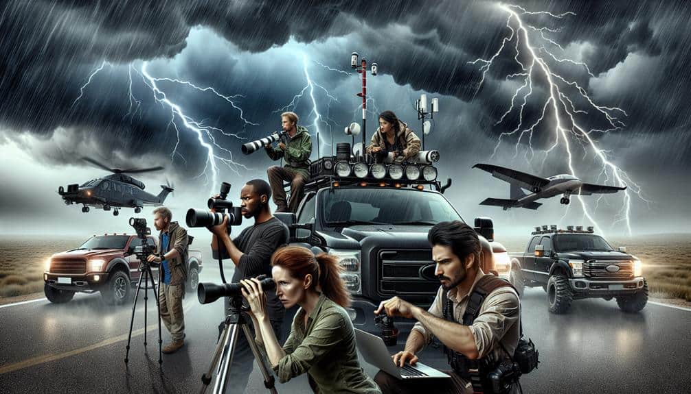
We also utilize a range of communication devices, including handheld radios, mobile phones, and satellite phones. These devices guarantee continuous communication, even in remote areas where traditional networks may fail.
Mobile apps designed for storm chasers integrate seamlessly with our other tools, offering GPS tracking and instant data sharing capabilities.
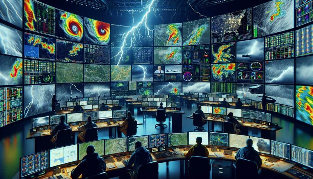
In addition, we deploy weather radar systems for localized weather monitoring. These systems provide detailed information on storm intensity, wind speeds, and precipitation levels, which is crucial for our on-the-ground teams.
Radio Protocols and Etiquette
In our storm chasing efforts, following radio protocols and etiquette guarantees efficient communication and safety.
We must prioritize effective channel usage to avoid congestion and guarantee clear message transmission, minimizing the risk of miscommunication.
Data shows that structured communication reduces response times and improves coordination during severe weather events.
Effective Channel Usage
Understanding radio protocols and maintaining proper etiquette are essential for ensuring clear and efficient communication within storm chaser spotting networks. Effective channel usage directly impacts our team coordination and our ability to mount a quick response. By adhering to established radio procedures, we can streamline our communications and reduce the risk of misunderstandings.
To maximize our radio efficiency, we need to focus on several key elements:
- Channel Allocation: Assign specific channels for different types of communication (e.g., tactical updates, emergency alerts, and general information) to minimize channel congestion and enhance clarity.
- Priority of Messages: Establish a hierarchy for message urgency. Critical information should always take precedence over routine updates, ensuring that urgent messages aren't delayed.
Clear Message Transmission
Clear message transmission depends on our strict adherence to radio protocols and etiquette, ensuring that every communication is both concise and unambiguous. When we follow standardized procedures, we minimize misunderstandings, thereby improving efficiency and enhancing safety.
For instance, using clear and consistent terminology when describing weather phenomena allows us to quickly convey vital information without ambiguity.
We start each transmission with a clear identifier, stating our call sign and location. This practice not only establishes who's speaking but also situates our observations geographically. We avoid filler words and keep messages short, focusing on the data that matters most.
For example, instead of saying, “I see a pretty big cloud,” we say, “Large cumulonimbus at 5 o'clock, moving northeast.”
Another significant aspect is the use of phonetic alphabets for clarity in noisy or chaotic environments. This reduces errors in transmitting coordinates or other critical data. Additionally, we observe radio silence protocols during high-priority transmissions, ensuring that urgent information gets through without interference.
Utilizing Mobile Technology
Leveraging mobile technology allows storm chasers to relay real-time data and coordinate more efficiently within spotting networks. Mobile app integration is important as it enables us to use centralized platforms for sharing observations, weather data, and alerts. These apps often include advanced GPS tracking accuracy, making sure our precise location is constantly updated and shared with the network.
By adopting state-of-the-art mobile solutions, we can greatly enhance our operational efficiency. This integration offers several benefits:
- Instantaneous Data Logging: Mobile apps allow us to record observations with timestamps and geotags instantly.
- Enhanced GPS Tracking: High-accuracy GPS ensures we can pinpoint and share our exact locations, essential for effective coordination during storm chasing.
The precision and reliability of these mobile technologies empower us to make informed decisions on the fly. Additionally, integrating these tools into our workflow allows for seamless communication and rapid response times.
We can maintain our independence while making sure that our data is accurate and actionable, ultimately enhancing the overall effectiveness of our storm-chasing missions.
Real-Time Data Sharing

In our storm spotting networks, real-time data sharing is essential for providing instant weather updates and ensuring efficient alert systems.
By integrating collaborative mapping tools, we can enhance our ability to track storm patterns and coordinate responses.
This synergy allows us to make data-driven decisions quickly and accurately, improving safety and situational awareness.
Instant Weather Updates
Storm chasers depend on instantaneous weather updates through real-time data sharing to make critical decisions during severe weather events. The immediacy of these updates is crucial for both weather forecasting and emergency response, enabling us to effectively navigate and respond to rapidly changing conditions.
Leveraging advanced communication strategies and robust network coordination, we make certain that data flows seamlessly among team members and partners.
Our approach to real-time data sharing includes several key practices:
- Utilizing high-frequency radar and satellite feeds: These provide us with minute-by-minute updates on storm evolution and intensity.
- Deploying mobile weather stations: These units gather localized data, offering precise insights that stationary systems may miss.
Efficient Alert Systems
To further improve our real-time data sharing capabilities, we implement efficient alert systems that promptly notify us of critical weather developments. Our emergency response depends on the reliability and speed of these systems, which leverage automated notifications to guarantee that every team member receives updates simultaneously and without delay.
By integrating advanced meteorological sensors and data analytics, we can automatically detect potential hazards like tornadoes, severe thunderstorms, and flash floods. These systems use machine learning algorithms to analyze incoming data in real-time, reducing the latency between detection and notification. This way, we can react swiftly and effectively, mobilizing resources where they're needed most.
Moreover, our automated notifications are customizable, allowing us to set parameters based on specific weather conditions and geographical regions. This granularity ensures that we only receive relevant alerts, minimizing information overload and enhancing decision-making efficiency.
For example, if a tornado forms within a defined radius, the system triggers an immediate alert, prompting us to take necessary action.
Collaborative Mapping Tools
We use collaborative mapping tools to facilitate real-time data sharing, enhancing our situational awareness and coordination during severe weather events. By leveraging advanced technologies, we can achieve precise live tracking and interactive mapping, which are essential for effective storm chasing. These tools allow us to collaborate seamlessly, making informed decisions quickly.
Our approach includes several key features:
- Interactive Mapping: We use dynamic maps that update in real time, providing a visual representation of storm paths, chaser locations, and potential hazards.
- Live Tracking: GPS-enabled devices ensure that each team member's position is constantly updated, allowing us to monitor movements and adjust strategies on-the-fly.
Real-time updates are crucial for maintaining accuracy and responsiveness. As the storm evolves, our systems ensure that all participants are working with the most current information. This minimizes risks and maximizes our ability to capture critical data.
The integration of these tools into our operations not only enhances safety but also empowers us to conduct more thorough and effective storm observations. By prioritizing technical precision and data-driven methodologies, we uphold the principles of freedom and efficiency that are vital to our mission.
Coordinating With Emergency Services
Effectively coordinating with emergency services relies on real-time data exchange and clear communication protocols. Our ability to provide timely and accurate storm data is essential for emergency response and community coordination. We integrate advanced meteorological tools with GPS technology to guarantee that first responders receive precise, actionable information. This data-driven approach optimizes the efficiency of emergency services, reducing response times and enhancing overall public safety.
In high-stakes situations, our network connects seamlessly with emergency dispatch centers, facilitating immediate data relay. We employ encrypted communication channels to guarantee the integrity and confidentiality of shared information. By doing so, we not only support first responders but also empower communities through volunteer support, creating a robust, interconnected safety net.
To maintain operational effectiveness, we've established standardized protocols for data verification and dissemination. These protocols include real-time alerts, detailed weather reports, and dynamic mapping interfaces. Our commitment to technical precision ensures that every piece of data we share is both reliable and essential for emergency services.
Maintaining Network Security

Maintaining the integrity and confidentiality of our communication channels is paramount for guaranteeing that emergency services receive accurate and timely data. To achieve this, we must implement robust cybersecurity measures and encryption protocols. By doing so, we protect our network from unauthorized access and safeguard the sensitive information transmitted by storm chasers.
Our approach to upholding network security involves three key strategies:
- Encryption Protocols: Utilizing advanced encryption protocols guarantees that all data exchanged within the network remains confidential. This prevents eavesdroppers from intercepting and tampering with critical information.
- Intrusion Detection: Deploying sophisticated intrusion detection systems allows us to monitor network traffic continuously. These systems can identify potential threats in real-time, enabling us to respond swiftly and mitigate risks.
Frequently Asked Questions
How Do Storm Chasers Keep Track of Their Own Safety During Severe Weather Events?
We adhere to strict safety protocols and emergency procedures to track our safety during severe weather events. We rely on real-time data, advanced technology, and continuous communication to guarantee we remain aware of changing conditions.
What Training Is Required to Become an Effective Storm Spotter in a Network?
Coincidentally, our journey to becoming effective storm spotters begins with mastering spotting techniques and safety protocols. We undergo intensive weather training and develop strong communication skills, ensuring we can relay accurate data while staying safe during severe weather events.
How Do Storm Chasers Handle Miscommunication During a Critical Situation?
When miscommunication arises, we immediately implement emergency protocols and leverage our crisis management strategies. Data-driven decision-making and real-time adjustments guarantee we maintain operational integrity and safeguard both our team and the public during critical situations.
What Are the Common Challenges Faced While Communicating in Remote Areas?
In remote areas, we face challenges like weak signal strength and terrain obstacles. Effective team coordination and adherence to emergency protocols are essential to overcoming these issues, ensuring seamless communication and operational freedom in critical situations.
How Do Storm Chasers Verify the Accuracy of Their Weather Observations?
We've got our work cut out for us when it comes to confirming weather observations. We use data validation techniques and cross-check reports with multiple sources. Observation verification guarantees accuracy, giving us the freedom to rely on our findings.


