For the best storm chasers live tracking services, we recommend RadarScope and Storm Shield. RadarScope provides professional-grade, dual-polarization radar data and highly customizable displays, ideal for storm chasing tours. Storm Shield offers severe weather alerts and a user-friendly interface for quick data access. Both apps use real-time weather data, high-resolution satellite images, and interactive radar maps to enhance situational awareness. Mobile compatibility guarantees continuous coverage, while community features support collaborative tracking and data sharing. Learn how these tools integrate advanced technology to help storm chasers make swift, informed decisions by exploring further.
Key Points
- RadarScope offers professional-grade radar data and customizable radar displays for storm chasing.
- Storm Shield provides severe weather alerts and real-time tracking with a user-friendly interface.
- High-resolution satellite images and real-time severe alerts enhance immediate atmospheric condition analysis.
- Mobile compatibility with high-accuracy GPS and offline capabilities ensures real-time tracking in any location.
Top Storm Spotting Apps
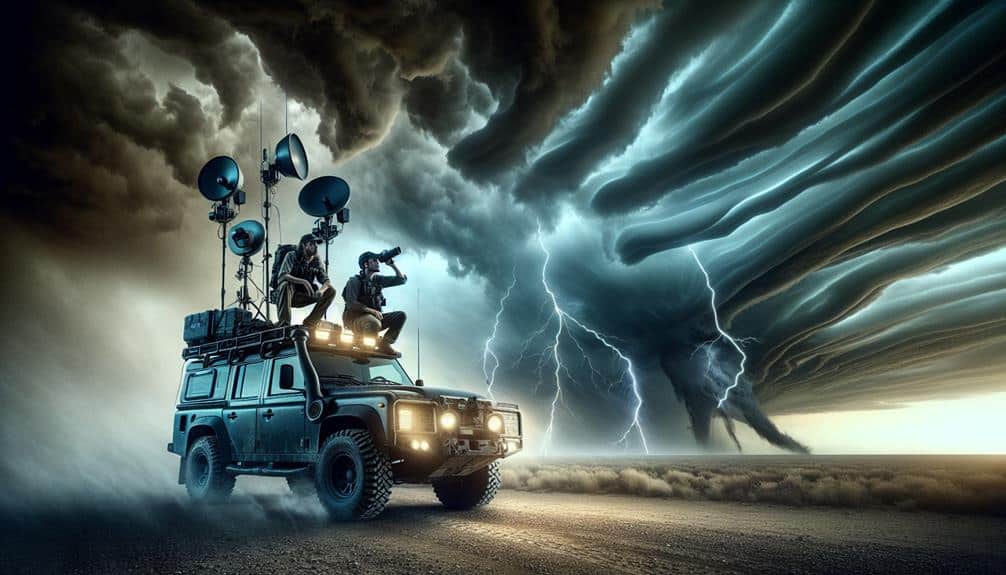
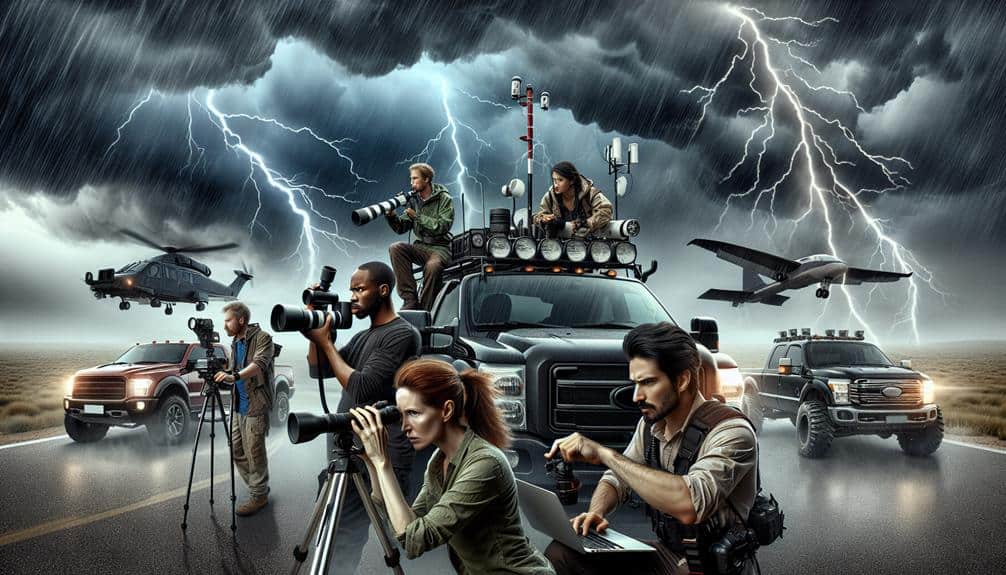
When it comes to storm tracking, we've identified several top storm spotting apps that leverage advanced meteorological data and real-time analytics to provide precise and timely updates. These apps are essential tools for storm chasers seeking the thrill of documenting extreme weather events while guaranteeing their safety.
By utilizing high-resolution radar imagery, these apps offer detailed storm cell information, including velocity, precipitation intensity, and tornado potential.
One standout app is RadarScope, renowned for its professional-grade radar data. It supports storm chasing tours by offering customizable radar displays, allowing us to pinpoint storm locations with unparalleled accuracy. The app's dual-polarization radar capabilities enable us to capture stunning extreme weather footage, showcasing phenomena like hail cores and debris signatures.
Another essential app is Storm Shield, which provides severe weather alerts and real-time storm tracking. Its integrated GPS functionality guarantees we're always aware of our proximity to adverse weather conditions. Moreover, the app's user-friendly interface allows us to quickly access critical data without distraction.
Real-Time Weather Data
Access to real-time weather data is necessary for storm chasers, as it enables us to analyze immediate atmospheric conditions and make informed decisions during severe weather events. By leveraging advanced satellite imagery, we can observe cloud formations, track storm development, and identify potential areas of severe weather. High-resolution satellite images provide us with the needed data to pinpoint the exact locations of storm cells and their movements.
Furthermore, real-time severe alerts play a pivotal role in our operations. These alerts, generated by meteorological agencies, offer timely warnings about tornadoes, hail, and other hazardous phenomena. This instantaneous data enables us to adjust our routes and strategies dynamically, ensuring we're in the right place at the right time while maintaining safety.
Another essential component is the integration of atmospheric data such as wind speed, humidity, and barometric pressure. Accessing this information in real-time allows us to predict storm intensification and potential paths with greater accuracy. Combining these data points helps us to build a thorough understanding of the storm environment, which is crucial for making split-second decisions in the field.
Essentially, real-time weather data transforms our storm-chasing endeavors into precise, informed operations.
Interactive Radar Maps
Interactive radar maps provide us with a dynamic, real-time visualization of precipitation patterns and storm structures, enhancing our ability to track severe weather with pinpoint accuracy. Utilizing advanced Doppler radar technology, these maps enable us to monitor storm intensity, movement, and potential threats. The integration of storm prediction algorithms with lightning strikes data allows for immediate identification of high-risk zones.
By leveraging these interactive tools, we can enhance our situational awareness during severe weather events. Tornado warnings become more precise as we analyze rotation signatures within supercell thunderstorms. Hail detection is improved by identifying the specific reflectivity values associated with ice particles within the storm core. These capabilities empower us to make informed decisions and take timely actions, potentially saving lives and property.
Moreover, the ability to overlay various data layers, such as temperature gradients and wind velocities, provides a thorough understanding of the storm environment. This multi-faceted approach to storm tracking is particularly invaluable for storm chasers and meteorologists seeking to predict storm evolution and intensity.
Ultimately, interactive radar maps are indispensable tools for those of us committed to storm prediction and severe weather tracking. They offer the precision and detail necessary to navigate the complexities of Mother Nature's fiercest phenomena.
Mobile Compatibility
As we use these advanced interactive radar maps, guaranteeing mobile compatibility becomes paramount to uphold real-time tracking capabilities on-the-go. Our ability to seamlessly switch between desktop and mobile platforms depends on the app features provided by these services. Robust mobile applications enhance our storm chasing endeavors by offering instant updates and high-definition radar imagery. This level of mobile integration is essential for capturing live data regardless of our geographical location.
One of the most vital components is location accuracy. High-accuracy GPS technology within these apps ensures that our current position is precisely mapped against storm paths, maximizing our situational awareness and safety. Metrics such as update frequency, latency, and geospatial resolution are crucial to maintaining this accuracy. For example, apps that update every few seconds can make a significant difference when tracking rapidly changing storm systems.
Moreover, the best mobile-friendly tracking services offer user-friendly interfaces, customizable alerts, and offline capabilities. These app features guarantee that we stay informed even in areas with limited connectivity. By utilizing these advanced functionalities, we maintain the freedom to chase storms effectively, armed with the most precise and timely data available.
User Community Features

Storm chasers benefit greatly from user community features that support real-time data sharing, collaborative tracking, and collective analysis. These features not only enhance user engagement but also provide crucial community support. By leveraging live updates, we can access the latest meteorological data and storm chaser stories, which are invaluable for both safety and scientific purposes.
Platforms incorporating user community features, such as real-time chat rooms and forums, enable us to coordinate and share observations instantly. This level of interaction helps in refining predictive models and improving response strategies. The high level of user engagement ensures that data is continuously updated by an active community, making our tracking efforts more accurate and timely.
Furthermore, the inclusion of storm chaser stories provides qualitative insights that supplement quantitative data. These narratives offer context to the raw data, allowing for a more thorough understanding of storm behavior. Community support features, such as peer reviews and collaborative mapping, further enhance our ability to analyze and react to storm developments effectively.
Frequently Asked Questions
Are There Any Free Storm Chasing Live Tracking Services Available?
We've found free options for storm chasing live tracking, like RadarScope and StormTracker. They provide real-time updates but limited historical data. For thorough features, alternative paid services offer advanced tracking and extensive historical data analysis.
How Accurate Are the Predictions Made by Storm Chaser Tracking Services?
We rely on real-time updates for prediction accuracy and enhanced user experience. Storm chaser tracking services offer high reliability through advanced algorithms and meteorological data. This guarantees freedom to make informed, safe decisions during severe weather events.
What Equipment Do Professional Storm Chasers Typically Use?
Some understand storm chasing's risky, but with Doppler radar and drones, now more accurate than ever. Our equipment includes anemometers, GPS, and mobile weather stations, ensuring we obtain precise data while preserving our freedom to explore.
Do Storm Chasing Services Offer Educational Resources for Beginners?
We've found that storm chasing services often provide extensive online resources and tutorials. They cover essential safety tips and strategies, ensuring we're well-prepared. These educational materials empower us with the knowledge to chase storms safely and effectively.
How Do Storm Chaser Tracking Services Ensure User Safety During Severe Weather Events?
We prioritize user safety by implementing rigorous safety protocols and providing real-time updates on severe weather events. Our data-driven approach guarantees that users stay informed and make decisions that maximize their freedom and security during storms.