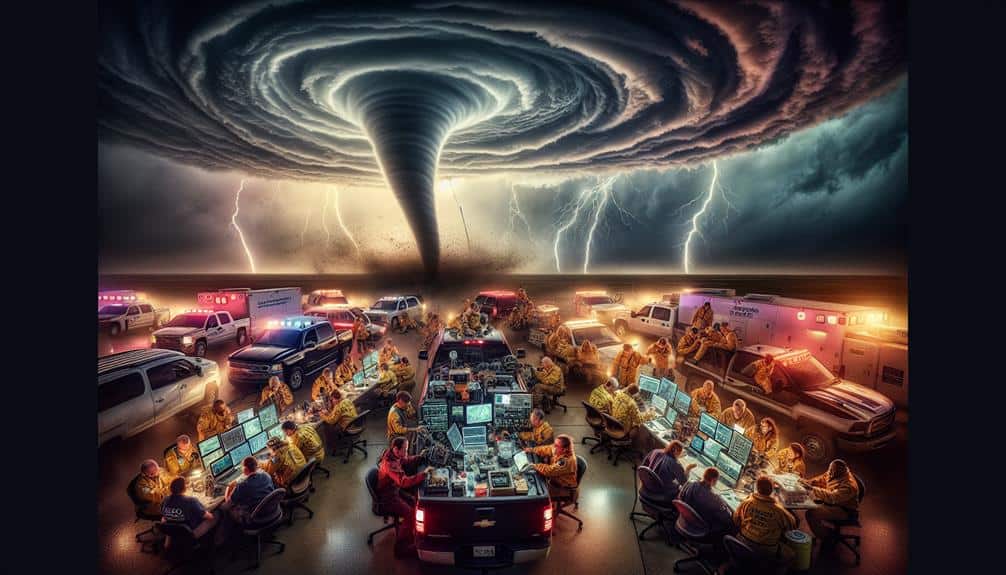
We utilize storm chasers to enhance disaster coordination by employing real-time weather tracking with advanced meteorological instruments. They improve early warning systems by delivering timely alerts based on precise data. Storm chasers collect, analyze, and validate pivotal data that informs predictive models. They provide on-ground situation reports using geolocation technology and advocate for public safety. Additionally, they coordinate with first responders, delivering real-time meteorological data for synchronized emergency responses. After storms, they conduct detailed damage assessments utilizing drone surveillance. These operational insights are invaluable for anyone interested in the intricacies of disaster management.
Key Points
- Provide real-time weather monitoring to track and predict severe weather developments.
- Enhance early warning systems with timely alerts and accurate storm data.
- Offer on-ground situation reports and advocate for public safety and disaster preparedness.
- Coordinate with first responders to improve situational awareness and response efficiency.
Real-Time Weather Tracking
By leveraging advanced meteorological instruments, we can track storm developments in real-time, providing critical data for effective disaster response. Our ability to monitor weather patterns as they unfold is a game-changer. Utilizing Doppler radar, satellite imagery, and ground-based sensors, we can pinpoint the exact location, intensity, and movement of severe weather systems. This real-time data allows us to predict potential impacts with unprecedented accuracy.
In the field of emergency response, having up-to-the-minute information is invaluable. It enables us to allocate resources more efficiently, prioritize areas that are most at risk, and mobilize first responders to critical locations swiftly. For instance, the precise tracking of a tornado's path can mean the difference between a timely evacuation and catastrophic loss.
We also use this data to analyze weather patterns over time, which helps in understanding the broader climatic shifts that may influence future storm activity. This proactive approach guarantees that emergency response plans aren't just reactive but also anticipatory.
Early Warning Systems
We utilize real-time data collection to improve early warning systems, enabling more accurate predictions of storm paths.
This data-driven approach allows us to provide timely alerts, greatly enhancing public safety.
Real-Time Data Collection
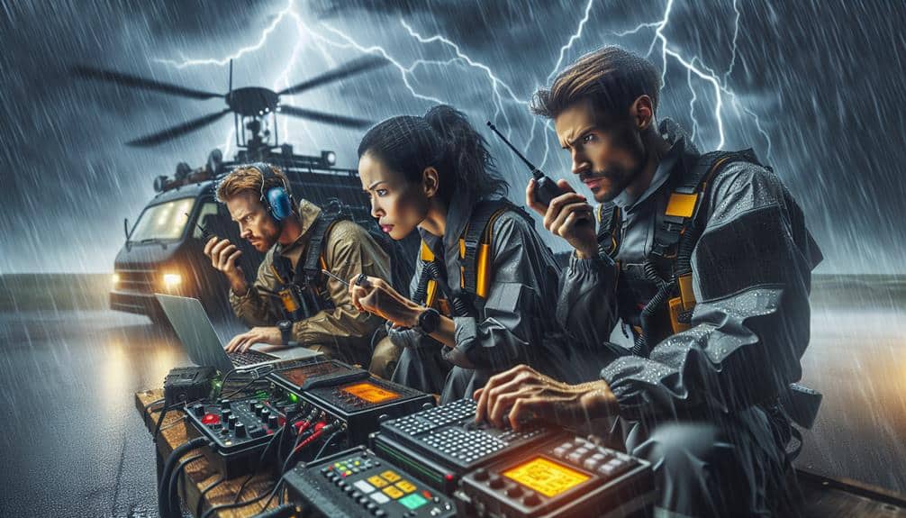
Leveraging advanced meteorological instruments, storm chasers collect real-time data essential for early warning systems. By utilizing tools like GPS-enabled anemometers, Doppler radar, and barometric pressure sensors, we guarantee data accuracy that's critical for timely disaster response.
This real-time information allows us to monitor storm intensities, wind speeds, and atmospheric pressure changes with high precision.
When we feed this accurate data into early warning systems, emergency management agencies can coordinate more effective disaster response strategies. The real-time nature of our data means that communities receive immediate alerts, giving them the flexibility to take necessary actions, such as evacuating or securing property. This rapid dissemination of information can save lives and reduce property damage.
Our on-the-ground observations complement satellite and radar data, filling in gaps that remote sensing technologies might miss. This enhances the overall precision and reliability of early warning systems. For instance, during a tornado outbreak, our real-time data helps pinpoint the exact locations of tornado formations, enabling localized warnings that are far more effective than broad alerts.
In essence, storm chasers are an invaluable asset in the field of disaster coordination, guaranteeing that early warning systems are both accurate and responsive, ultimately safeguarding communities and preserving their freedom to act.
Predicting Storm Paths
Armed with real-time data, we can accurately predict storm paths, allowing early warning systems to provide precise and timely alerts. Utilizing advanced meteorological models and algorithms, we analyze atmospheric conditions, wind patterns, and pressure systems. This data-driven approach enhances storm prediction accuracy, enabling us to forecast the trajectory and intensity of storms with remarkable precision.
When storm chasers collect and relay live data from the field, we integrate these observations into our predictive models. This real-time input refines our simulations, yielding more reliable forecasts. Accurate storm path predictions are critical for disaster response coordination, as they inform emergency management agencies and local authorities about potential impact zones.
With high storm prediction accuracy, we can optimize resource allocation and deploy first responders to areas likely to be affected. This proactive strategy minimizes risks and maximizes the efficacy of disaster response efforts. By leveraging cutting-edge technology and meticulous data analysis, we empower communities to make informed decisions and take timely preventive measures.
In essence, our ability to predict storm paths with precision not only advances scientific understanding but also fortifies societal resilience. This synergy between storm chasers and early warning systems is pivotal for safeguarding lives and property.
Enhancing Public Safety
Frequently, the integration of advanced early warning systems into public safety protocols allows us to save lives and reduce property damage through timely alerts and actionable information. By leveraging cutting-edge meteorological data and predictive analytics, we enable a more proactive approach to disaster preparedness and emergency response. These systems provide crucial lead times that permit communities to take necessary precautions, such as evacuations and securing properties.
Our efforts in community outreach play a critical role in enhancing public understanding of risk mitigation. We conduct workshops, distribute educational materials, and use social media to disseminate real-time updates. This empowers individuals to make informed decisions under imminent threat conditions. Additionally, the accuracy of these early warning systems greatly reduces the uncertainty associated with severe weather events, fostering a sense of security and freedom.
In the field of emergency response, our integration of early warning systems streamlines coordination between various agencies. This ensures that resources are deployed efficiently and that first responders are adequately prepared. The seamless communication facilitated by these systems not only enhances operational effectiveness but also bolsters public trust in our disaster management capabilities.
Through these collaborative and data-driven efforts, we continually work to fortify our communities against the unpredictable forces of nature.
Data Collection and Analysis

We collect real-time weather data to enhance our predictive models, ensuring more accurate storm forecasts.
By integrating this data, we improve the precision of disaster coordination efforts.
Our analyses enable timely decision-making and resource allocation.
Real-time Weather Monitoring
In real-time weather monitoring, storm chasers utilize advanced meteorological instruments to collect and analyze vital atmospheric data. We deploy an array of tools, including Doppler radar, anemometers, and barometers, to capture real-time readings of wind speed, atmospheric pressure, and humidity levels. This data is essential for informing emergency response teams about the severity and trajectory of a storm.
Our ability to provide up-to-the-minute information helps emergency response units make timely decisions, ensuring that resources are allocated efficiently. For instance, knowing the exact path of a tornado can enable local authorities to issue precise evacuation orders, thereby minimizing casualties and property damage.
Moreover, the data we gather directly supports disaster relief efforts. Immediate, accurate readings allow relief agencies to anticipate the storm's impact and prepare accordingly. This proactive approach significantly boosts the effectiveness of disaster relief operations, ensuring that aid reaches affected areas swiftly and efficiently.
Predictive Model Enhancements
Harnessing the power of advanced algorithms and machine learning, we enhance our predictive models by integrating real-time data from multiple sources. By doing so, we achieve unprecedented levels of accuracy improvement in data, which is crucial for reliable forecasts.
Our storm chasers gather ground-level observations, which we merge with satellite imagery and radar data. This multi-faceted approach ensures our models are robust and all-encompassing.
Model validation plays a pivotal role in maintaining the integrity of our predictions. We use cross-validation and ensemble methods to guarantee our models can generalize well to unseen data. This rigorous validation process reduces the margin of error, thereby increasing the reliability of our forecasts.
Effective predictive models are essential for disaster response optimization. With accurate and timely forecasts, emergency management can be fine-tuned to allocate resources more efficiently and evacuate vulnerable populations promptly. Our efforts directly lead to saving lives and reducing economic losses during severe weather events.
On-Ground Situation Reports
Storm chasers provide real-time, on-ground situation reports that are important for accurate disaster response and coordination. By utilizing advanced meteorological instruments and leveraging geolocation technology, we can deliver precise data regarding storm trajectories, intensity, and immediate impacts. This information is essential for emergency management teams to make informed decisions quickly, enabling swift and effective responses to evolving weather conditions.
Community engagement is a pivotal aspect of our work. By directly interacting with affected populations and local authorities, we can facilitate the rapid dissemination of crucial information. This not only enhances disaster response but also fosters resilience within the community. Our presence on the ground serves as a bridge between scientific data and practical, actionable insights.
Citizen involvement in our operations amplifies the effectiveness of emergency management. Volunteers equipped with basic meteorological tools contribute valuable observations that complement our professional assessments. This collaborative approach ensures a detailed understanding of the situation, allowing for more adaptive and immediate interventions.
Public Safety Advocacy
Our commitment extends beyond data collection to actively advocating for public safety initiatives that mitigate the dangers posed by severe weather events. We utilize our firsthand experiences and scientific expertise to engage in community outreach programs.
By educating the public about disaster preparedness, we empower individuals to make informed decisions that enhance their personal safety and resilience.
We focus on disseminating accurate, real-time information through various platforms, ensuring communities are well-informed about imminent weather threats. This proactive approach includes workshops, seminars, and public demonstrations, which are designed to foster a deeper understanding of meteorological phenomena and their potential impacts.
Furthermore, we collaborate with local organizations to develop detailed disaster preparedness plans. These plans are backed by empirical data and tailored to address specific regional vulnerabilities.
Our goal is to create a culture of preparedness that minimizes the adverse effects of severe weather events on both human lives and property.
Coordination With First Responders
We collaborate closely with first responders to integrate real-time meteorological data into their emergency response protocols. Our collaboration efforts enhance situational awareness and enable timely, data-driven decisions. By leveraging mobile radar units and advanced GPS systems, we provide accurate storm trajectory forecasts that are critical for emergency response teams.
Our data streams are synchronized with emergency dispatch centers, guaranteeing that updates about storm intensity, direction, and potential impact zones are communicated instantly. This real-time information allows first responders to allocate resources more efficiently, execute evacuations, and implement safety measures with precision.
During severe weather events, our collaboration efforts extend to setting up joint operation centers. Here, our meteorological expertise complements the tactical skills of first responders, creating a cohesive, streamlined disaster response framework. We utilize predictive modeling to simulate various storm scenarios, enabling first responders to anticipate challenges and devise contingency plans.
Additionally, we conduct regular training sessions to familiarize emergency personnel with the latest storm-tracking technologies and data interpretation methods. This empowers them to act autonomously when necessary, fostering a resilient and adaptive emergency response system. Our goal is to guarantee that our collaboration efforts not only mitigate immediate risks but also contribute to long-term community resilience.
Post-Storm Damage Assessment
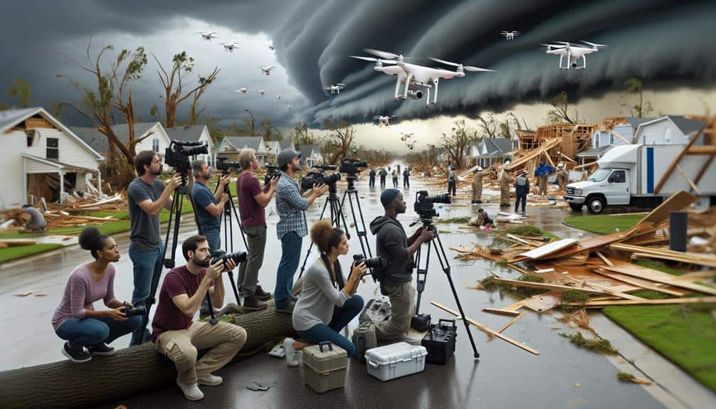
After the storm calms down, we promptly deploy advanced aerial and ground-based technologies to conduct thorough damage assessments. Utilizing drone surveillance, we can capture high-resolution images and real-time video footage of the affected areas, enabling us to analyze the extent of the damage with precision. This data is critical for coordinating disaster response and resource allocation efficiently.
Drone surveillance offers several advantages:
- Rapid Coverage: Drones can survey large areas quickly, providing a detailed overview of the damage within hours.
- High Accuracy: The high-resolution imagery allows us to identify specific damage points, such as compromised infrastructure or blocked roads.
We also employ ground-based technologies to complement aerial assessments. Ground teams equipped with handheld devices gather detailed information on structural integrity, utility outages, and hazardous materials. This dual approach ensures we have a thorough understanding of the post-storm landscape, enabling us to prioritize areas needing urgent attention.
Frequently Asked Questions
How Do Storm Chasers Prepare for a Storm Chase?
To prepare for a storm chase, we prioritize safety precautions and equipment readiness. We leverage our meteorological knowledge for precise route planning. Our data-driven approach guarantees we're informed, agile, and ready to seize the freedom of the chase.
What Kind of Vehicles Do Storm Chasers Typically Use?
Imagine the thrill as we gear up! We usually deploy vehicles with robust off-road capabilities and specialized equipment, ensuring precise data collection amid chaos. These vehicles grant us the freedom to traverse treacherous terrains and capture critical storm data.
Are There Any Specific Qualifications Needed to Become a Storm Chaser?
To become storm chasers, we must meet specific training requirements and have necessary equipment. Meteorology courses, safety training, and advanced forecasting skills are essential. We also need specialized vehicles, radars, and communication tools for effective storm tracking and analysis.
How Do Storm Chasers Fund Their Expeditions?
While the thrill of storm chasing isn't free, our funding sources include equipment grants, sponsorship, and donations. Balancing personal passion with financial backing guarantees we can pursue crucial data collection while maintaining our freedom to explore.
What Are the Biggest Risks Storm Chasers Face During Their Missions?
We face significant risks such as equipment dangers from debris and malfunctions, and extreme conditions including high winds, lightning, and flash floods. These hazards demand precise planning and real-time data analysis to guarantee our safety and freedom.