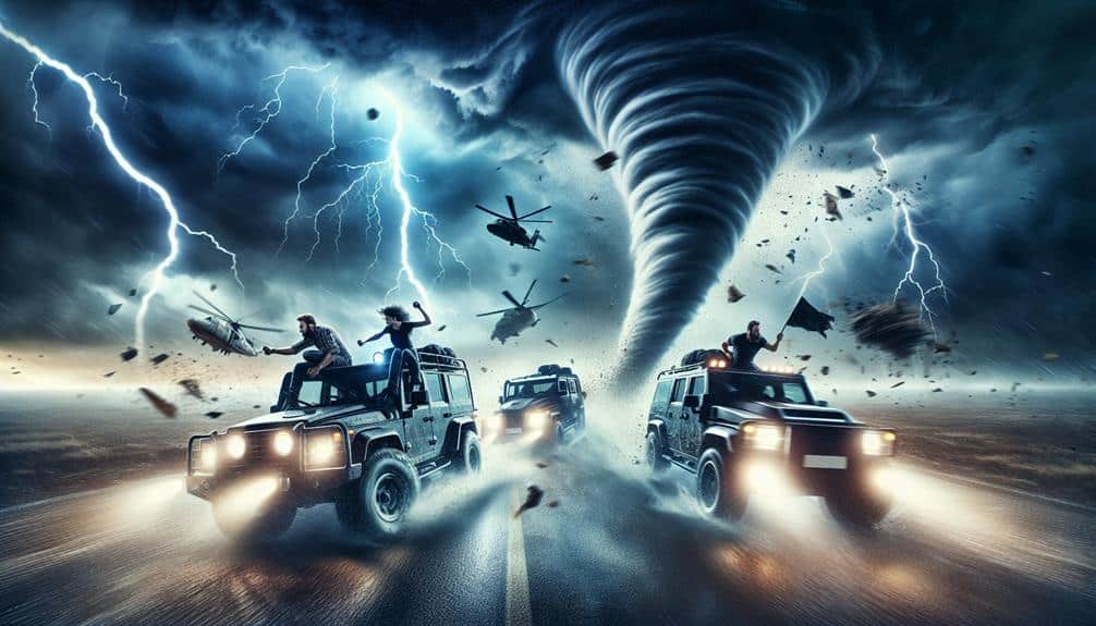
When planning storm chasing expeditions, we start by selecting a team with expertise in radar data interpretation and storm experience. We analyze atmospheric dynamics using synoptic charts, satellite imagery, and numerical weather prediction models. Essential gear includes Doppler radar, anemometers, GPS systems, and protective clothing. Safety remains paramount by tracking storm developments with advanced tools and being equipped with emergency supplies. Best route planning involves meteorological data assessment, emergency procedures, and local road network knowledge. Filming requires high-resolution cameras and drones. Post-expedition, we review data to refine our strategies. Explore our detailed guide for a thorough understanding.
Key Points
- Form a diverse team with expertise in radar data interpretation and storm chasing experience.
- Utilize Doppler radar, satellite imagery, and weather models for accurate storm prediction.
- Equip with protective gear, communication tools, GPS systems, and emergency supplies for safety.
- Plan routes using local road networks, meteorological data, and prepare for tornadoes and flash flooding.
Choosing the Right Team
Selecting the best storm chasing team involves evaluating each member's expertise, experience, and ability to operate advanced meteorological equipment under high-pressure conditions. We need a well-rounded team where every individual excels in their specific role. Team dynamics are pivotal; our members must communicate effectively, maintain composure, and support each other in the heat of the moment.
When it comes to leadership styles, we lean towards adaptive leaders who can make quick, informed decisions while considering input from all team members. This flexibility guarantees we remain responsive to sudden changes in weather conditions. Our leader must foster an environment of mutual respect and collaboration, empowering us to perform at our best.
Technical proficiency is essential. Each team member should be adept at interpreting radar data, deploying weather balloons, and using GPS systems to navigate safely. Experience in storm chasing adds another layer of competence, allowing us to anticipate potential hazards and avoid unnecessary risks.
Researching Weather Patterns
Understanding the complexities of weather patterns is essential for predicting and maneuvering severe storms effectively. We must explore atmospheric dynamics, analyze historical data, and utilize advanced weather forecasting models. By studying synoptic charts, we can identify pressure systems, fronts, and other meteorological phenomena that influence storm development. This knowledge helps us anticipate storm initiation and track storm cells with greater accuracy.
Advanced storm prediction hinges on interpreting data from satellite imagery, Doppler radar, and ground-based weather stations. These tools provide real-time information on temperature gradients, humidity levels, wind shear, and other critical variables. For instance, understanding the vertical wind shear can indicate the potential for supercell formation, which is often associated with severe weather events like tornadoes.
We also rely on numerical weather prediction (NWP) models, which simulate atmospheric conditions using mathematical algorithms. By comparing multiple models—such as the Global Forecast System (GFS) and the European Centre for Medium-Range Weather Forecasts (ECMWF)—we can cross-reference predictions to enhance our storm prediction capabilities. This multi-faceted approach empowers us to make informed decisions, allowing us to chase storms with precision and safety, embracing the freedom of the open skies while mitigating risks.
Essential Gear and Equipment
Let's equip ourselves with critical tools for storm chasing.
Starting with advanced weather tracking devices to monitor storm activities in real-time.
We also need protective clothing designed to withstand severe weather conditions.
As well as communication tools to stay connected with our team and emergency services.
These components are essential for both safety and data collection during our expeditions.
Weather Tracking Devices
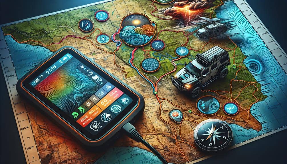
For effective storm chasing, we rely on advanced weather tracking devices like Doppler radar, anemometers, and GPS-equipped systems to provide real-time data and precise measurements. These tools enable us to make informed decisions, ensuring our safety and maximizing our chances of engaging with severe weather phenomena.
Using GPS locators and radar technology, we can pinpoint our exact location relative to the storm, giving us a strategic advantage in storm prediction. The precision offered by GPS locators allows for accurate storm path forecasting, ensuring we're always positioned optimally.
Satellite imagery provides us with a broad view of weather systems, capturing data that helps in tracking storm development over large areas. This technology complements ground-based radar, giving a detailed picture of atmospheric conditions.
- Doppler radar: Measures wind velocity and precipitation, essential for identifying rotation and potential tornado formation.
- Anemometers: Gauge wind speed and direction, vital for understanding storm dynamics and potential severity.
Protective Clothing Essentials
Proper protective clothing is essential for storm chasers, ensuring our safety against harsh weather conditions and potential hazards. As we venture into unpredictable environments, layering our clothing becomes essential. The base layer should wick moisture away from our skin to maintain thermal stability.
A mid-layer, such as fleece, provides insulation, while the outer layer, typically a waterproof and wind-resistant shell, shields us from rain and debris.
Footwear is another crucial component. Durable, waterproof boots with non-slip soles offer stability and protect our feet from sharp objects and slippery surfaces. High ankle support can prevent injuries when traversing rough terrain.
Protective eyewear is indispensable for safeguarding our vision from flying debris and the intense glare of lightning strikes. High-impact polycarbonate lenses are recommended due to their durability and clarity. Additionally, polarized lenses can reduce glare, enhancing our visibility during critical moments.
Gloves serve dual purposes: protecting our hands from abrasions and maintaining dexterity in cold conditions. Insulated, water-resistant gloves with reinforced palms are ideal for handling equipment and moving through debris.
Communication Tools Needed
Effective communication is paramount in storm chasing, requiring a suite of reliable tools and equipment to guarantee constant contact and data sharing among team members. These tools not only enhance our operational efficiency but also safeguard our safety in unpredictable environments.
First and foremost, we need satellite phones. Unlike regular cell phones, satellite phones provide robust connectivity even in remote areas where cell towers are non-existent. They become indispensable during severe weather conditions when traditional networks fail.
To maintain real-time GPS tracking, we rely on dedicated GPS devices. These allow us to monitor our precise location and the positions of our team members, facilitating coordinated movements and quick decision-making. Additionally, constant GPS tracking helps emergency contacts locate us swiftly if we encounter any trouble.
For short-range communication, walkie talkies are essential. These devices allow instant communication between team members without relying on external networks. They're particularly useful for coordinating actions while on the move or when visual contact is lost due to heavy rain or debris.
In summary, our communication toolkit must include:
- Satellite phones for reliable, long-range connectivity.
- GPS tracking devices for precise location monitoring.
Safety Precautions
When planning storm chasing expeditions, we must prioritize safety by equipping ourselves with essential safety gear such as helmets, first aid kits, and emergency communication devices.
Utilizing advanced weather monitoring tools, including radar systems and mobile weather apps, allows us to track storm developments in real-time. These precautions notably reduce risk and enhance our ability to make data-driven decisions during the chase.
Essential Safety Gear
Equipping ourselves with essential safety gear, such as reinforced helmets and high-visibility vests, is crucial to mitigate the risks associated with storm chasing. The dynamic and unpredictable nature of severe weather events demands a thorough approach to personal safety. By integrating robust safety measures, we can focus on the exhilarating pursuit of storms while minimizing potential hazards.
To make sure we're well-prepared, our gear must include:
- Emergency supplies: Stocking our vehicles with non-perishable food, water, and multi-tools guarantees we can handle unexpected situations. A reliable emergency kit enhances our resilience when isolated.
- First aid: A well-maintained first aid kit, complete with bandages, antiseptics, and pain relievers, is indispensable. Immediate access to medical supplies can make a critical difference during an emergency.
Our commitment to safety is underscored by the selection of scientifically validated equipment. Adopting these technical measures empowers us to chase storms with confidence and freedom, knowing we've minimized risks as effectively as possible.
Let's embrace the adventure responsibly and prioritize our well-being.
Weather Monitoring Tools
Accurate weather monitoring tools are our first line of defense, enabling us to navigate and predict severe weather patterns with precision. Utilizing advanced radar technology and satellite imagery, we can perform real-time storm prediction and data analysis to make informed decisions.
The Doppler radar, for instance, provides us with critical data on wind velocity and precipitation intensity, allowing us to track storm cells and predict their development. Satellite imagery enhances our ability to observe cloud formations and moisture levels over a vast area. These high-resolution images, updated frequently, give us a comprehensive view of atmospheric conditions.
By integrating data from multiple sources, we can form a more thorough picture of potential storm paths and intensities. To ensure safety during our expeditions, we rely on mobile weather stations equipped with anemometers, barometers, and hygrometers. These instruments deliver real-time environmental readings, aiding in our on-the-fly data analysis and decision-making.
Additionally, weather apps and GPS technology keep us connected to the latest updates and allow us to adjust our routes as needed.
Route Planning
For effective route planning, we must analyze real-time meteorological data and storm models to predict the most likely storm paths. This involves integrating high-definition weather radar, satellite imagery, and numerical weather prediction models. By doing so, we can optimize our approach and guarantee we stay within safe proximity to the storm.
We need to be prepared for any unforeseen circumstances. This means having well-defined emergency procedures and identifying alternative routes in case our primary path becomes hazardous. Knowing the local road network and monitoring updates on road closures and evacuation plans is essential for maintaining our mobility and safety.
To visualize our strategy, consider the following scenarios:
- A sudden tornado touchdown: We'll need to quickly navigate to a nearby shelter or safe zone.
- Flash flooding: Recognizing low-lying areas prone to flooding allows us to avoid these regions in advance.
Filming Techniques
When capturing storm phenomena, we must utilize high-resolution cameras and advanced stabilization equipment to ensure clear and detailed footage despite the challenging conditions. Our primary focus should be on utilizing lighting techniques to adapt to the constantly changing light conditions. This involves adjusting the camera's ISO settings and using neutral density filters to manage exposure levels effectively.
For capturing action shots, high frame rates are essential to deliver smooth and crisp visuals, even in the most turbulent scenarios.
Drone footage offers unparalleled perspectives, allowing us to document the storm's structure and movement from angles that ground-based cameras can't achieve. We should guarantee our drones are equipped with gimbal stabilizers to minimize motion blur, and always have backup batteries ready, given the power demands of storm conditions.
Post-capture, editing tips such as color grading can enhance the dramatic impact of our footage. Adjusting contrast and saturation levels can bring out the storm's intensity. Additionally, software stabilization can further refine our shots, providing a polished final product.
Post-Expedition Review

Following the expedition, we must carefully analyze the collected data and footage to evaluate the success of our storm chasing mission. By examining various metrics, we can derive lessons learned and identify improvements made during our chase. This analysis not only validates our efforts but also enhances our future plans.
We start with a detailed data analysis, focusing on:
- Wind Speed Measurements: Comparing recorded values with predicted models to assess accuracy.
- Footage Quality: Evaluating camera angles and resolution to make sure essential moments are well-documented.
With these insights, we can make data-driven decisions on equipment upgrades, route selection, and safety protocols.
Each aspect of our review is vital for refining our strategies and pushing the boundaries of storm chasing.
Frequently Asked Questions
What Are the Best Months for Storm Chasing in Different Regions?
Studying weather patterns, timing is vital for storm chasing. In Tornado Alley, peak months are May-June. For the Great Plains, late spring is best. Always prioritize safety precautions and gear needed to guarantee our freedom to chase safely.
How Do I Acquire Permits for Storm Chasing in Restricted Areas?
For permit application in restricted areas, we first identify the governing bodies. We then submit detailed itineraries, risk assessments, and intended research objectives. Adherence to regional regulations guarantees our freedom to chase storms legally and safely.
Can Amateurs Participate in Storm Chasing Expeditions?
Just like explorers venturing into the wild, we amateurs can join storm chasing expeditions. We need to adhere to strict safety precautions and guarantee we have the essential equipment needed to navigate these thrilling yet dangerous weather events.
How Do I Handle Local Law Enforcement Encounters While Storm Chasing?
When encountering local law enforcement, we should remain calm and respectful. Clearly explain our purpose, making sure we follow all legal implications and safety measures. This approach minimizes conflict and guarantees our safety while pursuing our passion.
What Insurance Options Are Available for Storm Chasers?
Imagine a storm chaser's car damaged by hail. Coverage options include all-encompassing auto insurance, which covers weather-related damages. The reimbursement process typically involves claim submission, damage assessment, and payout, ensuring we can continue our adventures.