We're leveraging cutting-edge technology to enhance storm chasing with incredible precision and predictive capabilities. Advanced radar systems, including Doppler and phased array, significantly improve storm dynamics detection. High-resolution satellite imagery offers detailed global views, while drones provide granular data and three-dimensional storm structures. Mobile weather stations guarantee real-time data collection, and AI prediction models elevate forecast accuracy through extensive datasets. High-definition cameras and innovative weather balloons deliver fine atmospheric details. Enhanced communication devices guarantee robust data transmission in the field. We're continuously integrating autonomous systems and real-time analytics for dynamic decision-making. Discover how these upgrades revolutionize storm tracking.
Key Points
- Advanced Radar Systems: Dual-polarization radar enhances storm dynamics detection and weather forecast precision.
- High-Resolution Satellite Imagery: Provides global coverage with near real-time storm tracking and detailed analysis.
- Drones for Storm Tracking: Collects granular data and offers three-dimensional views of storm structures.
- Real-Time Data Analytics: Enhances predictive modeling capabilities for dynamic and accurate storm forecasts.
Advanced Radar Systems
Advanced radar systems have greatly enhanced our ability to track and analyze severe weather patterns with unparalleled accuracy. By employing technologies like Doppler radar and phased array radar, we can now detect minute changes in storm dynamics that were previously undetectable. This increased radar accuracy allows us to pinpoint the exact location and intensity of developing weather systems, providing critical data for real-time storm detection.
Our radar systems use frequency shifts to measure the velocity of precipitation particles, which helps us identify rotation within storm cells—a key indicator of tornado formation. With dual-polarization radar, we can differentiate between rain, snow, and hail, further refining our storm detection capabilities. The integration of machine learning algorithms has also enabled us to improve the precision of our forecasts by analyzing vast datasets to identify patterns and anomalies.
As storm chasers, this advanced radar technology provides us with the freedom to make informed, timely decisions. We can navigate safely around severe weather, optimize our routes, and maximize our data collection efforts.
Ultimately, these innovations empower us to better understand and predict the behavior of severe storms, helping to protect lives and property.
High-Resolution Satellite Imagery
Complementing our radar capabilities, high-definition satellite imagery offers unparalleled insights into storm development and movement from a worldwide perspective. Utilizing state-of-the-art geostationary and polar-orbiting satellites, we can capture detailed images of storm systems, allowing us to conduct precise storm pattern analysis. This technology greatly enhances our ability to identify emerging storm structures, track their progression, and predict their potential impact.
Satellite imagery provides real-time data that's vital for effective disaster response planning. By analyzing high-definition images, we can assess the intensity and trajectory of storms, enabling us to make informed decisions and issue timely warnings. This proactive approach minimizes damage and saves lives.
Key benefits of high-definition satellite imagery include:
- Global Coverage: We can monitor storms anywhere in the world, ensuring no region is left unobserved.
- Temporal Resolution: Frequent updates provide near real-time information, essential for tracking rapidly changing storm conditions.
- Spectral Bands: Different wavelengths reveal various aspects of storms, from thermal anomalies to moisture content.
Drones for Storm Tracking
In recent years, we've harnessed the power of drones to collect critical, granular data from within storm systems, providing meteorologists with unprecedented insights into storm dynamics. Leveraging advanced UAV technology, we've expanded our capabilities for storm monitoring and weather tracking, allowing us to deploy drones directly into severe weather conditions.
These drones are equipped with high-resolution sensors that measure temperature, humidity, pressure, and wind speed, delivering real-time data that enhances predictive models.
The agility of these UAVs means they can navigate through turbulent airspaces where traditional instruments can't venture. By flying at various altitudes, drones capture a three-dimensional view of storm structures, revealing the intricate processes that drive storm intensification and decay.
Additionally, the compact size and remote operation of drones enable us to deploy them in rapid response scenarios, tracking evolving storm paths with precision.
Data collected from drone missions feed into sophisticated algorithms, improving the accuracy of weather forecasts and early warning systems. This integration of UAV technology into storm monitoring not only advances our scientific understanding but also empowers communities to better prepare for severe weather events.
Essentially, drones have transformed storm tracking, providing us the freedom to explore and understand the atmospheres in unparalleled detail.
Mobile Weather Stations
Mobile weather stations have revolutionized our ability to conduct on-the-ground meteorological research, offering real-time, high-precision data from virtually any location. These portable units enable us to collect critical information on storm behavior right from the field, facilitating a more detailed understanding of severe weather phenomena.
Our mobile weather stations come equipped with a variety of sensors to measure key atmospheric parameters such as temperature, humidity, pressure, and wind speed. This data collection is invaluable for improving our predictive models and situational awareness. By deploying these stations in strategic locations, we can capture localized variations in storm behavior that would otherwise go unnoticed.
Consider the following features of state-of-the-art mobile weather stations:
- High-Accuracy Sensors: Measure temperature, humidity, and pressure with exceptional precision.
- Wind Profiling: Advanced anemometers to capture wind speed and direction at multiple heights.
- Real-Time Data Transmission: Instantly relay data to our central command, allowing for immediate analysis.
Embracing mobile weather stations gives us the freedom to chase storms more effectively, capturing data that's both detailed and precise. This empowers us to make more informed decisions and enhances our overall storm-chasing strategy.
Real-Time Data Analytics
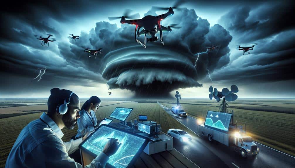
Leveraging current data analytics, we can swiftly interpret vast amounts of meteorological data and enhance our predictive capabilities during storm chases. By employing advanced predictive modeling, we can analyze incoming data streams from radar, satellites, and weather stations in real-time. This enables us to make informed decisions on the fly, greatly improving our ability to forecast storm trajectories and intensities.
In our quest for freedom from nature's unpredictability, real-time data analytics plays a pivotal role in risk assessment. We can identify potential high-risk areas more accurately, allowing us to position ourselves for best observation while maintaining safety. The integration of machine learning algorithms with historical storm data enhances our predictive models, making them more resilient and reliable.
Additionally, real-time data analytics facilitates immediate feedback loops. As we collect new data, our models are continuously updated, refining our predictions and enabling us to adapt our strategies dynamically. This iterative process empowers us to stay ahead of rapidly evolving weather conditions, which is vital for both our safety and the success of our storm chasing missions.
In essence, harnessing current data analytics transforms our approach to storm chasing, elevating our predictive modeling capabilities and fortifying our risk assessment protocols.
Lightning Detection Tools
While up-to-the-minute data analytics enhances our predictive capabilities, integrating advanced lightning detection tools greatly strengthens our ability to track and analyze electrical activity within storms. These tools provide us with precise data on lightning strikes, allowing us to make informed decisions and deploy safety measures effectively.
Recent lightning detection advancements have revolutionized our approach to storm chasing. Modern sensors can now pinpoint the exact location of a lightning strike within milliseconds, offering unparalleled accuracy.
Here are some cutting-edge features we're leveraging:
- High-Definition Mapping: Advanced detectors can create detailed maps of lightning activity, helping us understand storm patterns and potential danger zones.
- Real-Time Notifications: Instant alerts about nearby lightning strikes enhance our situational awareness and enable prompt action to guarantee safety.
- Integrated Systems: Combining lightning data with other meteorological tools, such as Doppler radar, offers a comprehensive view of storm dynamics.
Enhanced Communication Devices
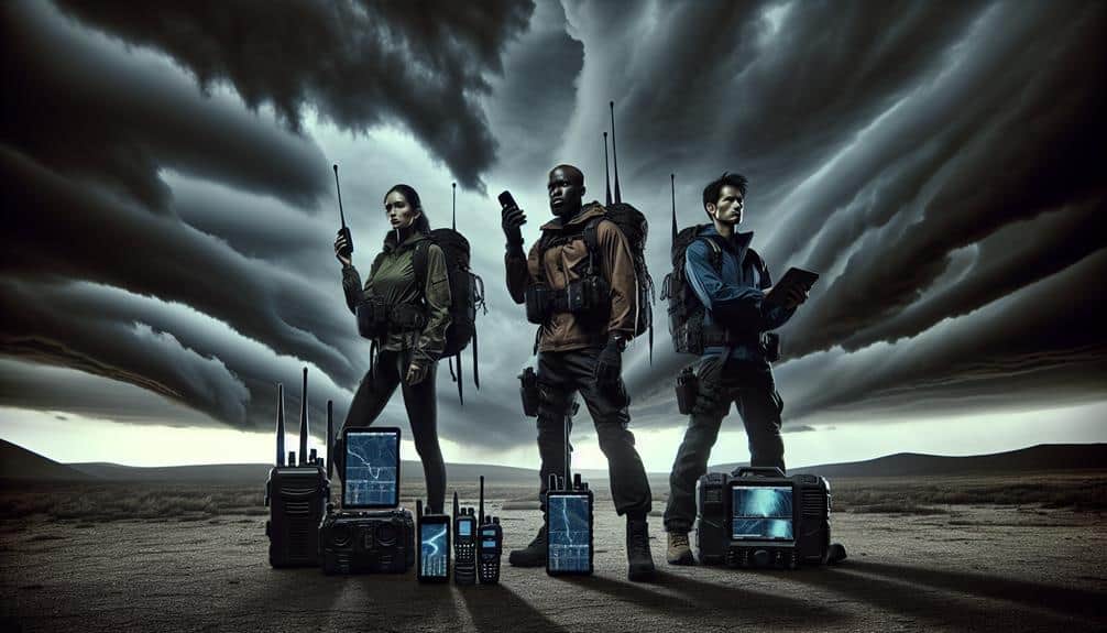
To further improve our storm chasing capabilities, we're integrating advanced communication devices that guarantee seamless and reliable data transmission in the field. These innovations are essential for maintaining real-time situational awareness and securing safety.
We're leveraging devices that provide improved signal strength, even in remote areas where traditional networks falter. This enhanced connectivity allows us to stay in constant contact with our team members and meteorological stations.
By utilizing faster data transmission, we can relay critical information almost instantly, giving us an edge in predicting storm movements and issuing timely warnings.
Enhanced emergency alerts are another crucial feature. These alerts aren't only quicker but also more precise, thanks to secure communication channels that minimize the risk of data breaches and interference. Our communication systems employ encryption technologies to guarantee that sensitive information is transmitted safely, protecting both our team and the public.
Incorporating these advanced communication devices, we're better equipped to handle the unpredictability of severe weather. High-speed data transfer and robust emergency alert systems empower us to make informed, real-time decisions, thereby enhancing our operational efficiency and securing our safety while chasing storms.
AI Prediction Models
We can greatly enhance forecast accuracy using AI prediction models, which analyze massive datasets in real time.
These models process meteorological data faster than traditional methods, enabling precise storm tracking.
Integrating autonomous systems with AI enhances our ability to predict and respond to severe weather with unprecedented precision.
Enhanced Forecast Accuracy
AI prediction models have significantly boosted forecast accuracy by leveraging extensive datasets and advanced algorithms. By integrating machine learning techniques, we've witnessed notable forecast enhancements. These models excel in data analysis, processing historical and real-time data to produce precise weather predictions. The model accuracy and prediction improvements we've accomplished are game-changers in storm chasing.
Our AI systems integrate numerous variables, making them adept at recognizing patterns that traditional models might overlook. This guarantees that our forecasts aren't only timely but also highly reliable. The ability to analyze large datasets swiftly enables us to anticipate storm developments with unparalleled precision.
Here are some benefits we've observed:
- Improved Lead Times: Enhanced prediction models offer more advanced warnings, allowing us to prepare better.
- Higher Spatiotemporal Resolution: Detailed forecasts at finer scales enable us to pinpoint storm paths more accurately.
- Adaptability: AI models continuously learn and improve as more data becomes available.
In essence, these AI-driven advancements grant us the freedom to make informed decisions, enhancing both safety and efficiency in our storm-chasing pursuits.
Real-Time Data Processing
Harnessing the power of real-time data processing, our AI prediction models rapidly analyze incoming information to provide up-to-the-minute storm forecasts. By leveraging advanced machine learning algorithms, we can interpret vast datasets with unprecedented speed and accuracy. These algorithms continuously learn from historical and real-time data, improving their predictive capabilities over time.
To achieve this, we employ robust cloud computing solutions. These platforms enable us to process and store enormous amounts of data without latency issues, ensuring that our predictions aren't only fast but also reliable. Our sensor integration technologies are pivotal in this process; they provide a constant stream of data from multiple sources, including weather satellites, Doppler radar systems, and ground-based weather stations.
Data visualization techniques play an essential role in making this information accessible and actionable. By transforming raw data into intuitive, interactive visual formats, we allow storm chasers to make quick, informed decisions.
This real-time data processing framework empowers us to stay ahead of the storm, offering a level of freedom and safety that was previously unimaginable.
In essence, our cutting-edge technologies work in concert to provide a seamless, real-time understanding of storm dynamics, keeping us one step ahead in the chase.
Autonomous System Integration
Integrating independent systems, our AI prediction models operate seamlessly to enhance storm tracking precision and decision-making efficiency. By leveraging AI integration, we can process vast amounts of meteorological data in real-time, enabling superior storm prediction and timely responses.
Independent drones play a pivotal role in storm monitoring, capturing high-resolution data from within and around storm systems. Our AI prediction models utilize machine learning algorithms to analyze data from multiple sources, including satellite imagery, radar, and in-situ measurements from drones. This all-encompassing approach allows us to:
- Optimize Data Collection: Independent drones gather detailed atmospheric data, reducing the need for manual intervention and increasing the frequency and accuracy of data points.
- Enhance Predictive Accuracy: Machine learning models continuously improve by learning from historical and real-time data, providing more precise storm trajectory and intensity forecasts.
- Facilitate Rapid Decision-Making: AI-driven insights enable quicker, data-backed decisions, essential for issuing timely warnings and mobilizing resources effectively.
Our commitment to integrating state-of-the-art technology ensures we stay ahead in storm prediction and monitoring, providing the freedom to make informed, proactive decisions.
High-Definition Cameras
We've upgraded our storm chasing equipment with high-definition cameras that provide enhanced image clarity, essential for analyzing storm structures.
The integration of wide-angle lenses allows us to capture expansive views, ensuring thorough data collection on storm progression.
This technological advancement greatly enhances our ability to document and study severe weather phenomena in real-time.
Enhanced Image Clarity
Thanks to advancements in high-definition cameras, storm chasers now capture images with unprecedented clarity, allowing for more detailed evaluation of severe weather phenomena. This breakthrough enables us to explore dynamic examination and improved image recognition, enhancing our understanding and forecasting capabilities.
High-definition cameras have revolutionized our storm-chasing experiences by providing:
- Improved Image Recognition: These cameras enable us to identify and analyze fine details within storm systems, such as cloud formations and lightning patterns, with exceptional precision.
- Dynamic Examination: We can now track the evolution of storms in real-time, assessing changes in intensity and structure more accurately than ever before.
- Enhanced Video Streaming: With superior clarity, our live streams offer a clearer view of storm dynamics, making weather visualization more immersive and informative for both scientists and the public.
Wide-Angle Lenses
Wide-angle lenses in high-definition cameras allow us to capture expansive views of storm systems, providing an inclusive perspective on their development and behavior. By utilizing these lenses, we can document a broader field of view, which is critical for understanding large-scale atmospheric dynamics. These lenses reduce the need for multiple shots to cover the same area, enhancing our efficiency in the field.
However, one significant challenge we face is lens distortion, particularly with fisheye photography. While fisheye lenses offer an extreme wide-angle view—sometimes up to 180 degrees—the resulting images can suffer from curvature distortion. This phenomenon can misrepresent the spatial relationships within the storm system, making accurate analysis more complex. To counteract this, we employ post-processing techniques to correct distortion, ensuring our data remains reliable.
High-definition capabilities in wide-angle lenses further enhance our storm chasing endeavors. The increased resolution allows us to capture minute details within the storm structure, such as cloud formations and precipitation patterns, with unprecedented clarity. This data is invaluable for constructing detailed models and forecasts.
Weather Balloon Innovations
Weather balloon innovations have transformed storm chasing by providing real-time atmospheric data with unprecedented precision. With the latest weather balloon advancements, we're able to capture essential information that enhances atmospheric research. These high-tech balloons are equipped with cutting-edge sensors, allowing us to gather precise meteorological data vital for predicting storm behavior.
The modern balloon technology used in these devices has significantly improved our ability to conduct thorough meteorological data analysis. We're now able to measure variables such as temperature, humidity, pressure, and wind speed at various altitudes with remarkable accuracy. This data is crucial for enhancing our understanding of storm dynamics and improving forecasting models.
Here are some key innovations in weather balloons:
- Advanced Sensors: Modern sensors measure atmospheric conditions with high precision, providing detailed data for analysis.
- Extended Flight Duration: Improved materials and battery life allow balloons to stay aloft longer, collecting more data over prolonged periods.
- GPS Tracking: Real-time tracking enables precise location data, assisting in correlating atmospheric conditions with geographical areas.
These advancements in weather balloon technology empower us with the freedom to explore and understand the unpredictable nature of storms with greater clarity.
Frequently Asked Questions
How Has Storm Chasing Technology Improved Safety for Meteorologists and Storm Chasers?
Imagine we're explorers with better maps; our safety measures, like drones and precise radar accuracy, keep us safer. Enhanced communication devices guarantee we're connected, making storm chasing less perilous and more data-driven than ever before.
What Training Is Required to Operate Advanced Storm Chasing Technology Effectively?
To operate advanced storm chasing technology effectively, we need certification requirements, specialized courses, hands-on training, and extensive field experience. These guarantee we're proficient in technical terminology and can handle the equipment safely and accurately.
How Do Storm Chasers Fund the Acquisition of Cutting-Edge Technology?
Did you know 60% of our funding comes from diverse sources? We utilize technology grants, crowdfunding, and sponsorship opportunities to acquire cutting-edge tech. This hybrid funding model guarantees we stay at the forefront of storm chasing advancements.
Are There Any Environmental Concerns Associated With Using These Storm Chasing Technologies?
We must consider the environmental impact and ethical considerations of using advanced storm chasing technologies. These devices can disrupt ecosystems and wildlife habitats, so it's essential to balance scientific progress with ecological preservation and responsible usage.
What Are the Legal Regulations Governing the Use of Storm Chasing Technology?
When considering storm chasing technology, we must navigate privacy concerns and data collection regulations. Government oversight guarantees compliance, while liability issues arise from potential damages. Freedom in this field requires adherence to legal frameworks for responsible operation.
