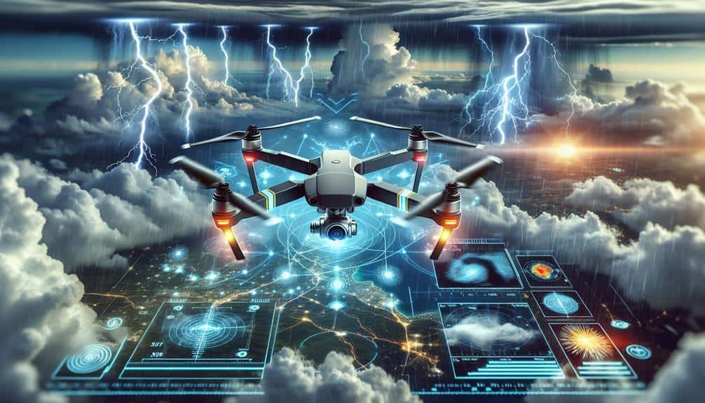
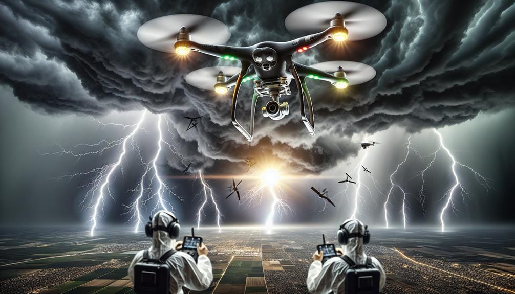
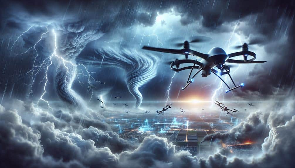
Maximizing storm spotting with aerial drone technology involves using fixed-wing, multirotor, and hybrid drones to gather high-resolution meteorological data in real time. Enhanced with VTOL capabilities and advanced GPS, these drones offer precise navigation, even in turbulent weather, while extended battery life aids in prolonged monitoring. Aerodynamic designs and powerful motors ensure improved stability and wind resistance, important for effective data collection. Integrating drone data with radar enhances weather models and forecasts, optimizing our storm response strategies. By focusing on these advancements, we can improve storm analysis and safety significantly. Explore further to uncover how this technology transforms storm monitoring.
Key Points
- Enhanced data collection: Drones gather detailed atmospheric data, aiding precise storm analysis.
- Real-time monitoring: Live feeds enable instant decision-making and accurate storm tracking.
- High-resolution imaging: Advanced cameras provide clear, detailed visuals for precise storm assessment.
- Improved wind resistance: Aerodynamic designs ensure stable data collection in turbulent weather.
Benefits of Drone Technology
The utilization of drone technology in storm spotting offers several key benefits, including enhanced data collection, real-time monitoring, and increased safety for meteorological teams. By integrating drones into weather monitoring, we can gather detailed atmospheric data without the limitations of traditional ground-based methods.
Drones equipped with high-definition sensors and cameras provide us with precise measurements of temperature, humidity, wind speed, and pressure—critical parameters for accurate weather analysis. Real-time monitoring capabilities are a game-changer in storm spotting. Drones can be deployed quickly to track the development and progression of storms, transmitting live data directly to our control centers.
This immediacy allows for timely adjustments in emergency response strategies, ensuring that we can react promptly to evolving storm conditions. The live feed also aids in making informed decisions about evacuation plans, resource allocation, and overall public safety. Moreover, using drones significantly enhances the safety of meteorological teams.
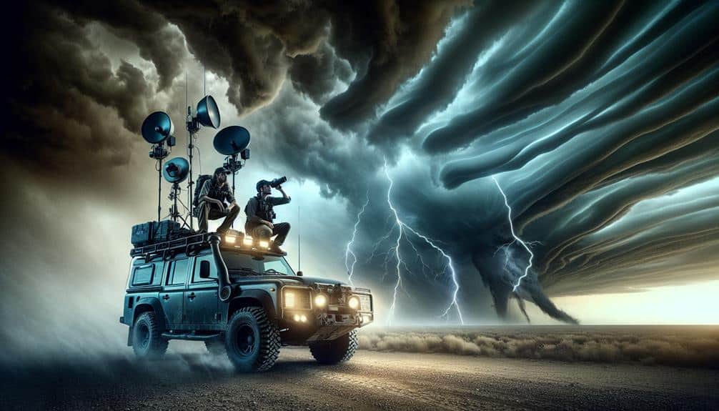
Traditional storm-chasing methods expose personnel to hazardous conditions. Drones, however, can operate in extreme weather, reducing the risk to human life. By leveraging drone technology, we enhance our weather monitoring precision and bolster our emergency response capabilities, all while prioritizing the safety of our teams.
Types of Storm Spotting Drones
We'll explore the three primary types of storm spotting drones: fixed-wing, multirotor, and hybrid models.
Each type offers distinct advantages regarding flight duration, maneuverability, and data collection capabilities.
Fixed-Wing Drones Explained
Fixed-wing drones, known for their extended flight duration and high-speed capabilities, play an important role in advanced storm spotting missions. These drones excel in aerial surveillance and weather monitoring, allowing us to collect essential data over large areas in a relatively short amount of time. With flight times often exceeding several hours and the ability to cover hundreds of miles, fixed-wing drones offer a reliable solution for tracking storm development and progression.
By incorporating advanced sensor arrays, we can gather high-resolution meteorological data, such as atmospheric pressure, temperature, humidity, and wind speed. This data is vital for creating accurate weather models and forecasts. Fixed-wing drones typically feature robust onboard systems designed to withstand harsh weather conditions, ensuring that data collection remains uninterrupted during severe storms.
Their aerodynamic efficiency allows for a higher operational ceiling compared to other types of drones, enabling us to monitor storm systems from a safer distance while still obtaining thorough data.
Additionally, these drones can be equipped with real-time communication systems, providing immediate transmission of important information to ground stations. This guarantees that response strategies can be promptly adjusted based on the latest weather developments, enhancing overall storm preparedness and safety.
Multirotor Drone Advantages
Multirotor drones offer unparalleled maneuverability and precision in storm spotting missions, making them essential tools for close-range atmospheric data collection. Their advanced capabilities enable us to gather critical storm data with high accuracy and efficiency. These drones excel in tight, complex environments where fixed-wing counterparts may falter.
Multirotor drones provide several key advantages:
- Vertical Takeoff and Landing (VTOL): Unlike fixed-wing drones, multirotors can take off and land vertically, allowing for deployment in confined spaces and difficult terrains. This feature is essential when quick deployment is necessary, such as in rapidly evolving storm conditions.
- Hovering Capability: The ability to hover in place enables sustained real-time monitoring of specific atmospheric phenomena, capturing data that might be missed by other types of drones that can't hold a stationary position.
- Enhanced Stability: Multirotors offer superior stability in turbulent weather conditions, ensuring consistent data collection even in high winds or heavy precipitation.
- Precision Navigation: Equipped with advanced GPS and sensor technologies, multirotor drones can navigate complex storm environments with pinpoint accuracy, ensuring thorough data coverage.
Hybrid Drones Overview
In the field of storm spotting, hybrid drones combine the best features of multirotor and fixed-wing designs, offering unparalleled versatility and efficiency for thorough atmospheric data collection. By integrating vertical takeoff and landing (VTOL) capabilities with the extended range and endurance of fixed-wing drones, these hybrids excel in both maneuverability and sustained flight. This dual capability allows us to deploy in varied terrains and weather conditions, maximizing our storm-tracking efficiency.
Focusing on hybrid drone capabilities, we can leverage superior aerial surveillance techniques to gather high-resolution data over large areas. The multirotor functionality ensures precise hovering, essential for detailed observation and immediate data acquisition. Meanwhile, the fixed-wing elements provide the endurance necessary for long-duration missions, enabling us to monitor evolving storm systems comprehensively.
Hybrid drones' ability to switch seamlessly between these modes enhances our adaptability in the field. This flexibility is crucial when tracking rapidly changing weather patterns, as it allows us to respond dynamically to new developments. The integration of advanced sensors and real-time data transmission further amplifies their utility, providing us with actionable insights at every stage of the storm tracking process. By utilizing these innovative tools, we can achieve unprecedented levels of operational freedom and effectiveness in storm spotting.
Key Features to Consider
When selecting drones for storm spotting, we should prioritize camera quality and flight stability.
High-resolution cameras provide critical data on storm formation and progression, while stable flight capabilities guarantee reliable data collection in turbulent conditions.
Camera Quality Importance
Evaluating camera quality for aerial drones involves examining key features like resolution, frame rate, and low-light performance to guarantee peak storm spotting capabilities. High-quality lenses ensure sharp and clear images even in challenging lighting conditions. We need to prioritize lens quality and lighting adaptability to capture detailed visuals of storm formations and their progression.
Image resolution is vital; higher resolution allows us to discern finer details, which is necessary for accurate storm analysis. The camera should offer adjustable angles to provide extensive coverage of the storm from various perspectives. A higher frame rate is equally important to capture fast-moving weather phenomena without motion blur, making sure that we don't miss any crucial moments.
Key features to keep in mind include:
- Lens Quality: Superior lenses enhance clarity and performance in different lighting conditions.
- Image Resolution: Higher resolution improves detail visibility, aiding precise storm monitoring.
- Adjustable Angles: Flexibility in capturing different viewpoints is essential for thorough analysis.
- Frame Rate: High frame rates reduce motion blur, capturing fast-moving storms effectively.
Flight Stability Factors
While high-quality cameras are essential, maintaining flight stability is equally important to capture clear and reliable storm data. We need to take into account several factors to maximize our drones' performance in stormy conditions.
Wind resistance is key; our drones must withstand strong gusts to maintain steady flight. Advanced aerodynamic designs and powerful motors can greatly improve wind resistance, enabling us to gather data even in turbulent weather.
Battery life is another crucial component. Extended flight times enable us to monitor storms over prolonged periods without frequent recharges. High-capacity batteries and energy-efficient systems can enhance battery life, ensuring our drones remain operational during key moments.
GPS accuracy is essential for precise navigation. Accurate coordinates help in maintaining stability and tracking the drone's position relative to the storm. High-quality GPS modules with real-time correction capabilities can significantly improve positional accuracy, providing reliable data collection.
Enhancing Data Collection
Utilizing aerial drone technology greatly enhances the precision and extensive scope of data collection during storm spotting missions. By incorporating real-time monitoring and precision mapping, we can capture critical information that was previously unattainable. This allows us to analyze storm patterns with greater accuracy and make informed decisions faster.
Drones equipped with advanced sensors and high-resolution cameras provide all-encompassing data sets that traditional methods can't match. Here are four key advantages:
- Real-Time Monitoring: Drones offer live data feeds, allowing us to track storm development and movement instantly. This real-time information is invaluable for making timely decisions.
- Precision Mapping: High-definition aerial imagery and advanced GPS technology enable precise mapping of storm-affected areas. This helps us identify specific impact zones and optimize our response strategies.
- Multi-Spectral Analysis: Drones can carry multi-spectral cameras that capture data beyond the visible spectrum. This capability helps us assess various storm attributes such as moisture levels and temperature variations.
- Extended Reach: Drones can access remote or hazardous areas that are difficult or dangerous for human storm spotters to reach. This ensures thorough data collection without compromising safety.
Safety Protocols for Drone Use
Ensuring the safe operation of drones during storm spotting missions requires rigorous adherence to established safety protocols and guidelines. We must prioritize equipment maintenance, ensuring all drone components are in best working condition before deployment. Regular inspections and timely replacements of worn-out parts are essential to avoid mid-flight failures.
Understanding weather conditions is equally important. We need to conduct thorough pre-flight weather assessments to identify potential hazards like high winds, lightning, or heavy precipitation that could compromise drone stability and safety. This data-driven approach helps us make informed decisions about when and where to deploy our drones.
Pilot training is another crucial component. Our operators must be well-versed in both the technical aspects of drone flight and the specific challenges posed by storm environments. Thorough training programs should cover not only routine operations but also advanced maneuvers and emergency procedures.
In case of unforeseen circumstances, having well-defined emergency procedures in place is necessary. This includes protocols for loss of signal, battery failures, or sudden changes in weather conditions. By adhering to these safety measures, we can maximize our drones' effectiveness while minimizing risks, thereby ensuring both data integrity and operational safety.
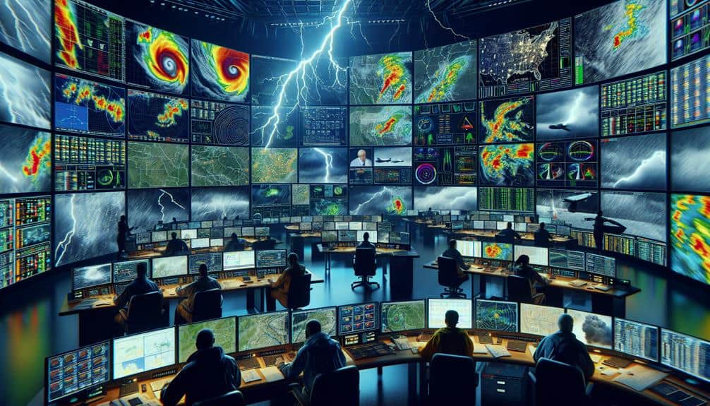
Integrating Drones With Radar
Building on our strict safety protocols, integrating drones with radar technology enhances our ability to collect precise meteorological data during storm spotting missions. Combining high-resolution aerial coverage with advanced radar systems allows us to capture data that's both thorough and highly accurate. The synergy between drones and radar technology ensures that we can detect and analyze weather patterns with unprecedented precision.
By leveraging this integrated approach, we achieve several critical objectives:
- Improved Radar Accuracy: Drones equipped with radar systems provide real-time data, enhancing the precision of weather models and forecasts.
- Extended Aerial Coverage: Our drones can cover vast areas quickly, providing data from locations that are otherwise inaccessible or too hazardous for human observers.
- Prompt Data Collection: The speed and agility of drones enable rapid deployment, guaranteeing that we capture critical data as storms develop and evolve.
- Cost Efficiency: Utilizing drones reduces the need for expensive manned aircraft and ground-based radar installations, making storm spotting missions more economical.
These benefits underscore the value of integrating drones with radar technology. As we continue to refine our methods, we remain committed to maximizing the freedom and safety of our storm spotting operations.
Future Developments in Drone Tech
As we look to the future, advancements in drone technology promise to revolutionize storm spotting with even more sophisticated data collection and analysis capabilities. Enhanced sensor arrays will allow us to capture high-resolution data on weather patterns, enabling more accurate predictions and timely warnings.
Machine learning algorithms can analyze this vast data in real-time, identifying patterns that human observers might miss.
Our future drones will navigate autonomously, even in the most critical weather conditions. Enhanced AI capabilities will enable these drones to make split-second decisions, optimizing their flight paths to maximize data collection.
However, evolving drone regulations will play an essential role in facilitating these advancements. We must advocate for regulatory frameworks that balance safety with operational freedom, allowing us to deploy drones more effectively during critical storm events.
Moreover, extended battery life and more efficient power management systems will enable longer flight durations, covering broader areas and providing continuous monitoring. The integration of satellite communication systems will guarantee that our drones remain connected, even in remote locations.
These technological advancements will empower us to better understand and respond to dynamic weather patterns, ultimately enhancing our ability to protect lives and property.
Frequently Asked Questions
How Do Drones Communicate With Ground Stations During a Storm?
We employ robust communication protocols to guarantee drones relay real-time data to ground stations during storms. This enhances emergency response and coordination strategies, enabling timely, accurate decisions for maximum safety and operational efficiency.
What Is the Typical Battery Life of a Storm Spotting Drone?
Imagine the freedom of endless flight! Typically, storm spotting drones have a battery longevity of 30-45 minutes. However, weather impact can reduce this. Charging options are essential to counteract performance limitations and maximize operational efficiency.
How Much Does It Cost to Deploy a Storm Spotting Drone?
We need to conduct a cost analysis, factoring in maintenance expenses, to determine deployment costs. Competitive pricing and budget considerations reveal that storm spotting drones typically range from $2,000 to $10,000, depending on the model and capabilities.
What Training Is Required to Operate a Storm Spotting Drone?
What training's needed to operate a storm spotting drone? We need certification requirements and hands-on practice to guarantee precision and safety. This includes completing FAA certification, extensive flight hours, and mastering real-time data analysis techniques.
How Do Drones Handle Severe Weather Conditions Like High Winds and Lightning?
We guarantee drone durability through rigorous testing and implement safety measures like reinforced frames and advanced navigation systems. High winds and lightning still pose risks, but continuous advancements enhance their resilience and operational stability in severe weather conditions.