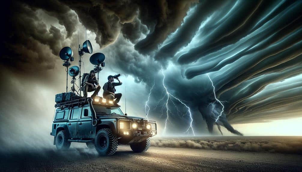
We use advanced tools and resources for ultimate storm spotting, guaranteeing real-time situational awareness and effective decision-making. High-resolution radar and satellite imagery provide detailed storm structure analysis, while mobile apps like RadarScope and Storm Shield offer critical real-time updates and GPS navigation. Our communication relies on robust systems like two-way radios and mobile apps such as Zello for seamless coordination. GIS mapping systems enhance our situational awareness, and thorough training programs like Skywarn Certification equip us with essential skills. Our approach ensures precision and safety, empowering us to act swiftly during severe weather events. Explore further to understand our methodology.
Key Points
- High-resolution radar and satellite imagery: Real-time data for accurate storm tracking and intensity assessment.
- Mobile apps for storm chasers: Tools like RadarScope and Storm Shield provide real-time updates and alerts.
- Advanced communication tools: Systems like Zello and two-way radios ensure seamless team coordination.
- GIS mapping systems: Visualize storm trajectories and impact areas for better situational awareness.
Real-Time Weather Data
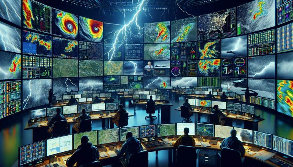
Access to up-to-the-minute weather data is crucial for effective storm spotting and timely decision-making. We rely on advanced weather monitoring systems to gather precise atmospheric information.
Integrating lightning detection technology enhances our ability to identify storm intensity and track storm development. This real-time data allows us to anticipate severe weather conditions, facilitating more accurate storm prediction.
With these tools, we can provide early warnings that empower communities to prepare and respond effectively. Our data-driven approach is essential for emergency response teams, who depend on accurate, current information to coordinate evacuation plans and deploy resources where they're most needed.
The continuous flow of real-time weather data ensures we've a detailed understanding of evolving weather patterns. By analyzing this data, we can pinpoint high-risk areas and predict potential storm paths. This not only aids in immediate response but also helps in long-term planning and risk mitigation.
We are committed to leveraging technological advancements in weather monitoring and lightning detection to enhance our storm prediction capabilities. This dedication to real-time data equips us to safeguard lives and property, guaranteeing that our communities have the freedom to thrive, even in the face of severe weather.
Radar and Satellite Imagery
We utilize radar and satellite imagery to gain real-time weather data essential for storm spotting.
High-resolution imagery tools enable us to analyze storm structures and track their development with precision.
Real-Time Weather Data
Exploring storm spotting necessitates using real-time weather data, such as radar and satellite imagery, to make informed decisions. We rely on advanced weather tracking systems to monitor atmospheric conditions and predict storm behavior. This data is essential for emergency response teams who need accurate, up-to-date information to protect lives and property.
Radar imagery gives us a detailed look at precipitation patterns, storm intensity, and movement. By analyzing radar data, we can assess the likelihood of severe weather events, improving forecast accuracy.
Satellite imagery, on the other hand, provides a broader view of cloud cover, storm formation, and atmospheric disturbances. Together, these tools enable in-depth data analysis for better decision-making.
Our ability to access real-time weather data empowers us to act swiftly and with precision. When a storm is imminent, having accurate data at our fingertips allows us to issue timely warnings and mobilize resources effectively. This not only aids in emergency response but also guarantees that the public is well-informed and prepared.
High-Resolution Imagery Tools
Harnessing high-definition imagery tools like radar and satellite technology allows us to scrutinize detailed weather patterns and storm dynamics with unmatched precision. These tools empower us to conduct in-depth image analysis, providing crucial data for forecasting and real-time decision-making.
Radar imagery enables us to detect precipitation intensity, storm structure, and movement. High-definition radar can pinpoint areas of heavy rainfall, hail, and tornado formation. Satellite imagery, on the other hand, offers a thorough view of weather systems, capturing cloud cover, temperature variations, and moisture levels across vast regions.
To maximize the utility of these high-definition imagery tools, we should focus on:
- Real-Time Monitoring: Continuous updates from radar and satellite imagery allow us to track storm development and progression, guaranteeing timely alerts and warnings.
- Data Integration: Combining radar and satellite data with other meteorological inputs enhances the accuracy of our image analysis.
- Predictive Analytics: Leveraging advanced algorithms to analyze historical and real-time data helps us predict future weather patterns and potential storm impacts.
- Accessibility: Providing open access to high-definition imagery tools ensures that everyone, from enthusiasts to professionals, can participate in storm spotting and weather analysis.
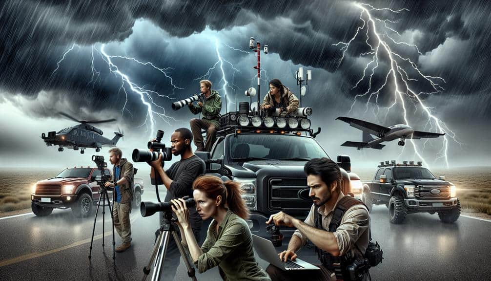
Mobile Apps for Storm Chasers
Let's examine how mobile apps enhance our storm-chasing efforts with real-time weather updates and GPS navigation assistance. These tools offer precise meteorological data and route optimization, essential for effective and safe storm tracking.
Real-Time Weather Updates
For storm chasers, mobile apps like RadarScope and Storm Shield provide essential real-time weather updates, leveraging advanced radar data and geolocation services to enhance situational awareness and decision-making. These tools are indispensable for storm tracking, enabling us to pinpoint storm locations, intensity, and movement accurately.
RadarScope offers high-resolution radar data from NEXRAD Level 3 and super-resolution radar products, which allow us to monitor storm characteristics in near real-time. Storm Shield, on the other hand, sends us vital weather alerts directly to our mobile devices, ensuring we're always informed of any imminent threats. The integration of storm tracking and emergency response functionalities in these apps makes them pivotal for our storm chasing endeavors.
Here are four key features that make these apps stand out:
- High-Resolution Radar: Provides detailed storm structures, enabling precise tracking and forecasting.
- Geolocation Services: Offers real-time positioning to enhance situational awareness.
- Custom Alerts: Allows us to set specific weather triggers, ensuring we're alerted to relevant storm developments.
- Historical Data: Access to archived radar data helps in analyzing past storm patterns and improving future predictions.
Harnessing GPS navigation assistance through mobile apps like Waze and Google Maps, we can effectively navigate through complex road networks while storm chasing, guaranteeing we reach vital observation points swiftly and securely. These platforms offer real-time geographic tracking, enabling us to adjust our routes dynamically based on evolving storm conditions and road closures.
When it comes to emergency response, timing is essential. Waze's crowdsourced traffic data helps us avoid congestion and hazardous areas, while Google Maps' advanced algorithms calculate best routes considering real-time traffic patterns. Both apps offer turn-by-turn navigation, which is invaluable in high-pressure situations where every moment counts.
Additionally, these mobile apps integrate seamlessly with other storm-spotting tools, such as radar and weather alert systems, providing a cohesive operational framework. For example, we can overlay storm tracks on our maps to predict movement and position ourselves strategically.
Furthermore, the historical data stored by these apps allows for post-event analysis, enhancing our future storm-chasing strategies. By utilizing these GPS navigation tools, we not only enhance our efficiency but also optimize that we adhere to safety protocols, thereby maximizing our observational potential.
Communication and Coordination Tools
Effective storm spotting relies heavily on advanced communication and coordination tools that enable real-time data sharing and rapid response among team members. In a high-stakes environment where seconds can save lives, leveraging robust tools for emergency response and crisis communication is paramount. We need to make sure that our systems are both reliable and intuitive, facilitating seamless interaction under pressure.
To optimize our communication and coordination, we utilize a suite of specialized tools:
- Two-Way Radios: These provide clear, immediate communication across all team members, ensuring that critical information is relayed without delay.
- Mobile Apps: Applications like Zello and Slack facilitate real-time updates and group coordination, enabling us to share live data streams and alerts instantly.
- Satellite Phones: In areas where cellular networks are unreliable or overwhelmed, satellite phones offer a dependable alternative for maintaining contact.
- GIS Mapping Systems: Geographic Information System (GIS) tools allow us to visualize storm trajectories and anticipate impact areas, enhancing our situational awareness and decision-making capabilities.
Safety Equipment and Gear
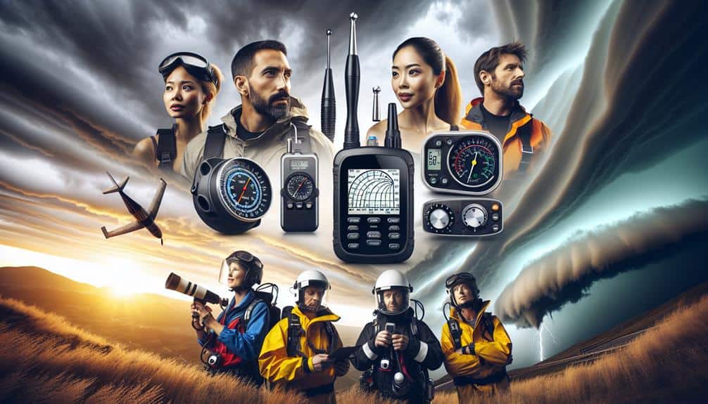
In hazardous storm-spotting conditions, our safety equipment and gear are crucial for ensuring the well-being and operational efficiency of our team. We rely on advanced protective clothing to shield us from extreme weather elements. This includes wind-resistant jackets, waterproof pants, and high-visibility vests. These garments are constructed from breathable yet durable materials like Gore-Tex, providing both protection and comfort during prolonged exposure.
Emergency shelters are another pivotal component of our safety protocols. Portable and easy to deploy, these shelters offer a secure refuge when conditions escalate beyond safe limits. They're designed to withstand high winds and heavy precipitation, featuring reinforced frames and waterproof, UV-resistant fabrics. Data indicates that properly utilized emergency shelters can reduce injury risks by up to 70% during severe storm events.
Additionally, we equip ourselves with personal protective equipment (PPE) such as helmets, safety goggles, and gloves. These items are essential for safeguarding against flying debris and other hazards. Our gear choices are driven by rigorous testing and compliance with safety standards like ASTM and ANSI, ensuring we maintain operational readiness without compromising our freedom to move and act decisively in the field.
Training and Certification Programs
While our safety equipment and gear form the backbone of our physical preparedness, our expertise is honed through rigorous training and certification programs. These programs guarantee we're not just ready to chase storms but to do so with precision and skill.
To become proficient storm spotters, we engage in a combination of field experience and online courses. Let's break down the essential components of these training programs:
- Skywarn Certification: This program, offered by the National Weather Service, provides foundational knowledge in weather patterns, storm structures, and spotting techniques. We complete an online course followed by practical field assessments.
- Advanced Spotter Training: For those seeking more detailed meteorological understanding, this course covers advanced radar interpretation, storm dynamics, and real-time reporting protocols. Field exercises are critical, offering hands-on experience.
- Field Experience: Real-world application is unmatched. We join experienced storm chasers in the field, observing and participating in storm tracking and data collection. This direct exposure is invaluable.
- Continuous Education: Weather patterns and technology evolve. We stay updated through webinars, workshops, and refresher courses to guarantee our techniques and knowledge remain cutting-edge.
Frequently Asked Questions
What Are the Best Online Communities for Storm Chasers to Join?
Imagine a storm of data swirling around us. We recommend joining communities like Stormtrack and the Weather Channel forums. They offer strong community engagement, excellent storm tracking, and prime networking opportunities for weather enthusiasts seeking freedom.
To upload and share storm footage, we use video sharing platforms like YouTube and Vimeo. For collaboration, we leverage social media platforms such as Twitter and Facebook, enabling real-time data exchange and maximizing our audience reach.
Are There Any Grants Available for Storm Research Projects?
Let's plunge into the eye of the storm for funding opportunities! Yes, there are grants available for storm research projects. Scholarships for weather studies often provide essential support for innovative research projects and data-driven inquiries into severe weather phenomena.
What Are the Top Conferences and Events for Storm Chasers?
We should prioritize attending ChaserCon and StormCon for their thorough data-driven presentations. Additionally, Storm Chaser Meetups and Storm Chaser Workshops provide invaluable networking and technical insights, enhancing our storm chasing strategies and fostering our freedom to explore.
How Can I Get Involved in Volunteer Storm Spotting Programs?
Did you know 70% of severe weather reports come from volunteers? We can start by completing volunteer training and engaging in community activities. This way, we contribute to accurate weather data and help our communities stay safe.