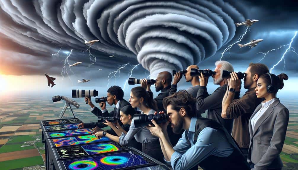
We suggest beginning with Skywarn and CoCoRaHS for robust community involvement and precise data collection. The Spotter Network's thorough training guarantees precise reporting, while Mping's real-time data improves emergency response. RadarScope offers detailed radar scans for accurate storm tracking. ChaserTV offers live storm tracking with real-time video streaming, enhancing visual accuracy. Weather Underground completes the list with advanced analytics from data sourced from the community. Each of these networks utilizes technology and input from the crowd to enhance weather monitoring and safety. For a more in-depth exploration of how these networks operate and benefit you, stay tuned.
Key Points
- Skywarn: Volunteer program by the National Weather Service providing critical storm data for meteorologists.
- CoCoRaHS: Citizen network collecting detailed precipitation data to aid weather monitoring.
- Spotter Network: Requires training and certification for precise, real-time weather reporting using GPS-enabled devices.
- Mping: Mobile app for real-time weather reporting by citizen scientists, enhancing emergency response.
Skywarn
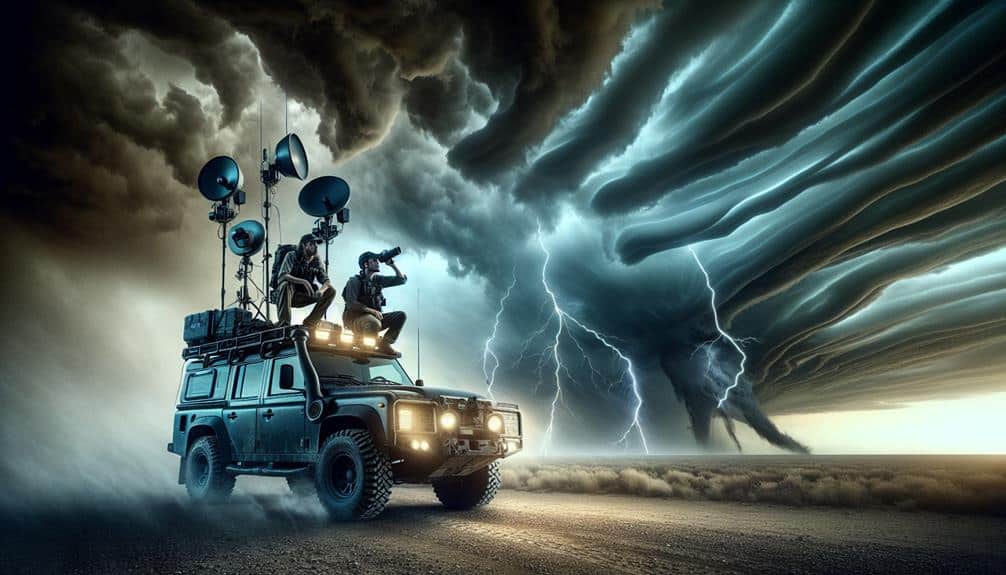
Skywarn, a volunteer program initiated by the National Weather Service, harnesses the power of community-based storm spotters to enhance real-time weather monitoring and reporting. We engage in storm chasing and detailed weather monitoring to provide vital data directly to meteorologists. This proactive approach is necessary for issuing timely warnings and mitigating the impact of severe weather events.
Our network of trained volunteers systematically reports phenomena such as tornadoes, hail, and flash flooding. These real-time observations are essential for validating radar data and improving the accuracy of weather forecasts. By integrating this ground-level intelligence, we empower meteorologists to make informed decisions that protect lives and property.
We utilize advanced communication tools, including mobile apps and two-way radios, to relay storm data swiftly. The precision of our reports helps the National Weather Service refine predictive models, thereby enhancing the efficacy of public advisories. Participation in Skywarn not only fulfills a civic duty but also provides a sense of autonomy and purpose.
Through rigorous training sessions, we acquire the skills needed for effective storm chasing and weather monitoring. This hands-on experience transforms us from passive observers into active contributors in the field of meteorology, ensuring a robust and responsive weather monitoring system.
CoCoRaHS
CoCoRaHS, abbreviated for the Community Collaborative Rain, Hail, and Snow Network, utilizes a dense network of volunteers to collect high-resolution precipitation data across various geographical areas. By employing a stringent yet accessible methodology, we empower everyday citizens to contribute to vital weather monitoring endeavors.
Our volunteer network enhances the detail of precipitation measurement, providing data that often exceeds the spatial resolution of traditional meteorological stations.
We engage in daily observations, documenting rainfall, hail, and snow metrics with precision. Our volunteers utilize standardized equipment to guarantee consistency and accuracy, empowering us to achieve robust datasets.
This collective effort generates valuable insights into localized weather patterns, informing both immediate forecasts and long-term climate studies.
Spotter Network
Let's start by examining the registration and training process for Spotter Network, which guarantees that all participants meet a standardized skill level.
We'll then evaluate the real-time reporting tools that enable spotters to provide precise, timely data.
Registration and Training Process
Signing up for the Spotter Network involves completing an online form and passing a rigorous training module to guarantee data accuracy and reliability. Our registration process is straightforward yet thorough, making sure only qualified individuals join. The first step is accessing the online form, where we input our personal information and answer questions about our experience and motivation.
Next, we delve into spotter training, which utilizes a variety of online resources designed to enhance our understanding of storm dynamics and reporting protocols. The certification requirements are stringent, including a series of modules that cover everything from basic meteorological concepts to advanced storm observation techniques. We must pass an online exam with a high score to demonstrate our competency.
The Spotter Network's data-driven approach ensures that all participants contribute high-quality, reliable information. The online resources provided during training are extensive, including interactive tutorials, video lectures, and real-time case studies. We can revisit these materials anytime to refresh our knowledge.
Real-Time Reporting Tools
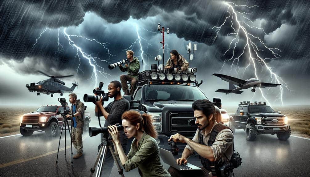
Leveraging advanced instant reporting tools, we can accurately relay critical storm data to the Spotter Network. These tools enable us to provide essential live updates and storm tracking information, enhancing the precision and speed of our reports. By utilizing GPS-enabled devices and mobile apps, we can transmit real-time data directly from the field, making sure that meteorologists and emergency services receive timely and accurate information.
Our primary focus is on delivering actionable weather alerts that can potentially save lives. When we observe severe weather phenomena, we report parameters such as wind speeds, hail size, and tornado sightings. This data is instantly uploaded to the Spotter Network, where it's analyzed and shared with relevant authorities. This rapid communication loop guarantees that safety tips and warnings reach the public without delay.
Additionally, these instant reporting tools enhance our mobility and flexibility, allowing us to operate effectively even in remote locations. By integrating radar data and satellite imagery, we can corroborate our observations with broader meteorological trends.
This all-encompassing approach to storm tracking not only improves the accuracy of our reports but also empowers us to make informed decisions, maximizing our operational freedom and effectiveness.
Mping
Let's examine Mping, a powerful tool for real-time weather reporting that leverages a user-friendly mobile app.
We can analyze how its community-driven data collection enhances the accuracy and immediacy of weather updates.
Real-Time Weather Reporting
Through the utilization of the mPING app, we can collect real-time weather data from citizen scientists to enhance meteorological models and forecasts. By harnessing the power of crowdsourced weather tracking, we improve the granularity and accuracy of atmospheric data. This collective effort provides meteorologists with invaluable insights into localized weather phenomena, leading to more precise and timely predictions.
When it comes to emergency response, real-time weather reporting through mPING becomes indispensable. The app's rapid data collection enables emergency services to react swiftly to emerging severe weather conditions. For instance, immediate reports of hail, heavy rainfall, or tornado sightings can trigger faster deployment of response teams, potentially saving lives and reducing property damage.
The mPING app also empowers us to contribute actively to scientific research. As we report our observations, we feed a database that enhances machine learning algorithms used in weather forecasting. This synergy between human input and technological advancement creates a robust system for tackling unpredictable weather patterns.
User-Friendly Mobile App
The mPING app provides an intuitive interface, allowing users to easily report weather conditions with just a few taps. This user-friendly design is essential for quick data entry, ensuring that our storm tracking efforts remain efficient and accurate.
mPING offers several features that enhance user experience and data reliability.
- Interactive maps: These maps enable us to visualize real-time weather reports from users across the globe, facilitating better storm tracking.
- Notifications: Customizable alerts keep us informed about severe weather changes, enhancing our situational awareness.
- Storm tracking: Integrating sophisticated algorithms, the app helps us monitor storm progress and predict potential impact zones.
Community-Driven Data Collection
Community-led data collection in mPING utilizes the combined observations of users globally to enhance the accuracy and scope of weather reports. This platform empowers us to provide crowd-sourced information that professional meteorologists can use to refine forecasts and emergency responses. By pooling data from amateur meteorologists, we foster a more inclusive understanding of weather patterns, essential for improving weather awareness.
Our contributions, regardless of our expertise level, can greatly impact how weather phenomena are understood and addressed. mPING allows us to report real-time conditions such as hail size, precipitation type, and wind speeds, creating a robust dataset that complements traditional meteorological tools. This synergy between crowd-sourced information and professional analysis aids in crafting precise, localized weather predictions.
Following safety protocols while participating is crucial. We should always prioritize our safety and report from secure locations. By doing so, we guarantee that our participation enhances public safety without compromising our well-being.
The collective effort of thousands of amateur meteorologists reporting accurate, timely data helps build a resilient network. This network not only sharpens our weather awareness but also fortifies community preparedness against severe weather events. Let's harness this power to contribute meaningfully and responsibly.
RadarScope
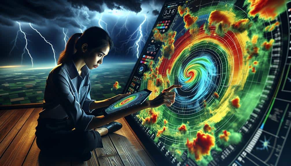
When storm spotting, we heavily depend on RadarScope for its detailed radar data and real-time updates. Its robust features empower us to track storms with precision, important for accurate weather monitoring. RadarScope provides us with a high-resolution view of radar imagery, enabling us to identify key features of severe weather systems swiftly.
To illustrate, here are some vital features of RadarScope:
- Real-Time Data: Access to live radar feeds ensures we've the most current information, essential for immediate storm tracking.
- Detailed Imagery: High-resolution radar scans allow us to detect small-scale weather phenomena that other tools might miss.
- Customizable Views: We can tailor the radar display to focus on specific data types, like velocity or reflectivity, enhancing our ability to analyze storm dynamics.
Using RadarScope, we maintain an analytical approach to storm spotting, leveraging data to make informed decisions. Our ability to monitor weather developments in real-time gives us the freedom to act swiftly and efficiently. This data-centric methodology is important for anyone serious about storm tracking and weather monitoring.
ChaserTV
ChaserTV offers us a dynamic platform for live storm tracking, enabling real-time video streaming from storm chasers in the field. This tool leverages advanced technology to broadcast high-definition footage of severe weather events as they unfold. We can access this data through live streaming, offering unparalleled immediacy and engagement. ChaserTV's network of experienced storm chasers guarantees that the information we receive is both accurate and up-to-the-minute.
The interactive maps on ChaserTV enhance our ability to visualize storm patterns and track their movements. These maps integrate real-time data, including wind speed, precipitation levels, and storm intensity, offering a detailed view of current weather conditions. By overlaying live streaming video on these maps, we gain a multi-dimensional understanding of the storm's progression.
For those of us seeking the freedom to explore and understand severe weather, ChaserTV provides essential tools. We can analyze storm paths, anticipate changes, and make informed decisions based on the most current data available. The platform combines technical precision with user-friendly features, enabling us to stay ahead of the storm. With ChaserTV, we're not just watching the weather; we're actively engaging with it.
Weather Underground
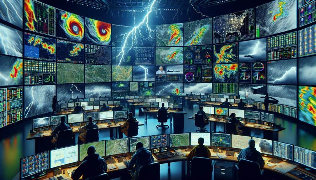
Weather Underground complements ChaserTV by offering a full suite of analytical tools and community-sourced weather data, enabling us to cross-reference live footage with extensive meteorological information. This synergy enhances our storm tracking capabilities, providing a robust platform to monitor severe weather events in real-time.
By integrating Weather Underground, we gain access to a wealth of data that's essential for forecast accuracy and effective storm tracking:
- Community-Sourced Data: Thousands of personal weather stations contribute real-time data, increasing granularity and precision.
- Advanced Analytics: In-depth tools allow us to analyze weather patterns and model potential severe weather scenarios.
- Forecast Models: Multiple forecast models enhance our ability to predict storm paths and impacts accurately.
These features allow us to collect and analyze data more effectively, providing a clearer picture of impending severe weather.
With the ability to correlate live footage from ChaserTV with detailed meteorological data from Weather Underground, we can make more informed decisions when evaluating and responding to weather threats. This combination empowers all of us to stay ahead of the storm, ensuring safety and preparedness.
Frequently Asked Questions
How Can I Stay Safe While Storm Spotting?
To stay safe while storm spotting, we utilize emergency shelters and evacuation plans. We rely on weather radios and effective communication strategies for real-time updates and coordination, ensuring our freedom to act quickly and safely.
What Equipment Is Essential for a Beginner Storm Spotter?
When we embrace the thrill of storm spotting, we must prioritize safety. Equipment recommendations include a reliable weather radio, GPS, and a sturdy map. For beginner gear, essential tools are a first-aid kit, flashlight, and protective clothing.
Are There Any Mobile Apps for Real-Time Storm Updates?
Yes, there are several mobile apps for real-time storm updates. Apps like RadarScope and Storm Shield use advanced storm tracking technology, providing real-time alerts to keep us informed and enhance our safety during severe weather events.
How Do I Report My Storm Observations to Local Authorities?
To report our storm observations to local authorities, we use emergency response communication channels like phone apps or radio. This guarantees community engagement and awareness, enhancing our collective safety and response efficiency during severe weather events.
What Training Resources Are Available for New Storm Spotters?
We can access a variety of training resources, including online courses and webinars, to enhance our skills. Field exercises provide practical experience, and certification programs validate our expertise, ensuring we're well-prepared for storm spotting roles.