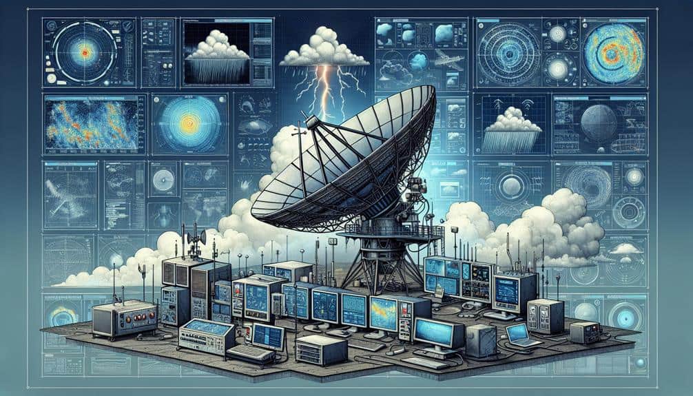
Let's break down storm tracking radar technology. It uses microwave pulses to measure and analyze precipitation, providing us with real-time data to observe weather patterns. The radar sends out pulses that bounce back from precipitation, helping us pinpoint the storm's location, speed, and direction. Doppler radar goes further by using the Doppler effect to measure precipitation velocity, while dual-polarization radar helps identify different types of precipitation. With these technologies, we can anticipate weather changes more accurately and enhance safety measures. Stick around to uncover how this tech transforms weather forecasting and storm tracking.
Key Points
- Storm tracking radar uses microwave pulses to detect and measure atmospheric precipitation in real-time.
- Doppler radar measures the velocity and direction of precipitation particles using the Doppler effect.
- Dual-polarization radar improves precipitation identification and differentiates between rain, snow, and hail.
- Pulse-Doppler radar provides high temporal resolution for rapid updates on storm behavior.
Basics of Storm Tracking Radar
Storm tracking radar, fundamentally, operates by emitting microwave pulses that bounce off atmospheric precipitation, allowing us to measure the intensity and movement of storms with high precision. This radar technology is essential for observing weather patterns, giving us real-time data to make informed decisions and take immediate action.
By analyzing the reflected microwave pulses, we can determine the location, speed, and direction of storm systems. The radar system calculates the time it takes for the pulses to return, which translates into distance, while the strength of the returned signal indicates precipitation intensity. Doppler radar, a specific type of radar technology, allows us to measure the velocity of moving precipitation particles, enhancing our ability to track storm dynamics and predict severe weather events.
Knowing the basics of radar technology empowers us to anticipate changes in weather patterns with remarkable accuracy. By leveraging this technology, we gain the freedom to prepare and respond to adverse weather conditions proactively.
It's not just about sophisticated equipment; it's about the liberty to protect our communities, plan our activities, and live without being caught off guard by the forces of nature. The precision and reliability of storm tracking radar make all the difference in weather forecasting.
Types of Radar Used
We use several types of radar to enhance storm tracking accuracy, including Doppler radar, Pulse-Doppler radar, and dual-polarization radar.
Doppler radar measures velocity and provides critical data on storm movement.
Pulse-Doppler radar combines Doppler capabilities with pulse timing for better resolution, while dual-polarization radar improves precipitation type identification.
Doppler Radar Basics
How exactly does Doppler radar function to provide vital data on storm movements and intensity?
Doppler radar functionality is rooted in the Doppler effect, which measures changes in frequency or wavelength of radar signals as they bounce off moving objects, such as raindrops or hail. This allows us to determine the velocity and direction of storm components with high precision.
When radar waves are transmitted, they reflect back from precipitation particles. If these particles are moving, the frequency of the returned signal shifts, providing data on their speed and trajectory.
Radar technology advancements have greatly improved our ability to track storms.
Modern Doppler radars feature dual-polarization capabilities, which means they transmit both horizontal and vertical pulses. This advancement allows us to better distinguish between types of precipitation, such as rain, snow, or hail, and even detect airborne debris, which is essential for tornado detection.
Pulse-Doppler Advantages
Building on the principles of Doppler radar, Pulse-Doppler systems offer improved capabilities by using brief bursts of energy to provide more precise measurements of precipitation velocity and location. By emitting these pulses, we can track the movement of storm systems with greater accuracy. This method greatly enhances Doppler performance, allowing us to detect even subtle changes in wind speed and direction.
Pulse-Doppler technology enhances radar efficiency by maximizing the use of transmitted and received signals. Each pulse offers a snapshot of the storm's characteristics, which are then compiled to create a detailed picture of the storm's behavior. This efficiency means we can monitor weather patterns in real time, giving us the flexibility to respond swiftly to changing conditions.
Furthermore, the high temporal resolution of Pulse-Doppler systems allows for rapid updates, vital for tracking fast-moving storms. The combination of Doppler performance and radar efficiency ensures we can deliver timely and accurate weather forecasts. This precision is essential for making informed decisions, whether we're planning outdoor activities or issuing emergency alerts.
Dual-Polarization Insights
Utilizing dual-polarization radar, we gain a multidimensional view of storm structures by transmitting and receiving both horizontal and vertical pulses. This enhances our ability to differentiate between types of precipitation. This technology, often referred to as dual-pol, brings significant advantages to meteorologists and storm chasers alike.
Through polarimetric analysis, we can identify the shape, size, and type of precipitation particles, such as rain, snow, sleet, or hail. This capability significantly improves our storm prediction models. For instance, with dual-pol radar, we can more accurately predict snowfall amounts, which is vital for preparing road crews and emergency services.
Precipitation identification is one of the standout dual pol benefits. By analyzing the differential reflectivity (ZDR) and correlation coefficient (CC), we can distinguish between heavy rain and hail. This detailed insight allows us to issue more precise weather warnings, reducing false alarms and enhancing public safety.
Moreover, dual-polarization radar provides better data quality during severe weather events. By mitigating non-meteorological echoes and ground clutter, our radar readings become clearer and more reliable. This technological advancement guarantees that we've the most accurate information when it matters most, empowering us to face nature's challenges with confidence.
Key Radar Components
Let's examine the critical components of storm tracking radar technology.
We will focus on radar antenna types, signal processing basics, and data interpretation techniques.
We need to understand how different antenna designs impact detection range and resolution.
Additionally, we'll explore the algorithms used in signal processing and the methods employed to interpret meteorological data accurately.
Radar Antenna Types
When examining radar antenna types, understanding the distinct functionalities and applications of parabolic reflectors, phased array antennas, and flat-panel antennas in storm tracking technology is vital.
Parabolic dishes, with their curved reflecting surface, are designed to focus radio waves into a narrow beam, providing high gain and precise directional control. This capability is fundamental for long-range storm detection and tracking, enabling us to pinpoint severe weather events accurately.
Phased array antennas, on the other hand, use a multitude of small, individually-controlled elements to steer the radar beam electronically without moving the antenna physically. This technology offers rapid scanning capabilities and enhanced reliability, as there are no moving parts to wear out. Phased arrays excel in scenarios where quick updates are necessary, such as tracking fast-moving storms or monitoring multiple weather systems simultaneously.
Flat-panel antennas, often utilizing microstrip technology, provide a compact and lightweight alternative. While they mightn't offer the same range as parabolic dishes or the rapid scanning of phased arrays, they're highly effective in mobile applications and environments where space and weight constraints are crucial.
Signal Processing Basics
To effectively track and analyze storms, we need to understand the fundamental components of radar signal processing, including the transmitter, receiver, and signal processor. The transmitter emits electromagnetic waves, which reflect off storm cells and return to the receiver.
The receiver captures these echoes, which must undergo noise filtering to remove unwanted signals and enhance clarity. This ensures that only the relevant data is processed for target detection.
The signal processor plays a pivotal role in interpreting these echoes. It calculates the range resolution, which determines the radar's ability to distinguish between two closely spaced objects. Higher range resolution is essential for accurately identifying the structure and intensity of storm cells.
Additionally, the signal processor analyzes the Doppler shift, which measures the change in frequency of the returned signal. This shift indicates the velocity of storm particles, helping us understand wind speed and direction within the storm system.
Data Interpretation Techniques
Effective data interpretation in storm tracking radar hinges on understanding key radar components like the reflectivity factor, velocity data, and dual-polarization measurements. These elements enable us to analyze radar data with precision and make informed decisions during storm analysis.
The reflectivity factor, measured in decibels (dBZ), indicates the intensity of precipitation. Higher dBZ values correspond to heavier rainfall or hail, providing us with critical insights into storm severity.
Velocity data, often displayed in red and green colors, represents the movement of precipitation particles towards or away from the radar. This Doppler effect helps us discern wind patterns and rotational movements within a storm, which are essential for identifying potential tornado formation.
Dual-polarization radar, a more recent advancement, measures both horizontal and vertical orientations of radar waves. This technology improves our ability to differentiate between various precipitation types, such as rain, snow, and hail, and even non-meteorological objects like birds and debris.
How Radar Detects Storms
Radar detects storms by emitting radio waves that bounce off precipitation particles, allowing us to measure the intensity and movement of weather systems. This process begins with storm formation and radar detection working hand in hand. When a storm forms, radar technology sends out a pulse of radio waves. These waves encounter precipitation particles like raindrops, snowflakes, or hailstones, and reflect back to the radar receiver.
By analyzing these reflected signals, we can determine not only the location of the precipitation but also its type and intensity. This capability is essential for understanding weather patterns and predicting severe weather events. The Doppler effect, a change in frequency or wavelength of the waves in relation to an observer, is central to measuring the velocity of these particles. This lets us gauge the speed and direction of the storm's movement.
Furthermore, radar technology employs dual-polarization, meaning it sends out both horizontal and vertical pulses. This helps us differentiate between various types of precipitation and even detect airborne debris during tornadoes. By harnessing these advanced techniques, we gain a detailed picture of storm behavior, ensuring we stay informed and prepared.
Interpreting Radar Data
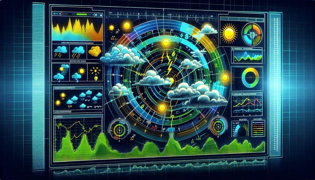
Interpreting radar data involves analyzing various parameters like reflectivity, velocity, and dual-polarization to accurately assess weather conditions. Reflectivity helps us understand precipitation intensity, revealing how much rain, snow, or hail is present. Higher reflectivity values indicate heavier precipitation.
Velocity data shows us the movement of precipitation particles, which is vital for storm movement analysis. This data helps us determine wind patterns and potential rotation within a storm, essential for identifying severe weather conditions like tornadoes.
Dual-polarization radar further refines our understanding by sending and receiving both horizontal and vertical pulses. This technique allows us to differentiate between types of precipitation, such as rain, snow, or hail, and even identify non-meteorological objects like birds or debris.
By combining these parameters, we generate extensive radar data visualization, enabling us to interpret complex weather scenarios.
Through radar data visualization, we can track storm movement and predict future paths with greater accuracy. We also identify weather patterns associated with different types of storms. By analyzing these patterns, we gain insights into storm development and decay, aiding in timely and precise weather forecasting.
This precise interpretation empowers us to make informed decisions, reinforcing our sense of freedom and safety.
Benefits for Storm Chasers
Storm chasers benefit significantly from advanced storm tracking radar technology by gaining real-time, high-resolution data necessary for making informed and timely decisions in the field. This data allows us to pinpoint storm locations, track their movements, and predict potential developments with remarkable accuracy. Such precise information enhances our ability to implement effective safety precautions, making sure we can avoid hazardous conditions while still capturing valuable data.
With high-resolution radar imagery, we're able to identify specific storm features like rotation and updrafts, which are crucial in anticipating tornado formation. This capability doesn't just improve our safety; it also boosts the quality of our data collection, contributing to broader meteorological research.
Effective communication strategies are another cornerstone of storm chasing. Leveraging the latest radar technology, we can share real-time updates and alerts with team members and other chasers. This synchronization ensures everyone remains informed about the storm's trajectory and intensity, enhancing collective safety.
Moreover, this technology supports better coordination with emergency services, allowing us to relay essential information that can aid in public safety and disaster response. Essentially, advanced storm tracking radar technology empowers us to chase storms with greater precision, safety, and collaborative efficiency.
Frequently Asked Questions
How Do Different Weather Conditions Affect Radar Performance?
Weather conditions impact radar performance to a great extent. Radar sensitivity varies with different weather conditions. For instance, radar accuracy decreases in heavy precipitation types, while light rain or snow can still provide reliable data without much interference.
What Are the Main Limitations of Storm Tracking Radar?
Did you know 60% of radar signals can scatter in heavy rain? Our main limitations include radar resolution and accuracy, and data processing limitations. These factors can greatly impact our storm tracking precision and overall weather forecasting.
How Is Radar Data Integrated With Other Weather Monitoring Systems?
We integrate radar data with other weather monitoring systems through data integration, leveraging technology advancements. Combining satellite imagery, ground sensors, and computer models, we achieve precise forecasts, empowering us to make informed decisions and maintain our freedom from unpredictable weather.
Can Storm Tracking Radar Predict Tornadoes Accurately?
Like a vigilant guardian, storm tracking radar enhances tornado detection, but it doesn't predict them with perfect accuracy. It uses precise algorithms and data integration, yet unpredictability in weather patterns can still limit precise tornado forecasting.
What Advancements Are Being Made in Radar Technology?
We're witnessing breakthroughs in radar resolution and Doppler technology. Higher resolution offers more precise storm imagery, while advanced Doppler tech provides better wind speed and direction data. These advancements empower us with greater predictive accuracy and situational awareness.

