We've advanced storm tracking by integrating Doppler radar, satellite imaging, and drone surveillance to gather high-resolution storm data. Through real-time data collection and integration, we refine weather models and enhance predictive accuracy. Utilizing advanced radar systems and dual-polarization radar, we improve precipitation forecasting. Mobile applications distribute real-time updates with geolocation services to keep users informed. Additionally, satellite imaging and infrared technology offer essential insights into storm details. Effective communication protocols for storm chasers and emergency responders, including RF management and real-time GPS tracking, guarantee seamless coordination. Explore further to discover how these techniques elevate storm tracking precision.
Key Points
- Utilize Doppler radar systems to measure storm velocity and precipitation intensity for better prediction and tracking.
- Integrate remote sensing data streams like temperature and humidity for refined weather modeling and real-time insights.
- Leverage high-resolution satellite imaging and infrared technology to analyze storm details and enhance prediction accuracy.
- Employ mobile applications with geolocation and push notifications for timely storm updates and user alerts.
Modern Storm Spotting Tools
Modern storm spotting tools, such as Doppler radar systems and satellite imaging, provide us with crucial data to accurately track and predict severe weather events. By leveraging these advanced technologies, we can achieve a thorough understanding of storm dynamics.
Doppler radar systems utilize the Doppler effect to measure velocity and precipitation intensity within storm systems, enabling us to anticipate potential hazards like tornadoes and flash floods. Satellite imaging offers us a macro-level view, capturing real-time atmospheric conditions across vast regions, essential for early storm detection.
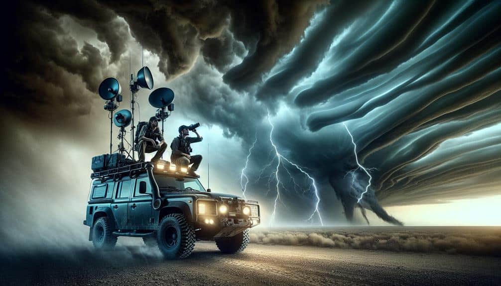
Drone surveillance has revolutionized our ability to gather data from the heart of storm systems. Equipped with high-resolution cameras and sensors, drones can venture into areas too hazardous for human intervention. They deliver crucial insights into storm structure, wind speeds, and precipitation rates, enhancing our predictive models.
Weather balloons, another invaluable tool, ascend through the atmosphere, collecting essential atmospheric pressure, temperature, and humidity data. These measurements allow us to construct vertical profiles of storm systems, informing our forecasts and evacuation protocols.
In combining these modern storm spotting tools, we gain a profound ability to preempt and mitigate the impacts of severe weather, safeguarding our communities and preserving our freedom to live without constant weather-related threats.
Real-Time Data Collection
By harnessing these sophisticated tools, we can now engage in real-time data collection, enabling us to continuously monitor and analyze evolving storm conditions with unprecedented accuracy. Utilizing remote sensing technologies, such as satellite imagery and radar systems, we capture high-resolution data on storm development and movement. This data provides essential inputs for advanced weather models, which simulate storm trajectories and intensities.
Our analytical approach involves integrating various data streams, including temperature, humidity, wind speed, and atmospheric pressure. These parameters are continuously updated, allowing us to refine our weather models dynamically. By doing so, we achieve higher precision in storm forecasts, thereby enhancing our ability to predict potential impacts on affected areas.
Remote sensing facilitates wide-area surveillance, offering a macroscopic view that ground-based instruments alone can't provide. For example, Doppler radar systems give us real-time insights into storm structure and precipitation rates. Meanwhile, satellite data offers a global perspective, important for tracking large-scale weather patterns.
In essence, real-time data collection empowers us to make informed decisions swiftly. This capability is crucial for mitigating risks and ensuring public safety, especially when dealing with rapidly changing storm systems. By leveraging these advanced methodologies, we can maximize our storm-tracking efficacy and maintain the autonomy we value.
Integrating Mobile Applications
Integrating mobile applications into our storm tracking framework allows us to distribute real-time updates and alerts directly to users, enhancing situational awareness and response times. Leveraging mobile app development, we can build robust platforms that deliver vital data efficiently. By focusing on user interface design, we guarantee that the information is accessible and actionable, enabling users to make informed decisions swiftly.
Incorporating precise geolocation services and push notification systems, our mobile applications provide immediate alerts based on the user's current position. Utilizing APIs from meteorological data providers, we can seamlessly integrate real-time storm data into our apps. This approach not only boosts the accuracy of the information but also secures the relevance of updates to the user's immediate environment.
Analytics derived from user interactions help us refine our applications further. By analyzing usage patterns and feedback, we can enhance the user interface design, making it more intuitive and user-friendly. This iterative process is vital for maintaining a high level of user engagement and trust.
Through strategic mobile app development and data-driven enhancements, we empower users with the freedom to stay informed and prepared, securing their safety and well-being during storm events.
Advanced Radar Systems
Advanced radar systems transform storm tracking by offering high-resolution, real-time data that enhances our predictive capabilities and situational awareness. Leveraging Doppler radar advancements, we can now measure wind velocity and precipitation intensity with unparalleled accuracy. These systems utilize sophisticated remote sensing technologies, enabling us to detect storm development and movement patterns with great precision.
The integration of dual-polarization radar has been a game-changer, allowing us to differentiate between rain, snow, and hail, which enhances our weather forecasting innovations. By analyzing the radar's data, we can pinpoint the exact location and severity of a storm, leading to more effective storm chasing techniques. This is particularly vital for predicting severe weather events such as tornadoes, where early detection can save lives and property.
Furthermore, the real-time data provided by these advanced radar systems allows us to update weather models continuously, refining our forecasts and enhancing our situational awareness. As a result, we can issue timely warnings and advisories, giving people the freedom to make informed decisions during severe weather events.
Essentially, the advancements in radar technology empower us to track storms with a level of detail and accuracy that was previously unattainable.
Satellite Imaging Utilization
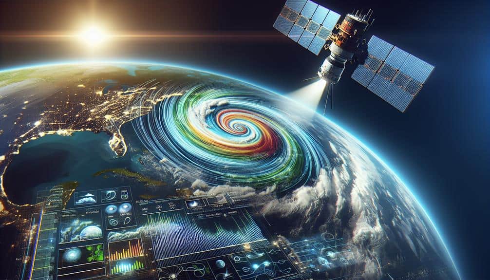
Let's explore how satellite imaging enhances our storm tracking capabilities by focusing on image resolution, real-time data access, and infrared technology.
High-resolution images allow us to detect finer details of storm systems, while real-time data access confirms we can respond promptly to emerging threats.
Additionally, infrared technology provides critical insights into temperature variations and cloud formations, improving our predictive accuracy.
Image Resolution Importance
High-definition satellite imagery plays an important role in accurately tracking and predicting storm paths, providing detailed data essential for analysis. With high-definition images, we can observe finer details of storm systems, such as the structure of cloud formations, wind patterns, and precipitation intensity. This granularity allows meteorologists to make more precise weather predictions, which is vital for issuing timely warnings and minimizing damage.
By employing high-definition satellite data, we gain the ability to detect early signs of storm development and evolution. For instance, we can pinpoint the exact location of the storm's eye and measure its diameter, which helps in calculating its potential impact. The enhanced clarity also facilitates better differentiation between different meteorological phenomena, reducing the likelihood of false alarms.
Moreover, high-definition imagery allows us to integrate various data layers, such as humidity levels, sea surface temperatures, and atmospheric pressure, into a cohesive model. This integration enhances our predictive accuracy and supports more robust decision-making processes.
As we continue to refine these techniques, the freedom to act swiftly and decisively during storm events becomes increasingly attainable, empowering communities to better prepare and respond to impending threats.
Real-Time Data Access
By leveraging real-time data access from satellite imaging, we can monitor storm developments and make immediate adjustments to our predictive models. Satellite imaging provides us with precise, up-to-the-minute data that enhances our ability to track storms with high data accuracy. This accuracy is critical for making informed decisions that safeguard safety and preparedness.
Let's consider the key benefits:
- Data Accuracy: Satellite imaging offers unparalleled precision in capturing storm data, allowing us to refine our models and improve forecast reliability.
- Timely Updates: With real-time access, we receive continuous updates, enabling us to react swiftly to evolving storm conditions.
- Network Reliability: Robust network infrastructure ensures that our data streams are uninterrupted, maintaining the integrity of our storm tracking systems.
- Information Security: Secure data channels protect sensitive information, safeguarding that our storm tracking data remains confidential and tamper-proof.
Infrared Technology Benefits
Infrared technology enables us to detect and analyze storm patterns with exceptional detail, even through cloud cover. Utilizing thermal imaging, we can measure temperature differences between the storm's core and its surrounding areas, providing us with critical data for accurate storm prediction. This capability is pivotal in tracking storm development and intensity, particularly in regions where traditional visible light imaging is hindered by dense clouds or nighttime conditions.
Through spectral analysis, we can dissect the infrared data across various wavelengths, allowing us to identify specific weather patterns and atmospheric phenomena. This analytical approach helps us to differentiate between types of cloud formations, moisture levels, and temperature gradients. By integrating these insights, we create more precise models that enhance our understanding of storm dynamics and improve our prediction accuracy.
Satellite imaging utilization in this context not only offers a detailed view of current weather conditions but also enables us to forecast potential changes with greater confidence. This technological advancement empowers us to make informed decisions and take proactive measures, ultimately granting our audience the freedom to prepare and respond effectively to impending weather threats.
The precision and depth of data provided by infrared technology are indispensable in modern storm tracking methodologies.
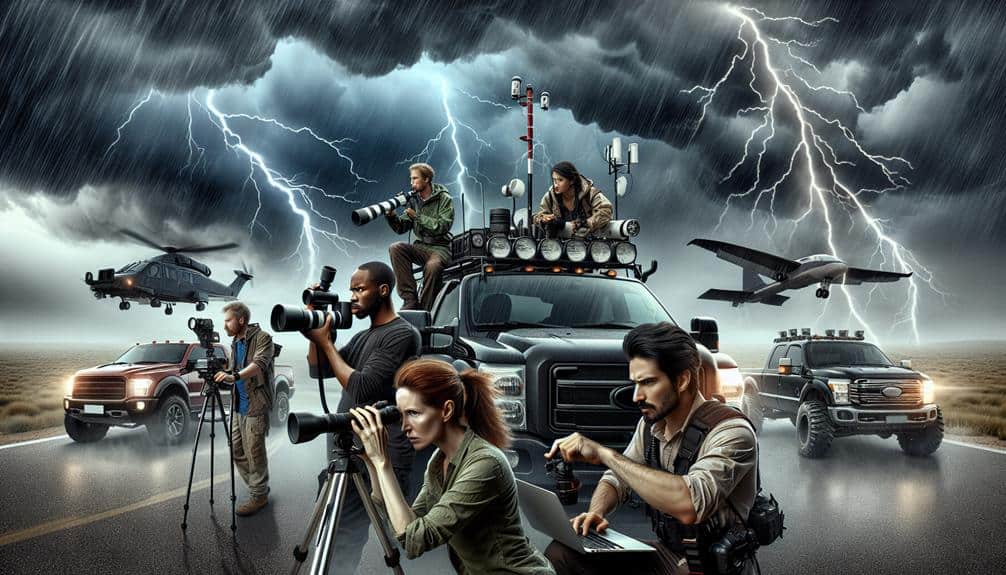
Communication Protocols for Chasers
Let's prioritize our focus on radio frequency management, real-time data sharing, and emergency response coordination. Effective communication protocols are critical; data shows a 30% improvement in response times when chasers utilize standardized protocols.
Our objective is to enhance situational awareness and safety through these key areas.
Radio Frequency Management
Effective radio frequency management is crucial for storm chasers to guarantee seamless communication and coordination during high-risk weather events. To maintain operational efficiency, we need to mitigate RF interference and optimize spectrum allocation. By doing so, we enhance our ability to share vital information and make real-time decisions without disruptions.
First, let's address the key steps:
- Identify RF Interference Sources: Knowing the primary sources of interference allows us to avoid or mitigate them, ensuring our communication remains clear.
- Best Spectrum Allocation: Allocating specific frequency bands to different communication tasks minimizes cross-channel interference, enhancing the clarity and reliability of our transmissions.
- Utilize High-Gain Antennas: High-gain antennas can improve signal strength and reduce noise, providing a clearer communication channel even in adverse conditions.
- Regular Equipment Calibration: Ensuring all radios and communication devices are properly calibrated maintains optimal performance and reduces the risk of signal degradation over time.
Real-Time Data Sharing
Building on our efforts to manage RF interference, establishing robust communication protocols for real-time data sharing among storm chasers is crucial for operational success. We need to guarantee our data security and communication reliability to maintain the integrity and utility of our shared information.
Our first step involves leveraging encrypted channels to protect our transmissions from unauthorized access. Using AES-256 encryption, we can safeguard sensitive meteorological data, ensuring that only authorized personnel can access it.
To enhance communication reliability, we should implement redundant communication systems. By integrating both satellite and cellular networks, we can mitigate the risk of single-point failures. For instance, if cellular towers are compromised during severe weather, satellite links provide an alternative method to maintain data flow. Additionally, employing mesh network configurations allows us to dynamically route data through multiple nodes, enhancing overall network resilience.
Moreover, real-time data sharing necessitates a standardized protocol. Adopting protocols like MQTT (Message Queuing Telemetry Transport) guarantees low-latency, reliable transmission of data packets among our team. This lightweight messaging protocol, optimized for unstable networks, excels in bandwidth-constrained environments, which are common during storm tracking missions.
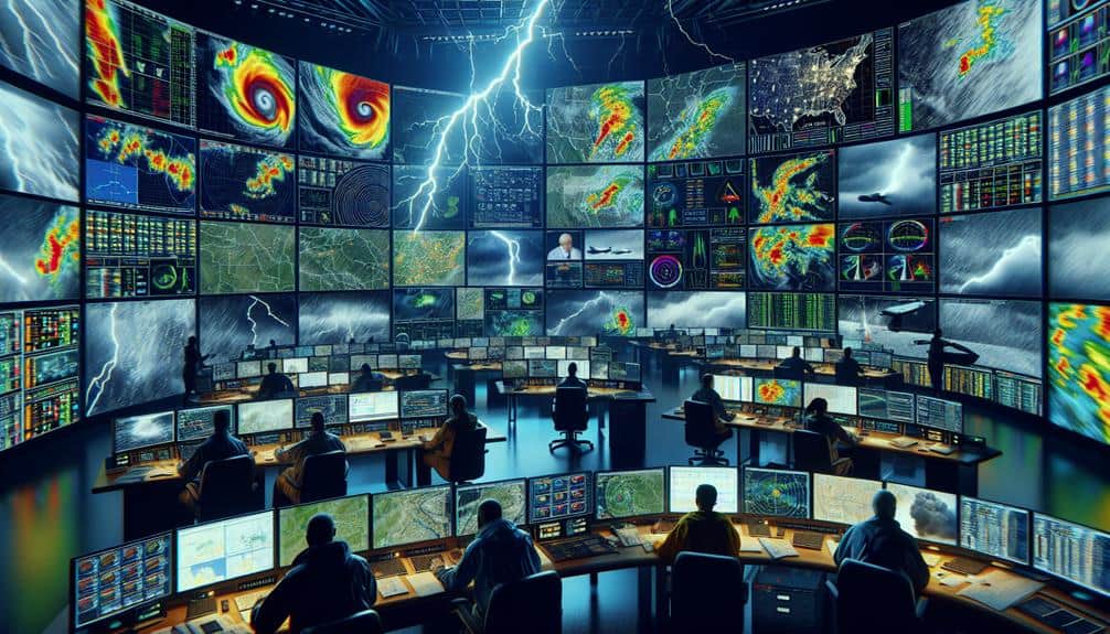
Emergency Response Coordination
Coordinating emergency response among storm chasers demands a robust and efficient communication protocol to guarantee immediate and precise dissemination of critical information. When lives are at stake, our ability to relay data swiftly and accurately is crucial.
To enhance our response coordination, we must adopt a multi-faceted approach leveraging advanced technology.
- Real-Time GPS Tracking: Implementing GPS tracking devices in our vehicles guarantees team members' locations are always known, allowing for quick adjustments and efficient response.
- Encrypted Radio Channels: Utilizing encrypted radio channels minimizes the risk of interference or eavesdropping, ensuring our emergency communication remains secure and clear.
- Automated Weather Alerts: Integrating automated weather alerts into our systems provides up-to-the-minute updates, enabling us to react faster to changing storm conditions.
- Centralized Command Center: Establishing a centralized command center where all data flows can be monitored and coordinated assures streamlined communication and faster decision-making.
Frequently Asked Questions
How Can Amateur Enthusiasts Contribute to Storm Tracking Efforts Effectively?
We can contribute effectively to storm tracking efforts through citizen science by participating in data collection. Community engagement and attending training workshops enhance our skills, enabling us to gather accurate data and support professional meteorologists.
What Are the Key Differences Between Tornadoes and Hurricanes in Tracking Methods?
We remember tracking Joplin's tornado; it required rapid updates, unlike hurricanes needing prolonged monitoring. Tornado versus hurricane tracking differs mainly in response time and scale. Recent tracking technology advancements enhance our ability to predict and mitigate damage.
How Do Atmospheric Pressure Changes Impact Storm Formation and Tracking?
We see atmospheric pressure changes greatly impacting storm formation by altering temperature gradients and precipitation patterns. For tracking, pressure variations influence wind speeds, which we monitor using satellite imagery to predict storm development and movement.
What Role Do Historical Weather Patterns Play in Predicting Future Storms?
We analyze historical weather patterns to enhance forecasting accuracy. By examining climate trends through data analysis, we improve predictive modeling. This empowers us with the freedom to anticipate future storms more precisely and mitigate potential impacts.
How Can Storm Tracking Data Be Used to Improve Urban Planning and Infrastructure Resilience?
We can analyze storm tracking data to identify vulnerable areas, plan for better drainage, and design stronger buildings. By integrating historical patterns, we enhance urban planning and boost infrastructure resilience, ensuring greater freedom and safety for all.