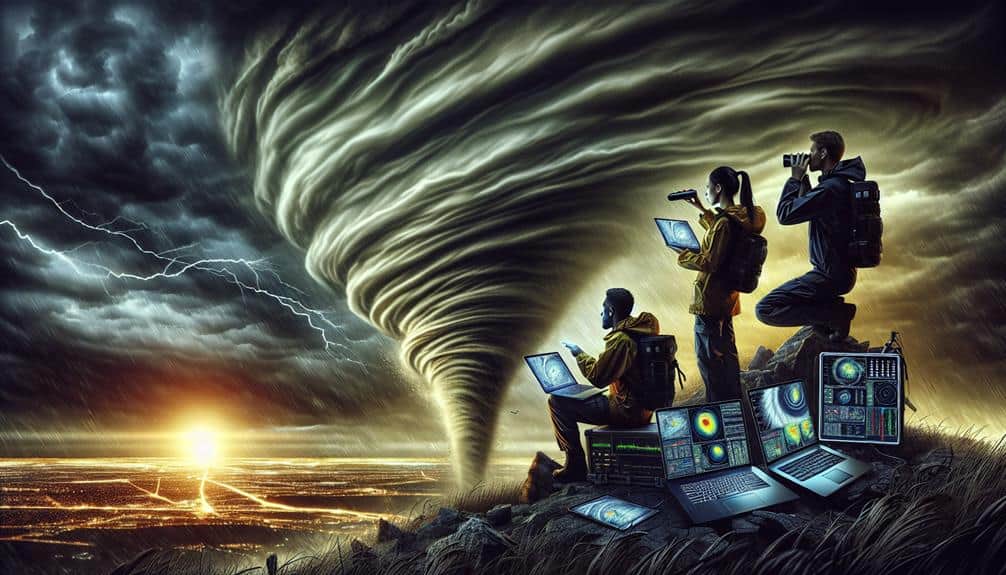
We analyze atmospheric conditions to accurately forecast storm behavior and enhance public safety. By examining temperature gradients, humidity levels, and wind shear, we identify storm potential and predict severe weather. Monitoring wind patterns, especially variations in wind shear, helps us map storm trajectories. We measure temperature variations for anomalies, track humidity levels using RH and dew point, and observe cloud formations to anticipate storms. Analyzing pressure systems reveals insights into weather patterns, while radar technology allows us to pinpoint precipitation intensity and storm structure. Continue exploring to understand the intricacies of our storm-chasing efforts.
Key Points
- Atmospheric conditions reveal storm potential, helping chasers predict severe weather events.
- Analyzing wind patterns and shear assists in mapping storm trajectories and strength.
- Temperature variations indicate atmospheric instability, aiding in storm development forecasts.
- Humidity levels provide moisture data crucial for cloud formation and storm prediction.
Identifying Storm Potential
To identify storm potential, we analyze atmospheric parameters such as temperature gradients, humidity levels, and wind shear using advanced meteorological instruments and models. Accurate storm formation and weather forecasting hinge on our ability to interpret these variables.
Temperature gradients tell us how rapidly the air temperature changes with altitude, which can indicate instability in the atmosphere. High humidity levels provide the moisture necessary for cloud formation and subsequent precipitation.
Wind shear, or the change in wind speed and direction with altitude, is essential in storm prediction. It can help us determine the likelihood of severe weather events like tornadoes or thunderstorms. By meticulously conducting atmospheric analysis, we can predict the development and path of these storms with greater accuracy.
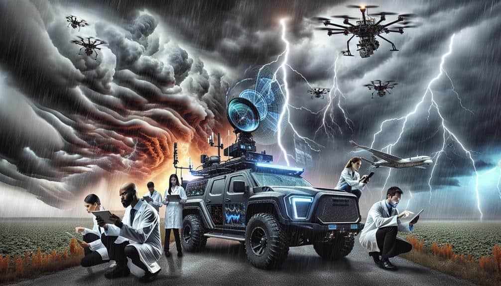
Utilizing Doppler radar, satellite imagery, and weather balloons, we gather real-time data that feeds into sophisticated computer models. These models simulate various atmospheric conditions, offering us a glimpse into potential future weather scenarios.
This data-driven approach empowers us to issue timely warnings, helping communities prepare and stay safe. By mastering these techniques, we elevate our freedom to act preemptively, safeguarding lives and property from the unpredictable forces of nature.
Monitoring Wind Patterns
As we continue our atmospheric analysis, monitoring wind patterns becomes essential for understanding weather dynamics and forecasting storm trajectories. By examining wind speed and direction, we can gain insights into atmospheric pressure trends and how they influence storm formation and progression.
Wind speed analysis allows us to assess the kinetic energy in the atmosphere, which is a key factor in identifying regions of atmospheric instability. Analyzing these patterns helps us predict potential storm paths and intensities, ensuring we can navigate safely and effectively.
Here are key elements we focus on:
- Wind shear: Variations in wind speed and direction at different altitudes can indicate the potential for severe weather.
- Jet streams: Fast-moving air currents that influence weather systems and can contribute to storm formation.
- Surface winds: Monitoring ground-level winds helps us understand local weather conditions and their impact on storm dynamics.
- Wind vectors: Analyzing the direction and magnitude of wind flow aids in mapping storm trajectories.
Measuring Temperature Variations
One vital aspect of atmospheric analysis is accurately measuring temperature variations, which play a significant role in weather prediction and climate studies. We focus on capturing temperature fluctuations using a variety of sophisticated instruments.
Thermal imaging is one such tool that allows us to visualize temperature distributions over large areas in real time. This data feeds directly into our forecasting models, enhancing their predictive accuracy.
By employing ground-based sensors, weather balloons, and satellite technology, we gather extensive temperature data. These measurements span different altitudes and geographical locations, providing a multi-dimensional view of the atmosphere.
The data analysis process involves scrutinizing these temperature readings to identify patterns and anomalies. For instance, sudden changes in temperature can indicate the development of severe weather systems, such as thunderstorms or tornadoes.
Our ability to measure and analyze temperature variations is essential for crafting accurate forecasts. Advanced forecasting models rely on high-resolution temperature data to simulate atmospheric conditions. By doing so, we gain insights that inform both short-term weather predictions and long-term climate projections.
Ultimately, this empowers us to make informed decisions and take proactive measures, ensuring safety and preparedness for the unpredictable forces of nature.
Tracking Humidity Levels
In addition to temperature, monitoring humidity levels provides key insights into atmospheric dynamics and weather patterns. By analyzing humidity, we can better understand the presence and movement of moisture in the air, which is vital for predicting storm formation and intensity. Humidity mapping allows us to visualize moisture distribution on a broad scale, enabling us to pinpoint areas where storms are likely to develop.
Effective moisture tracking involves using a combination of ground-based sensors, weather balloons, and satellite data. These tools help us gather real-time data to create detailed humidity profiles.
Here are some key aspects of humidity tracking that we focus on:
- Relative Humidity (RH): Measures the amount of moisture in the air compared to what the air can hold at that temperature.
- Dew Point: Indicates the temperature at which air becomes saturated and condensation begins.
- Precipitable Water (PW): Quantifies the total atmospheric water vapor contained in a vertical column.
- Humidity Gradient: Identifies changes in moisture levels over a specific distance, helping to locate fronts and boundaries.
Observing Cloud Formations

By examining cloud formations, we can gain vital insights into atmospheric stability, precipitation potential, and weather system dynamics. When we classify clouds, we're essentially deciphering a natural barometer that guides our weather forecasting efforts.
For example, cumulus clouds often indicate fair weather, while cumulonimbus clouds are harbingers of severe thunderstorms and even tornadoes.
In meteorological research, cloud classification serves as a fundamental tool. Stratocumulus clouds may signal a stable atmosphere, whereas towering cumulonimbus formations often suggest instability, essential for storm prediction. Using satellite imagery and ground observations, we can monitor cloud development in real-time, allowing us to refine our forecasts and issue timely warnings.
Cloud formations provide us with data points on moisture content, vertical wind shear, and updraft strength. By analyzing these variables, we can better predict storm initiation and development. For instance, anvil-shaped cirrus clouds spreading from a cumulonimbus base can indicate the presence of strong upper-level winds.
In our pursuit of understanding and predicting severe weather, observing cloud formations is indispensable. It's not just about looking at the sky; it's about interpreting the atmospheric story each cloud tells, enhancing our ability to predict and prepare for impending storms.
Analyzing Pressure Systems
Let's examine pressure systems to predict weather patterns and identify potential storms. High-pressure systems often correlate with clear, stable conditions, while low-pressure systems can indicate turbulent weather.
Predicting Weather Patterns
Understanding how pressure systems impact weather patterns is vital for accurate meteorological predictions. By examining high and low-pressure systems, we can identify and track climate patterns, providing valuable insights for weather forecasting. This helps us adapt to the impacts of climate change and ensures our preparedness for imminent weather events.
Pressure systems, both high (anticyclones) and low (cyclones), are essential in determining weather conditions. High-pressure systems typically bring clear skies, while low-pressure systems are often linked to storms and precipitation. To predict weather patterns accurately, we need a thorough understanding of these dynamics.
To enhance our predictions, we analyze several key factors:
- Pressure gradients: The rate of pressure change over a specific distance, which influences wind speed and direction.
- Thermodynamic stability: The atmosphere's resistance to vertical motion, affecting cloud formation and precipitation.
- Temperature differentials: Variations in temperature across regions, which drive the movement of air masses.
- Humidity levels: The amount of moisture in the air, crucial for predicting precipitation.
Identifying Potential Storms
To identify potential storms, we focus on analyzing pressure systems, particularly the development and movement of low-pressure areas. These regions are essential because they act as breeding grounds for storm formation, influencing wind patterns, humidity, and temperature gradients. By understanding these variables, we can refine our storm prediction models and enhance our storm chaser techniques.
We employ atmospheric data collection methods such as satellite imagery, weather balloons, and ground-based radar to monitor these pressure systems. Satellite imagery provides a broad overview of cloud formations and atmospheric moisture, while weather balloons deliver vertical profiles of temperature, humidity, and wind speed. Ground-based radar, on the other hand, offers high-resolution data on precipitation and storm structure.
Low-pressure systems often bring ascending air, which cools and condenses to form clouds and precipitation. By tracking the trajectory and intensity of these systems, we can anticipate areas at higher risk for severe weather events. Our storm prediction efforts are therefore grounded in meticulous data analysis and real-time atmospheric observations.
Ultimately, our ability to identify potential storms hinges on our proficiency in analyzing these pressure systems. This not only empowers us to chase storms more effectively but also contributes to public safety and scientific understanding.
Utilizing Radar Technology

Let's explore how radar technology enhances our ability to track storm movement and identify severe weather.
By emitting radio waves and analyzing their reflections, we can pinpoint precipitation intensity and storm structure with high accuracy.
This data enables us to issue timely warnings and improve predictive models.
Tracking Storm Movement
Leveraging radar technology, we can accurately track storm movement by analyzing real-time data on precipitation patterns and wind velocities. This enables us to refine storm prediction models, giving us a clearer understanding of storm development and its potential impacts. By using radar, we can monitor various atmospheric conditions that are pivotal for weather tracking.
Radar systems provide a wealth of data that help us make informed decisions:
- Precipitation Intensity: Measures the rate of rainfall or snowfall, indicating the severity of the storm.
- Wind Velocity: Detects wind speed and direction, essential for understanding storm movement.
- Storm Structure: Reveals the internal organization of a storm, highlighting areas of potential intensification.
- Echo Tops: Identifies the height of the storm, offering insights into its strength and potential for severe weather.
Identifying Severe Weather
Building on our understanding of storm movement, we can identify severe weather conditions by analyzing specific radar signatures that indicate phenomena like hail, tornadoes, and intense thunderstorms. By utilizing Doppler radar technology, we examine reflectivity and velocity data to pinpoint severe weather. Reflectivity data helps us detect precipitation intensity, while velocity data reveals wind patterns within the storm.
To enhance storm prediction, we look for radar signatures such as the hook echo, indicating potential tornadoes, and bounded weak echo regions (BWER), suggesting strong updrafts related to severe thunderstorms. The presence of a hook echo, combined with rotational velocity patterns, signals the likelihood of tornadic activity. On the other hand, high reflectivity values in conjunction with a BWER indicate the presence of large hail.
Atmospheric analysis through radar technology allows us to monitor evolving atmospheric conditions. We can assess the vertical structure of storms by examining dual-polarization radar data, which differentiates between types of precipitation.
This thorough analysis aids in issuing timely alerts and warnings, empowering individuals to make informed decisions and take protective actions. Ultimately, understanding these radar signatures is vital for accurate storm prediction and safeguarding our communities from severe weather.
Frequently Asked Questions
What Safety Precautions Do Storm Chasers Take While in the Field?
We follow strict emergency protocols, wear protective gear, and utilize real-time data analysis to guarantee our safety. Our team constantly monitors atmospheric conditions, enabling immediate response to potential hazards and maintaining our freedom to chase storms.
How Do Storm Chasers Communicate With Each Other During a Chase?
Just like Apollo mission teams, we use advanced communication methods and technology for team coordination. Our strategies include real-time GPS, radio frequencies, and mobile apps, ensuring data accuracy and freedom to adapt swiftly during a chase.
What Kind of Training Is Required to Become a Storm Chaser?
To become storm chasers, we require rigorous meteorology training combined with extensive field experience. This training helps us grasp atmospheric data and weather patterns, enabling us to safely and effectively track severe weather phenomena while maintaining our freedom in the field.
How Do Storm Chasers Fund Their Expeditions?
We fund our expeditions through various fundraising methods and sponsorship opportunities. Our financial planning includes meticulous budgeting strategies to guarantee we maximize resources and minimize expenses, allowing us to continue our pursuit of scientific discovery and adventure.
We've experienced adrenaline rushes and close calls, survived unexpected encounters, and dealt with equipment failures. Each chase is a data-driven quest for freedom, pushing our limits and bringing unforgettable memories. Our stories scientifically capture the raw power of nature.