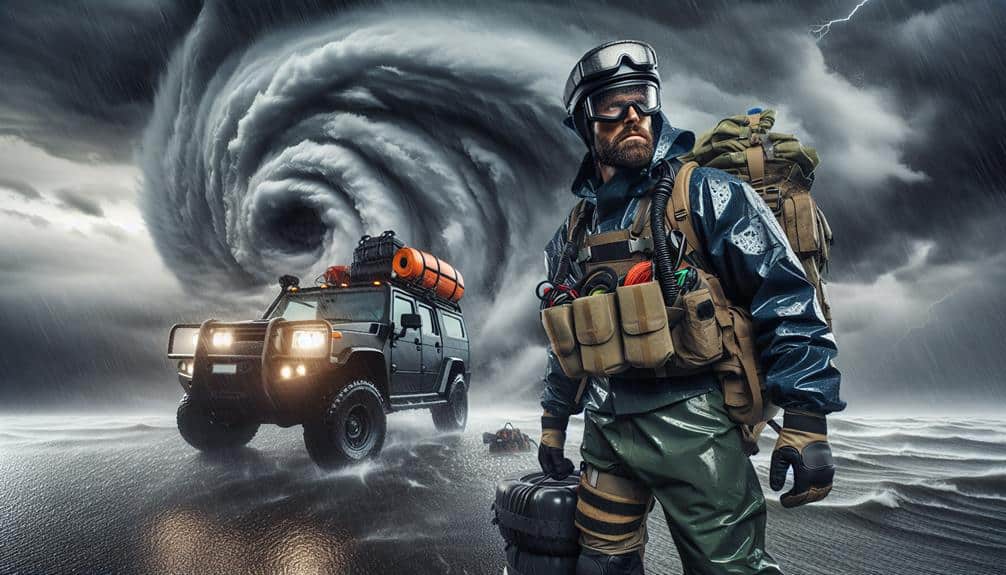
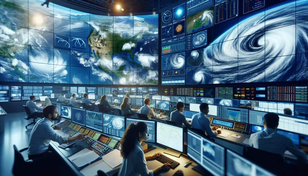
We measure hurricane intensity through several advanced techniques. We use the Saffir-Simpson Scale to categorize hurricanes based on wind speeds and potential damage. Anemometers provide precise wind data, while barometric readings analyze central air pressure drops, indicating storm strength. Satellite imagery tracks cloud patterns and storm movements in real-time, and Doppler radar offers detailed wind and precipitation data. These techniques, combined with sophisticated models and algorithms, enhance our predictions and preparedness strategies. By exploring these technologies, we gain valuable insights into the dynamic nature of hurricanes and their potential impacts.
Key Points
- Anemometers measure sustained wind speeds critical for classifying hurricanes on the Saffir-Simpson Scale.
- Barometric readings analyze central pressure drops to evaluate hurricane intensity and predict rapid intensification.
- Satellite imagery tracks storm movement and examines cloud patterns to determine storm organization and intensity.
- Doppler radar provides high-resolution data on internal wind patterns and precipitation for detailed storm dynamics analysis.
Saffir-Simpson Scale
The Saffir-Simpson Scale categorizes hurricanes into five distinct levels based on sustained wind speeds, providing a standardized method for evaluating potential damage and storm surge. By understanding this scale, we can better prepare for the coastal impact of these powerful storms.
Category 1 hurricanes exhibit wind speeds of 74-95 mph, causing minimal damage, but still generating a storm surge of 4-5 feet. This can lead to minor coastal flooding.
As we move to Category 2, with wind speeds of 96-110 mph, the storm surge increases to 6-8 feet, resulting in more significant coastal impact, such as extensive flooding and damage to buildings and infrastructure.
Category 3 hurricanes, with wind speeds of 111-129 mph, bring about a storm surge of 9-12 feet. Here, the coastal impact is severe, with devastating flooding and structural damage.
Category 4 hurricanes, reaching 130-156 mph, cause catastrophic damage with storm surges of 13-18 feet.
Wind Speed Measurement
Accurately measuring wind speed is essential for categorizing hurricanes on the Saffir-Simpson Scale and evaluating potential impacts. We utilize anemometers as our primary instruments for this task. These devices, often mounted on buoys or aircraft, capture real-time data on wind velocity. However, the precision of anemometers is vital; any deviation can lead to significant disparities in hurricane classification and impact projections.
When analyzing wind speed, data interpretation becomes crucial. We must consider factors like instrument calibration, placement, and environmental interferences. For instance, anemometers positioned at different altitudes or proximities to the storm's eye can record varying wind speeds. To mitigate these inconsistencies, we employ multiple data collection points and cross-reference them.
Advanced models and algorithms help us refine the raw data from anemometers, ensuring we account for potential errors and biases. By integrating satellite observations and Doppler radar inputs, we enhance the reliability of our wind speed measurements. This multi-faceted approach allows us to present a more precise and thorough understanding of the hurricane's intensity.
Through meticulous attention to anemometer accuracy and rigorous data interpretation, we aim to provide precise wind speed measurements, empowering individuals and communities to make informed decisions and exercise their freedom effectively.
Air Pressure Analysis
Air pressure analysis plays an essential role in determining a hurricane's strength and potential impact. When we examine the central pressure of a hurricane, we're looking for significant pressure drops as they relate to storm intensity. The lower the pressure at the storm center, the more powerful the hurricane. Typically, a well-developed hurricane shows a pressure drop below 950 millibars.
To measure this, we use barometric readings from reconnaissance aircraft, buoys, and dropwindsondes. These tools allow us to capture real-time data from the storm center. For instance, aircraft dropwindsondes directly into the eye of the storm to gather precise measurements of atmospheric pressure, temperature, and humidity at various altitudes. This data is vital for modeling the hurricane's potential path and intensity.
Moreover, pressure drop rates are pivotal in predicting rapid intensification events. A sudden and steep decrease in central pressure often indicates a hurricane is gaining strength quickly. This information helps us issue timely warnings and prepare communities for potential impacts.
Satellite Imagery
Utilizing satellite imagery, we can observe and analyze the structural features and cloud patterns of hurricanes in real time. This technique allows us to monitor storm movement and assess atmospheric conditions with remarkable precision. By interpreting data from geostationary and polar-orbiting satellites, we gain insights into the cyclone's intensity, eye formation, and convective activity.
Our primary focus is on the cloud patterns, which reveal the organization and symmetry of the storm. Dense, well-defined bands of clouds circling the eye typically indicate a powerful hurricane, whereas disorganized clouds suggest weakening. We also analyze the storm movement by tracking the shifting positions of these cloud formations over time. This helps us predict the hurricane's path and potential impact zones.
Doppler Radar Tracking

While satellite imagery provides a broad view of hurricane structure, Doppler radar tracking offers detailed insights into wind patterns and precipitation within the storm. By leveraging Doppler radar, we can obtain high-resolution data that enhances our understanding of the hurricane's internal dynamics.
Doppler radar works by emitting radio waves and measuring the frequency shift of the returned signal. This shift, known as the Doppler effect, allows us to determine the velocity of precipitation particles, thereby inferring wind speeds and directions.
Here's how we utilize Doppler radar in hurricane analysis:
- Wind Field Analysis: We can map the wind field of a hurricane in real-time, providing essential data for storm chasers to make informed decisions.
- Precipitation Intensity: Doppler radar reveals the intensity and distribution of precipitation, aiding in predicting potential flooding events.
- Vortex Structure: By examining the radar data, we can discern the hurricane's vortex structure, important for understanding its development and potential impact.
- Storm Surge Predictions: Accurate wind and precipitation data help improve models that predict storm surges, a significant factor for coastal communities.
Frequently Asked Questions
How Does Climate Change Impact Hurricane Intensity and Frequency?
We've seen a 30% increase in major hurricanes since 1980. Climate change impacts hurricane intensity and frequency trends by warming oceans, which fuel stronger storms, and altering atmospheric conditions, leading to more frequent and severe events.
What Role Do Ocean Temperatures Play in Hurricane Formation?
Ocean temperatures greatly influence hurricane formation. Climate change, driven by human intervention, increases these temperatures, intensifying hurricanes. This affects local ecosystems, wildlife, and economic stability in affected regions, leading to profound and widespread impacts.
Can Hurricanes Be Prevented or Weakened Through Human Intervention?
Can we prevent or weaken hurricanes? Intervention efficacy remains uncertain. Prevention strategies like cloud seeding are experimental, lacking concrete data. We must consider freedom in our approach, avoiding unintended consequences while exploring scientific methods objectively.
How Do Hurricanes Affect Local Ecosystems and Wildlife?
We examine how hurricanes cause ecosystem impacts, including habitat destruction and water contamination. Wildlife displacement follows, as species are forced to relocate, leading to potential disruptions in local biodiversity and changes in population dynamics.
What Are the Economic Impacts of Hurricanes on Affected Regions?
How do hurricanes impact economies? We see infrastructure damage and recovery costs skyrocketing. Insurance claims and payouts surge, placing financial strain on companies and individuals. Economic disruptions ripple through affected regions, hindering growth and stability.

