We predict hailstorm paths accurately by utilizing advanced radar technology, satellite imaging, sophisticated weather models, machine learning, and real-time storm chasing data. Dual-polarization radar enhances precipitation type detection, while satellite imaging captures broad atmospheric changes. State-of-the-art weather models integrate various datasets, and machine learning algorithms analyze these to refine predictions. Additionally, storm chasers provide invaluable ground-level insights. This multi-faceted approach maximizes our forecasting precision, drawing from vast datasets and real-time observations. If we expand further, we can uncover how these methods complement each other for even more precise storm path predictions.
Key Points
- Radar Technology: Uses Doppler and dual-polarization radar to track real-time hailstorm formation and movement accurately.
- Satellite Imaging: Captures extensive atmospheric data to monitor cloud formation and precipitation patterns for hailstorm path predictions.
- Weather Models: Integrate radar, satellite, and ground data using algorithms to simulate and predict hailstorm behavior.
- Machine Learning: Analyzes meteorological data with techniques like neural networks to refine and enhance hailstorm path predictions.
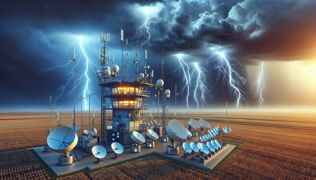
Radar Technology
Leveraging radar technology, we can accurately track the formation and movement of hailstorms in real-time. Radar systems utilize radio waves to detect precipitation, allowing us to perform precise precipitation measurement and severe weather detection. By emitting pulses and analyzing the returned signals, we can determine the location, intensity, and movement of hailstorms. This capability is essential for weather forecasting and storm tracking, providing critical data that help meteorologists predict hailstorm paths with high accuracy.
Our radar technology employs Doppler radar, which measures the velocity of precipitation particles. This data enables us to identify rotation within storm systems, a key indicator of severe weather potential, including hail. By tracking these patterns, we can issue timely warnings, giving communities the freedom to take necessary precautions.
Additionally, dual-polarization radar enhances our detection capabilities by transmitting and receiving both horizontal and vertical pulses. This differentiation allows us to better estimate precipitation type and size, improving our understanding of hail formation.
With these advanced radar systems, we provide accurate, real-time data that empowers individuals and organizations to make informed decisions, enhancing safety and preparedness in the face of severe weather events.
Satellite Imaging
While radar technology offers precise real-time tracking, satellite imaging provides a panoramic perspective by capturing extensive atmospheric data over large areas. By leveraging satellite imaging, we can analyze cloud formation and precipitation patterns on a macro scale, which is essential for predicting hailstorm paths.
Satellite sensors continuously monitor:
- Cloud formation: Identifying the development of cumulonimbus clouds, which are often precursors to severe hailstorms.
- Precipitation patterns: Evaluating moisture content and movement, enabling us to predict where hail might form and travel.
These data points allow us to create inclusive atmospheric models. High-resolution satellite images provide critical insights into the vertical structure of storm systems, revealing the potential for hail formation before it becomes apparent on radar. Additionally, satellites offer a temporal advantage, capturing data over regions where ground-based radar may not be available, ensuring no significant storm development goes unnoticed.
Weather Models
Weather models synthesize vast datasets from various sources to simulate and predict the behavior of hailstorms with remarkable precision. We've seen how predictive analytics and data analysis play pivotal roles in understanding and forecasting these severe weather events. By integrating information from radar, satellite imaging, and ground-based observations, weather models can identify the underlying climate patterns that lead to hailstorm formation.
These models utilize intricate algorithms to process the collected data, enabling us to predict hailstorm paths with a higher degree of assurance. For instance, the European Centre for Medium-Range Weather Forecasts (ECMWF) uses high-resolution models that factor in atmospheric variables such as temperature, humidity, and wind speed. This thorough approach allows for more accurate weather forecasting, which is crucial for timely warnings and mitigating potential damage.
We analyze historical climate patterns to enhance the models' accuracy further. By doing so, we can refine our understanding of the conditions that precede hailstorms. This iterative process of data analysis and model refinement guarantees that our predictive capabilities continue to evolve, providing the freedom to make informed decisions in the face of severe weather.
Machine Learning
Machine learning algorithms greatly enhance our ability to predict hailstorm paths by analyzing complex datasets and identifying patterns that traditional models might overlook. By leveraging vast amounts of meteorological data, we can develop robust predictive models that offer improved accuracy and reliability.
In our approach to data analysis, machine learning techniques allow us to process and interpret:
- Historical weather data: This provides a foundation for understanding past hailstorm occurrences and their trajectories.
- Real-time sensor data: Integrating live data streams ensures our models remain current and responsive to immediate atmospheric changes.
Algorithm development is central to this process. We employ a variety of machine learning methods, including supervised learning to train models on labeled datasets and unsupervised learning to uncover hidden patterns within the data. Techniques like regression analysis and neural networks enable us to refine our predictions iteratively, continually enhancing model performance.
Storm Chasing Data

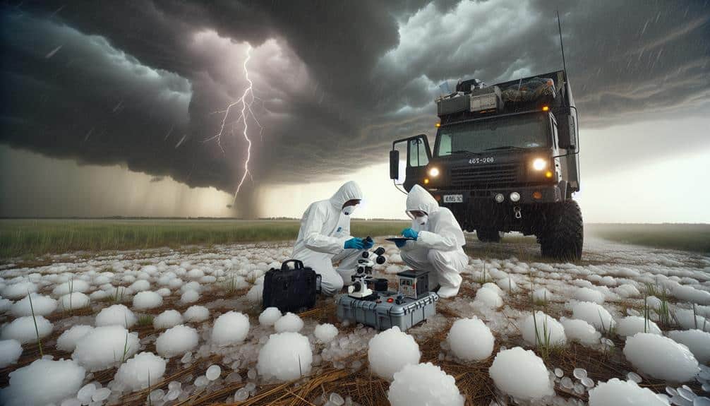
Storm chasing data provides invaluable, real-time insights that greatly enhance the accuracy of our hailstorm path predictions. By deploying storm chasers equipped with advanced meteorological instruments, we collect high-resolution data on storm dynamics, hail sizes, and wind speeds. These storm chaser insights allow us to validate and refine our predictive models, ensuring they reflect real-world conditions.
Moreover, storm chasers record GPS-tagged observations that, when combined with historical patterns, form a detailed dataset. This dataset enables us to identify recurring trends and anomalies in storm behavior. For instance, by analyzing historical patterns, we can pinpoint regions with a higher likelihood of hailstorm formation and track how storm paths have shifted over time.
We also leverage storm chaser data to assess the accuracy of radar and satellite imagery. Ground-level observations often reveal discrepancies in remote sensing data, providing critical feedback to adjust our algorithms. This iterative process enhances the precision of our hailstorm path predictions, empowering us to issue more accurate and timely warnings.
Atmospheric Soundings
Atmospheric soundings provide necessary vertical profiles of temperature, humidity, and wind, which are needed for accurate hailstorm path predictions. By launching weather balloons equipped with radiosondes, we collect vital data that helps us analyze the atmosphere's layered structure. The vertical profiles reveal temperature gradients and moisture profiles that are important for understanding potential hailstorm development.
In our analysis, we focus on several key parameters:
- Instability indices: These indices, such as the Convective Available Potential Energy (CAPE), measure the atmosphere's potential to produce severe weather, including hail.
- Wind shear: The variation of wind speed and direction with altitude is important for storm organization and longevity, impacting hailstorm paths significantly.
Ground-Based Sensors
While atmospheric soundings provide vertical insights, ground-based sensors complement this by delivering real-time, localized data on surface conditions essential for refining hailstorm path predictions. These sensors offer precise measurements of variables such as temperature, humidity, and wind speed at the surface level.
More importantly, they enable us to monitor soil moisture, which can significantly impact storm dynamics. Wet or dry soil conditions affect surface heating, impacting the energy available for storm development.
As climate change continues to alter weather patterns, the role of ground-based sensors becomes vital. Increased variability in soil moisture levels due to fluctuating precipitation patterns can lead to more unpredictable storm behaviors. By integrating data from these sensors, we can update our models more frequently and accurately, improving our short-term predictions and response strategies.
Moreover, the granularity of data obtained from ground-based sensors allows us to identify microclimates and localized anomalies that larger-scale atmospheric soundings might miss. This real-time, high-resolution data is essential for refining predictive algorithms and enhancing the accuracy of hailstorm path forecasts.
Frequently Asked Questions
How Do Hailstorms Impact Local Agriculture and Livestock?
When hailstorms hit, it's like a sledgehammer to local agriculture, causing significant crop damage and reducing yields. Livestock welfare is compromised as injuries and stress levels rise, which can lead to decreased productivity and higher mortality rates.
What Safety Measures Should People Take During a Hailstorm?
During a hailstorm, we should seek emergency shelter immediately to minimize risk. Wearing protective clothing can reduce injury from hail impact to a large extent. Data shows that these measures effectively enhance personal safety and offer greater freedom during severe weather events.
How Does Climate Change Affect the Frequency of Hailstorms?
Climate change alters weather patterns, potentially increasing hailstorm frequency. This shift complicates hailstorm prediction, requiring more advanced models. Our freedom to predict and prepare for these events hinges on understanding these evolving climatic impacts.
Are There Any Regions More Prone to Hailstorms Than Others?
We've analyzed regional patterns and found that certain areas exhibit higher hailstorm frequency due to geographic vulnerabilities. These regions, particularly in the Midwest and Great Plains, experience greater hailstorm severity, affecting local infrastructure and agriculture markedly.
Can Hailstorms Be Predicted Months in Advance?
Predicting hailstorms months in advance is like steering a ship through fog. We rely on long-term forecasting and advanced meteorological models. While accurate predictions are challenging, continuous data refinement enhances our freedom to prepare effectively.