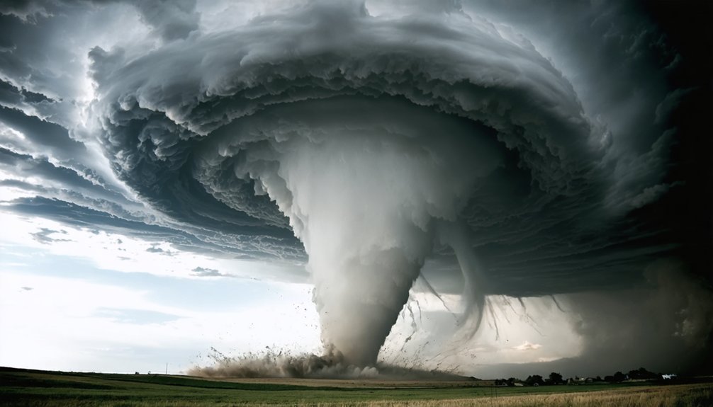
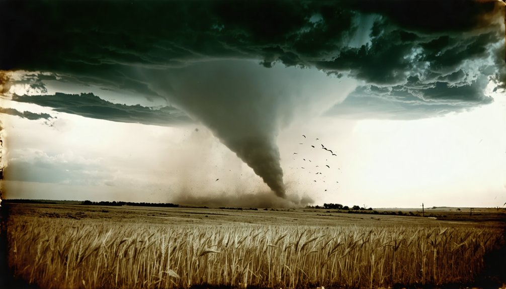
The first confirmed tornado photograph, captured on April 26, 1884, revolutionized meteorology by replacing artistic sketches with reproducible visual data. You’ll find that A.A. Adams’ Garnett, Kansas image, authenticated by the Kansas Historical Society, documented a slow-moving funnel using cumbersome box cameras with 2-10 minute glass plate exposures. This photographic evidence enabled the U.S. Weather Bureau to establish standardized documentation protocols, transforming tornado classification from anecdotal accounts into empirical measurements that eventually supported the Fujita Scale’s photogrammetric analysis—though authenticating these early images involves complex forensic techniques.
Key Takeaways
- Two photographs from April 26, 1884—A.A. Adams’ Kansas image and F.N. Robinson’s South Dakota photo—compete for earliest tornado photograph recognition.
- Early box cameras required 2-10 minute glass plate exposures on tripods, limiting photographers to documenting only slow-moving tornadoes.
- Photography shifted tornado research from artistic sketches to reproducible visual evidence, enabling systematic documentation and empirical measurements.
- Modern forensic techniques transform historical tornado photographs into quantifiable data through photogrammetric analysis and damage pattern verification.
- The U.S. Weather Bureau formalized photographic documentation protocols in the early 1900s, foundation for radar technology and Fujita Scale development.
Competing Claims for the Earliest Tornado Photograph
Two primary photographs compete for recognition as the earliest tornado image captured on film, both claiming the date of April 26, 1884, though modern analysis reveals critical discrepancies in their authenticity and timing.
You’ll find A.A. Adams’ Garnett, Kansas photograph authenticated by the Kansas Historical Society, while F.N. Robinson’s South Dakota image faces scrutiny as potentially doctored. Institutional rivalries complicate verification—NOAA originally endorsed Robinson’s claim, while the Bulletin of the American Meteorological Society supports Adams. The University of Tulsa champions Thomas Croft’s 1896 Oklahoma City photograph instead.
Technological limitations of 1880s box cameras make authentication challenging. However, Adams’ image displays cloud formations consistent with modern tornado documentation. The date confusion stems from Robinson’s actual August 28, 1884 capture, placing Adams’ April photograph four months earlier.
Box Cameras and Glass Plates: The Technology Behind Early Storm Photography
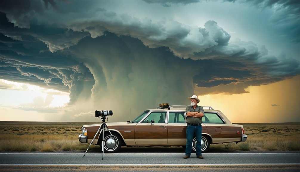
Before photographers could document tornadoes, they first had to wrestle with equipment that demanded both technical expertise and physical endurance. You’ll find that cumbersome box cameras mounted on tripods required manual assembly before each shot. Glass plates—not experimental roll film—captured images through exposure times ranging from two to ten minutes.
This technological constraint restricted early adopters like A.A. Adams and Thomas Croft to photographing slow-moving funnels. The 1884 Garnett, Kansas capture and 1896 F2 tornado five miles northwest of Oklahoma City demonstrate how mobile limitations determined success. Each photographer needed steady positioning, manual plate preparation, and stationary tornado formations.
From Illustration to Evidence: How Photography Transformed Tornado Research
You’re witnessing a fundamental shift in meteorological methodology when photography replaced subjective artistic renderings with reproducible visual data.
The U.S. Weather Bureau incorporated photographic evidence into damage assessment protocols by the 1890s, establishing standardized documentation procedures that transformed tornado classification from anecdotal reports to empirical measurements.
This change enabled researchers to compare storm characteristics across multiple events, creating the first systematic database for pattern analysis and intensity scaling.
Visual Documentation Replaces Descriptions
The shift from artistic interpretation to photographic evidence fundamentally altered meteorologists’ capacity to document and analyze tornadoes. Before A.A. Adams’ 1884 breakthrough, you’d find only subjective drawings and unverifiable accounts limiting scientific analysis. Photography eliminated these photographic limitations by providing objective visual data that multiple researchers could independently examine.
You could now correlate damage surveys with actual storm structure rather than relying on witnesses’ artistic interpretation.
Adams’ cabinet card and stereograph formats established precedent for systematic documentation. When George Alford photographed the 1907 Wills Point tornado, the U.S. Weather Bureau recognized photography’s superiority over written descriptions. You gained quantifiable evidence enabling retrospective Fujita scale ratings decades later.
This transformation liberated meteorology from subjective observation, establishing photography as your essential tool for understanding atmospheric phenomena through verifiable, reproducible evidence.
Standardizing Weather Bureau Protocols
Although George Alford’s 1907 Wills Point photographs demonstrated photography’s analytical power, bureaucratic restrictions prevented meteorologists from fully leveraging visual evidence in tornado prediction protocols. You’ll find that Weather Bureau regulations from 1905 through 1934 explicitly prohibited tornado forecasts, forcing forecasters to use euphemisms like “severe local storms.” These evolving protocols stemmed from prediction uncertainty and panic concerns, blocking standardization efforts until 1948.
When Tinker Air Force Base meteorologists successfully warned personnel before a devastating tornado struck, public reaction demanded policy reform. By 1950, the Bureau chief authorized discretionary tornado mentions in forecasts. This shift enabled the 1952 creation of specialized forecasting units and the 1953 Severe Local Storm Warning Service, finally liberating meteorologists to integrate photographic evidence into systematic prediction frameworks.
Authenticating Historical Tornado Images Through Modern Analysis
When authenticating historical tornado photographs, researchers employ systematic methods that combine physical evidence with modern analytical tools to verify image legitimacy and extract scientific data.
You’ll find photogrammetric techniques applied to high-quality films, enabling wind speed calculations and multi-vortex structure identification. Forensic damage analysis cross-references images with GPS-verified damage points, aerial photographs, and documented structural surveys. Researchers corroborate eyewitness accounts through independent verification and multiple sources, examining newspaper clippings and barometer readings like the 671 mm mercury measurement recorded beneath a tornado center.
Modern reanalysis locates original structures—schools, churches, rural buildings—to precisely position historical tracks. This systematic approach transformed early photographs, such as George Alford’s 1907 Wills Point images, from simple documentation into quantifiable scientific evidence that established standardized tornado analysis protocols.
The U.S. Weather Bureau Adopts Photography as Standard Research Practice
You’ll find the Weather Bureau’s shift to standardized photographic documentation emerged from mounting visual evidence between 1884 and 1896, when pioneers like Adams and Croft demonstrated photography’s capacity to record tornado structure and damage paths.
The Bureau formalized protocols by integrating photographs into tornado survey methodologies during the early 1900s, building on John P. Finley’s foundational studies from the 1870s-1880s. This systematic adoption transformed atmospheric observation from descriptive reports and signal flags into an empirical framework where glass plate images verified storm intensity, funnel characteristics, and meteorological conditions.
Formalized Photo Documentation Protocols
The June 1907 U.S. Weather Bureau’s Wills Point tornado survey established photography’s critical role in damage analysis, yet formalized protocols didn’t emerge until mid-century. You’ll find that post-1950 policy shifts enabled systematic integration of visual evidence into forecasting operations.
The 1953 radar hook echo discovery complemented photographic methods, while NOAA’s 1969-1973 Doppler radar documentation captured complete tornado life cycles.
The 1971 Fujita Scale introduction crystallized photography’s scientific value through photogrammetric analysis techniques that calculated wind speeds from visual damage evidence. By the 1980s, you’d see mobile Doppler systems revolutionizing field documentation by integrating radar data with photographs.
Key protocol developments included:
- Standardized damage survey photography for intensity ratings
- Photogrammetric wind speed calculations from structural damage
- Radar echo verification through visual documentation
- Mobile observation units combining multiple data streams
Tornado Survey Integration Methods
Protocol standardization laid groundwork for thorough integration systems that would fundamentally reshape tornado research methodology. You’ll find modern surveys combine multiple data streams—Doppler radar velocity measurements merge with mobile mesonets for high resolution data across affected regions. These surface-level instruments capture temperature, pressure, humidity, and wind readings that ground-based radar can’t detect.
UAS captured imagery of tornado damage connects atmospheric observations with destruction patterns, as demonstrated during the Rolling Fork EF4 documentation in 2023. Machine learning algorithms now process satellite data identifying overshooting tops and anvil plumes, validating radar-detected rotation. Three-dimensional variational systems automatically analyze supercell structures at one-kilometer resolution every five minutes, transforming raw observations into actionable intelligence that enhances warning capabilities and scientific understanding.
Early 1900s Implementation Timeline
Although the first known tornado photograph captured a funnel near Howard, South Dakota on August 28, 1884, the U.S. Weather Bureau didn’t integrate photography into standard research practice until the mid-1950s. You’ll find this delay stemmed from institutional priorities—the Bureau maintained public forecast restrictions well into the 1900s, favoring telegraphic reports over visual documentation despite photography’s research applications.
Implementation milestones you should understand:
- 1910s observers used portable cameras informally without Bureau guidelines
- 1920s damage surveys incorporated photos ad hoc, lacking systematic protocols
- 1930s field training encouraged documentation, though observational limitations persisted
- 1948-1950 forecast policy shifts accelerated formal adoption
The Bureau’s archives accumulated tornado images throughout these decades, but standardization required overcoming bureaucratic resistance. By 1953, photographic evidence complemented emerging radar technology, finally establishing visual documentation as essential scientific methodology.
Challenges in Verifying 19th Century Meteorological Photographs
When nineteenth-century photographers attempted to document tornadoes, they confronted technical constraints that fundamentally compromised image authenticity. Glass plate cameras demanded long exposures that blurred rotating vortices, while cumbersome equipment prevented rapid deployment.
You’ll find that commercial incentives clouded photographic integrity—F.N. Robinson’s 1884 South Dakota image likely combined multiple plates for dramatic effect. Forensic image verification remains nearly impossible without original negatives.
Thomas P. Grazulis identified doctoring in Howard’s three-cyclone photograph, once celebrated as groundbreaking documentation. Yet A.A. Adams’s 1884 Kansas tornado photograph withstood scrutiny through obituaries and journal verification. NOAA’s cautious shift from “earliest known” to “one of the first” reflects persistent uncertainty.
These authentication challenges demonstrate how profit motives and technological limitations systematically undermined early meteorological documentation, restricting your access to verified historical data.
Frequently Asked Questions
How Did Early Photographers Predict When Tornadoes Would Occur to Capture Them?
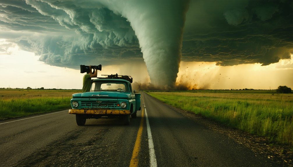
You couldn’t predict tornadoes then—no weather forecasting advancements or storm chasing techniques existed pre-1900. You’d simply witness approaching funnels, react quickly with your camera, and capture opportunistic shots through direct observation rather than planned pursuits.
What Happened to the Original Glass Plates From the Earliest Tornado Photographs?
You’ll find limited documentation exists about these plates’ fate. Photographic preservation challenges and glass plate storage concerns weren’t priorities then. Most early tornado photograph originals have vanished, though some institutions may hold copies without verified provenance.
Did Tornado Photographers Face Legal Liability for Risking Their Lives While Documenting Storms?
Early tornado photographers faced minimal legal considerations compared to modern operators. You’d encounter public safety concerns primarily through FAA penalties and reckless operation charges today, but historical documentarians operated without such regulatory frameworks constraining their storm documentation efforts.
How Much Did Early Tornado Photographs Sell for as Cabinet Cards or Stereographs?
You’ll find limited pricing data exists, but early tornado photographs typically sold for $0.25-$2.00 as stereographs and $0.50-$5.00 as cabinet cards, depending on market demand for tornado photographs and evolving photographic techniques affecting production costs.
Were Any Early Tornado Photographers Injured or Killed While Attempting to Document Storms?
No documented injuries or fatalities exist among 19th-century tornado photographers. However, you’ll find they faced severe camera risks and personal safety concerns operating without warning systems, relying on luck and stationary positioning rather than systematic storm-tracking methods available today.