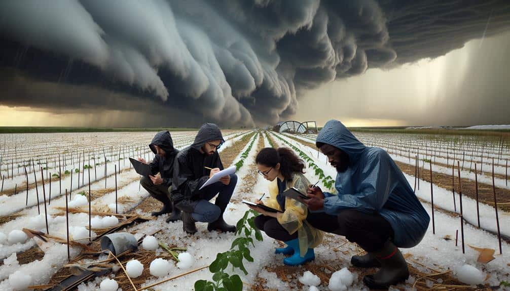
We're seeing a revolution in hailstorm research fueled by cutting-edge advancements. Dual-polarization radar systems provide precise hailstone characteristics, enhancing prediction accuracy and timely warnings. High-resolution satellites offer detailed monitoring and real-time tracking of hailstorm progression. Drones collect granular atmospheric data, enabling precision mapping and storm structure models. Machine learning models analyze vast datasets, identifying patterns and developing adaptive predictive tools. Real-time data collection through remote sensing accelerates analysis and decision-making, supporting dynamic response strategies. Each advancement not only improves our predictive capabilities but also mitigates the impact of hailstorms, promising a deeper understanding ahead.
Key Points
- Dual-polarization radar technology enhances hailstone characteristic measurements for more accurate weather predictions.
- High-resolution satellites provide detailed monitoring and real-time tracking of hailstorm formation and movement.
- Drones collect granular atmospheric data, enabling precision mapping and improved storm behavior models.
- Machine learning models analyze vast data sets to predict storm behavior and identify patterns.
Advanced Radar Systems
Advanced radar systems have revolutionized our ability to detect and analyze hailstorms with greater accuracy and speed. By utilizing dual-polarization technology, we can measure the size, shape, and density of hailstones, providing invaluable data for weather prediction. This precision allows us to identify the onset of hailstorms earlier and issue timely warnings, granting communities the freedom to take protective measures.
Moreover, advancements in radar systems contribute significantly to climate monitoring. By continuously tracking and recording hailstorm activity, we can analyze long-term patterns and trends. This data is vital for understanding how climate change impacts hailstorm frequency and intensity. It also aids in refining predictive models, ensuring they're more accurate and reliable.
We've also seen improvements in real-time data processing capabilities. Modern radar systems can now process vast amounts of data swiftly, offering near-instantaneous insights into hailstorm development. This rapid analysis is essential for emergency response teams, enabling them to act decisively and mitigate damage.
High-Resolution Satellites
High-resolution satellites provide unprecedented detail in monitoring hailstorm formation and movement, enhancing our predictive capabilities. By leveraging advanced satellite imagery, we can now capture weather patterns with remarkable clarity and accuracy. These satellites enable us to analyze atmospheric conditions in real-time, identifying the early stages of hailstorm development.
Using data from high-resolution satellites, we can track the progression of hailstorms across vast regions. This real-time monitoring allows us to predict the path and intensity of hailstorms more accurately than ever before. For instance, by examining cloud structure and temperature variations from satellite imagery, we can anticipate hailstone size and distribution with greater precision.
Furthermore, the integration of satellite data with existing meteorological models refines our understanding of weather patterns. This synergy enhances our ability to issue timely warnings and reduce the potential for damage to property and crops. High-resolution satellites also facilitate long-term climate studies, helping us identify trends and anomalies in hailstorm activity over time.
In essence, the deployment of high-resolution satellites marks a significant leap forward in hailstorm research. By providing detailed, real-time data, these satellites empower us to make informed decisions, ensuring our safety and preserving our freedom to live without fear of unexpected weather calamities.
Drone Technology
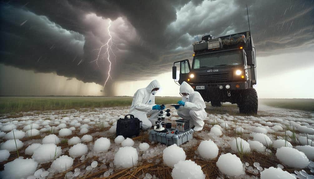
Drone technology revolutionizes our ability to collect granular data on hailstorm dynamics, offering new perspectives that ground-based and satellite systems can't provide. By deploying drones equipped with advanced sensors, we can perform detailed weather monitoring in real-time, capturing high-resolution atmospheric data that greatly enhances our understanding of hailstorm formation and behavior.
With precision mapping capabilities, drones can navigate directly through hailstorm cells, measuring variables such as temperature, humidity, wind speed, and hail size at various altitudes. These measurements help us create accurate three-dimensional models of storm structures, which are essential for improving predictive weather models. The ability to collect data from within the storm itself, rather than from a distance, allows us to observe micro-scale processes that were previously inaccessible.
Moreover, the flexibility and maneuverability of drones enable rapid deployment in response to developing weather conditions. This immediacy is invaluable for capturing transient phenomena that traditional methods might miss. By automating data collection and analysis, drones reduce human exposure to hazardous conditions, promoting safety while increasing the quantity and quality of data gathered.
In essence, embracing drone technology in weather monitoring and precision mapping empowers us to access new insights into hailstorm dynamics, ultimately advancing our capability to predict and mitigate hailstorm impacts.
Machine Learning Models
Machine learning models have transformed our ability to analyze vast amounts of hailstorm data, offering new methodologies for predicting storm behavior with unprecedented accuracy. By leveraging predictive analytics, we can now process historical and real-time data to identify patterns and trends that were previously undetectable.
These models analyze variables such as temperature, wind speed, and atmospheric pressure, enabling us to forecast hailstorm occurrences with a high degree of precision.
Our implementation of machine learning algorithms allows us to develop sophisticated data visualization tools. These tools not only provide a graphical representation of the data but also help in interpreting complex datasets, making it easier for meteorologists to understand and act upon the insights generated.
The integration of machine learning in our predictive analytics framework empowers us to create dynamic models that continuously learn and adapt, improving their accuracy over time.
Moreover, the ability to visualize data in real-time fosters a proactive approach in hailstorm research, granting us the freedom to make informed decisions quickly. As we refine these technologies, we move closer to mitigating the impact of hailstorms, safeguarding communities, and enhancing our overall predictive capabilities.
Real-Time Data Collection

Leveraging our advanced machine learning models, real-time data collection accelerates our ability to monitor and analyze hailstorm events as they unfold. By integrating remote sensing technologies, we gain instantaneous insights into storm dynamics, which allows us to make real-time decisions and predictions. This immediacy in data collection is pivotal for enhancing the accuracy of our forecasts and mitigating potential damage.
Our use of remote sensing tools such as satellites and ground-based radar systems provides us with high-resolution data. These tools capture critical parameters like hailstone size, storm velocity, and precipitation intensity. Once collected, this data undergoes rigorous analysis through our sophisticated algorithms, enabling us to detect patterns and predict hailstorm behavior with unprecedented precision.
Incorporating real-time data collection into our research framework empowers us to respond dynamically to evolving weather conditions. This capability not only advances our scientific understanding but also supports the development of more effective warning systems. As a result, communities gain the freedom to prepare and protect themselves against impending hailstorms, reducing both economic losses and human impact.
Frequently Asked Questions
How Can Improved Hailstorm Prediction Benefit Agriculture?
Imagine the freedom to anticipate and mitigate agricultural impacts—improved hailstorm prediction, driven by enhanced forecasting accuracy, empowers us to protect crops, optimize harvests, and reduce losses, thereby securing food supplies and boosting economic resilience in farming communities.
What Role Does Climate Change Play in the Frequency of Hailstorms?
We've observed that climate change influences hailstorm frequency, increasing occurrences in certain regions. Data indicates a correlation between rising temperatures and atmospheric instability, leading to more severe weather events. Let's analyze these trends to better understand future impacts.
Are There Any International Collaborations in Hailstorm Research?
Global partnerships are the lifeblood of hailstorm research. We've seen remarkable technology sharing and data exchange through international research collaborations. These efforts are vital for advancing our understanding and finding solutions, empowering us to tackle this challenge together.
How Can Communities Better Prepare for Severe Hailstorms?
To better prepare for severe hailstorms, we should enhance our emergency response plans and increase community engagement through regular drills and educational programs. Data-driven strategies and precise terminology guarantee our communities stay informed and ready.
What Funding Sources Support Advancements in Hailstorm Research Technology?
We're exploring funding sources for hailstorm research technology, focusing on government grants and private donors. Government grants provide substantial backing, while private donors offer flexible, targeted investments, enabling precise, data-driven advancements that empower researchers with freedom.