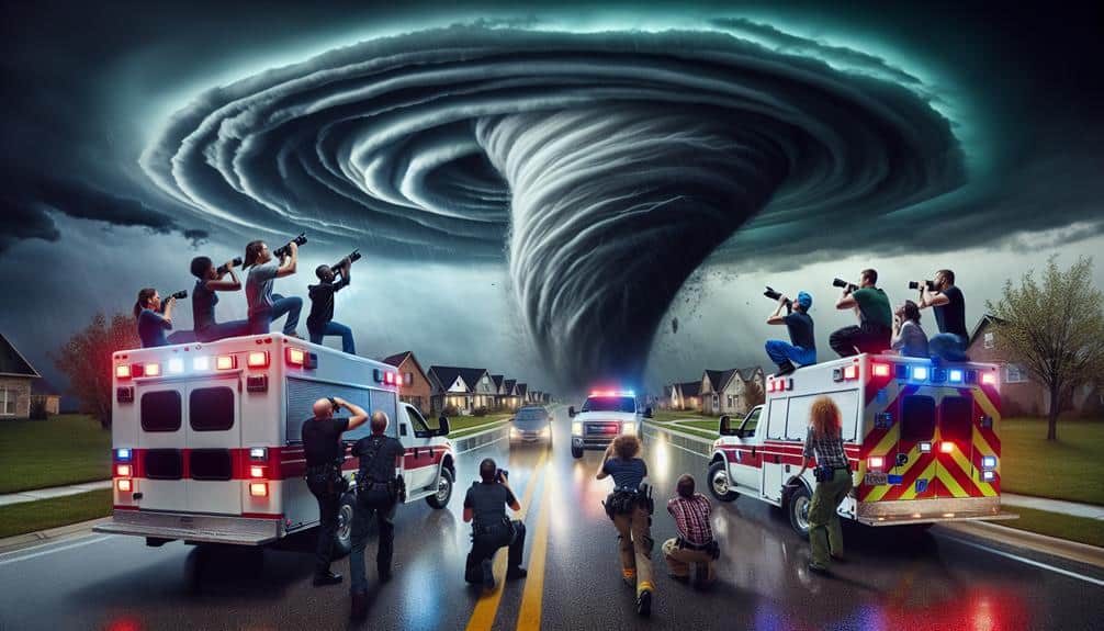
We track storm directions to analyze atmospheric patterns using advanced modeling techniques, including satellites, radar systems, and ground-based sensors. This real-time data helps predict severe weather events like tornadoes, hurricanes, and thunderstorms with high precision. By integrating machine learning algorithms, we interpret vast data quickly to issue timely warnings, thereby enhancing public safety and enabling efficient emergency responses. Tracking storm paths supports implementing evacuation plans, minimizing casualties, and reducing property damage. The accurate, actionable data we collect also aids in improving long-term forecasts and community preparedness. Discover how these methods revolutionize our understanding of weather phenomena.
Key Points
- Provide Real-Time Data: Storm chasers offer real-time observations that enhance the accuracy of weather models and forecasts.
- Improve Public Safety: Tracking storm directions helps in issuing timely warnings, thereby reducing casualties and property damage.
- Support Emergency Response: Accurate storm tracking enables efficient mobilization of emergency response teams and community preparedness.
- Study Storm Behavior: Observations help understand storm formation, path prediction, and intensity, contributing to meteorological research.
Understanding Storm Patterns
To understand storm patterns, we analyze historical data and current meteorological conditions to identify trends and anomalies. By examining years of weather patterns, we can pinpoint recurring phenomena and outliers. Our research methods involve collecting vast amounts of meteorological data, ranging from temperature and humidity levels to wind speeds and atmospheric pressure.
In our quest to track storms effectively, we employ advanced storm tracking technologies. These tools enable us to map the path of storms with high precision. We use satellites, radar systems, and ground-based sensors to gather real-time data, which we then cross-reference with historical records. This thorough approach allows us to detect subtle shifts in weather patterns that might signal the onset of a storm.
Our analysis doesn't stop at data collection. We apply statistical models and machine learning algorithms to interpret the data. These models help us understand the dynamics of storm formation and movement. By continuously refining our research methods, we aim to improve our ability to forecast storms.
This empowers individuals and communities to make informed decisions, enhancing their freedom to act and prepare effectively for potential weather disruptions.
Predicting Severe Weather
In predicting severe weather, we analyze atmospheric patterns through advanced modeling techniques and statistical data. By improving forecast accuracy, we can enhance public safety and provide timely warnings.
Our analytical approach aims to reduce the impact of severe weather on communities.
Analyzing Atmospheric Patterns
Analyzing atmospheric patterns allows us to predict severe weather with greater accuracy by leveraging data from satellite imagery, radar systems, and weather models. As we face the challenges posed by climate change, our ability to track weather accurately becomes even more critical. Advances in weather tracking technology empower us to observe real-time changes in temperature, humidity, and wind speeds, providing invaluable data for our predictive models.
By studying these atmospheric indicators, we can identify the precursors to severe weather events, such as thunderstorms, tornadoes, and hurricanes. Satellite imagery offers a macro view, helping us spot large-scale patterns and anomalies. Meanwhile, radar systems give us detailed, localized information about precipitation, wind direction, and velocity. These tools, combined with sophisticated weather models, allow us to simulate and predict weather behavior with increasing precision.
Moreover, the integration of machine learning algorithms enhances our capacity to interpret vast amounts of data swiftly. This data-driven approach not only aids in anticipating severe weather but also in understanding the broader impacts of climate change. By refining our weather tracking techniques, we can better prepare for and mitigate the effects of extreme weather, ultimately granting us greater freedom to navigate an unpredictable world.
Enhancing Public Safety
Accurate prediction of severe weather is crucial for enhancing public safety, as it allows us to issue timely warnings and take preventive measures. By tracking storm directions, we can anticipate potential hazards, mobilize emergency response teams efficiently, and prepare communities for impending threats.
When we analyze storm data, we can identify areas at risk and implement evacuation plans, minimizing casualties and property damage.
Data shows that communities with robust preparedness programs suffer fewer losses during severe weather events. For instance, the National Oceanic and Atmospheric Administration (NOAA) reports that areas with advanced warning systems and emergency response protocols experience a significant reduction in fatalities and injuries. By integrating storm chaser data with existing meteorological models, we can enhance these systems, ensuring that our warnings are accurate and timely.
Our goal is to empower individuals and communities with the information they need to make informed decisions. We can't control the weather, but we can certainly control how we respond to it. Through diligent storm tracking, we can foster a culture of preparedness and resilience, where every community member knows the steps to take when severe weather strikes.
This approach not only saves lives but also upholds the freedom to live safely and securely.
Improving Forecast Accuracy
Leveraging storm chaser data alongside advanced meteorological models sharpens our ability to predict severe weather with greater precision. By integrating real-time observations from storm chasers into our weather modeling systems, we can refine our forecasting techniques and enhance storm monitoring processes. This blend of empirical data and sophisticated algorithms allows us to generate more accurate predictions, ultimately empowering individuals with timely, actionable information.
Our data analysis efforts focus on several key areas:
- Storm Formation: Understanding the initial conditions that lead to storm development.
- Path Prediction: Accurately forecasting the trajectory of severe weather systems.
- Intensity Measurement: Gauging the strength and potential impact of storms.
By continuously analyzing this detailed data, we adapt our models to better predict the behavior of severe weather phenomena. This iterative process not only improves the reliability of our forecasts but also bolsters public trust in our warnings.
Utilizing storm chaser insights, we can push the boundaries of traditional forecasting techniques. This proactive approach to storm monitoring and weather modeling represents a vital step towards safeguarding our communities while respecting the freedom to make informed decisions.
Enhancing Public Safety
Regularly monitoring storm patterns allows us to provide timely alerts and enhance public safety through data-driven decisions. By closely observing storm trajectories and intensities, we can issue precise warnings that are essential for effective emergency response.
Our real-time data enables local authorities to mobilize resources and implement safety measures, minimizing the risk to lives and property.
In addition to aiding emergency response, our work greatly boosts community preparedness. Knowing when and where a storm will strike allows residents to take proactive steps, such as securing their homes, stocking up on essential supplies, and planning evacuation routes.
This level of preparedness empowers individuals to maintain a sense of control and freedom even amidst potential chaos.
Furthermore, storm chasers' efforts contribute to a thorough understanding of storm behavior, which enhances our predictive models. By continuously refining these models, we improve the accuracy of future forecasts, enabling even better-prepared communities.
Data from our observations directly informs policies and procedures designed to protect public safety, ensuring that emergency services and the general populace are well-equipped to handle severe weather events.
Data Collection Methods
Gathering precise data on storm patterns involves deploying a variety of advanced technologies and methodologies. As storm chasers, we prioritize accuracy and immediacy in our data collection to enhance real-time tracking and weather monitoring. Our approach is meticulous and data-driven, ensuring that the information we gather is both reliable and actionable.
To capture the most accurate data, we utilize several methods:
- Mobile Weather Stations: These stations are equipped with sensors to measure wind speed, direction, temperature, and humidity directly from the storm's vicinity.
- Drones: By deploying drones, we can gather high-resolution aerial data and monitor storm development from multiple angles.
- Ground-Based Radar Systems: These systems allow us to track precipitation intensity and storm movement, providing real-time updates and detailed storm structures.
Through these methods, we can compile inclusive datasets that contribute to our understanding of storm dynamics. This real-time tracking and extensive weather monitoring enable us to predict storm paths more accurately.
Technological Tools Used
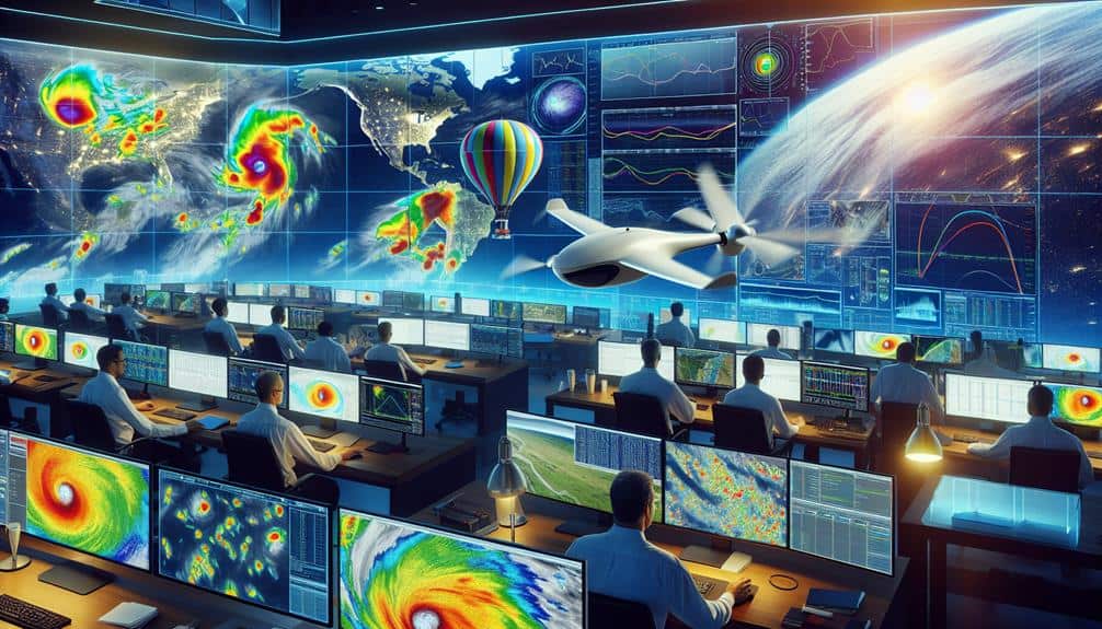
To achieve the high level of accuracy in storm tracking, we rely on a suite of advanced technological tools that enhance our data collection capabilities. Among these tools, satellite imagery stands out as a critical component. Satellites positioned in geostationary and polar orbits provide real-time data on cloud formations, moisture levels, and atmospheric temperatures. This information allows us to generate detailed weather models and predict storm paths with improved precision.
Another indispensable tool is radar technology. Doppler radar systems enable us to measure wind speeds and precipitation intensity within storm systems. The radar's ability to detect the movement of rain droplets and other particulates helps us to pinpoint the storm's center and track its evolution over time. Radar technology also provides critical insights into phenomena like tornado genesis and hail formation, supplying us with the granular details necessary for accurate storm forecasting.
We combine these tools to create a robust, multi-faceted approach to storm tracking. The interplay between satellite imagery and radar technology forms the backbone of our analytical processes, empowering us to anticipate weather events with a high degree of accuracy. This technological arsenal not only enhances our capacity to track storms but also fuels our drive for more accurate and timely predictions.
Impact on Research
The integration of advanced technological tools into storm tracking has revolutionized meteorological research, enabling us to analyze storm behavior with unparalleled depth and accuracy. By leveraging cutting-edge data visualization techniques, we can now dissect and comprehend the intricate dynamics of storm intensity and trajectory. This transformative approach allows us to gather precise data that considerably enhances our predictive models and understanding of severe weather patterns.
Our research benefits from these technological advancements in several key ways:
- Enhanced Predictive Models: Real-time data collection and analysis improve our forecasting accuracy, helping communities prepare more effectively.
- Detailed Storm Intensity Mapping: We can now visualize the varying intensities within a storm, providing insights into potential impacts and necessary safety measures.
- Comprehensive Data Archives: Accumulating extensive datasets over time aids in longitudinal studies, revealing trends and shifts in storm behavior due to climate change.
Frequently Asked Questions
How Do Storm Chasers Stay Safe While Tracking Storms?
To stay safe while tracking storms, we employ safety precautions and equipment, adhere to emergency protocols, and maintain constant communication. Utilizing state-of-the-art gadgets and real-time data, we guarantee our freedom to explore while minimizing risks.
What Kind of Training Do Storm Chasers Need?
We need extensive training in meteorological knowledge to understand storm patterns. Adhering to safety protocols guarantees our well-being. Data analysis, emergency response training, and real-world simulations are essential for responsibly tracking storms while maintaining our freedom to explore.
Are There Any Legal Restrictions on Storm Chasing?
While storm chasing, we must consider legal implications and consequences. Compliance with local laws, safety measures, and equipment regulations is essential. By doing so, we guarantee our freedom to conduct research responsibly and avoid potential legal issues.
How Do Storm Chasers Communicate With Each Other?
We utilize advanced technology and equipment to analyze weather patterns, ensuring precise communication methods. Radio frequencies, satellite phones, and GPS systems enable us to share real-time data, maintaining safety and efficiency in our storm chasing efforts.
What Motivates People to Become Storm Chasers?
Pursuing storms is like riding a roller coaster; we're driven by psychological motivations and thrill-seeking. Additionally, we're committed to understanding environmental impact and aiding conservation efforts, all while relishing the freedom of the open skies.

