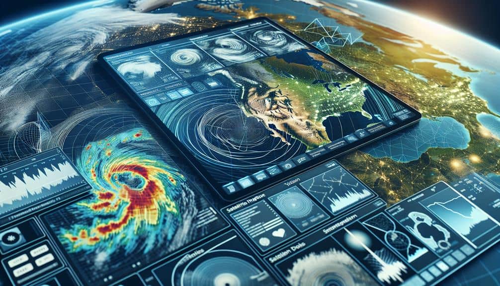
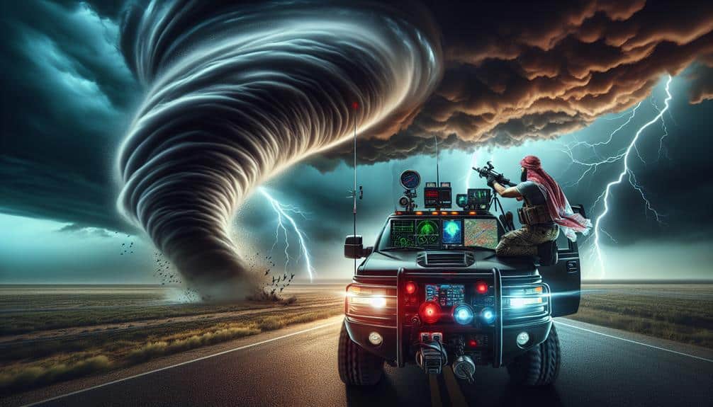
For advanced storm chasing risk assessment, we utilize high-resolution radar systems like Doppler radar to track precipitation, wind shear, and mesocyclones. Satellite imagery tools help analyze weather patterns, temperature gradients, and moisture content. Mobile weather stations provide vital on-site data, including barometric pressure, wind speed, and humidity. Data analysis software processes these inputs with statistical modeling to refine predictions. Communication devices ensure reliability in extreme conditions, while Geographic Information Systems (GIS) offer precise terrain mapping and real-time data analysis. By integrating these tools, we gain thorough insights into severe weather dynamics, allowing us to anticipate and mitigate potential risks effectively. Explore further for an in-depth understanding.
Key Points
- Doppler Radar Systems: Real-time data on precipitation, wind speed, and storm structure to pinpoint tornado genesis zones and assess storm intensity.
- Satellite Imagery Tools: High-resolution images for analyzing cloud dynamics, temperature gradients, and moisture content to predict severe weather outbreaks.
- Mobile Weather Stations: Capture real-time meteorological data including barometric pressure, wind speed, temperature, and humidity for on-site storm analysis.
- Data Analysis Software: Processes large datasets with statistical modeling and risk assessment algorithms to predict the impact of severe weather events.
Weather Radar Systems
Weather radar systems, specifically Doppler radar, are vital for storm chasers as they provide real-time data on precipitation, wind speed, and storm structure. By leveraging Doppler radar, we can obtain high-resolution imagery that's important for storm tracking. The ability to visualize the internal dynamics of a storm system helps us pinpoint areas of intense activity, such as rotating updrafts and potential tornado genesis zones.
Utilizing this data, we conduct precise risk assessment by determining the likelihood of severe weather events. For example, Doppler radar's velocity data allows us to identify wind shear and mesocyclones, both indicators of tornado formation. This enables us to make informed decisions on whether to advance or retreat, guaranteeing our safety while maximizing our observational efficacy.
In addition, radar reflectivity data helps us estimate precipitation rates and potential hail sizes, further refining our risk assessment protocols. By integrating radar data with geographic information systems (GIS), we can overlay storm tracks on detailed maps, facilitating real-time navigation and strategic positioning.
This level of analytical rigor ensures we can chase storms effectively while respecting the inherent risks, empowering us to navigate freely yet safely through nature's most volatile displays.
Satellite Imagery Tools
In addition to Doppler radar, we leverage satellite imagery tools to enhance our understanding of storm systems from a broader perspective. Satellite tracking serves as an important component in storm monitoring, providing high-resolution images that reveal complex weather pattern analysis and atmospheric conditions. These tools allow us to visualize and predict storm trajectories with greater accuracy, offering a macroscopic view that complements ground-based data.
Utilizing satellite imagery, we can observe:
- Cloud formation dynamics: Detecting vertical and horizontal development of clouds, which is vital for identifying potential severe weather outbreaks.
- Temperature gradients: Analyzing thermal variations that indicate instability in atmospheric conditions, essential for predicting storm intensity.
- Moisture content: Evaluating humidity levels in different atmospheric layers to gauge precipitation potential and storm development.
Doppler Radar Technology
Doppler radar technology enables us to measure storm speed and precipitation strength with unmatched precision, enhancing our ability to predict severe weather events accurately. By emitting microwave signals and analyzing the frequency shifts of the returned echoes, Doppler radar provides real-time data on the movement and structure of storms. This capability is essential for storm tracking, as it allows us to identify rotation within thunderstorms, a key indicator of potential tornado formation.
The data obtained from Doppler radar informs our weather forecasting models, improving the accuracy of predictions. By analyzing the speed data, we can determine wind patterns and identify areas of strong updrafts and downdrafts. This information is vital for evaluating the risk of severe weather, such as hail, heavy rainfall, and tornadoes. Additionally, Doppler radar's ability to measure precipitation strength helps us estimate rainfall rates, which is crucial for flood forecasting and management.
In storm chasing risk evaluation, the integration of Doppler radar data enables us to make informed decisions about when and where to deploy, optimizing both safety and data collection. As we aim for greater independence in our pursuit of understanding severe weather, Doppler radar remains an indispensable tool in our arsenal.
Mobile Weather Stations
Let's explore how mobile weather stations bolster our storm chasing strategies with real-time data collection and on-site weather analysis.
By utilizing portable sensor technology, we obtain precise atmospheric measurements directly from storm environments.
These advancements enable us to enhance predictive models and make informed decisions on the ground.
Real-time Data Collection
Utilizing mobile weather stations, we can capture real-time meteorological data essential for accurate storm chasing risk assessment. These stations enable us to engage in remote monitoring, allowing for swift data collection without being physically present in the most hazardous zones. This capability greatly enhances our rapid response to developing storm conditions, giving us a key edge in predicting and mitigating risks.
Mobile weather stations are equipped with an array of sensors and instruments, each designed to gather specific atmospheric information. These tools offer a wealth of data, including:
- Barometric pressure measurements: Indicate changes in atmospheric pressure, which are vital for identifying storm intensification.
- Anemometers: Measure wind speed and direction, providing insights into storm strength and potential paths.
- Thermometers: Monitor temperature fluctuations that can signal storm development stages.
On-site Weather Analysis
Our mobile weather stations provide crucial on-site analysis, delivering real-time data vital for evaluating storm conditions directly from the field. These stations enable us to deploy weather balloon observations and remote sensing techniques to capture atmospheric variables such as temperature, humidity, and wind speed at various altitudes. By launching weather balloons, we collect upper-atmosphere data that's essential for understanding storm dynamics and potential developments.
Using advanced environmental monitoring technologies, we can measure microclimate variations that often precede severe weather events. This localized data allows us to perform a detailed microclimate analysis, identifying subtle changes in temperature and wind patterns that larger, stationary systems might miss. Our mobile units are equipped with an array of sensors and instruments, ensuring comprehensive environmental monitoring and precise data collection.
The mobility of these stations offers unparalleled flexibility, enabling us to position ourselves in optimal locations for data acquisition. This dynamic approach enhances our ability to forecast storm behavior accurately and assess risks in real-time.
Portable Sensor Technology
Portable sensor technology in our mobile weather stations greatly enhances our ability to gather high-resolution data on atmospheric conditions in real-time. By deploying these advanced sensors, we can guarantee data accuracy, enabling us to make more informed decisions during storm chasing operations.
Field testing of these sensors has shown significant improvements in our data interpretation capabilities. We can now measure variables such as wind speed, temperature, humidity, and barometric pressure with unprecedented precision. This empowers us to predict storm behavior more reliably and assess risks on the fly.
- Wind Speed Sensors: Gauge wind velocities with high precision, helping us understand storm dynamics.
- Thermal Sensors: Monitor temperature gradients essential for identifying fronts and severe weather potential.
- Humidity Sensors: Track moisture levels to predict precipitation and potential for tornado formation.
These portable sensor deployments aren't just about data collection; they represent the freedom to act based on real-time, accurate information. The enhanced data accuracy and our ability to conduct rigorous field testing allow us to refine our models and improve our storm chasing strategies, thereby maximizing both safety and efficacy in high-risk environments.
Data Analysis Software

When evaluating storm chasing risks, data analysis software allows us to process large datasets efficiently, facilitating more accurate predictions. By leveraging statistical modeling techniques, we can interpret complex meteorological data to identify patterns and trends that are critical for risk assessment. Advanced software solutions enable us to create sophisticated risk assessment algorithms, which help in quantifying the potential impact of severe weather events.
Data analysis platforms, such as MATLAB and Python libraries, provide powerful tools for visualizing data and running simulations. These tools enable us to dissect variables like wind speed, humidity, and atmospheric pressure, offering a granular view of the storm dynamics. By integrating real-time data from portable sensor technology, we can continuously refine our models and make real-time adjustments to our risk assessments.
Furthermore, machine learning algorithms enhance our ability to predict storm paths and intensities with higher accuracy. These predictive models are essential for making informed decisions on whether to pursue or avoid specific storms, ensuring our safety and maximizing our freedom to chase the most compelling weather phenomena.
Essentially, data analysis software is the backbone of modern storm chasing, empowering us to navigate the inherent uncertainties with confidence.
Communication Devices
In the field of storm chasing, robust communication devices are crucial for coordinating efforts and ensuring real-time data sharing among team members. These tools not only facilitate seamless interaction but also play a crucial role in emergency response and ensuring safety.
Given the dynamic nature of severe weather events, our communication infrastructure must be reliable and resilient. To achieve efficient operational efficiency, we rely on a combination of devices:
- Satellite phones: Offer unparalleled network coverage in remote areas where cellular signals are weak or non-existent, ensuring constant connectivity.
- Two-way radios: Provide instant and clear communication between team members, especially useful when cellular networks fail.
- Mobile hotspots: Enable internet access in areas with limited network coverage, allowing us to access critical weather data and forecasts.
Geographic Information Systems

Let's start by examining how Geographic Information Systems (GIS) enhance our storm chasing capabilities.
We can leverage real-time data analysis to track storm movements accurately, while terrain mapping precision allows us to navigate challenging landscapes safely.
Additionally, hazard prediction models within GIS provide critical insights for anticipating and mitigating risks.
Real-time Data Analysis
Leveraging Geographic Information Systems (GIS) for real-time data analysis enables us to synthesize and visualize meteorological data with unparalleled accuracy. By integrating risk assessment algorithms and predictive modeling, we can enhance storm chasing strategies significantly. GIS platforms allow us to overlay multiple data layers, providing a thorough view of current weather conditions and potential risks.
Machine learning applications further augment our forecasting accuracy. By examining historical data and identifying patterns, machine learning models offer real-time updates and predictions. This allows us to stay ahead of rapidly evolving storm systems and make informed decisions in the field.
The visualization capabilities of GIS are indispensable for storm chasers. Here are some key benefits:
- Dynamic Weather Maps: Real-time updates on storm paths, wind speeds, and precipitation levels.
- Risk Heatmaps: Visual representation of risk zones based on predictive modeling.
- Resource Allocation: Best placement of storm chasing teams and equipment.
Utilizing GIS for real-time data analysis not only streamlines our operations but also maximizes the safety and efficiency of our storm chasing endeavors. This data-driven approach empowers us to navigate the unpredictability of severe weather with confidence and accuracy.
Terrain Mapping Precision
Our ability to accurately map terrain using Geographic Information Systems (GIS) amplifies the precision of our storm chasing risk assessments. By integrating elevation mapping with weather modeling, we can create detailed topographic analysis that informs our storm tracking strategies. GIS allows us to visualize complex terrain features, such as hills, valleys, and plains, which play an important role in the behavior and path of severe weather systems.
Incorporating elevation mapping into our assessments enables us to predict how geographic features will influence storm movements. For example, elevated areas can alter wind patterns and precipitation distribution, factors vital for accurate weather modeling. This data-driven approach provides a granular view that's necessary for making real-time decisions during storm tracking.
Moreover, topographic analysis aids in identifying potential hazards and safe zones, thereby enhancing our ability to navigate challenging environments. By leveraging GIS technology, we gain the freedom to make informed choices that can mitigate risks and improve the efficiency of our storm chasing missions.
The precision offered by GIS is essential for understanding the interplay between terrain and weather, ultimately leading to more reliable and actionable risk assessments.
Hazard Prediction Models
Hazard prediction models within Geographic Information Systems (GIS) enable us to simulate and analyze potential storm impacts with unparalleled accuracy. By leveraging advanced risk assessment and predictive modeling techniques, we can forecast storm trajectories and potential danger zones with precision. This allows us to create detailed hazard mapping, providing essential data for weather forecasting and emergency response planning.
Using GIS for hazard prediction involves several key elements:
- Data Integration: Combining meteorological data, topographical maps, and historical storm patterns to create all-encompassing models.
- Simulation Algorithms: Running intricate algorithms that predict storm behavior and potential impact areas.
- Visualization Tools: Generating visual hazard maps that effectively communicate risk areas and storm paths.
These components not only enhance our predictive capabilities but also empower us to make informed, data-driven decisions during storm chasing missions. With GIS-based hazard prediction models, we gain the freedom to navigate storm environments more safely and strategically, reducing risks and increasing our chances of successful data collection. This approach ensures that we're always one step ahead of the storm, prepared for any scenario.
Frequently Asked Questions
What Training Is Required for Using Advanced Storm Chasing Equipment Effectively?
We need rigorous training in equipment maintenance, safety protocols, data analysis, and field experience. Mastering these guarantees we're prepared, we're safe, and we're accurate in our predictions. Our freedom relies on our ability to analyze and act.
How Do Storm Chasers Stay Safe During Severe Weather Events?
We prioritize safety precautions and communication strategies, leveraging technology like GPS and radar. Our team coordinates emergency response plans, ensuring real-time data guides our movements. Staying informed and prepared lets us safely experience the freedom of storm chasing.
What Role Does Historical Weather Data Play in Risk Assessment?
In evaluating risk, we analyze trends in historical weather data, using data visualization to identify patterns. This approach empowers us to anticipate storm behavior more accurately, ensuring our decisions are both informed and strategic for safer storm chasing.
How Do Storm Chasers Collaborate With Local Emergency Services?
When nature's fury looms, we sync up seamlessly with local emergency services. Our collaboration and real-time communication guarantee accurate data flow, enhancing public safety and granting communities the freedom to prepare and respond effectively.
What Personal Protective Gear Is Recommended for Storm Chasers?
We prioritize protective gear due to its significance in storm chasing. Implementing safety measures and proper preparation guarantees our safety. Recommended gear includes helmets, reinforced clothing, and sturdy boots, all designed to minimize risks and maximize freedom.


