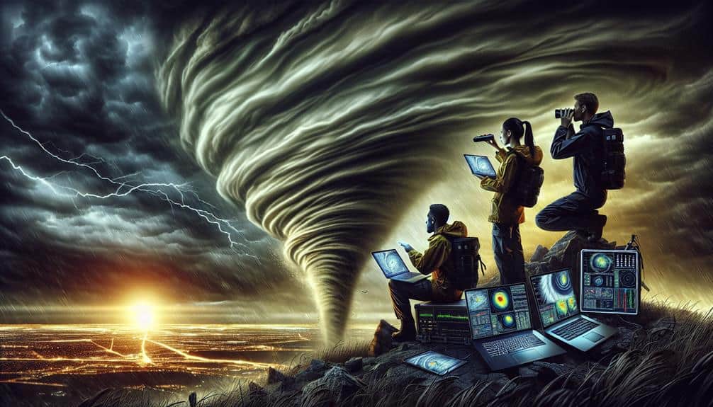
We enhance our weather tracking techniques for storm chasing by integrating advanced radar systems, high-definition satellite imagery, and weather balloons. Our Doppler technology precisely measures wind and precipitation velocities, enabling real-time situational awareness. Mobile weather apps offer hyper-localized forecasts and predictive alerts, leveraging machine learning algorithms for increased accuracy. Utilizing GIS technology, we synthesize multi-source data, including satellite and ground-based observations, to build thorough predictive models. This robust approach not only refines our predictive capabilities but also ensures we make well-informed, swift decisions in the field. Discover how these innovations elevate our storm tracking efficiency.
Key Points
- Advanced radar systems and Doppler technology improve storm detection and velocity measurements for accurate tornado tracking.
- High-resolution satellite imagery offers global atmospheric observations, aiding in storm pattern analysis and trajectory predictions.
- Weather balloons provide real-time high-altitude atmospheric data, refining predictive models and enhancing storm forecasting.
- Mobile weather apps deliver hyper-localized forecasts and real-time alerts, ensuring timely decision-making and increased safety.
Radar Systems
Leveraging advanced radar systems, we're able to achieve more accurate and timely weather predictions. By fine-tuning radar calibration, we enhance storm detection capabilities. This guarantees we can pinpoint severe weather events with greater precision. Accurate radar calibration is essential; even minor discrepancies can lead to significant errors in storm path projection.
With synchronized radar systems, the data interpretation process becomes more robust. We can analyze vast datasets to discern complex weather patterns. Employing Doppler radar, we measure velocity changes within the atmosphere, identifying rotation patterns indicative of tornado formation. Enhanced radar resolution enables us to detect smaller-scale features, such as microbursts and hail cores, that could cause significant damage.
Our analytical approach extends beyond mere detection. We scrutinize historical radar data to refine predictive models, giving us insights into evolving weather patterns. By integrating real-time radar data with these models, we generate precise forecasts. This empowers communities to make informed decisions, safeguarding lives and property.
Ultimately, our commitment to leveraging advanced radar systems contributes to greater freedom and safety. Storm chasers, emergency responders, and the general public benefit from our enhanced capability to predict and respond to weather threats effectively.
Satellite Imagery
While radar systems offer ground-level precision, satellite imagery provides a thorough view of atmospheric phenomena on a global scale. By leveraging high-resolution sensors, we can observe intricate cloud formations and deduce atmospheric conditions that are essential for storm chasers. These satellite images enable us to track storm patterns and analyze climate trends over time.
Using geostationary and polar-orbiting satellites, we gain continuous data streams. This allows for real-time monitoring and predictive modeling. We can pinpoint the genesis of severe weather systems and follow their development with unprecedented accuracy. Satellite imagery also helps us understand the vertical structure of storms, enhancing our capability to predict their intensity and trajectory.
Moreover, the integration of multispectral imaging technology means we can detect various atmospheric parameters, such as moisture levels and temperature distributions. This data is vital for identifying potential storm triggers and understanding the broader climate trends that influence storm behavior.
Weather Balloons
Deploying weather balloons offers us a crucial method for capturing high-altitude atmospheric data, necessary for enhancing our understanding of weather systems. By releasing these balloons, we gather critical information such as temperature, humidity, and wind speed at various altitudes. These parameters are essential for atmospheric research and forecasting, providing a three-dimensional perspective of the atmosphere.
We launch weather balloons equipped with radiosondes, which transmit real-time data back to our ground stations. This balloon data is invaluable for constructing vertical profiles of the atmosphere, allowing us to identify storm potential and track severe weather patterns. The altitude range, typically up to 35 kilometers, ensures we capture data from the troposphere to the lower stratosphere.
Accuracy in balloon data collection is paramount. We use GPS technology to determine the precise location and altitude, guaranteeing high-resolution datasets. Analyzing this information, we can refine predictive models and better understand atmospheric dynamics.
For storm chasers, this means more precise forecasts and timely warnings, enhancing safety and operational freedom.
Incorporating weather balloons into our toolkit exemplifies our commitment to advancing atmospheric research. By harnessing this technology, we empower ourselves with the knowledge needed to navigate and predict complex weather phenomena effectively.
Doppler Technology
Utilizing Doppler technology, we can measure the velocity of raindrops and other particles in the atmosphere, providing critical data for understanding wind patterns and precipitation dynamics. This capability is pivotal for storm detection, allowing us to identify and track severe weather events with greater accuracy.
By examining the Doppler shift in radar waves, we obtain real-time information on the speed and direction of moving storm systems. This enhances our ability to predict the development and movement of storms, thereby granting us the freedom to make informed decisions in storm chasing endeavors.
In terms of atmospheric monitoring, Doppler technology offers unparalleled precision. We can differentiate between various precipitation types, such as rain, snow, and hail, by analyzing the returned radar signals. Additionally, it enables us to detect rotational patterns within storms, which are often precursors to tornado formation.
By continually monitoring these patterns, we improve our predictive capabilities and increase our chances of safely navigating hazardous weather conditions. Doppler radar's high-resolution data feeds enhance our situational awareness, providing the analytical edge needed to stay ahead of rapidly changing atmospheric conditions.
This technology fundamentally empowers us to pursue our storm chasing passion with both confidence and safety.
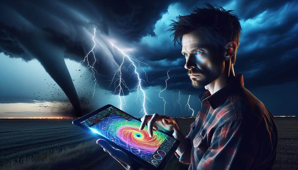
Mobile Weather Apps
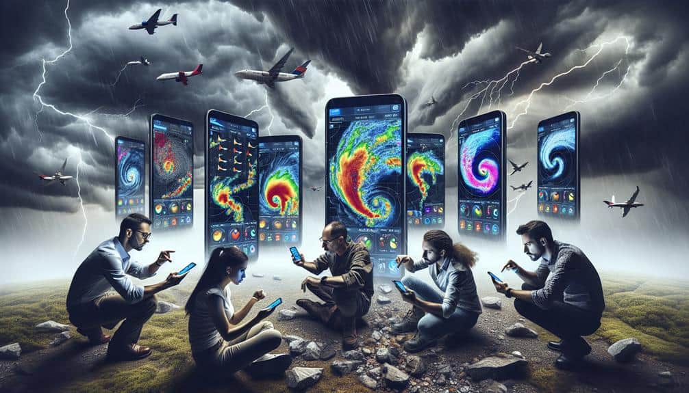
Mobile weather apps offer us real-time data access and predictive weather alerts, enhancing our ability to respond to changing conditions.
By leveraging geolocation and advanced analytics, these apps provide hyper-localized forecasts that are essential for timely decision-making.
We can now anticipate weather patterns with greater accuracy, aiding in everything from daily commutes to disaster preparedness.
Real-time Data Access
We frequently access real-time weather data through mobile apps that leverage advanced algorithms and vast meteorological databases to deliver accurate forecasts. These applications are indispensable for storm chasers who need immediate, precise information to make critical decisions.
By integrating emergency response protocols with our field observations, we can better anticipate severe weather events and react promptly to minimize risks.
Mobile weather apps provide a plethora of data, including radar imagery, satellite views, and real-time updates on storm trajectories. This data-driven approach allows us to track storm cells with remarkable accuracy, enhancing our ability to execute timely emergency responses.
By analyzing this real-time data, we can adjust our routes and positioning to stay safe while still capturing valuable meteorological information.
Moreover, these apps enable us to log our field observations directly into the system, contributing to a broader dataset that improves forecast models. The synergy between real-time data access and our on-the-ground insights allows for a more dynamic and responsive storm-chasing experience.
Ultimately, the freedom to access this data anytime, anywhere, empowers us to make informed decisions in the ever-changing landscape of severe weather tracking.
Predictive Weather Alerts
Predictive weather alerts in mobile apps leverage machine learning algorithms to analyze vast datasets and provide timely warnings about impending severe weather conditions. By integrating real-time data from satellites, radar, and ground sensors, these apps can predict storm paths with remarkable accuracy. This predictive capability is vital for enhancing our emergency response strategies.
We see that these alerts don't just inform us; they empower us. When severe weather is imminent, the ability to receive instant, location-specific notifications allows us to make informed decisions swiftly. Machine learning models continuously refine themselves, becoming more accurate with each data input. This means our predictive alerts aren't static but evolve, offering increasingly precise information.
Community engagement is another significant aspect. Mobile weather apps enable us to share real-time alerts with our communities, enhancing collective readiness. Push notifications and social media integrations make it simple to disseminate critical information rapidly. This fosters a sense of preparedness and community resilience, ensuring that everyone can take appropriate action well before the storm hits.
In leveraging these advanced technologies, we're not just reacting to weather events; we're proactively safeguarding our freedom to act and respond efficiently.
Data Analysis Tools
Advanced data analysis tools play a pivotal role in enhancing the accuracy and efficiency of modern weather tracking systems. By leveraging machine learning algorithms, we can sift through vast amounts of meteorological data to identify patterns and predict storm trajectories with unprecedented precision. Machine learning's ability to continuously improve from new data inputs ensures that our predictive models remain robust and adaptive to changing weather conditions.
Incorporating geographic information systems (GIS) into our toolkit allows us to visualize and analyze spatial data effectively. GIS technology enables us to map storm paths, assess potential impact zones, and devise strategic response plans. By integrating real-time data feeds, we can dynamically update these maps, providing storm chasers with the most current information available.
Data analysis tools also facilitate the synthesis of multi-source data, including satellite imagery, radar data, and ground-based observations. We harness these diverse data streams to build comprehensive models that account for a myriad of variables influencing weather patterns. This holistic approach not only enhances our predictive capabilities but also empowers us to make informed decisions swiftly.
Frequently Asked Questions
How Do Storm Chasers Communicate in Remote Areas With No Cell Service?
In remote areas without cell service, we utilize satellite communication for reliable, real-time data exchange. Additionally, we rely on emergency beacons to guarantee our safety and maintain connectivity, guaranteeing our freedom to track storms effectively.
What Safety Precautions Do Storm Chasers Take During Severe Weather Events?
We prioritize safety by identifying emergency shelters in advance and wearing protective gear like helmets and padded clothing. Our data-driven approach guarantees we stay informed about storm patterns, maximizing our freedom to chase safely and effectively.
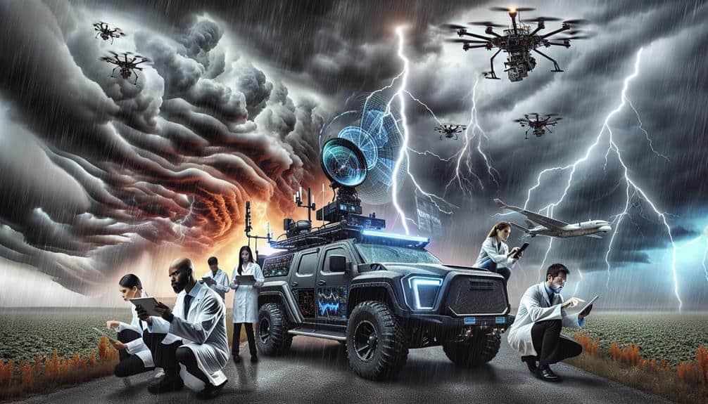
Can Drones Be Used to Track and Analyze Storm Patterns?
Yes, drones can be used for storm analysis. Drone surveillance provides real-time data essential for weather forecasting. Advanced drone technology enhances our ability to monitor storm patterns, offering unprecedented insights and improving our predictive capabilities.
How Do Storm Chasers Fund Their Expeditions and Equipment?
Chasing storms isn't a cheap thrill. We often rely on a mosaic of funding sources, like grants, sponsorships, and personal savings, to cover our substantial equipment costs. Each dollar fuels our pursuit of the ultimate atmospheric freedom.
What Qualifications or Training Are Needed to Become a Storm Chaser?
To become storm chasers, we need essential certifications like meteorology degrees and required experience in fieldwork. Specialized training in storm prediction and safety protocols is essential. Hands-on experience with weather tracking technology enhances our field readiness.