Finding the center of a hurricane requires precise understanding of its dynamics. We observe the eye, typically 20-40 miles wide, where wind speeds and cloud cover decrease noticeably. Safety is paramount; identify evacuation routes, stockpile supplies, and utilize two-way radios and GPS for communication and guidance. Remote sensing with satellites and Doppler radar are essential in gathering real-time data on wind speeds and atmospheric conditions. Historical case studies provide valuable insights into effective response strategies. For more nuanced details on equipping oneself and ensuring safety, there's a wealth of information to explore.
Key Points
- Utilize NOAA weather radios for real-time updates on the hurricane's trajectory and intensity.
- Familiarize yourself with evacuation routes and have a plan to reach emergency shelters safely.
- Equip yourself with communication devices like two-way radios and satellite phones to stay connected.
- Stockpile essential supplies such as non-perishable food, water, medical kits, and protective gear.
The Eye of the Storm
In the heart of a hurricane, the eye of the storm presents a stark contrast to the surrounding chaos, characterized by calm winds and relatively clear skies. This phenomenon arises due to complex weather patterns and atmospheric conditions.
Our scientific research has shown that the eye forms when the intense cyclonic winds around the hurricane's center create a centrifugal force that pushes air outward, creating a low-pressure area.
We observe that within the eye, meteorological phenomena stabilize, reducing wind speeds significantly. Data indicates that wind speeds in the eye can drop to as low as 15 mph, compared to the surrounding eyewall where speeds exceed 150 mph. Atmospheric conditions in the eye often include subsiding air, leading to fewer clouds and precipitation.
To better understand the eye, we analyze satellite imagery and deploy reconnaissance aircraft. These tools provide us with precise measurements of temperature, pressure, and humidity. Our findings contribute to predicting hurricane trajectories and intensities, offering critical insights for evacuation plans and safety protocols.
Characteristics of the Eye
The eye of a hurricane displays distinctive features, including notably lower wind speeds, reduced cloud cover, and a marked decrease in atmospheric pressure. As we navigate this central region, we observe the eye structure, typically spanning 20-40 miles in diameter, forming a nearly circular area of calm weather. This phenomenon results from the centrifugal force generated by the hurricane's intense rotation, causing the air to descend and stabilize, thereby limiting cloud formation and precipitation.
Eye formation is a direct consequence of pressure changes. Within the eye, atmospheric pressure can be more than 15% lower than the surrounding eyewall. These significant pressure drops drive the surrounding air inward and upward, creating the intense, spiraling weather patterns that define a hurricane. The stark contrast between the eye and the eyewall, where the most violent conditions exist, highlights the eye's anomalous tranquility.
Furthermore, the eye's weather patterns offer a brief respite from the chaos. We experience a sudden shift from violent winds to eerie calmness, a demonstration of the dynamic atmospheric processes at play.
This eye's unique characteristics exemplify nature's complexity and underscore the intricate balance within these powerful storms.
Safety Precautions
Prioritizing safety measures during a hurricane is vital to minimizing risks and securing survival. As we navigate these intense storms, our actions must be guided by data and scientific recommendations to maximize safety. Understanding and preparing for potential threats can greatly reduce our vulnerability.
- Identify Evacuation Routes: Knowing the safest and quickest paths to leave a hurricane-affected area is essential. We should familiarize ourselves with multiple routes in case one is compromised. Local authorities typically provide maps and updates on the best evacuation paths.
- Locate Emergency Shelters: Emergency shelters offer a safe haven when evacuation isn't feasible. It's important to know the locations of nearby shelters and their capacities. These shelters are often equipped with basic necessities, but we should verify what's available and any specific requirements they might have.
- Stay Informed: Continuous monitoring of weather updates from reliable sources allows us to make timely decisions. NOAA Weather Radio and trusted news outlets provide real-time information on the hurricane's path, intensity, and any changes in evacuation orders.
- Create a Communication Plan: Establishing a clear communication strategy ensures we stay connected with family and emergency services. This includes sharing our evacuation routes, shelter locations, and contact details with all relevant parties.
Equipment Needed
Having the right equipment is necessary for weathering a hurricane safely and effectively. First, we need to stockpile emergency supplies. This includes non-perishable food, bottled water, and medical kits. According to FEMA guidelines, a minimum of 72 hours' worth of provisions per person is recommended.
Protective gear, such as helmets and sturdy boots, offers important defense against debris and hazardous conditions.
Communication devices are crucial for maintaining contact with rescue teams and loved ones. Two-way radios, satellite phones, and portable chargers should be part of our arsenal. NOAA weather radios provide real-time updates on the storm's trajectory and intensity.
Navigation tools are equally vital. GPS systems and traditional compasses ensure we can plot our coordinates accurately. Modern GPS units, equipped with topography and weather overlay features, facilitate precise navigation through the hurricane's eye and surrounding bands.
Data Collection Methods
Equipping ourselves with cutting-edge tools, we systematically gather meteorological data to analyze the hurricane's dynamics and predict its behavior. Our data collection methods blend traditional survey techniques with advanced observation methods, enabling us to obtain in-depth insights into these formidable storms.
To achieve this, we employ the following methods:
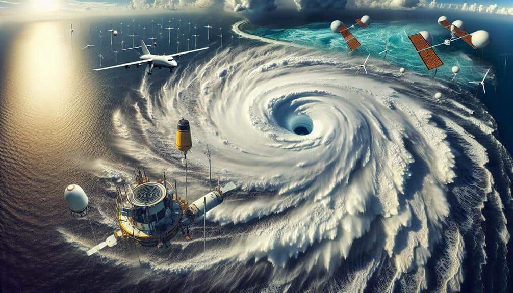
- Remote Sensing: By utilizing satellites equipped with advanced sensors, we capture real-time data on hurricane formation, intensity, and movement. This high-resolution imagery aids in understanding cloud structures and precipitation patterns.
- Aerial Photography: Deploying aircraft equipped with specialized cameras, we conduct aerial photography to document the hurricane's eye, wind speeds, and surface conditions. These images are invaluable for modeling storm progression and gaining insights into potential impact areas.
- Doppler Radar Systems: Our Doppler radar systems provide critical measurements of wind speed and direction within the hurricane. This data helps in determining the storm's velocity and possible path deviations.
- In-situ Observations: By deploying weather buoys and dropsondes directly into the hurricane, we gather localized data on atmospheric pressure, temperature, and humidity. These in-situ observations are essential for fine-tuning our predictive models.
Through these advanced data collection methods, we enhance our understanding of hurricanes, ultimately empowering us to make informed decisions and safeguard our communities.
Case Studies
Let's examine real-life survival stories to understand important lessons from past hurricanes.
We'll analyze community response strategies, focusing on data-driven outcomes and adaptive measures.
These case studies will inform our approach to successfully maneuvering the center of a hurricane.
Real-Life Survival Stories
Among the myriad of harrowing accounts, one striking case study involves a family who survived the eye of Hurricane Katrina by utilizing detailed weather reports and emergency protocols. Their story offers invaluable insights through personal accounts, emphasizing survival tips and emergency readiness. The family's thorough approach to staying informed and proactive ensured their safety during one of history's most devastating hurricanes.
The family's strategy can be broken down into four key actions:
- Monitoring Weather Reports: They consistently tracked real-time meteorological data, allowing them to anticipate the hurricane's path and intensity.
- Implementing Emergency Protocols: They adhered to established emergency readiness guidelines, including securing their home and assembling a detailed survival kit.
- Evacuation Planning: They mapped out multiple evacuation routes, ensuring they'd flexible options in case primary paths were rendered impassable.
- Communication Systems: They maintained a robust communication plan, including backup power sources for devices and pre-arranged check-in points with relatives.
These actions underscore the importance of integrating survival tips with real-time data and first-hand experiences. By thoroughly preparing and remaining adaptable, the family demonstrated that with the right knowledge and tools, navigating the chaos of a hurricane's center is feasible.
Their experience serves as a compelling reminder of the power of foresight and resilience.
Lessons From Past Hurricanes
Through examining data-driven case studies, we can distill important lessons from past hurricanes to improve our understanding and preparedness. Let's explore Hurricane Katrina (2005) and Hurricane Maria (2017) to extract actionable insights.
Hurricane Katrina's aftermath analysis reveals critical gaps in emergency response. One major oversight was the delayed mobilization of resources. To mitigate this, we should prioritize establishing efficient communication channels and pre-positioning essential supplies. Preparation tips such as decentralized stockpiling of medical and food supplies can significantly decrease logistical bottlenecks.
Conversely, Hurricane Maria highlighted the importance of robust rebuilding efforts. Puerto Rico's electrical grid was devastated, leaving millions without power. A systemic approach to infrastructure resilience, prioritizing renewable energy sources and decentralized grids, should be a cornerstone of our rebuilding strategy. This lesson underscores the need to integrate long-term sustainability into emergency response plans.
Both case studies emphasize the importance of community-level engagement. Local authorities should lead initiatives while leveraging federal support. By learning from these hurricanes, we can foster a culture of proactive preparedness and resilient rebuilding efforts, ultimately empowering us to navigate future storms with greater independence and effectiveness.
Community Response Strategies
By examining community response strategies during Hurricane Sandy (2012) and Hurricane Harvey (2017), we can identify effective measures that strengthen resilience and expedite recovery. Both events showed the significant importance of well-structured communication plans and community outreach initiatives. These elements were foundational in maintaining order and guaranteeing timely dissemination of essential information.
- Communication Plans and Community Outreach: During Hurricane Sandy, robust communication networks facilitated real-time updates, enabling communities to make informed decisions. Local governments utilized social media and emergency alert systems to keep residents informed, notably reducing panic and misinformation.
- Volunteer Mobilization: Hurricane Harvey highlighted the power of community action, with thousands of volunteers mobilized through coordinated efforts. Grassroots organizations played a pivotal role, creating a network of support that extended beyond state and federal resources.
- Resource Distribution: Effective resource distribution was crucial during both hurricanes. In Harvey's aftermath, pre-established distribution centers and partnerships with local businesses ensured that essentials like food, water, and medical supplies were swiftly deployed to affected areas.
- Data-Driven Decision Making: Both hurricanes demonstrated the value of data analytics in emergency management. Authorities utilized predictive models to allocate resources efficiently, minimizing waste and maximizing impact.
Frequently Asked Questions
How Do Hurricanes Form and Develop?
To understand hurricane formation and development, we analyze sea surface temperatures, atmospheric conditions, and wind patterns. For accurate hurricane tracking and prediction, we use satellite data, computer models, and historical storm data, ensuring precise forecasting.
What Is the Best Time of Year to Study Hurricanes?
Imagine a stormy sea; the best time to navigate it is during hurricane season. We commence on our meteorological studies in summer, seizing research opportunities when storms peak, maximizing data collection and advancing our understanding.
How Are Hurricanes Classified and Named?
We classify hurricanes using the Saffir-Simpson scale, which measures wind speed and potential damage. Naming hurricanes follows a predetermined list by the World Meteorological Organization, ensuring clarity and communication efficiency during storm tracking and reporting.
What Impact Do Hurricanes Have on Climate Change?
As the saying goes, "the butterfly effect," hurricane intensity and frequency are rising due to climate change impacts. Data shows a clear global warming connection, indicating more severe storms as oceans warm and atmospheric conditions evolve.
How Do Animals React to a Hurricane?
When hurricanes approach, animals' behavior changes as they rely on survival instincts. Data shows birds often evacuate early, while mammals seek shelter. Their adaptive responses highlight the intricate balance between freedom and survival in nature.