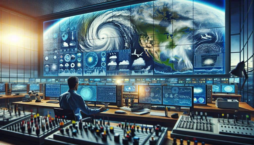
To predict storms accurately, we first analyze historical weather patterns, which help identify trends and understand the impacts of climate change. We then utilize satellite imagery to observe cloud formations and real-time conditions. Monitoring atmospheric pressure with weather balloons provides essential data on storm development. Interpreting Doppler radar data allows us to assess precipitation intensity and detect rotational patterns. Utilizing machine learning algorithms refines our forecasts by recognizing intricate patterns. If we follow these steps, we can greatly enhance our storm prediction capabilities. Let's explore each technique in detail to understand its complete potential.
Key Points
- Leverage historical weather patterns to identify trends and improve forecasting accuracy.
- Utilize real-time satellite imagery to monitor cloud formations and anticipate storm systems.
- Incorporate atmospheric pressure data from weather balloons to enhance storm development predictions.
- Analyze Doppler radar data for precipitation intensity and rotational patterns to detect severe weather.
Analyze Historical Weather Patterns
To accurately predict storms, it's essential to first analyze historical weather patterns using comprehensive meteorological datasets. By examining past data, we can identify climate change impacts and their contributions to evolving storm severity trends. It's evident that climate change has intensified the frequency and magnitude of severe weather events. Our objective is to leverage this historical data to enhance our forecasting accuracy.
We commence by aggregating extensive meteorological records, encompassing temperature, humidity, wind speeds, and precipitation levels. Scrutinizing these datasets enables us to pinpoint anomalies and recurring patterns that indicate potential storm developments. We utilize advanced statistical models and machine learning algorithms to identify trends and refine our forecasting techniques.
Historical data also serves as a reference point to compare current weather conditions against. This comparison aids in recognizing deviations that could suggest the onset of a storm. For instance, a sudden rise in sea surface temperatures might indicate an upcoming hurricane.
Utilize Satellite Imagery
Building on our analysis of historical weather patterns, we integrate satellite imagery to enhance real-time storm prediction capabilities. Satellite tracking provides us with essential data that allows us to observe and analyze cloud formations, storm development, and track weather systems as they evolve. This real-time data is vital for accurate storm forecasting and timely warnings.
To maximize the effectiveness of satellite imagery, we focus on several key areas:
- Cloud Formation Analysis: By examining the formation, movement, and density of clouds, we can identify potential storm systems before they intensify.
- Temperature and Humidity Profiles: Satellites measure temperature and humidity at various atmospheric layers, giving us insights into the conditions that can lead to storm development.
- Wind Patterns: High-resolution satellite data allows us to track wind speeds and directions at multiple altitudes, aiding in the prediction of storm paths and intensities.
- Precipitation Monitoring: Real-time satellite imagery helps us measure rainfall rates and distribution, essential for anticipating flooding and heavy precipitation events.
Monitor Atmospheric Pressure
While analyzing meteorological data, we prioritize monitoring atmospheric pressure as it plays a crucial role in predicting storm development and behavior. Atmospheric pressure indicates the weight of the air above a given point and is a vital factor in understanding weather patterns. Low-pressure systems often signify storm conditions, whereas high-pressure systems usually indicate fair weather.
To measure atmospheric pressure accurately, we deploy weather balloons equipped with barometers. These balloons ascend through the atmosphere, collecting real-time data on pressure changes at various altitudes. This vertical profiling allows us to detect pressure anomalies that could signal storm formation. By incorporating this data into our climate models, we can simulate potential weather scenarios with higher precision.
Our climate models use this atmospheric pressure data to predict storm paths and intensities. They integrate pressure readings with other meteorological variables, such as temperature and humidity, to provide a thorough forecast. This data-driven approach empowers us to issue timely warnings, helping communities prepare for impending storms.
In essence, monitoring atmospheric pressure through weather balloons and integrating this data into climate models enhances our storm prediction capabilities. This comprehensive approach ensures that we stay one step ahead, giving us the freedom to make informed decisions and protect lives.
Interpret Doppler Radar Data
We rely on Doppler radar data to analyze precipitation intensity, storm motion, and potential tornado formation with high precision. This technology helps us interpret complex weather patterns and track storms in real-time, providing critical information for accurate storm prediction.
By examining Doppler radar data, we can visualize:
- Precipitation Intensity: The radar's reflectivity data shows the concentration of precipitation particles, allowing us to gauge the severity of rainfall or hail within the storm system.
- Storm Motion: Radial velocity data from the radar reveals the direction and speed of precipitation particles, helping us track the storm's movement and predict its future path.
- Potential Tornado Formation: Doppler radar can detect rotational patterns in the atmosphere, known as mesocyclones, which are precursors to tornadoes, enabling us to issue timely warnings.
- Weather Patterns: By analyzing the radar's data over time, we can identify and predict broader weather patterns, improving our overall storm tracking and weather forecasting capabilities.
Accurate radar interpretation is essential for storm prediction, enabling us to make informed decisions and respond effectively to severe weather threats. Utilizing Doppler radar data empowers us to stay ahead of developing storms, safeguarding our communities and enhancing our freedom to plan and act proactively.
Leverage Machine Learning Algorithms

Leveraging machine learning algorithms, we can enhance the accuracy and efficiency of storm prediction by processing vast amounts of meteorological data with unprecedented speed and precision. By integrating predictive modeling techniques, we transform raw data into actionable insights. These models utilize historical weather patterns, satellite imagery, and atmospheric conditions to predict future storm activities with remarkable reliability.
Through advanced data analysis, we identify complex relationships within meteorological datasets that might be imperceptible to traditional methods. Machine learning algorithms, such as neural networks and support vector machines, excel in recognizing these intricate patterns. They continuously learn and adapt from new data, increasing their predictive power over time.
Moreover, ensemble methods that combine multiple algorithms provide a robust framework for storm prediction. They mitigate individual model biases, leading to more accurate and extensive forecasts. The result? We achieve a higher degree of precision in predicting storm trajectories, intensity, and potential impact zones.
Ultimately, leveraging machine learning empowers us to break free from the constraints of conventional forecasting techniques. It allows us to harness data's full potential, delivering timely and accurate storm predictions that enhance public safety and preparedness.
Frequently Asked Questions
How Can Local Topography Affect Storm Prediction Accuracy?
Imagine jagged mountains and rolling hills. Local topography's terrain influence can skew storm tracking. Elevation impact alters wind patterns and moisture flow, affecting forecast accuracy. We must integrate these variables for precise, data-driven storm predictions.
What Role Do Ocean Temperatures Play in Storm Development?
Ocean temperatures greatly influence storm development. Warm waters fuel cyclones by increasing evaporation. Ocean currents distribute this heat, affecting atmospheric pressure patterns, which in turn can intensify or weaken storm systems, impacting their paths and strength.
How Do Weather Balloons Contribute to Storm Forecasting?
Weather balloons provide essential data collection from the upper atmosphere. They measure temperature, humidity, and pressure, allowing us to predict storm development with greater accuracy. This information enhances our ability to anticipate and respond to severe weather.
Can Social Media Data Enhance Storm Prediction Models?
We believe social media trends can enhance storm prediction models by allowing real-time data integration. This boosts forecasting accuracy by providing immediate, ground-level observations, enabling a more responsive and precise approach to predicting storm developments.
What Is the Impact of Climate Change on Storm Frequency and Intensity?
Like a boiling pot, global warming intensifies extreme weather. We see more extreme events, challenging our adaptation strategies. Climate change undeniably increases storm frequency and intensity, demanding precise scientific analysis and innovative approaches to safeguard our freedom.