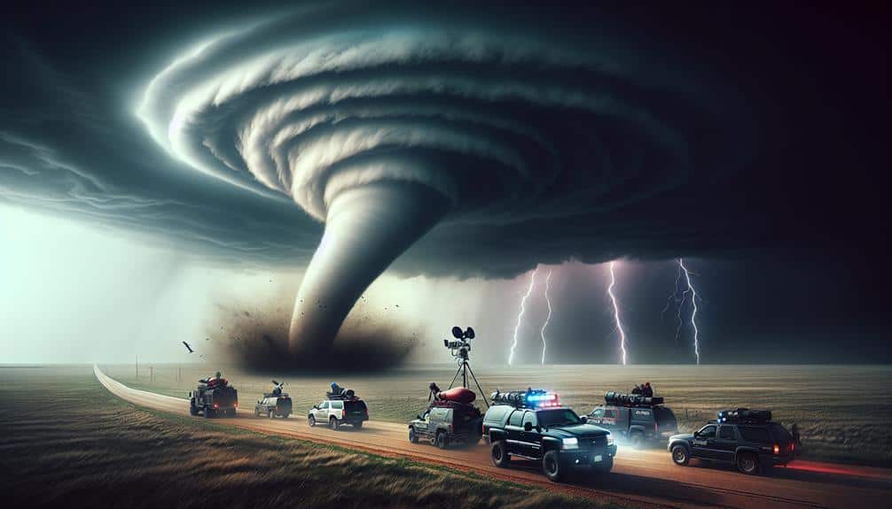
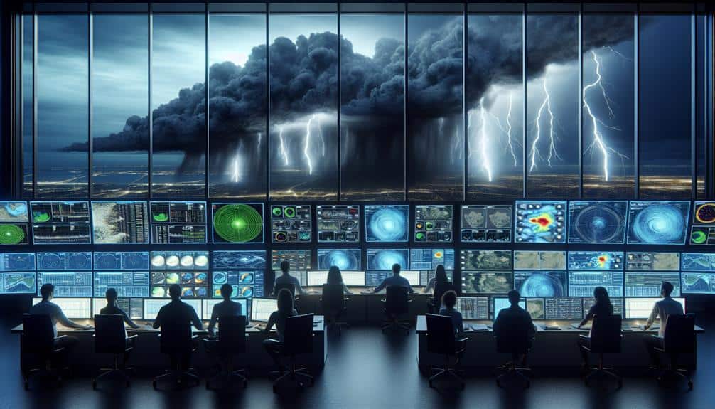
In storm chasing, we rely on multiple forecasting methods for precision and safety. We start with weather models like GFS and NAM, integrating real-time data and predictive algorithms to assess atmospheric variables. Doppler radar provides insights into precipitation velocity and storm intensity, while satellite imagery tracks cloud formations and temperature gradients. Analyzing atmospheric soundings helps us understand vertical profiles and wind shear, essential for predicting storm potential. Nowcasting techniques, which include real-time radar and lightning data, refine our short-term forecasts. Each method brings unique data that, when combined, enhances our ability to chase storms effectively and stay ahead of severe weather events.
Key Points
- Combine outputs from multiple weather models to enhance forecast accuracy.
- Utilize Doppler radar to measure precipitation velocity and identify storm intensity.
- Interpret satellite imagery to monitor cloud formation and track storm development.
- Analyze atmospheric soundings to assess vertical profiles of temperature, humidity, and wind.
Understanding Weather Models
To effectively chase storms, we must leverage advanced weather models that integrate real-time data and predictive algorithms. These models are pivotal in our quest for precise storm predictions. By analyzing a multitude of variables—such as temperature, humidity, wind speed, and atmospheric pressure—weather models generate forecasts that guide our decision-making process.
Model interpretation is critical; it requires us to scrutinize the output of these models meticulously. We must understand the intricacies of different models, such as the Global Forecast System (GFS) and the North American Mesoscale (NAM) model, and how they handle dynamic atmospheric conditions. Each model has its strengths and weaknesses, and recognizing these helps us refine our predictions.
Forecast accuracy hinges on our ability to combine outputs from multiple models, thereby averaging out potential errors. Ensemble forecasting, a method where we run multiple simulations with slightly varied initial conditions, enhances our predictive capabilities. This approach gives us a probabilistic outlook rather than a deterministic one, allowing for a more nuanced understanding of potential storm paths and intensities.
Utilizing Radar Imagery
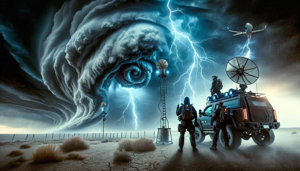
Leveraging radar imagery is necessary for real-time storm tracking and pinpointing severe weather phenomena. By utilizing Doppler radar, we can accurately measure the velocity and movement of precipitation, which is vital in identifying potential tornadoes, hailstorms, and severe thunderstorms. Doppler radar provides us with detailed data on wind speeds and direction within a storm, allowing us to detect mesocyclones and other rotational features within supercells.
In our analytical approach, we prioritize reflectivity and velocity products from the radar. High reflectivity values indicate heavy precipitation, which can clue us into the intensity and potential hazards of a storm. Meanwhile, velocity data helps us discern wind patterns and shear, which are important for forecasting tornado development.
By integrating these data points, we can enhance our storm tracking capabilities, adjusting our chase routes in real-time to stay ahead of the most dangerous weather.
We also rely on dual-polarization technology, which offers insights into precipitation type and storm structure. This advanced radar capability allows us to differentiate between rain, hail, and debris, providing a more thorough understanding of storm dynamics. By harnessing these radar technologies, we're better equipped to navigate the unpredictability of severe weather, offering us the freedom to chase responsibly and effectively.
Interpreting Satellite Data
How can we maximize the value of satellite data in storm chasing forecasting?
First, we need to focus on satellite interpretation to identify key atmospheric patterns. High-resolution satellite imagery allows us to monitor cloud formation, temperature gradients, and moisture levels in near real-time. By analyzing these parameters, we can pinpoint areas of convective development and potential storm genesis.
One critical aspect is tracking cloud top temperatures. Colder cloud tops often indicate stronger updrafts, which are essential for severe storm development. Infrared satellite data provides detailed thermal information, enabling us to assess storm strength and potential intensity.
Moreover, satellite data aids in storm tracking by offering continuous coverage over large areas. This is particularly valuable in regions where radar coverage may be limited. By integrating satellite-derived wind vectors, we can estimate storm movement and predict its path more accurately.
We also utilize multispectral satellite imagery to differentiate between various cloud types and precipitation. This helps us identify supercell structures and other significant weather phenomena. Effective satellite interpretation, combined with other meteorological data, empowers us to make informed decisions, enhancing our ability to chase and document severe weather events successfully.
Analyzing Atmospheric Soundings
Analyzing atmospheric soundings provides essential vertical profiles of temperature, humidity, and wind, enabling us to assess the stability and potential for severe weather development. By examining these profiles, we can identify temperature inversions, which often cap atmospheric instability and inhibit storm development. However, if the inversion breaks, the release of accumulated energy can result in explosive storm growth.
We also scrutinize wind shear, which refers to changes in wind speed and direction with height. Significant wind shear can organize storm systems and enhance their intensity. For instance, a strong low-level jet juxtaposed with weaker upper-level winds can create the necessary environment for supercells and tornadoes.
Atmospheric soundings allow us to pinpoint layers of moisture that contribute to storm potential. High humidity at lower levels, coupled with dry air aloft, can lead to severe weather through processes like evaporative cooling, which intensifies downdrafts.
Moreover, soundings provide a snapshot of atmospheric instability, often quantified by parameters like Convective Available Potential Energy (CAPE) and Lifted Index (LI). High CAPE values indicate a volatile atmosphere primed for storm development. Together, these data-driven insights enable us to make informed decisions and embrace the freedom to chase storms effectively and safely.
Applying Nowcasting Techniques
Building on our understanding of atmospheric soundings, we can enhance real-time forecasting accuracy through the application of nowcasting techniques. By integrating high-resolution radar data and satellite imagery, we create a more precise and immediate storm prediction model.
Nowcasting enables us to monitor storm intensity changes in real time, allowing for quicker and more informed decision-making.
Implementing nowcasting techniques involves:
- Utilizing Doppler radar: This provides real-time tracking of storm cells, their velocities, and potential rotation, vital for identifying tornado formation.
- Satellite data analysis: Infrared and visible satellite imagery offer insights into storm development and the movement of mesoscale convective systems.
- Lightning detection networks: These systems help track storm intensity by measuring lightning frequency and distribution.
- Weather station data: Surface observations provide ground truth, validating radar and satellite interpretations.
Frequently Asked Questions
How Can Social Media Enhance Storm Chasing Accuracy?
Social media enhances storm chasing accuracy by providing real-time updates and verification. Community engagement and live streaming foster immediate data sharing, helping us make informed decisions and improve our forecasting precision while maintaining our freedom to choose safe paths.
What Safety Measures Should Storm Chasers Follow?
We must prioritize emergency response by maintaining robust communication strategies. Let's use GPS tracking, real-time weather updates, and reliable radio systems to guarantee safety. Our data-driven approach minimizes risks, giving us the freedom to chase storms effectively.
How Do Local Geography and Terrain Affect Storm Development?
Geography impacts storm development like a sculptor shapes clay, defining storm paths and intensity. Terrain influences storm behavior by altering wind patterns and moisture levels. We'll analyze elevation data and land cover to predict storm dynamics accurately.
What Essential Gear Should Storm Chasers Pack?
For the Current Question, we should pack emergency supplies and reliable communication devices. Data-driven analysis shows these items maximize safety and efficiency. Essential gear guarantees we're prepared for unpredictable conditions, granting us the freedom to chase storms responsibly.
How Can Past Storm Data Improve Future Forecasting?
Analyzing past storm data can enhance future forecasting by 30%. We refine our predictive modeling through rigorous data analysis, understanding climate patterns, and atmospheric conditions, enabling us to anticipate severe weather with greater accuracy and reliability.