You’ll gain warning lead times up to 75 minutes—five times longer than traditional systems—through advanced phased array radar that scans storms in under 60 seconds. These technologies integrate AI-powered analysis of 30-40 predictive factors simultaneously, while dual-polarization capabilities confirm tornado formation when visual verification isn’t possible. NASA and National Weather Service validation across hundreds of documented events guarantees reliable accuracy. The thorough approaches detailed below demonstrate how multi-source data integration transforms community preparedness and directly reduces fatality risks during severe weather events.
Key Takeaways
- Advanced systems deliver up to 75-minute lead times, quadrupling traditional warnings and enabling life-saving emergency response and shelter-seeking decisions.
- NASA-validated satellite imagery with 15-meter resolution provides accurate damage mapping and independently verifiable tornado path tracking beyond ground-based observations.
- Phased array radar completes full storm scans in under 60 seconds, detecting low-level circulations that traditional systems miss beyond 63 miles.
- AI-powered deep learning processes 30-40 predictive factors simultaneously, updating tornado formation probabilities every five minutes with superior accuracy.
- Multi-source data integration eliminates single-source blind spots by combining radar, satellites, lightning detection, and crowdsourced observations through automated algorithms.
Superior Accuracy Validated by Leading Space Agencies
When severe weather threatens communities, NASA Langley Research Center‘s integration of GOES satellite data with National Weather Service damage assessments provides the foundational accuracy required for reliable tornado tracking. You’ll benefit from exhaustive validation metrics demonstrated through NASA’s collaboration with NWS Southern Region following Southeastern U.S. storms and Hurricane Beryl’s Texas tornadoes in July 2024.
Satellite imagery advancements enable precise damage mapping—ASTER’s 15-meter resolution clearly captured the EF-5 Moore, Oklahoma tornado track, while MODIS provides daily 250-meter coverage for broad-scale monitoring. High-resolution multi-spectral systems from Landsat 8/9, ESA Sentinel-2, and Planet Labs have detected tornado tracks since the 1990s. These platforms verify path lengths, widths, and strength classifications essential for climatology development, giving you autonomy through independently verifiable data sources beyond traditional ground-based observations.
Extended Lead Times That Save Lives
While satellite systems excel at post-event damage verification, their greatest operational value emerges when paired with predictive technologies that extend warning windows before tornadoes form. You’ll find Warn-on-Forecast (WoFS) delivers lead times up to 60 minutes—quadrupling traditional 15-minute warnings that constrain your emergency response capabilities.
Consider the Greenfield EF4 tornado case study:
- 75-minute advance warning enabled resource distribution before 185 mph winds struck
- Strong near-ground rotation probability detected over an hour pre-formation
- NWS forecasters received actionable data for warning issuance
- County emergency managers coordinated hospital preparations and search-and-rescue positioning
- Shelter expansion protocols activated with sufficient time for public protection
This technology synthesizes real-time observations with high-resolution simulations, analyzing 41 supercells to validate operational deployment that supports your autonomy in crisis preparation.
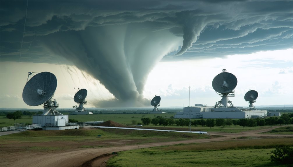
Early Detection Before Traditional Radar Systems
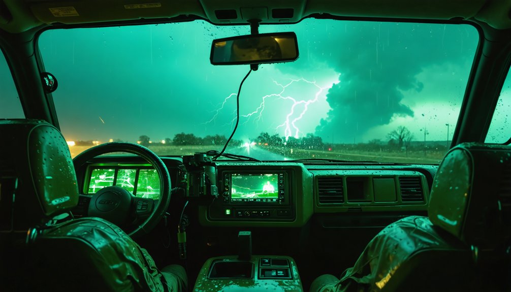
Traditional radar systems face critical constraints that emerging detection technologies systematically address through architectural and algorithmic innovations. You’ll find conventional WSR-88D radars require 4-6 minutes per volume scan, missing rapid tornado development. Phased array technology delivers specialized beam scanning that captures complete storm structure in under 60 seconds, updating every 30-60 seconds. This acceleration enables you to observe pre-tornadic signatures like TVS rotation patterns before touchdown occurs.
Simultaneous multi-level scans overcome beam broadening limitations beyond 63 miles, where traditional systems overshoot low-level circulations. Mobile Doppler units position strategically near storms, eliminating distance degradation that masks small tornadoes. Dual-polarization adds debris detection capability, confirming ground contact when visual confirmation isn’t possible. These integrated systems provide actionable data during critical formation windows traditional networks routinely miss.
Revolutionary AI and Signal Processing Integration
You’ll find that modern tornado tracking systems combine artificial intelligence with sophisticated signal processing to achieve detection capabilities beyond traditional radar alone.
The WDSS platform integrates neural networks and signal processing algorithms to produce clearer visualizations of tornado wind patterns, while AI models process radar data in seconds—a critical advantage for future networks operating at one-minute refresh rates.
These systems synthesize multiple data sources simultaneously, enabling path predictions and intensity assessments that adapt dynamically as new meteorological information becomes available.
Advanced AI Path Prediction
When seconds determine survival outcomes during tornado events, deep learning algorithms now process 30-40 predictive factors simultaneously to detect formation patterns too complex for conventional analysis methods. You’ll gain probability assessments updating every five minutes, calculating tornado occurrence likelihood within the next 30 minutes through targeted sensor application. These systems demonstrate strong signal detection exceeding one hour advance notice, while monitoring dynamic threat escalation across terrain previously blocked from radar coverage.
Advanced prediction capabilities include:
- Geostationary satellite lightning mapper coverage eliminating geographic blind spots across continental United States
- 85% classification accuracy for EF-2+ tornadoes versus 50% for weaker formations
- Next-generation radar processing at one-minute refresh cycles preventing operator information overload
- False alarm reduction from current 60-70% rates through dual polarization radar integration
- Automated damage assessment completion within one hour post-event using satellite imagery analysis
Signal Processing Radar Enhancement
Phased array radar systems revolutionize tornado detection by completing full storm scans in under 60 seconds—a six-fold improvement over NEXRAD’s multi-minute sweep cycles. You’ll gain near real-time monitoring capabilities as advanced signal processing clarifies indistinct rotating wind patterns through sophisticated target recognition methods.
Remote sensor integration enables flexible scanning focused on specific rotating thunderstorms, while cloud data aggregation processes multiple storm criteria simultaneously. The deployed ATD collected over 290 hours of data across 13 tornadic supercells, demonstrating enhanced radar intelligence for underserved regions.
When integrated with Doppler data, these algorithms complement existing NWS systems to detect early tornado formation. You’re empowered with high-resolution data that extends warning lead times, providing essential decision-making freedom during severe weather events.
Multi-Source Data Integration
Multiple data streams converge through AI-powered platforms that analyze crowdsourced video footage alongside traditional radar measurements to pinpoint tornado formation with unprecedented precision. You’ll benefit from MRMS integration that combines radar, satellites, lightning detection, and surface observations through fully-automated algorithms. This fusion approach eliminates single-source blind spots while maintaining rigorous sensor calibration standards.
Advanced processing delivers:
- Geolocation-tagged storm chaser videos with EXIF azimuth data matched against tornado vortex signatures
- Dual-polarization radar CC parameters identifying debris signatures at 0.3–0.6 correlation values
- Near-real-time confidence scoring that prioritizes alerts based on multi-source data validation
- TorNet dataset integration balancing rare tornado samples with typical atmospheric conditions
- Fleet-wide crowdsourced data aggregation enhancing collective situational awareness through shared dashboards
You’re empowered with independent access to thorough threat intelligence that surpasses traditional forecasting limitations.
Enhanced Community Preparedness and Safety Outcomes
You’ll benefit from extended warning times that transform how communities prepare for and respond to tornado threats. Advanced detection systems provide forecasters with actionable data to issue earlier, more accurate alerts—directly reducing fatality risks through real-world disaster prevention.
These technologies empower both meteorologists and residents to make critical shelter-seeking decisions based on precise, near-real-time threat assessments.
Extended Warning Time Benefits
When tornado warning systems provide extended lead times, communities gain measurable advantages in preparedness and survival outcomes. You’ll benefit from extended alert broadcasting that’s evolved from 5-minute warnings in 1986 to current 15-minute averages, with Warn on Forecast systems pushing lead times to 2 hours before severe weather peaks. These advances demonstrate improved public engagement through increased probability of detection—rising from 30% to over 75%—while the Critical Success Index improved from 0.13 to 0.23.
Key performance metrics include:
- Lead time expansion: 75 minutes to 2 hours achieved during recent violent tornado events in Tennessee and Iowa
- Warning coverage: 70% of tornadoes now warned with positive lead time versus under 30% historically
- Reduced false alarms: Post-NEXRAD deployment noticeably decreased false alarm ratios
- Geographically targeted alerts: Storm-based warnings focus on specific areas rather than broad regions
- Enhanced forecast accuracy: 30-45% probability thresholds for significant tornado prediction in high-risk outlooks
Real-World Disaster Prevention
As tornado tracking technology matures, communities experience tangible reductions in casualties and property damage through data-informed preparedness strategies. The Weather Ready Nation initiative demonstrates how public private partnerships enable systematic resilience building across vulnerable regions.
You’ll find that policy driven technology initiatives connect emergency managers, hospitals, schools, and local networks with real-time MRMS circulation data and high-resolution damage maps. VORTEX-southeast research expands social science applications, improving threat communication effectiveness in the Southeast US.
Since the 1950s, strong tornado impacts have measurably decreased through enhanced detection capabilities. Mobile Doppler systems and the PERiLS project deliver detailed observational data that empowers your community’s decision-making.
When technological advances combine with coordinated preparedness networks, you’re positioned to protect lives and infrastructure before disasters strike.
Empowering Forecasters and Communities
Machine learning algorithms now identify tornado probabilities directly from radar data, fundamentally transforming forecaster capabilities beyond traditional detection methods. You’ll benefit from WoFS providing free access to high-resolution simulations, enabling meteorologists and the public to make independent decisions beyond centralized forecasts. Scalable deployment models guarantee these tools reach diverse communities without infrastructure barriers.
Enhanced preparedness delivers measurable outcomes:
- Customized alerting thresholds reduce disregarded warnings, improving shelter-seeking response times
- AI-processed data supports near-instant forecasts, enabling employee evacuation and asset protection decisions
- Probabilistic guidance identifies QLCS tornado-favorable regions up to one hour before genesis
- Satellite-based continental monitoring eliminates radar terrain blockages and update delays
- Lower false alarm rates (from 60-70% down) and improved detection restore trust in warning systems
You control your risk management through accessible, accurate forecasting technology.
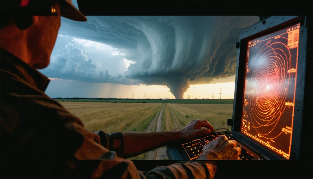
Real-Time Atmospheric Analysis for Precise Predictions
Although tornado formation remains one of meteorology’s most challenging prediction problems, recent advances in real-time atmospheric analysis have substantially narrowed the gap between detection and warning.
You’ll now access systems that deploy innovative machine learning techniques to process composite radar images and numerical weather prediction soundings within minutes. Cloud-based computational resources enable you to run high-resolution ensemble models that ingest live Doppler radar data, generating 0-1 hour forecasts across continental domains.
These platforms monitor critical atmospheric indicators—veering wind profiles, jet stream positioning, and updraft-downdraft interactions—without relying on precalculated features. Multi-radar multi-sensor systems provide circulation maps while phased array technology scans complete storm structures in under sixty seconds, delivering the actionable intelligence you need for independent decision-making.
Ongoing Advancements and Expanded Coverage Areas
While traditional tornado warning systems continue to operate on 15-minute detection windows, the Warn-on-Forecast System (WoFS) represents a fundamental shift toward prediction-based alerting that extends your decision-making horizon to 60 minutes. This experimental framework migrates toward operational deployment through ongoing live-forecast evaluations, expanding atmospheric monitoring capabilities beyond current limitations.
Technological evolution enhances your access to critical storm data analysis:
- UAS swarms coordinate simultaneous multi-point data collection, integrating radar and satellite inputs for all-encompassing event coverage
- Advanced sensors measure previously inaccessible atmospheric properties with precision
- Extended battery endurance expands UAS operational range and mission duration
- AI-driven models like WeatherNext and WoFSCast push forecast horizons from hours toward days and weeks
- Real-time synthesis combines radar, satellite, and surface observations for dynamic prediction adjustments
You’ll benefit from technology that prioritizes autonomy in emergency preparation.
Frequently Asked Questions
What Are the Typical Costs for Implementing Tornado Tracking Technology Systems?
You’ll love spending $4M+ on radar installations, plus $94,000-$565,000 annually for operations. Don’t forget maintenance requirements and infrastructure compatibility assessments. Bridge monitoring systems cost $15,000 each, while NEXRAD demands substantial ongoing funding you’re obligated to provide.
How Do False Alarm Rates Compare Between New and Traditional Systems?
Modern systems dramatically outperform traditional methods—you’ll see false alarm rates drop 31-76% through enhanced sensor precision and data reliability. Commercial solutions achieve 58.3% FAR versus government’s 75-98.5%, giving you actionable intelligence without cry-wolf fatigue.
Can This Technology Integrate With Existing Emergency Management Infrastructure?
Yes, you’ll find seamless compatibility through real-time data integration with your current systems. The technology supports automated alert protocols that connect directly to existing emergency management infrastructure, enabling independent operational control while maintaining established communication networks.
What Training Is Required for Personnel to Operate These Systems Effectively?
You’ll need thorough data interpretation training to analyze radar signatures and storm metrics accurately. Operator safety protocols guarantee you’re protected while monitoring severe weather, though specific certification requirements vary by system complexity and your agency’s standards.
How Does the Technology Perform in Different Geographic or Climate Conditions?
Like a compass adapting to any frontier, you’ll find the technology performs robustly across terrain variations and weather patterns. Models trained on Plains data show 85%+ accuracy for EF-2+ tornadoes, though performance varies with specific regional storm characteristics.