We've identified the top seven automated storm data collection devices to optimize storm tracking and predictions. Doppler radar systems offer high-resolution weather maps through precise velocity and precipitation data. Portable weather stations provide continuous, localized atmospheric data. Tornado drones deliver real-time, high-resolution aerial observations. Mobile mesonets capture ground-based meteorological data, enhancing storm analysis. Automated weather balloons gather essential upper-atmosphere data cost-effectively. Remote sensing satellites track large-scale atmospheric events globally, while lightning detection networks provide real-time insights on strike frequency and intensity. Together, these tools greatly improve our storm preparedness and predictive capabilities. Discover the full potential of each.
Key Points
- Doppler Radar Systems offer high-resolution weather maps and precise storm dynamics data through real-time monitoring.
- Portable Weather Stations enable continuous, localized atmospheric data collection in remote environments with solar-powered sensors.
- Tornado Drones provide high-resolution aerial observations and detailed data on tornado formations and dynamics.
- Mobile Mesonets deliver ground-based meteorological measurements, enhancing storm analysis and forecasting with deployment flexibility.
Doppler Radar Systems
Doppler radar systems, leveraging the Doppler effect, enable meteorologists to measure velocity and precipitation intensity with remarkable accuracy. By emitting microwave signals and analyzing the frequency shift upon reflection, we obtain precise data on storm dynamics. This data accuracy is vital for predicting weather patterns, issuing warnings, and ensuring public safety.
Integrating Doppler radar systems with broader meteorological networks enhances our ability to conduct real-time monitoring. Data from multiple radars can be combined to create detailed, high-resolution weather maps, enabling us to track storm development minute by minute. This integration is essential for timely interventions and effective disaster management.
However, achieving such precision and integration comes with its own set of challenges. The maintenance costs for these sophisticated systems can be significant. Regular calibration and repairs are essential to maintain data accuracy, which can strain operational budgets.
Despite these costs, the investment pays off through improved predictive capabilities–the potential to save lives and property.
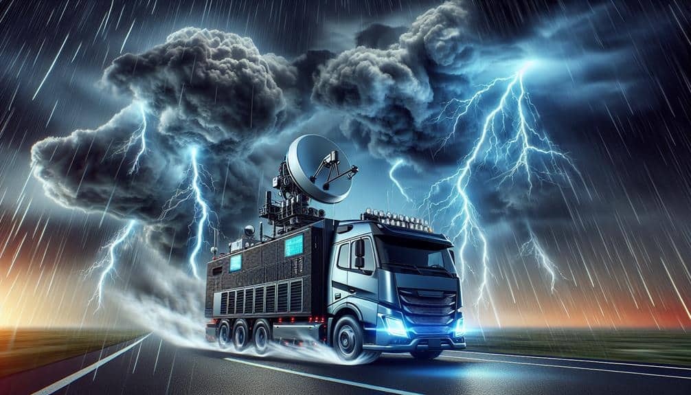
Portable Weather Stations
Portable weather stations provide a versatile solution for capturing localized atmospheric data, offering essential insights for meteorological analysis in remote or rapidly changing environments. These compact units are equipped with an array of solar powered sensors that guarantee continuous operation without reliance on external power sources. By harnessing solar energy, these sensors maintain functionality even in off-grid locations, giving us the freedom to collect data where traditional systems fail.
Real-time monitoring is a standout feature of these devices. With instantaneous data transmission, we can track weather patterns as they develop, allowing for proactive decision-making. For example, temperature, humidity, wind speed, and barometric pressure readings are relayed to centralized systems, enabling immediate analysis and response. This capability is vital for storm prediction and mitigation, offering a level of precision that static systems can't match.
Moreover, the portability aspect means we can easily deploy these stations in diverse terrains—whether atop a mountain or in the heart of a forest. The flexibility to move and adapt based on the storm's trajectory enhances our ability to capture critical data. Overall, portable weather stations represent a blend of technological innovation and practical application, empowering us to stay ahead of unpredictable weather events.
Tornado Drones
Tornado drones are revolutionizing storm data collection by providing high-resolution, real-time aerial observations of tornado formations and behaviors. Utilizing advanced drone technology, we can now gather critical data from within and around tornadoes, enhancing our storm tracking capabilities. These drones are equipped with sensors that measure wind speed, humidity, temperature, and barometric pressure, delivering detailed data sets that were previously unattainable through traditional ground-based methods.
In our tornado research, aerial data collection offers unprecedented opportunities. Drones can safely navigate the hazardous environments that tornadoes create, allowing us to study their structure and dynamics up close. This ability to capture real-time data from the center of the storm provides invaluable insights into tornado genesis, evolution, and dissipation. Consequently, our predictive models have become more accurate, bolstering early warning systems and ultimately saving lives.
The agility and versatility of drone technology also mean that we can deploy these devices rapidly in response to emerging storm threats. By leveraging their real-time storm tracking capabilities, we gain a tactical advantage in anticipating tornado paths and potential impact zones. This proactive approach empowers us to make informed decisions, enhancing our overall storm preparedness and response strategies.
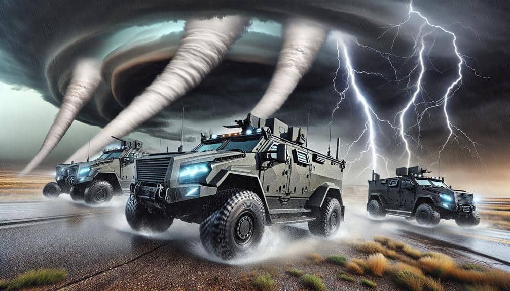
Mobile Mesonets
Often, mobile mesonets serve as vital tools in our storm data collection arsenal, providing real-time, ground-based meteorological measurements that enhance our understanding of severe weather events. These mobile stations are equipped with high-precision sensors to capture essential data such as temperature, humidity, wind speed, and pressure. By ensuring data accuracy, mobile mesonets allow us to gather reliable information directly from the storm environment.
One of the key advantages of mobile mesonets is their deployment flexibility. We can rapidly position these units in various locations to capture localized storm data, which is often unattainable through stationary systems. This flexibility is important when tracking fast-moving storms where conditions can change rapidly over short distances. Real-time monitoring capabilities mean that we receive instantaneous updates, allowing us to make timely decisions based on evolving storm dynamics.
Furthermore, mobile mesonets excel in data integration. The information collected can be seamlessly integrated with other data sources, such as radar and satellite imagery. This detailed dataset enhances our ability to model and predict storm behavior accurately. By leveraging mobile mesonets, we greatly improve our storm analysis and forecasting capabilities, empowering us to respond more effectively to severe weather threats.
Automated Weather Balloons

Automated weather balloons, equipped with advanced sensors, provide essential upper-atmosphere data that enhances our ability to analyze and predict severe weather phenomena. These devices are crucial in capturing high-resolution data on temperature, humidity, pressure, and wind speeds at various altitudes. Their data accuracy is unparalleled, offering a precise profile of atmospheric conditions.
From a cost-efficiency standpoint, automated weather balloons are a game-changer. They can be deployed at a fraction of the cost compared to other data collection methods, making them accessible for a wide range of meteorological applications. Their ability to provide real-time monitoring guarantees we've up-to-the-minute information, which is vital for forecasting and issuing timely warnings.
Long-term reliability is another crucial advantage. These balloons are designed to endure harsh atmospheric conditions, guaranteeing consistent data collection over extended periods. This reliability is essential for building comprehensive weather models and understanding climatic trends.
In essence, automated weather balloons empower us with accurate, cost-effective, and reliable data, enhancing our freedom to predict and prepare for severe weather. By leveraging these tools, we can significantly enhance our meteorological capabilities and safeguard communities against storm-related hazards.
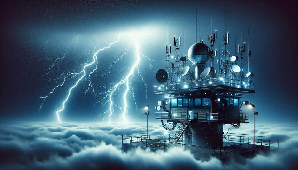
Remote Sensing Satellites
Remote sensing satellites offer a detailed, high-resolution view of atmospheric conditions, allowing us to monitor and analyze weather patterns from space with unprecedented precision. By utilizing advanced satellite imagery analysis, we can track storm development, precipitation, wind speeds, and cloud cover in real-time. These satellites utilize various sensors, such as radiometers and spectrometers, to capture data across multiple wavelengths, providing extensive insights into meteorological phenomena.
Our capability to integrate satellite data into meteorological modeling simulations improves predictive accuracy. By incorporating satellite-derived information on temperature, humidity, and atmospheric pressure, we can enhance our models to better forecast storm trajectories and intensities. This not only assists in early warning systems but also supports disaster preparedness and risk mitigation strategies.
Moreover, remote sensing satellites offer the freedom to observe weather patterns globally, without the limitations of ground-based systems. This global perspective is vital for tracking large-scale atmospheric events, such as hurricanes and typhoons, across vast oceanic expanses. The continuous flow of data from these satellites guarantees we've up-to-date information, empowering decision-makers and the public with timely, actionable intelligence.
Essentially, remote sensing satellites are a fundamental component of modern meteorological science, propelling advancements in weather prediction and climate research.
Lightning Detection Networks
Building on the detailed insights provided by remote sensing satellites, lightning detection networks offer real-time data on lightning strikes, enabling precise monitoring and analysis of storm activity. These networks utilize a combination of ground-based sensors and sophisticated algorithms to detect and triangulate the exact location of lightning events. By generating high-resolution datasets, they enhance our thunderstorm prediction capabilities to a great extent.
We can't overlook the importance of accuracy in lightning strike analysis. With detection systems such as the National Lightning Detection Network (NLDN) and the World Wide Lightning Location Network (WWLLN), we've seen detection efficiency rates reaching up to 95%. These networks provide critical data, including the intensity and frequency of lightning strikes, which are invaluable for forecasters in predicting severe weather events.
Furthermore, integrating data from lightning detection networks with other meteorological information offers a thorough approach to storm analysis. This integration allows us to develop more effective early warning systems, thereby empowering communities with the freedom to prepare and respond proactively. The real-time nature of these networks ensures that we stay ahead of the storm, making informed decisions that can lessen the impact of severe weather.
Frequently Asked Questions
How Do Automated Storm Data Devices Impact Emergency Response Times?
Automated storm data devices improve emergency response times by enhancing response effectiveness. With real-time monitoring and early warnings, we get accurate data, enabling quicker, data-driven decisions that ultimately save lives and protect our freedom.
What Is the Cost Range for Maintaining These Devices Annually?
We need to conduct a thorough cost analysis to determine the annual maintenance schedule. Typically, maintaining these devices costs between $5,000 to $20,000 annually, depending on complexity and frequency of service required.
Can These Devices Predict the Impact on Local Infrastructure?
When we talk about impact assessment, these devices can indeed offer insights into infrastructure vulnerability. By analyzing collected data, they help us foresee potential weaknesses and prepare for storm impacts, promoting greater resilience and freedom.
Are There Any Cybersecurity Risks Associated With These Devices?
We need to assess data privacy and network vulnerability with these devices. Cybersecurity risks can compromise sensitive data and disrupt operations. Ensuring encrypted communications and robust security protocols minimizes these threats, safeguarding our networks and maintaining operational freedom.
How Do These Devices Compare to Traditional Storm Data Collection Methods in Accuracy?
Imagine a master chef's precision vs. an amateur's guesswork. That's our accuracy comparison. Automated devices enhance data reliability, impact assessment, and minimize infrastructure vulnerability, outperforming traditional methods in capturing precise storm metrics consistently.