Drones revolutionize hurricane research through five critical applications you’ll find essential: They penetrate the hurricane core to measure 3D wind vectors, pressure, and temperature profiles from 9,000 meters above to 1,000 meters below the surface. They capture near-surface turbulent boundary layer data, recording vertical velocities up to 100 feet per second. They’ve enabled AI systems to predict rapid intensification with 92.3% accuracy by detecting atmospheric and oceanic signatures. They quantify ocean-atmosphere energy exchange through coordinated missions with underwater platforms. Post-storm, they conduct damage assessments 5-7× faster than ground surveys. The following sections detail how each application transforms forecasting capabilities.
Key Takeaways
- Drones collect critical 3D wind, pressure, temperature, and humidity data inside hurricane cores alongside coordinated ocean measurements.
- Multi-rotor and fixed-wing drones measure turbulent boundary layer winds and atmospheric fluxes near the ocean surface during extreme conditions.
- Drones capture atmospheric signatures like humidity and heat fluctuations that help AI systems predict rapid intensification with 92.3% accuracy.
- Coordinated drone deployments quantify energy and momentum exchanges at the ocean-atmosphere interface, improving intensity forecasts through dynamic modeling.
- Post-storm UAVs provide high-resolution infrastructure assessment, flood mapping, and debris identification 5-7× faster than traditional ground surveys.
Collecting Critical Data Inside the Hurricane Core
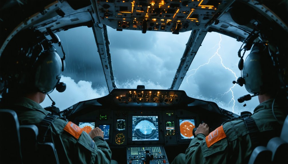
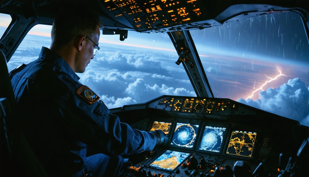
When uncrewed aircraft penetrate a hurricane’s core, they deploy an arsenal of sophisticated sensors that capture atmospheric conditions with unprecedented precision. You’ll find these systems sampling atmospheric instability through multi-hole probe sensors that simultaneously measure 3D wind vectors, pressure, temperature, and humidity.
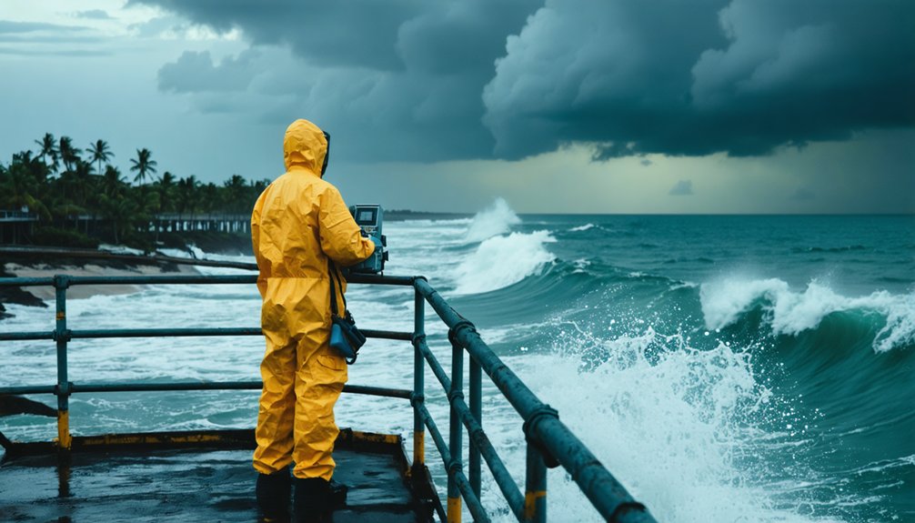
The SwiftFlow 3D Wind Sensor integrates magnetometer and IMU technology with fusion algorithms to deliver exhaustive wind environment data, including airspeed and angle-of-attack measurements. Beyond aerial capabilities, coordinated operations monitoring subsurface ocean temperatures utilize Saildrone platforms transmitting real-time water temperature, salinity, and wave characteristics.
This multi-layer approach creates complete environmental profiles from 9,000 meters above the surface to 1,000 meters below, while dropsondes provide vertical atmospheric cross-sections with data transmission multiple times per second.
Measuring Near-Surface Winds in Extreme Conditions
The most challenging measurement zone in hurricane research exists within the turbulent boundary layer—that chaotic region where the ocean surface transfers massive energy into the storm system. You’ll find drones eliminating the “measurement void” that’s plagued hurricane physics for decades.
Embry-Riddle teams deploy multi-rotor and fixed-wing aircraft recording vertical velocities of 100 feet per second—potentially Earth’s highest turbulence measurements. These platforms use eddy covariance techniques with multi-hole probe sensors for direct atmospheric flux measurement within hundreds of feet of the ocean surface where winds exceed 150 mph.
Saildrone USVs have documented hurricane-force winds 64+ knots seven times since 2021, tracking spatial variations while identifying turbulence hotspots. Step descent protocols enable sustained data collection at critical altitudes, capturing pressure, temperature, and humidity profiles previously impossible to obtain.
Enhancing Rapid Intensification Predictions
Because rapid intensification (RI) remains the most confounding challenge in tropical cyclone forecasting, drone-based measurement systems now target the precise atmospheric and oceanic signatures that precede sudden strength increases.
You’ll find Altius drones capturing humidity and heat fluctuations within 500 feet of the ocean surface, modeling storm energy parameters that traditional instruments can’t access. Meanwhile, Saildrone USVs transmit real-time measurements of sea surface temperature, salinity deficiencies, and low-level wind profiles directly into operational models, improving forecast algorithms by providing continuous data streams during 125 mph conditions.
AI systems analyzing this drone-derived data achieve 92.3% accuracy in distinguishing RI events—a 12% improvement over conventional methods. Combined with vortex alignment profiling and tangential wind field depth measurements, these platforms deliver the structural insights you need for reliable RI prediction.
Studying Ocean-Atmosphere Energy Exchange
Understanding hurricane intensification requires quantifying the precise energy and momentum fluxes occurring at the volatile ocean-atmosphere interface—a measurement challenge that drone technology has now made operationally feasible. Saildrones now measure near-surface atmospheric and upper-ocean parameters simultaneously, calculating real-time energy transfer where storms extract fuel through evaporation.
You’ll find coordinated deployments with underwater gliders create complete profiles from 9,000 meters above surface to 1,000 meters below, capturing temperature and salinity gradients that determine intensity forecasts. Multi-rotor drones deliver hourly vertical atmospheric profiles for measuring boundary layer instability, while fixed-wing aircraft calculate turbulence characteristics.
This capability enables quantifying moisture transport dynamics that traditional satellite and aircraft observations can’t resolve, directly improving hurricane intensity prediction accuracy through dynamic ocean condition representation rather than static model assumptions.
Supporting Post-Storm Damage Assessment and Recovery
While atmospheric research drones capture energy dynamics during active hurricane events, post-landfall operations shift focus to quantifying structural and environmental damage across affected regions. You’ll deploy UAVs equipped with 3cm-per-pixel resolution sensors for infrastructure assessment, documenting compromised buildings, power grids, and transportation networks. AI systems trained on multi-hurricane datasets enable real-time damage classification without bureaucratic delays.
High-resolution UAVs document post-hurricane infrastructure damage in real-time, accelerating recovery efforts through AI-powered assessment that eliminates traditional evaluation delays.
Critical deployment capabilities include:
- Flood extent mapping covering 499 linear miles with 20,507 georeferenced images
- Debris identification pinpointing 1,400+ damage sites 5-7× faster than ground surveys
- 3D structural modeling supporting independent insurance documentation
- LiDAR terrain analysis predicting future flood vulnerabilities
End-to-end workflows integrate autonomous flight planning, thermal imaging, and AI-processed deliverables shared directly with recovery teams—bypassing traditional assessment bottlenecks.
Frequently Asked Questions
How Long Can Hurricane Drones Remain Operational During a Storm?
Hurricane drones can fly eternally—well, nearly—with some models achieving four-hour operational endurance despite battery life constraints. You’ll find the Altius-600 demonstrated 102-minute flights during Hurricane Ian, enabling exhaustive weather data collection across extensive storm areas.
What Happens to Drones if They Crash in the Ocean?
When your drone crashes in the ocean, you’ll face saltwater damage to electronics and potential data loss. Recovery depends on depth and location—shallow crashes allow retrieval, but deep-sea wrecks remain unrecoverable, resulting in complete equipment loss.
How Much Does It Cost to Deploy Hurricane Research Drones?
Operational costs vary [ALTERNATIVE WORD] by platform: you’ll find Saildrone USVs run $208,000 annually per unit, while specialized equipment like Global Hawk systems cost $220 million each. NOAA’s total UAS program operates on approximately $5 million yearly.
Can Drones Predict Hurricane Paths or Only Measure Intensity?
Drones primarily measure intensity through boundary layer data, not predict paths independently. You’ll find they assess storm surge impacts and evaluate wind shear patterns, but track forecasts still rely on integrated models combining drone observations with Hurricane Hunter aircraft data.
Are Drone Operators at Risk When Flying Missions Into Hurricanes?
You’re not physically at risk—drones operate remotely while you remain safely positioned outside the storm zone. However, you’ll face weather data transmission risks from signal interference and must implement drone pilot safety measures against equipment loss in extreme conditions.