When you chase severe thunderstorms, you’re entering storms defined by hail ≥ 1 inch, wind gusts exceeding 50 knots, or tornado production. The U.S. logs roughly 100,000 thunderstorms annually, with 10% meeting severe criteria. Most concentrate from Texas to southern Minnesota, peaking spring through summer. Flash flooding, large hail, and destructive winds operate simultaneously, demanding split-second decisions. Understanding storm structure, hazard recognition, and certified spotter training transforms a dangerous pursuit into a disciplined, data-driven educational adventure worth exploring further.
Key Takeaways
- Severe thunderstorms produce hail ≥1 inch, wind gusts exceeding 57.5 mph, or tornadoes, making them powerful and potentially dangerous atmospheric events.
- The U.S. experiences roughly 100,000 thunderstorms annually, with about 10% classified as severe, concentrated from Texas to southern Minnesota.
- Storm chasers pursue severe weather for scientific research, data collection, and photography, ultimately improving forecasting models and public safety.
- Flash flooding causes more fatalities than tornadoes or lightning, making hazard awareness and early shelter decisions critical during storm chasing.
- Certified spotter training, the 30-30 lightning rule, and pre-planned escape routes are essential practices for responsible, safe storm chasing.
What Makes a Thunderstorm Severe?
What separates a severe thunderstorm from an ordinary one comes down to three measurable thresholds: hail at least 1 inch in diameter, wind gusts exceeding 50 knots (57.5 mph), or the production of a tornado. These aren’t arbitrary benchmarks—they mark the point where storm energy becomes structurally and physically dangerous.
You’ll find that convection drives everything. Warmed surface air rises rapidly, carrying moisture aloft and generating the instability that fuels intensity. When that process accelerates, hail size increases as updrafts suspend ice particles longer, and wind gusts strengthen as downdrafts push outward.
Every thunderstorm produces lightning by definition, but only storms crossing these thresholds earn the severe classification. Understanding this distinction gives you a measurable framework for evaluating risk before you ever leave your driveway.
Where and When Severe Thunderstorms Strike Most
Although severe thunderstorms can strike anywhere in the United States at any time of year, they concentrate heavily across a corridor stretching from Texas to southern Minnesota.
They peak during spring and summer afternoons and evenings when surface heating maximizes atmospheric instability. Seasonal patterns show that afternoon convective heating drives most outbreak events, while regional variations place the Gulf Coast, Southeast, and western states at elevated afternoon risk.
You’ll find no completely safe zone on the map — every region carries measurable exposure. The U.S. logs roughly 100,000 thunderstorms annually, with approximately 10% reaching severe classification.
Understanding these geographic and temporal concentrations lets you allocate chase resources efficiently, plan positioning during high-risk windows, and respond decisively when conditions shift faster than forecasts predict.
Why Storm Chasers Chase Severe Weather
When you ask why people chase severe thunderstorms, the answers span curiosity, science, media, recreation, and photography.
You might pursue storms to document a tornado’s structure, capture lightning on camera, or gather atmospheric data that advances meteorological research.
Whatever your motivation, storm chasing is a deliberate, goal-driven activity that demands you understand the hazards you’re actively seeking out.
Curiosity Drives Storm Chasers
Storm chasers pursue severe weather for a range of motivations—scientific research, media coverage, photography, and sheer curiosity about nature’s most violent atmospheric events. You don’t need a single reason to chase; many chasers combine multiple drives into one pursuit.
Observing storm energy firsthand—watching convective towers explode upward and cloud formation shift rapidly from cumulus to cumulonimbus—delivers data no textbook fully replicates. You’re analyzing atmospheric instability in real time, reading wind shear, moisture depth, and lifting mechanisms as they interact dynamically.
That freedom to observe and interpret raw meteorological processes is a core appeal. Whether you’re documenting supercell structure for science or capturing lightning on camera, curiosity functions as your primary engine—pushing you toward storms most people are running from.
Science and Media Coverage
Science and media coverage represent two of the most structured motivations behind storm chasing, each demanding different skills but sharing the same raw material—direct access to severe atmospheric events.
Scientists analyze weather patterns to refine forecasting models, replacing historical myths about storm behavior with empirical data. You’re collecting measurable variables—wind speed, pressure gradients, precipitation rates—that improve predictive accuracy.
Media chasers operate differently; you’re translating raw atmospheric violence into visual content that informs and alerts the public. Both roles require you to interpret rapidly shifting conditions without hesitation.
Your positioning decisions directly affect data quality or footage usability. Whether you’re deploying instruments or cameras, disciplined observation separates productive chasing from reckless exposure.
Understanding both motivations sharpens your situational awareness and reinforces why structured preparation defines every successful chase operation.
Recreation and Photography Goals
Not every chaser deploys instruments or files reports for a news desk—recreation and photography drive a significant share of storm-chasing activity, and these motivations carry their own operational demands. You’re pursuing atmospheric patterns shaped by historical impacts on weather science, and your goals demand disciplined positioning, timing, and risk assessment.
- You need ideal distance to capture structure without entering the hazard zone.
- Supercells produce the most photogenic wall clouds, mammatus formations, and lightning displays.
- Afternoon peak instability windows give you the highest probability of productive intercepts.
- You must pre-plan escape routes before committing to any shooting position.
- Lighting conditions shift rapidly, requiring you to balance exposure decisions against evolving storm dynamics.
Freedom in the field depends entirely on preparation before you ever leave the pavement.
The Hazards Waiting Inside Every Severe Storm
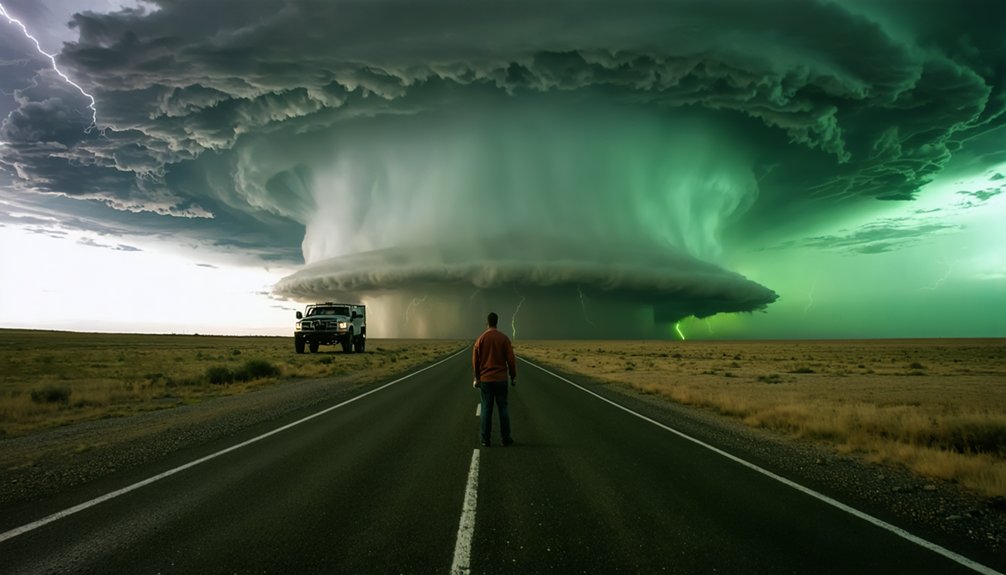
Every severe thunderstorm packages multiple, simultaneous threats that can shift faster than you can react. Understanding storm structure lets you move from passive observer to active analyst capable of real hazard anticipation.
Flash flooding kills more people annually than tornadoes, hurricanes, or lightning combined — a statistic most chasers underestimate. Lightning ignites fires and delivers fatal strikes without warning.
Hail reaching one inch or larger qualifies a storm as severe, but stones can exceed baseball size inside mature supercells. Destructive wind gusts exceeding 57.5 mph can overturn vehicles or collapse structures instantly.
Each hazard operates independently yet simultaneously within a single storm cell. You can’t neutralize one threat while ignoring another.
Disciplined chasers continuously cross-reference all active dangers rather than fixating on a single dramatic feature.
Lightning Safety Rules That Can Save a Chaser’s Life
When lightning’s flash-to-thunder interval drops to 30 seconds or less, you’re within roughly 10 km of the strike zone—act immediately and seek hard shelter.
Don’t rely on highway overpasses, which create dangerous wind tunnels and offer zero tornado protection, making them a poor choice during active severe weather.
You’ll survive more chases by making shelter decisions early, before conditions force a reactive scramble.
The 30-30 Lightning Rule
- Count seconds between lightning flash and thunder; 30 seconds or fewer means the storm is within 10 km.
- Seek hard shelter immediately — vehicles offer minimal lightning protection.
- Avoid overpasses entirely; they create wind tunnels and false security.
- Don’t resume chase positioning until 30 minutes pass after the last thunder.
- Cross-reference your position against live thunderstorm forecasts before repositioning.
Your freedom to chase depends on disciplined, data-driven decisions. The 30-30 Rule isn’t optional guidance — it’s your operational baseline for surviving the field.
Avoiding Dangerous Shelter Spots
Where you shelter during a lightning event can matter as much as whether you shelter at all. Not every structure offers real protection, and choosing the wrong one can turn a precaution into a liability.
Overpasses are a critical example. They’re not safe shelter during tornadoes, and storm chasers who stop beneath them block escape routes and expose themselves to channeled, high-velocity winds. Shelter safety demands hard structures with four walls, not open concrete alcoves.
Understanding storm structure helps you anticipate when shelter decisions become urgent. As a supercell reorganizes, hazards shift fast. You need to recognize those shifts early and commit to a clear escape route before conditions deteriorate.
Freedom in the field depends entirely on disciplined pre-storm planning and the refusal to accept false shelter as real protection.
Early Shelter Decision-Making
- A 30-second interval means lightning is striking roughly 10 km away.
- Delays in shelter decisions shrink your escape window exponentially.
- Vehicles offer zero tornado protection—hard shelter must be pre-identified.
- Pre-planned escape routes keep you mobile when storm behavior accelerates.
- Shifting weather patterns can rapidly reposition a storm’s most dangerous quadrant.
Act on data, not instinct. Early decisions preserve your freedom to chase another day.
How to Chase Severe Thunderstorms and Come Home Safe
Before you ever leave the driveway, understand that storm chasing combines meteorological knowledge, real-time decision-making, and strict safety discipline. Train as a certified storm spotter first—it sharpens your ability to read radar, identify rotation, and interpret weather alerts before conditions deteriorate.
In the field, maintain a safe distance from tornado paths, plan multiple escape routes, and never drive through standing water or heavy precipitation. Tornadoes can shift direction, accelerate, or widen within seconds, making your exit window dangerously narrow.
Apply the 30-30 Rule: if the flash-to-thunder gap is 30 seconds or less, the storm is within 10 km—act immediately. Chase with a partner, stay off overpasses, and trust your data over your instincts. Discipline preserves your freedom to chase another day.
Frequently Asked Questions
How Many Thunderstorms Occur Worldwide Each Year?
You’re looking at roughly 16 million thunderstorms annually worldwide, with about 2,000 active at any moment. Weather patterns and cloud formations drive this staggering data, giving you endless opportunities to analyze convective activity on your own terms.
Can Thunderstorms Happen During Winter Months?
Like a flame that won’t die, thunderstorms can ignite even in winter’s grip. You’ll find Winter storms and cold weather effects don’t halt convection—thunderstorms occur year-round, defying seasonal boundaries across all U.S. regions.
What Is the 30-30 Rule for Lightning Safety?
You should apply the 30-30 Rule: if thunder follows lightning within 30 seconds, the storm’s within 10 km—seek shelter immediately. Don’t fall for lightning myths; these safety precautions keep you free and alive.
Is Storm Chasing Considered a Recreational Activity?
Who says you can’t blend passion with science? Yes, storm chasing is recreational, but it’s also analytical. You’ll bust meteorological myths using advanced chasing technology, freely pursuing severe weather for curiosity, photography, and real scientific discovery.
Why Are Overpasses Dangerous During a Tornado?
Overpasses aren’t safe tornado sheltering spots—they funnel and accelerate winds, increasing debris velocity directly toward you. You’d face greater projectile impact risk than in open terrain, making overpass hazards potentially deadlier than avoiding them entirely.
References
- https://www.nssl.noaa.gov/education/svrwx101/thunderstorms/
- https://en.wikipedia.org/wiki/Storm_chasing
- https://www.youtube.com/watch?v=5BuDAY-L7mE
- https://www.comet.ucar.edu/increasing-awareness-and-understanding-severe-weather-through-storm-chasing-education
- https://www.chriskridler.com/skydiary/kids/stormchasing/
- https://www.pbs.org/newshour/science/inside-the-dangerous-and-unpredictable-science-of-storm-chasing
- https://www.eoas.ubc.ca/books/Practical_Meteorology/prmet/Ch15-Thazards.pdf
- https://www.atms.unca.edu/cgodfrey/courses/swfex/pdf/ChasingSafety.pdf
- https://weather.cod.edu/oldchasing/Safety.pdf
- https://www.youtube.com/watch?v=h28hru7UhY8



