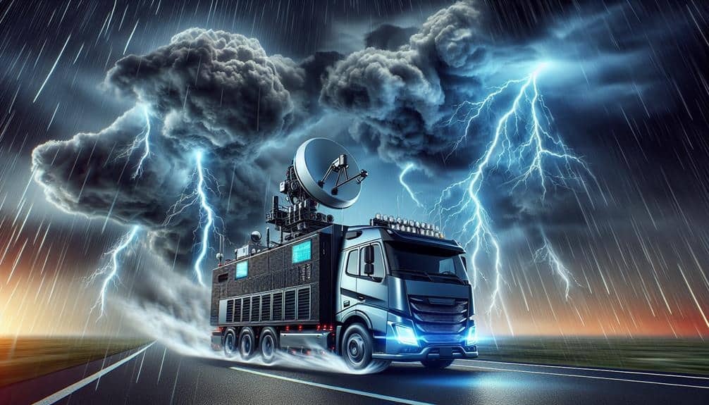
We're utilizing innovative instruments in tornado research to enhance the precision of our data and forecasts. Doppler radar systems provide real-time wind velocity and precipitation measurements, refining our predictive models. Mobile mesonet vehicles capture atmospheric conditions on the ground, while drones offer high-definition aerial data inaccessible to other methods. Portable weather stations are strategically placed for high-resolution, localized weather monitoring, and high-resolution cameras allow us to analyze tornado dynamics in unprecedented detail. These advanced tools collectively improve our understanding and forecasting of tornadoes, equipping us with the data-driven insights necessary for more effective early warning systems.
Key Points
- Improve predictive models and data accuracy for tornado forecasting.
- Capture real-time tracking data for better tornado monitoring.
- Measure precise atmospheric conditions and variations at multiple scales.
- Provide detailed visual and three-dimensional models of storm systems.
Doppler Radar Systems
Doppler radar systems provide us with precise measurements of wind velocity and precipitation inside tornadoes, enhancing our predictive models and data accuracy. By emitting radio waves and analyzing the frequency shifts caused by moving particles, we can capture real-time tracking data, allowing us to monitor tornadoes with unparalleled precision.
This high-resolution data is critical for refining our understanding of tornado dynamics, enabling us to improve forecasting techniques substantially.
With advanced Doppler radar technology, we can detect subtle changes in wind patterns and precipitation rates, providing us with the critical information needed to develop more effective safety measures. These systems allow us to issue timely warnings, giving communities the freedom to take necessary precautions.
The increased data accuracy from Doppler radar directly translates to improved forecasting, which is essential for mitigating the impact of these devastating natural events.
Our reliance on Doppler radar systems underscores the importance of employing cutting-edge technology in our quest to protect lives and property. The detailed, real-time tracking capabilities of these systems empower us to make informed decisions, ultimately enhancing public safety and ensuring a higher degree of preparedness in tornado-prone areas.
Mobile Mesonet Vehicles
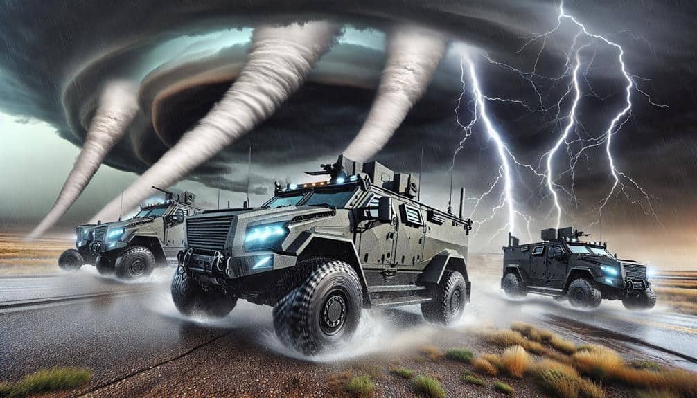
Building on the high-resolution insights provided by Doppler radar systems, mobile mesonet vehicles equip us with ground-level data, capturing atmospheric conditions directly within the tornado's path. These vehicles are outfitted with an array of meteorological instruments, including anemometers, barometers, and hygrometers, allowing us to collect real-time data on parameters such as wind speed, pressure, temperature, and humidity.
This capability for rapid response is vital, enabling us to deploy swiftly to areas experiencing severe weather and to gather data that Doppler radar alone can't provide.
Our mobile mesonet vehicles serve as the frontline in tornado research, traversing challenging terrains to measure the micro-scale variations in atmospheric conditions. With real-time data acquisition, we can make immediate adjustments to our research strategies, enhancing the precision of our weather models.
The integration of GPS technology ensures that each data point is geolocated, providing a thorough spatial analysis of the tornado's impact.
Drone Technology
Utilizing state-of-the-art drone technology, we're able to obtain aerial perspectives and high-definition data that complement our ground-based measurements. Drones allow us to enhance our data collection by reaching altitudes and positions that are otherwise inaccessible. Equipped with advanced sensors, these aerial platforms provide real-time information on wind speeds, temperature, humidity, and pressure gradients. This aerial data is essential for refining our storm tracking models and improving prediction accuracy.
By integrating drone technology into our research, we can collect data from the upper layers of tornadoes, which traditional methods can't easily access. This vertical profiling capability enables us to build detailed three-dimensional models of storm systems. The high-definition imagery from drones also aids in evaluating damage paths and tornado intensity, offering new insights into the dynamics of these violent storms.
Our use of drones isn't just about gathering more data; it's also about gathering superior data. The ability to capture real-time, high-definition data in storm conditions enhances our ability to track storm development and progression. Ultimately, this freedom in data collection provides a richer, more detailed dataset that empowers us to enhance predictive models, thereby contributing to more efficient early warning systems and potentially saving lives.
Portable Weather Stations
In addition to drone technology, portable weather stations provide us with on-the-ground, high-resolution data essential for analyzing localized weather phenomena. These stations enhance our data accuracy by capturing fine-scale atmospheric variations that larger, fixed installations might miss. Their mobility allows us to position them strategically in areas where tornadoes are likely to form, offering unparalleled insight into the conditions that precede these powerful events.
Equipped with a variety of sensors, portable weather stations measure parameters such as temperature, humidity, wind speed, and barometric pressure. They enable real-time monitoring, which is pivotal for tracking rapidly evolving weather systems. The real-time data can be accessed remotely, giving us the flexibility to adjust our data collection strategies dynamically. This capability is particularly beneficial during field campaigns when quick decisions can make a significant difference in capturing critical data.
High-Resolution Cameras
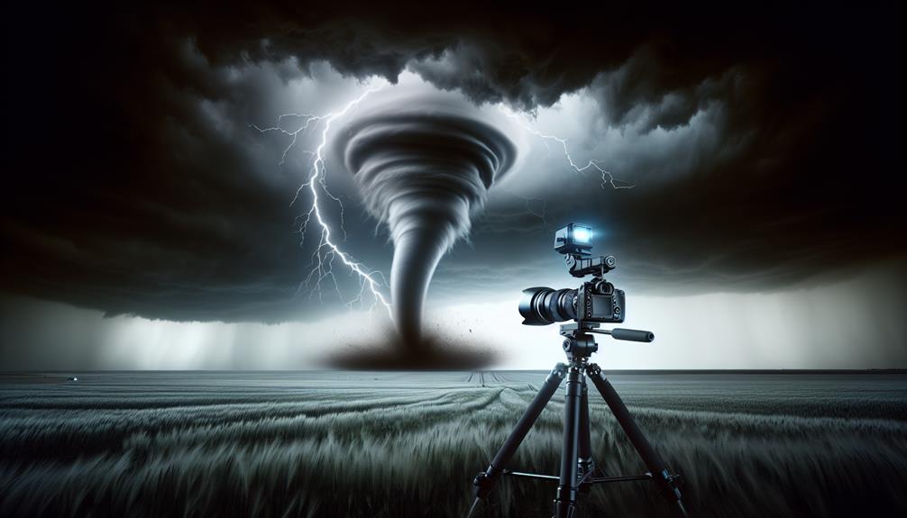
High-definition cameras, capturing detailed visual information, allow us to analyze tornado formation and behavior with unprecedented clarity. These advanced imaging systems provide meteorologists with a wealth of information that's essential for understanding the intricate dynamics of tornadoes. By leveraging high-definition image analysis, we can observe the minute details of a tornado's lifecycle, from genesis to dissipation.
Using high-definition cameras, we gain meteorological insights that were previously unattainable. For example, the ability to capture images at rapid intervals allows us to track the evolution of tornadoes in near-real-time. This temporal resolution is vital to identifying patterns in wind speed, pressure changes, and debris movement. Additionally, the spatial resolution offered by these cameras enables us to analyze fine-scale structures within the tornado, such as vortex breakdowns and secondary vortices.
Furthermore, integrating high-definition camera data with other meteorological instruments enhances our predictive models. We can correlate visual data with atmospheric parameters captured by portable weather stations, creating a detailed dataset. This fusion of high-definition imagery and meteorological data empowers us to refine our understanding of tornado mechanics, leading to more effective early warning systems and potentially saving lives.
Frequently Asked Questions
How Do Tornadoes Form in Different Geographical Regions?
We analyze tornado formation across different geographical regions by examining climate change patterns and their impact. Geographical variations greatly influence tornado characteristics, making it important to study regional data to understand how changing climates affect tornado behavior.
What Role Does Climate Change Play in Tornado Frequency and Intensity?
In examining climate change's impact, we find evidence suggesting increased tornado frequency and intensity. Our analysis shows rising temperatures and altered weather patterns contribute to more volatile conditions, potentially leading to more frequent and severe tornadoes.
How Can Communities Better Prepare for Tornadoes?
To better prepare for tornadoes, we should focus on community engagement and disaster preparedness. Data shows that informed communities respond more effectively, reducing casualties and damage. Let's prioritize education, drills, and robust communication networks for best readiness.
What Safety Protocols Should Researchers Follow During Tornado Fieldwork?
When venturing into the storm's heart, we must prioritize fieldwork safety by performing meticulous equipment maintenance and adhering to stringent protocols. Ensuring our gear's reliability and following safety measures allows us to capture valuable data without compromising our freedom.
How Do Researchers Collaborate With Emergency Services During Tornado Events?
We collaborate with emergency services during tornado events by employing advanced communication strategies and sharing real-time data. Our emergency response coordination guarantees timely warnings, efficient resource allocation, and ultimately, enhances community safety and resilience.