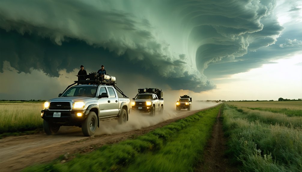
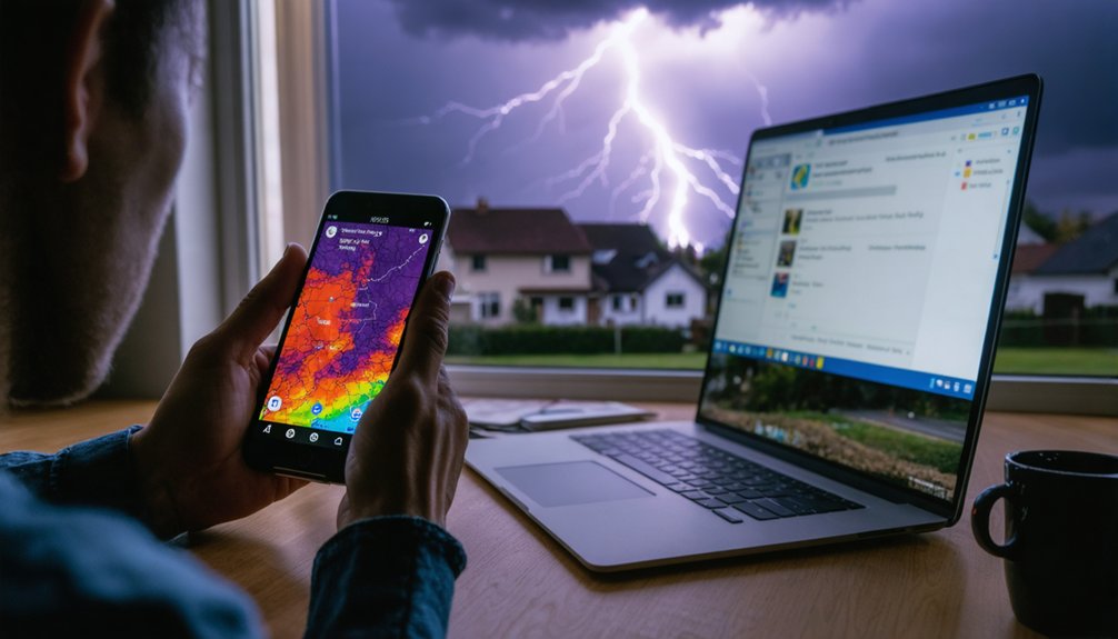
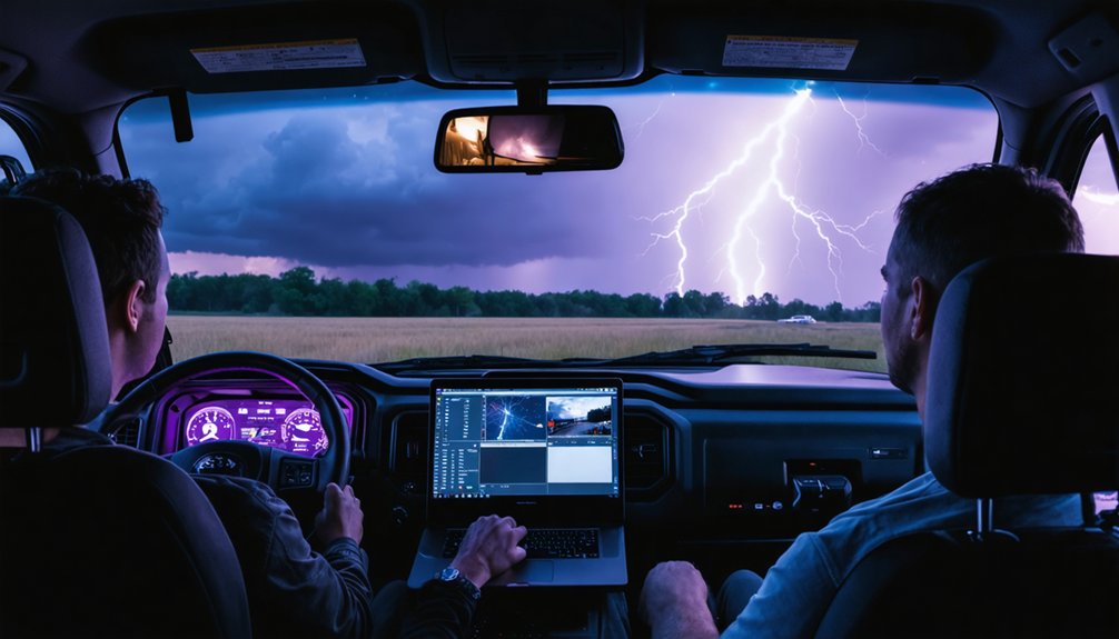
To enhance storm tracking, you’ll need to layer multiple data streams—Doppler radar, satellite imagery, and in-situ aircraft measurements—into a unified, validated forecast pipeline. Cross-referencing these inputs eliminates blind spots and reduces single-source dependency. Physics-based models then assimilate this fused data, driving accuracy metrics like SALdEdA to 99.34% for convective events. Modern AI systems process over 1.5 billion daily observations for hyper-local precision. Every technique covered ahead builds toward a faster, sharper, more reliable storm picture.
Key Takeaways
- Combine Doppler radar, satellite imagery, and Hurricane Hunter aircraft data to eliminate blind spots and build a comprehensive storm picture.
- Use data assimilation techniques to merge diverse observations, minimizing errors and improving physics-based forecast model accuracy.
- Leverage high-resolution visualization apps like Horizon AI HIRES at 0.67 km resolution for detailed, real-time situational awareness.
- Cross-validate multiple sensor inputs to reduce single-source dependence, extending reliable high-resolution forecasts up to 15 days.
- Integrate IoT observations with advanced algorithms to improve warning lead times, enabling faster evacuations and resource deployment.
What Is Storm Tracking and Why Does It Matter?
Storm tracking is the systematic process of monitoring, analyzing, and predicting the behavior, path, and intensity of atmospheric disturbances—ranging from isolated thunderstorm cells to large-scale hurricanes.
Storm tracking monitors, analyzes, and predicts atmospheric disturbances—from isolated thunderstorm cells to large-scale hurricanes.
You’re dealing with a discipline that integrates Doppler radar, satellite imagery, and physics-based models to deliver actionable intelligence.
Historical patterns inform algorithm development, helping you identify recurring storm behaviors and refine predictive accuracy.
Climate impacts are reshaping storm intensity and frequency, making precise tracking more critical than ever.
Without reliable tracking, emergency response falters and public safety deteriorates.
Modern systems like Horizon AI process over 1.5 billion daily observations, delivering hyper-local forecasts at 0.67 km resolution.
Understanding storm tracking‘s core mechanics lets you leverage these tools effectively, protecting lives and infrastructure while maintaining operational freedom.
How Doppler Radar Detects Wind, Rotation, and Debris
When you need to detect wind, rotation, and debris inside a storm, Doppler radar is your primary tool. It transmits radio pulses toward a target, then measures the returning signal’s frequency change — the Doppler shift — to determine whether precipitation, debris, or air masses are moving toward or away from the antenna.
You’ll find wind estimation relies directly on this phase shift data.
Rotation signatures appear when adjacent radar beams detect opposing velocity values, signaling potential tornado development.
Airborne debris produces distinct radar signatures, separating it from precipitation returns through reflectivity and correlation coefficient analysis.
How Satellites Fill the Gaps in Storm Tracking Coverage
Doppler radar excels at close-range storm analysis, but it can’t see everything — ground-based systems lose coverage over open oceans, remote terrain, and above the lowest atmospheric layers. That’s where satellites step in.
Through orbital coverage spanning geostationary and polar-orbiting platforms, you gain continuous, wide-area monitoring of cloud development, moisture distribution, sea surface temperatures, and upper-level winds. These variables are critical for forecasting hurricane formation before a storm ever reaches radar range.
Geostationary and polar-orbiting satellites deliver continuous wide-area storm monitoring long before systems ever reach radar range.
Satellite calibration guarantees the data you’re integrating meets precision standards, eliminating measurement drift that could corrupt model inputs. When you cross-reference satellite imagery with radar returns and aircraft reconnaissance, you build a complete, multi-layered storm picture.
That integration directly extends your situational awareness into the blind spots no single sensor can cover alone.
How Hurricane Hunters Collect Data Inside Live Storms
Where satellites and radar fall short in capturing internal storm dynamics, Hurricane Hunter aircraft fill the gap by flying directly into active systems to collect high-resolution in-situ observations. These missions give you precise measurements of wind speed, pressure, temperature, and humidity—critical variables for understanding storm composition and initializing forecast models accurately.
As you analyze hurricane evolution, you’ll find that aircraft-collected data reveals rapid intensification patterns that remote sensing simply can’t resolve. Dropsondes released during each pass transmit vertical atmospheric profiles directly into modeling systems, tightening track and intensity predictions.
You’re essentially feeding ground-truth data into algorithms that drive emergency response decisions. Without these direct observations, forecast uncertainty increases, warning lead times shrink, and your ability to protect lives and infrastructure diminishes markedly.
How Weather Models Turn Raw Data Into Storm Forecasts
Once Hurricane Hunters feed that raw in-situ data into the pipeline, physics-based simulation models take over, translating billions of atmospheric observations into actionable storm forecasts.
Data assimilation merges radar, satellite, aircraft, and IoT inputs into a unified atmospheric state, minimizing error between observed and modeled conditions. You’re fundamentally giving the model its most accurate possible starting point.
From there, advanced algorithms simulate complex atmospheric interactions, predicting storm track, intensity, and rapid intensification events.
Model validation quantifies performance using skill scores that measure track linearity, size consistency, and duration accuracy.
Novel procedures like SALdEdA achieve 99.34% accuracy for convective events, setting a measurable benchmark.
You get forecasts extending up to 15 days out, with hyper-local resolution down to 0.67 km near landfall, empowering faster, independent decision-making.
How AI Delivers Hyper-Local Storm Tracking at Landfall
As a storm closes in on the coastline, AI systems like Horizon AI HIRES shift from broad-scale modeling to hyper-local precision, delivering forecasts down to 0.67 km resolution near landfall. This hyper localization gives you granular visibility into rapidly intensifying winds, storm surge boundaries, and localized rainfall bands that coarser models simply can’t resolve.
Artificial intelligence processes over 1.5 billion daily observations, integrating satellite imagery, radar returns, and aircraft reconnaissance into a continuously updated storm picture. You gain forecast confidence up to 15 days out while maintaining street-level accuracy as the storm approaches shore.
This dual-range capability lets you make faster evacuation and resource decisions without waiting for delayed model runs. AI-driven hyper localization fundamentally puts high-resolution situational awareness directly in your operational toolkit when it matters most.
What Makes a Storm Tracking Algorithm Actually Accurate?
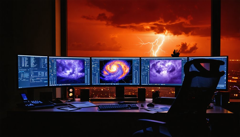
Storm tracking algorithm accuracy hinges on how objectively you can measure performance across identification, tracking, and forecasting steps simultaneously. You’ll need bulk statistics that expose weaknesses in sensor calibration and algorithm robustness without bias.
Storm tracking accuracy depends on objective, simultaneous measurement across identification, tracking, and forecasting steps.
Here’s what drives real accuracy:
- Cost functions — They distinguish line storms from isolated cells using size and intensity variables, preventing misclassification.
- Uniqueness checks — They let your algorithm handle multiple storms within the same search radius without conflating targets.
- Comparative skill scores — They quantify performance across track linearity, size consistency, and duration against competing algorithms.
Novel procedures like SALdEdA hit 99.34% accuracy for convective events precisely because they address all three steps.
You don’t get reliable results without testing across diverse radar reflectivity cases systematically.
Which Storm Tracking Apps Deliver Real-Time Accuracy?
When you need real-time storm accuracy, weather apps and interactive tracking platforms pull from the same advanced predictive algorithms and multi-source data pipelines driving professional forecasts. These tools integrate Doppler radar, satellite imagery, and IoT sensor feeds to deliver continuous storm prediction updates you can act on immediately.
Look for apps offering high-resolution data visualization at sub-kilometer scales, similar to Horizon AI HIRES’s 0.67 km resolution capability. Platforms cross-referencing radar reflectivity, sea surface temperatures, and upper-level wind data give you the clearest, most reliable storm picture.
Interactive online maps displaying live tropical storm and hurricane paths let you independently assess risk without depending solely on broadcast alerts. Prioritize apps with transparent data sourcing and algorithm documentation—that transparency directly reflects forecast reliability and your ability to make informed, autonomous decisions.
How Every Data Source Combines for a Complete Storm Picture
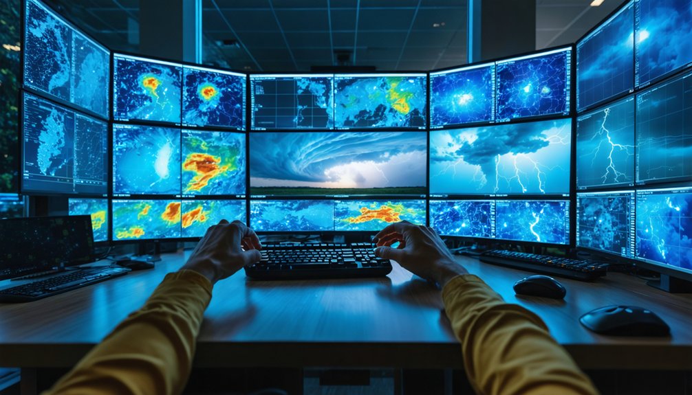
Building a complete storm picture requires fusing multiple independent data streams into one coherent operational framework. Data fusion eliminates blind spots that any single source creates.
Sensor synergy lets you extract maximum situational awareness by cross-referencing:
- Doppler radar – delivers real-time precipitation intensity, wind shear, and debris signatures at ground level.
- Satellite imagery – supplies geostationary and polar-orbiting data on sea surface temperatures, moisture fields, and upper-level wind patterns.
- Hurricane Hunter aircraft – injects direct in-situ measurements directly into model initialization pipelines.
When you integrate these streams alongside IoT observations and advanced algorithms, forecast reliability improves measurably. You’re not dependent on one authority’s interpretation—you’re cross-validating independent sensors, producing sharper storm structure insights and longer, more actionable warning lead times.
Frequently Asked Questions
How Does NSF Funding Directly Improve Radar Precision and Detection Range?
NSF funding lets you achieve superior radar calibration and broader detection ranges. You’ll benefit from enhanced data integration, merging radar pulses with multi-source observations, delivering faster, more precise real-time storm tracking and extended warning lead times.
What Cost Functions Help Distinguish Line Storms From Isolated Convective Cells?
You’ll use cost functions that incorporate size and intensity metrics to distinguish line storms from isolated convective cells. They leverage storm morphology patterns and radar calibration data, letting you objectively separate elongated systems from discrete convective signatures with precision.
How Does Saldeda Achieve 99.34% Accuracy in Convective Storm Tracking?
Why settle for less precision? SALdEdA achieves 99.34% accuracy by leveraging combinational optimization in data assimilation, letting you objectively track storm intensity through refined identification and forecasting steps—ensuring you’re consistently ahead of convective storm behavior.
How Do Uniqueness Checks Handle Multiple Storms Within Overlapping Search Radii?
When overlapping zones complicate detection, uniqueness checks let you resolve storm differentiation by ensuring each storm’s assigned to only one track, preventing duplicate matches and allowing algorithms to handle multiple storms within shared search radii accurately.
How Do Bulk Statistics Objectively Measure Storm Tracking Algorithm Performance?
Like a compass cutting through fog, bulk statistics let you objectively measure algorithm metrics by aggregating storm data across diverse cases, directly evaluating tracking accuracy, size consistency, path linearity, and duration—freeing you from subjective bias.
References
- https://www.nsf.gov/impacts/doppler
- https://www.vaia.com/en-us/explanations/geography/meteorology-and-environment/storm-tracking/
- https://research.noaa.gov/three-ways-noaa-research-works-to-improve-our-weather-forecasts/
- https://www.youtube.com/watch?v=P8Uod4rtn70
- https://climavision.com/blog/how-are-hurricanes-tracked-tools-and-tips-for-superior-coverage/
- https://journals.ametsoc.org/view/journals/wefo/37/11/WAF-D-22-0047.1.pdf
- https://journals.ametsoc.org/downloadpdf/view/journals/wefo/25/2/2009waf2222330_1.pdf
- https://pdfs.semanticscholar.org/4271/a78b907a5b6e72a63cb9b99c105373926377.pdf
- https://journals.ametsoc.org/view/journals/apme/54/2/jamc-d-14-0132.1.pdf
- https://journals.ametsoc.org/view/journals/wefo/25/2/2009waf2222330_1.pdf