You’ll score higher in storm chasing contests when you treat every chase day like a data operation—tracking verified GPS coordinates, cross-referencing radar signatures, and documenting tornado proximity with precision. Master velocity products, study SPC outlooks independently, and map escape routes before storms initiate. Avoid rookie errors like ignoring surface wind shifts or hesitating at route decisions. The deeper strategies behind radar interpretation, gear selection, and decision-making frameworks can sharpen your contest performance considerably.
Key Takeaways
- Master radar interpretation by using velocity products, correlation coefficient data, and multi-panel displays to make proactive, informed positioning decisions.
- Build forecasting skills by reviewing SPC outlooks, running independent models, and studying historical outbreak patterns to improve storm anticipation.
- Always map at least two escape routes per primary path, accounting for terrain, storm motion, debris zones, and low-water crossings.
- Document everything with GPS coordinates, timestamps, and visual media, cross-referencing submissions with radar data to maximize scoring credibility.
- Avoid rookie mistakes like relying solely on radar, misjudging storm size, or hesitating at route decisions, as these cost points and safety.
How Storm Chasing Contests Score Your Observations
Storm chasing contests typically score your observations based on a point system that rewards accuracy, proximity, and documentation quality. You’ll earn points by submitting verified storm observation data, including GPS coordinates, timestamps, and photographic or video evidence.
Scoring criteria often weight tornado proximity most heavily, followed by documented severe weather phenomena like large hail, damaging winds, and wall clouds.
You’ll want to log every observation with precise field notes, because judges cross-reference your submissions against radar data and official NWS reports. Incomplete or unverifiable entries typically receive reduced scores or disqualification.
Some contests also factor in forecast accuracy, rewarding chasers who correctly identified the target area before initiation. Understanding each contest’s specific scoring criteria before the event gives you a measurable competitive edge.
Build Your Forecasting Skills for Contest Days
Start each contest morning by pulling the SPC convective outlook and mesoscale discussions to identify target areas, threat levels, and the parameters driving the setup.
From there, run your own forecast using model data, surface observations, and upper-air soundings before checking what other chasers are saying, so you’re building independent analytical habits rather than borrowing conclusions.
You’ll sharpen your pattern recognition fastest by revisiting past outbreak days—map the hodographs, recheck the SPC archive, and compare your read against what actually verified in the field.
Study SPC Daily Outlooks
Before you chase a single storm in competition, you need to make SPC convective outlooks a daily habit. These storm outlooks sharpen forecast accuracy and build pattern recognition that competitors without this discipline simply won’t have.
Each morning, analyze the Day 1 outlook by focusing on:
- Categorical risk levels and their geographic boundaries
- Tornado, wind, and hail probability polygons
- Mesoscale discussion text for evolving setups
- Convective parameters driving the hazard designation
Don’t just read the maps — dig into the written storm discussions. The SPC forecasters explain *why* certain setups warrant elevated risk, giving you direct insight into atmospheric reasoning.
Cross-reference outlooks with your own model analysis daily, even on non-chase days. That consistent independent practice is what separates competitive chasers from passive observers.
Practice Independent Forecasting
Reading SPC outlooks daily builds your pattern recognition, but that skill only sharpens when you put your own forecast on the line before checking what the experts produced.
Before each potential chase day, analyze forecasting models like GFS and NAM independently. Identify the storm pattern yourself — shear profiles, moisture depth, cap strength, and lift mechanisms.
Commit your target area to writing before reviewing SPC’s convective outlook. Then compare your analysis against theirs and diagnose every divergence. Where did your model interpretation fail? Did you misread the hodograph or underestimate convective inhibition?
Track your accuracy across multiple sessions. This disciplined repetition accelerates your forecast calibration faster than passive reading ever will, giving you the independent decision-making confidence that contest days demand when conditions evolve rapidly.
Analyze Past Storm Setups
When you’re building forecasting skills for contest days, analyzing past storm setups gives you a no-pressure environment to stress-test your pattern recognition against verified outcomes.
Historical storm patterns expose recurring synoptic signatures, while seasonal variability teaches you how setups shift across spring and summer windows.
Work through archived events systematically:
- Pull SPC outlooks and storm discussions from major outbreak days and compare your independent analysis against verified tornado reports.
- Study radar loops alongside surface analysis to identify mesocyclone signatures before tornadogenesis occurred.
- Map historical storm patterns by region and month to internalize seasonal variability in cap strength, shear profiles, and moisture depth.
- Review post-event SPC analyses to identify forecast busts and understand what data signals were misread.
This disciplined repetition sharpens your contest-day decision-making considerably.
Read Radar the Way Contest Chasers Do
Radar isn’t just a safety tool in contest chasing—it’s your primary scoring instrument. Mastering radar interpretation separates competitive chasers from casual observers. Focus on velocity products to identify storm rotation early, giving you positioning advantages before other chasers commit to a target.
Radar isn’t just safety—it’s your competitive edge. Master velocity products early, and you’ll own the field before rivals react.
Correlation coefficient data helps you confirm debris signatures and distinguish precipitation types within a supercell’s core.
Don’t fixate on base reflectivity alone. Layer your analysis across multiple products and scan angles to build a three-dimensional understanding of storm structure. Track mesocyclone tilt, inflow signatures, and hook evolution continuously because storms evolve faster than a single scan reveals.
Contest scoring rewards proximity and documentation timing, so your radar reads must translate directly into decisive, well-timed field positioning. Interpret aggressively, move deliberately.
Gear That Gives You a Contest Edge
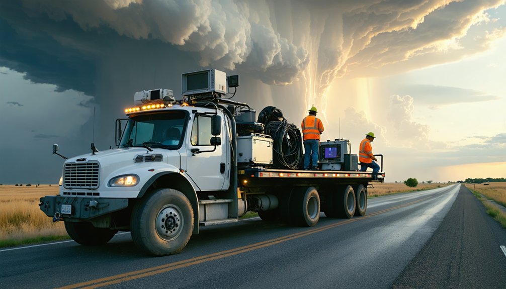
Your contest edge starts with a targeted gear checklist built around two priorities: reliable data acquisition and rapid decision-making in the field. You’ll need a mobile radar platform—whether a laptop running GR2Analyst or a tablet running RadarScope Pro—that lets you pull velocity products and correlation coefficient data faster than competitors relying on basic apps.
Radar tools don’t just orient you to storm structure; they directly determine your positioning calls, which is where contests are won or lost.
Essential Contest Gear Checklist
Having the right gear on a chase day isn’t just about comfort—it directly affects your scoring potential in a contest environment. Gear maintenance before departure eliminates field failures that cost you positioning time and documentation opportunities.
- Mobile radar app with velocity products — enables real-time rotation detection and intercept timing.
- DSLR or mirrorless camera — captures scorable visual documentation of wall clouds, funnels, and tornadoes.
- Backup power bank — keeps devices live during extended chase days without grid access.
- Navigation tool with offline maps — maintains route discipline when cell service drops in rural target zones.
Prioritizing storm safety means your gear setup supports rapid repositioning without compromising escape routes or situational awareness during critical intercept windows.
Radar Tools Win Contests
When rotation tightens and storm motion accelerates, the right radar tools let you act on data before other chasers react. Velocity products reveal rotational signatures that reflectivity alone won’t show. Correlation coefficient data flags debris signatures, confirming tornado presence at the surface.
Color coding across dual-pol products sharpens your interpretation speed during fast-evolving supercell structures.
For contest scoring, precise storm visualization separates documented, high-quality observations from guesswork. Apps like RadarScope deliver base reflectivity, storm-relative velocity, and tilt-sequence data critical for positioning decisions.
Multi-panel displays let you cross-reference products simultaneously rather than cycling through screens reactively. Scan intervals matter; delay costs you positioning advantage.
Pair radar data with real-time surface observations to build a complete operational picture before committing your route.
Plan Escape Routes Before the Contest Storm Arrives
Before a contest storm initiates, you’ve got to map your escape routes using current road network data, local terrain features, and the storm’s projected motion vector. Ignoring this step costs you positioning options and contest points.
Pre-storm escape planning requires:
- Identify emergency shelters along each candidate route using county road atlases and GPS overlays.
- Cross-reference local signage with satellite imagery to flag low-water crossings, dead ends, and unpaved segments.
- Calculate storm motion vectors from morning soundings and model output to project your retreat corridors.
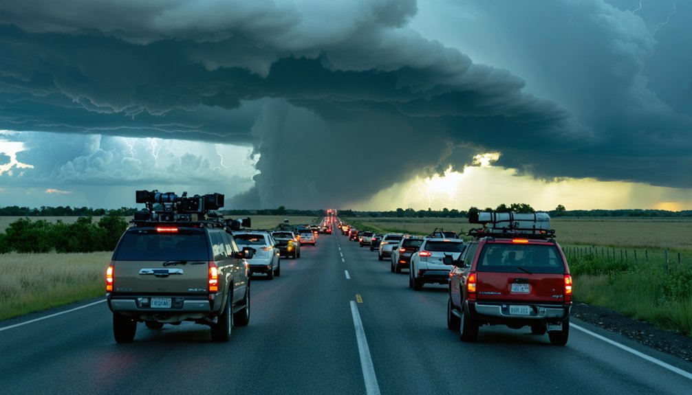
- Build at least two alternates per primary route, accounting for debris fields and traffic convergence zones.
Locking in these variables before initiation keeps your decision tree clean, your movement deliberate, and your contest positioning aggressive without sacrificing survivability.
Rookie Mistakes That Kill Your Contest Score
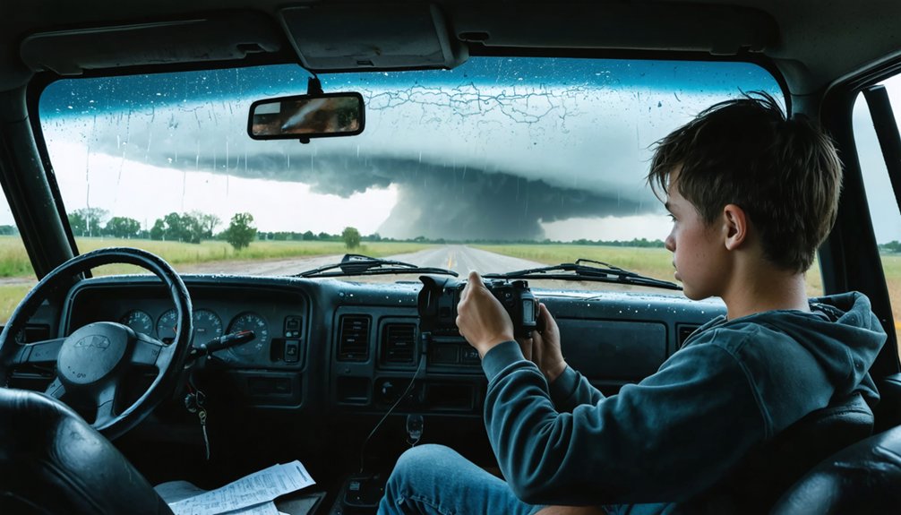
Rookie mistakes in contest chasing share a common pattern: they stem from fixation on a single data source, poor route discipline, or delayed decision-making under pressure.
Rookie mistakes follow a pattern: one data source, one bad route, one hesitation — and your score is gone.
You’ll hemorrhage points when you lock onto radar alone and ignore shifting wind direction at the surface, which signals storm mode changes before they appear on reflectivity.
Misreading storm size causes repositioning errors — underestimating storm scale pushes you too close, while overestimating it keeps you scoring nothing at distance.
You’re also losing ground every time you hesitate at a route decision because you’re waiting for another chaser’s call.
Trust your independent forecast, commit to your position early, and cross-reference velocity products with visual structure continuously.
Disciplined, multi-source awareness separates scored points from wasted fuel.
Where Beginners Train for Storm Chasing Contests
Fixing those decision-making gaps starts long before you’re in the field — and where you train determines how fast your contest skills compound.
Stack your reps using these four proven training resources:
- SPC convective outlooks — Analyze daily storm discussions and meteorological models independently to sharpen target selection.
- Skywarn or SpotterNetwork courses — Build foundational recognition of storm structure, rotation signatures, and warning indicators.
- Outbreak-day case studies — Replay historical radar datasets to train pattern recognition under realistic pressure.
- Live chase streams — Watch experienced chasers during active setups to internalize positioning timing and escape-route discipline.
Each resource compounds the last. You’re not just absorbing theory — you’re building executable decision frameworks that translate directly into contest-scoring accuracy when real storms initiate.
Frequently Asked Questions
Can Beginners Join Storm Chasing Contests Without Prior Field Experience?
You can join, but you shouldn’t without foundational training. Master weather prediction tools, understand radar data, and assemble proper storm chaser gear first. Prioritize Skywarn certification and virtual chase drills before entering competitive field environments.
How Do Contest Organizers Ensure Participant Safety During Severe Weather Events?
Ironically, you’re trusting organizers with your life mid-storm. They enforce weather safety through mandatory Skywarn training, real-time radar monitoring, and emergency preparedness protocols—ensuring you’ve got escape routes, communication systems, and structured guidelines before you’re chasing freely.
Are Storm Chasing Contests Held in Specific Regions or Nationwide?
You’ll find storm chasing contests span both regional restrictions and nationwide events. They’re concentrated in Tornado Alley—Kansas, Oklahoma, Texas—where atmospheric instability, wind shear, and supercell frequency maximize your scoring opportunities and meaningful severe-weather engagement.
Do Contest Participants Need Special Licenses or Certifications to Compete?
You don’t need special licenses or meet strict licensing requirements, but you’ll want Skywarn certification, solid radar skills, and safety training. Storm chasing regulations vary by contest, so check each event’s specific rules before competing.
How Many Chasers Typically Compete in a Beginner Storm Chasing Contest?
Participant counts vary widely, but you’ll typically find 20–100 competitors. You’ll need solid weather forecasting skills and reliable storm chasing gear to stand out among driven, freedom-seeking chasers ready to pursue the most intense setups.
References
- https://www.reddit.com/r/stormchasing/comments/1boanfg/how_do_i_get_started_storm_chasing/
- https://www.stormchasingusa.com/blog/learning-the-basics-about-storm-chasing/
- https://www.livingskytours.com/storm-chasing-101/
- https://www.youtube.com/watch?v=6otZLjSZvPU&vl=en
- https://www.youtube.com/watch?v=FJWWHDFBRLI
- https://www.reddit.com/r/stormchasing/comments/1jgc295/a_beginners_guide_to_storm_chasing/
- https://www.youtube.com/watch?v=6otZLjSZvPU
- https://www.wikihow.com/Storm-Chase
- https://www.youtube.com/watch?v=nxPSFg2R8YY