We optimize storm chasing by integrating high-resolution meteorological models and real-time data, leveraging precise atmospheric readings. Advanced radar systems and high-definition cameras enhance storm documentation, even in low light. Regular equipment checks guarantee peak performance. Adhering to strict safety protocols, we balance thrill with preparedness, using cutting-edge GPS systems and maintaining emergency gear. Collaboration with local authorities and other chasers enhances data accuracy and compliance. Sharing real-time updates and utilizing encrypted communication channels allows for effective situational awareness. By refining these strategies, we sharpen our storm tracking and documentation skills, paving the way for even more detailed storm insights.
Key Points
- Regularly maintain and upgrade equipment for optimal performance and safety.
- Utilize advanced meteorological models and real-time data for accurate storm prediction.
- Share real-time updates and collaborate with local authorities and fellow chasers.
- Adhere strictly to safety protocols and carry essential emergency gear.
Track Weather Patterns
To effectively track weather patterns, we utilize advanced meteorological models and real-time data from satellite and radar systems. These tools provide us with high-resolution imagery and precise atmospheric readings, which are essential for identifying potential storm chasing locations. By analyzing this data, we can predict storm trajectories and intensity, allowing us to position ourselves optimally for both safety and maximum impact in storm photography.
When selecting storm chasing locations, we prioritize areas with historically high storm activity. This involves cross-referencing historical data with current atmospheric conditions. For instance, the Great Plains in the United States, often referred to as 'Tornado Alley,' is a prime location due to its unique convergence of warm, moist air from the Gulf of Mexico and cold, dry air from the Rockies. Monitoring these convergences through real-time radar helps us pinpoint emerging supercells.
Moreover, we incorporate geospatial analytics to assess terrain and road networks, ensuring we've unobstructed views and accessible escape routes. By meticulously tracking weather patterns and choosing our locations scientifically, we enhance our chances of capturing compelling storm photography while maintaining the flexibility and safety essential for seasoned storm chasers like us.
Upgrade Your Equipment
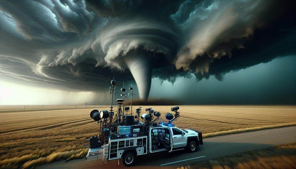
Having identified prime storm chasing locations through careful data analysis, we next focus on upgrading our equipment to ensure we capture the most detailed and accurate storm imagery possible.
First, let's talk about technology advancements. The latest high-definition cameras offer superior storm photography with improved low-light capabilities. These cameras, paired with advanced image stabilization and fast shutter speeds, optimize our ability to capture every moment of the storm's intensity.
Next, our storm chasing vehicles require upgrades to meet the demands of modern storm tracking. Installing robust, high-capacity data logging systems allows us to record extensive amounts of meteorological data in real-time. Additionally, we should consider integrating advanced radar systems into our vehicles. These systems provide precise, up-to-the-minute information on storm development, which is essential for both capturing top-notch images and adjusting our positioning.
Equipment maintenance is another vital aspect. Regularly inspecting and servicing our gear prevents unexpected failures. For example, drones equipped with high-definition cameras offer unparalleled views, but only if their batteries and propellers are in optimal condition.
Safety Precautions
Securing our safety during storm chasing demands strict adherence to established protocols and continuous monitoring of real-time meteorological data. We must prioritize risk assessment and preparation, which begins well before we hit the road. Conducting a thorough risk assessment involves scrutinizing weather models, analyzing storm trajectories, and understanding potential hazards.
By leveraging high-resolution radar and satellite imagery, we can make informed decisions that reduce risks. Preparation is equally critical. Our gear should include essential emergency procedures equipment like first-aid kits, reliable communication devices, and portable weather stations. Each team member must be proficient in using this gear to ensure swift response during emergencies.
We can't overlook the importance of emergency procedures. Each vehicle should be equipped with a detailed emergency plan, outlining procedures for various scenarios such as flash floods, lightning strikes, and tornadoes. This plan should be reviewed and practiced regularly to guarantee that everyone knows their role.
Data-driven decision-making enhances our situational awareness, enabling us to adapt to dynamic storm conditions. Real-time updates from meteorological services provide invaluable information that helps us stay ahead of the storm and avoid precarious situations.
Communicate With Local Authorities
We must share real-time updates with local authorities to enhance situational awareness and improve public safety metrics.
Additionally, obtaining necessary permits guarantees our operations are compliant with regional regulations, mitigating legal risks.
These measures not only facilitate smoother logistics but also bolster data integrity and reliability.
Timely communication with local authorities allows us to relay critical storm data and enhance public safety measures effectively. Leveraging live streaming and interactive maps, we can provide authorities with real-time visual and spatial data on storm progression. This instantaneous data transmission facilitates decision-making regarding emergency responses and resource allocation. By using these advanced tools, we not only capture dynamic storm behavior but also create a continuous feedback loop with meteorological agencies.
Social media platforms serve as pivotal channels for disseminating and gathering crowdsourced data. By updating our feeds with precise storm trajectories and conditions, we enable the public to stay informed and take appropriate actions. Concurrently, we can extract valuable information from local reports and user-generated content, further refining our predictive models and situational awareness.
When we synthesize these multiple data streams—combining live streaming, interactive maps, social media, and crowdsourced data—we construct a robust framework for real-time storm tracking. This integrated approach empowers us to contribute meaningfully to public safety initiatives. In high-stakes scenarios like severe storms, the rapid relay of accurate information can notably mitigate risks and save lives, embodying the essence of responsible storm chasing.
Obtain Necessary Permits
Securing all necessary permits involves direct communication with local authorities to understand specific regional regulations and legal requirements for storm chasing activities. Each jurisdiction has unique permit regulations that often hinge on local storm safety protocols. By engaging proactively with these authorities, we guarantee compliance and access to restricted areas, maximizing our operational freedom while minimizing legal risks.
First, we must identify the relevant local agencies responsible for issuing permits. This typically involves researching municipal websites or contacting emergency management offices. Once we've pinpointed the right contacts, it's vital to gather detailed information about the application process, required documentation, and any associated fees. Data from past chases indicate that permit approval times can vary significantly, ranging from a few days to several weeks, so early planning is essential.
Additionally, clear lines of communication with local authorities enhance our storm safety measures. Real-time updates on weather conditions and road closures from these sources are invaluable. By adhering to permit regulations, we not only respect local laws but also foster a cooperative relationship with authorities, which can prove beneficial in rapidly evolving storm scenarios.
Ultimately, this meticulous approach guarantees our storm chasing activities remain both legally compliant and safe.
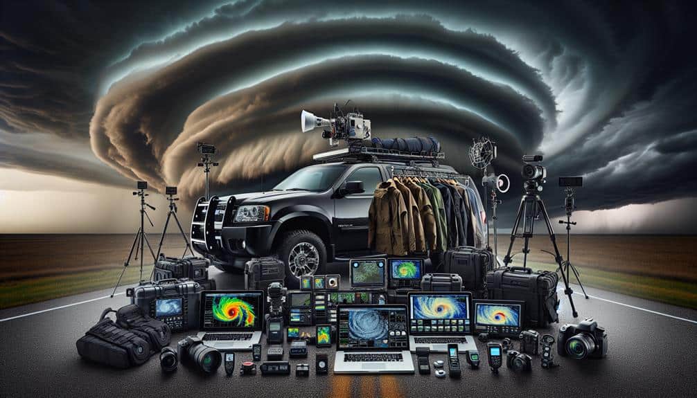
Documenting the Chase
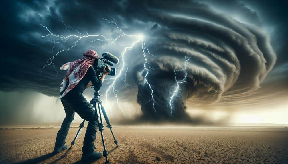
Capturing high-quality information and imagery during a storm chase necessitates careful planning, state-of-the-art equipment, and real-time analysis. Our professional photography setup should include DSLR cameras with high dynamic range (HDR) sensors to accurately capture the difference between storm clouds and lightning. Utilizing wide-angle lenses allows us to encompass the vast expanse of the storm cell in a single frame, necessary for both aesthetic and scientific documentation.
Video documentation is equally important and demands high-definition (HD) camcorders capable of capturing slow-motion footage. This enables detailed analysis of storm dynamics, such as the formation and dissipation of funnel clouds. Real-time GPS tagging on all video and photographic equipment ensures the precise geolocation of each captured event, aiding in the cross-referencing of meteorological data and visual evidence.
Data storage solutions must be robust, with high-capacity SSDs and redundant backup systems to prevent data loss. We also employ drone technology, equipped with 4K cameras, to capture aerial perspectives that ground-based equipment simply can't achieve. Integrating these approaches provides a thorough dataset, enabling us to further our understanding of storm patterns and improve predictive models.
In our relentless pursuit of storm information, every detail matters.
As we navigate Tornado Alley, our primary focus remains on essential safety gear and advanced weather tracking tools. Ensuring we've top-tier equipment like reinforced vehicles, GPS systems, and mobile radar units increases our chances of capturing valuable data while minimizing risk.
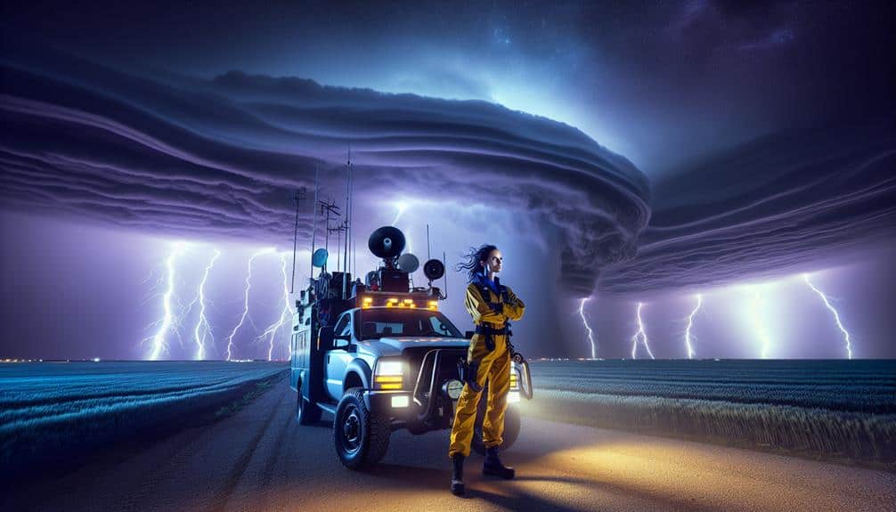
Essential Safety Gear
Equipping ourselves with cutting-edge safety gear is crucial for effectively managing the unpredictable conditions of Tornado Alley. Our gear maintenance routines ensure that each piece of equipment functions at its best. Maintaining our vehicles, for example, involves regular inspections and servicing to handle rough terrains.
We also adhere to strict emergency protocols, including having first aid kits, fire extinguishers, and emergency blankets readily accessible.
When it comes to navigation strategies, we employ advanced GPS systems and topographic maps. These tools help us traverse potentially hazardous areas with accuracy. Utilizing reliable communication devices, such as satellite phones and two-way radios, guarantees we remain connected even in areas with no cellular coverage. This constant communication allows us to share real-time updates and coordinate effectively with fellow chasers and emergency services.
Furthermore, we wear personal protective equipment (PPE), including helmets, goggles, and sturdy footwear, to safeguard against flying debris and hazardous conditions. High-visibility vests make us easily noticeable to others in low-visibility scenarios.
Weather Tracking Tools
We rely on an array of sophisticated weather tracking tools to monitor and analyze tornado activity in real-time. These technologies, including Doppler radar, storm prediction models, and satellite imagery, enable us to dissect atmospheric conditions with precision, enhancing our forecast accuracy and situational awareness.
Advanced radar systems provide high-resolution data on storm structure and intensity, critical for pinpointing potential tornado development zones.
Storm tracking apps have revolutionized our approach, delivering real-time updates directly to our mobile devices. These apps integrate advanced radar and satellite imagery, allowing us to visualize storm paths and make informed decisions on-the-go.
The incorporation of machine learning algorithms into storm prediction models has further refined our capacity to anticipate tornado genesis and track their trajectories more accurately.
Satellite imagery offers a macro perspective, capturing vast swathes of Earth's atmosphere and revealing large-scale weather patterns. By analyzing this data, we can identify supercell formations and other precursors to tornado activity with greater clarity.
This multi-faceted approach, combining ground-based and space-based observations, maximizes our forecast accuracy and empowers us to navigate Tornado Alley with heightened confidence and autonomy.
In our pursuit of freedom, these tools are indispensable.
Networking With Other Chasers

Establishing strong networks with fellow storm chasers notably enhances data collection accuracy and real-time decision-making during severe weather events. By participating in chaser meetups, we can exchange storm data, refine our tracking methodologies, and even calibrate our equipment. These meetups foster an environment where we can share insights from recent chases, discuss the latest advancements in meteorological tools, and collaborate on best practices.
Effective chaser communication is pivotal for ensuring our safety and optimizing our observations. Utilizing encrypted channels and real-time location-sharing apps, we maintain constant contact, which is crucial for making quick, informed decisions. Sharing safety tips during these communications helps us avoid hazardous areas and mitigate risks associated with unpredictable storm behavior.
Incorporating data from multiple chasers into our models notably increases the granularity of our forecasts. By pooling resources and cross-referencing our observations, we achieve a higher degree of precision in storm tracking. This collaborative approach not only aids in scientific research but also enhances our personal freedom to chase more effectively and safely.
Ultimately, our strength lies in our collective expertise and shared commitment to advancing the science of storm chasing while prioritizing safety and accuracy.
Frequently Asked Questions
What Are the Best Apps for Real-Time Storm Tracking?
Over 80% of storm chasers use RadarScope for real-time tracking. We prioritize the best equipment and safety precautions, so utilizing reliable apps guarantees we can chase storms effectively while staying informed and safe.
How Do You Stay Calm During Intense Chases?
We stay calm during intense chases by engaging in mental preparation and utilizing relaxation techniques. Mindfulness and deep breathing techniques are essential. Data shows these methods greatly reduce stress, granting us the freedom to focus on safety.
What Kind of Insurance Should Storm Chasers Have?
We need liability coverage to protect against accidents and guarantee safety precautions. Additionally, all-encompassing insurance should address emergency response and streamline damage claims. This approach maximizes our freedom to chase safely and efficiently.
How Do You Monetize Your Storm Chasing Footage?
To monetize our storm chasing footage, we employ data-driven marketing strategies and monetization techniques. We secure licensing agreements and guarantee copyright protection, maximizing revenue while retaining control over our content. This strategy offers both freedom and profitability.
What Should You Pack in Your Storm Chasing Survival Kit?
Sure, because nothing says "freedom" like dodging tornadoes, let's pack our survival kit with emergency essentials and communication devices. You know, just in case Mother Nature needs a little reminder of who's really in charge.