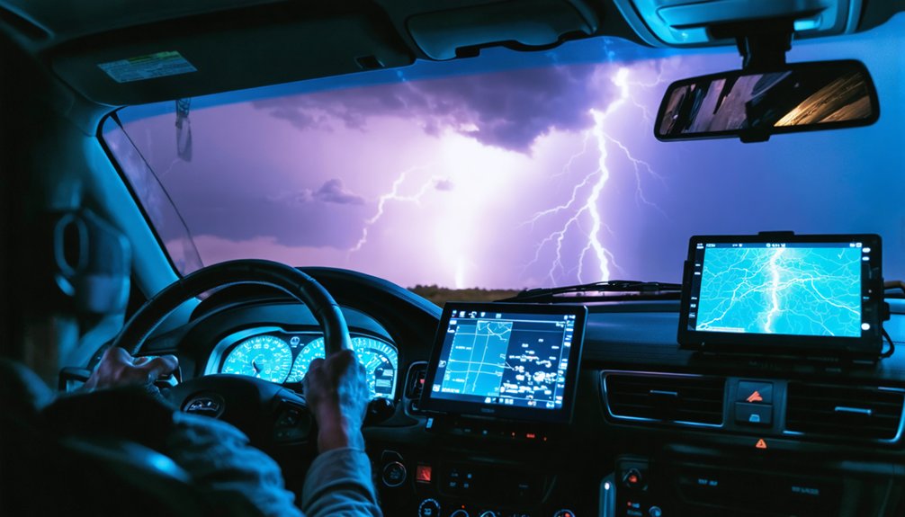
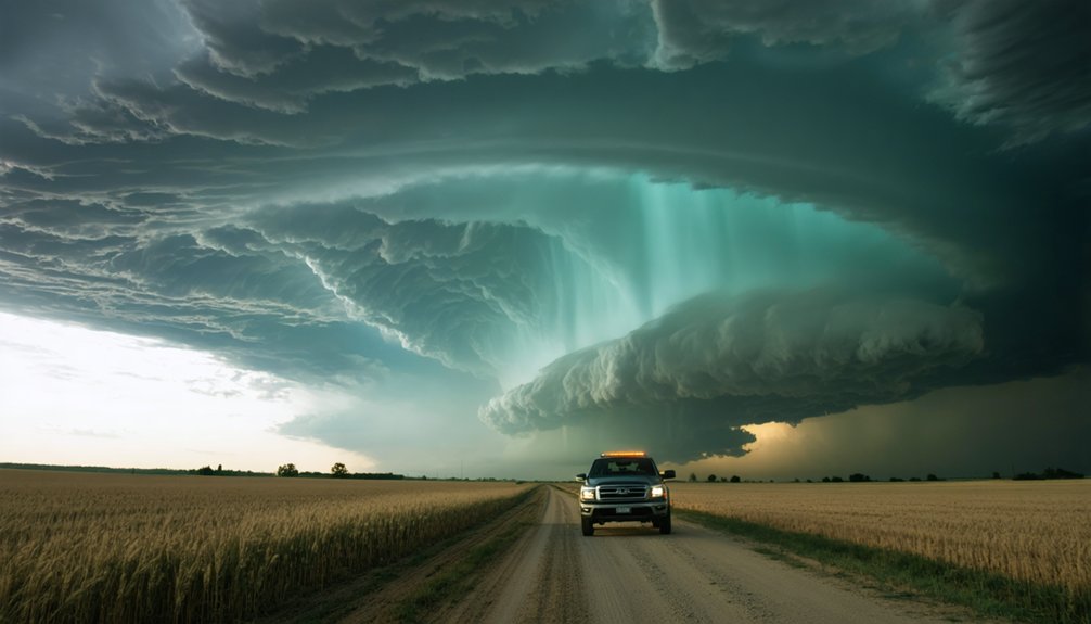
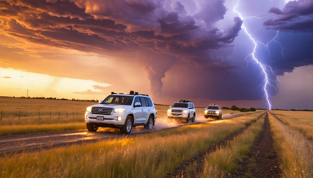
Optimizing safety as a storm chaser means building layered protocols before you ever leave the driveway. You’ll need two confirmed escape routes, a driver-navigator team, and a full tank before deployment. Position southeast of the updraft base, cross-reference radar with live visual observation, and never route through a tornado’s projected path. Keep in-vehicle safety gear staged, watch for flash floods, and move immediately when lightning closes within a mile. The full breakdown ahead covers every critical layer.
Key Takeaways
- Always map two confirmed escape routes perpendicular to the storm’s projected path before chasing, using radar and road condition data.
- Position southeast of the updraft base for maximum visibility and safety, avoiding forward flank regions with rain-wrapped rotation and hail.
- Maintain a full fuel tank and keep NOAA radio, GPS, and survival supplies staged and immediately accessible.
- Cross-reference radar data with real-time visual observations, since radar lag of 60–90 seconds can delay critical hazard detection.
- Reposition immediately if escape routes become compromised, prioritizing quick lateral movement over maintaining proximity to the storm.
Plan Two Escape Routes Before Every Storm Chase
Before you commit to a chase position, map out two clear escape routes and cross-reference each one against current radar data and road conditions.
Historical storm patterns confirm that conditions shift faster than most chasers anticipate, so static planning fails under real pressure.
Conduct a storm impact assessment for each route before deployment. Know where every road leads, confirm it has a viable exit, and never let either route cross the tornado’s projected path.
If one option closes due to flooding, debris, or reduced visibility, your second route must remain immediately executable.
Update both routes continuously as the storm evolves. Your freedom to reposition depends entirely on pre-committed planning.
A backup plan isn’t optional—it’s the structural foundation of every safe chase operation.
When you chase with a partner, you split the workload into two distinct roles: the driver focuses entirely on vehicle control and road conditions, while the navigator monitors radar, tracks storm structure, and flags hazards in real time. This division keeps your attention where it belongs and prevents the dangerous overlap of tasks that solo chasing forces onto one person.
If you’re alone, you’re simultaneously driving, reading radar, watching the storm, and planning escape routes — a cognitive load that markedly increases your risk of a fatal mistake.
Two Roles, One Team
Chasing alone splits your attention between two demanding jobs—driving and monitoring—and neither gets done well. When you chase with a partner, you divide those responsibilities cleanly, sharpening both team communication and risk assessment.
- The driver focuses entirely on vehicle control, road conditions, and escape route execution.
- The navigator monitors radar, storm structure, rotation position, and incoming warnings.
- Together, both roles enable faster, more accurate decisions when conditions deteriorate rapidly.
- Clear team communication ensures neither role overlaps or creates conflicting actions under pressure.
This division isn’t a preference—it’s a tactical advantage. Your navigator catches what you can’t see while driving. Your driver reacts without delay when the navigator calls a threat. Two roles, operating precisely, keep your options open and your exit clear.
Navigator Watches Hazards
While the driver keeps both hands on the wheel and eyes on the road, the navigator’s job is to stay locked onto every incoming hazard—radar updates, storm structure shifts, rotating wall clouds, and deteriorating escape routes. Effective storm communication between both roles isn’t optional; it’s your operational backbone.
Your navigator calls out hazard identification in real time—flagging standing water, hail cores, lightning proximity, and blocked intersections before they become emergencies. They cross-reference radar lag against visual conditions, monitor escape route integrity, and verbally confirm when repositioning is necessary.
You don’t react to hazards; you anticipate them through continuous information flow.
Without a dedicated navigator, critical threats go unnoticed while you’re focused on driving. That gap in awareness is where chases turn dangerous fast.
Solo Chasing Risks Lives
Solo chasing removes your second set of eyes at the exact moment you need them most. When you’re managing navigation, radar, storm photography, and vehicle control simultaneously, critical hazards slip past you. A navigator handles public outreach communications and monitors escape routes while you drive—that division of responsibility isn’t optional, it’s survival architecture.
Running solo collapses your safety margin instantly:
- Navigation errors increase when the driver simultaneously monitors radar and road conditions
- Storm photography distracts you from sudden rotation changes or deteriorating escape corridors
- Emergency response slows without a second person managing communication and hazard monitoring
- Decision fatigue compounds faster when one person carries every operational responsibility alone
Don’t treat the driver-navigator rule as a preference. It’s a structural safeguard protecting your freedom to chase another day.
Where Is the Safest Position Around a Supercell?
When positioning around a supercell, you’ll find the southeast quadrant offers the greatest margin of safety, keeping you away from the tornado-producing mesocyclone and out of the primary debris and inflow path.
Avoid the forward flank region entirely, since rain-wrapped rotation, hail, and reduced visibility there strip away your situational awareness and reaction time.
You must also track storm motion continuously, because a supercell that accelerates, turns, or intensifies can shift its danger zone faster than you can reposition.
Southeast Positioning Offers Safety
Positioning southeast of a supercell’s updraft base gives you the clearest sightlines to the storm’s mesocyclone while keeping you away from the primary hazard zones. Southeast safety depends on understanding storm structure and maintaining disciplined storm positioning relative to forward motion.
- Keep your vehicle angled toward a southeastward escape route so you’re never boxed in by storm movement.
- Monitor the wall cloud visually and via radar simultaneously, since storm motion can shift your safe window quickly.
- Avoid drifting north or northeast, where hail cores and the forward-flank downdraft create serious hazards.
- Reassess your position every few minutes as supercells are dynamic and can accelerate or wobble unpredictably.
Staying southeast keeps your escape routes clear, your visibility maximized, and your exposure to rotating features minimized.
Avoid The Forward Flank
The forward flank also puts you directly in the storm’s potential debris field and eliminates your ability to visually track rotation.
Radar lag compounds the danger since conditions you’re seeing are already ahead of what data shows.
Stay south or southeast, where you retain clear visibility of the wall cloud and mesocyclone.
Committing to the forward flank trades your situational awareness for proximity, and that’s a trade that costs lives.
Monitor Storm Motion Changes
Supercell storms don’t move in straight lines indefinitely, and a safe position can become a death trap within minutes if you’re not actively tracking storm motion changes. Direction shifts and sudden increases in storm speed can cut off escape routes you’ve already committed to. Cross-reference radar updates with what you’re seeing visually, and reposition before you’re forced to.
- Reassess your escape routes every few minutes as storm speed and heading evolve
- Never assume a stationary storm will stay stationary
- Watch for hook echo elongation on radar, which often signals direction shifts
- Keep your vehicle aligned toward your primary exit so movement is immediate
Your freedom to operate safely depends entirely on staying ahead of the storm’s next move.
Why Radar and Visual Observations Must Be Used Together
Radar gives you a powerful but delayed picture of storm structure, often lagging real-world conditions by 60 to 90 seconds or more. That gap matters when a tornado develops rapidly or a wall cloud tightens without warning.
Radar shows you the past. In a fast-moving storm, that delay can cost you everything.
Radar accuracy is highest when you cross-reference it with direct visual confirmation of what’s actually unfolding ahead. If radar shows rotation strengthening, look for it. If you see a lowering or debris cloud before radar updates, act on it immediately.
Never trust one source exclusively. Radar tells you where the storm was; your eyes tell you where it is. Use both inputs simultaneously to maintain accurate situational awareness.
That dual-source discipline keeps your positioning decisions sharp and your escape options realistic when conditions shift without notice.
Never Plan an Escape Route Through a Tornado’s Projected Path
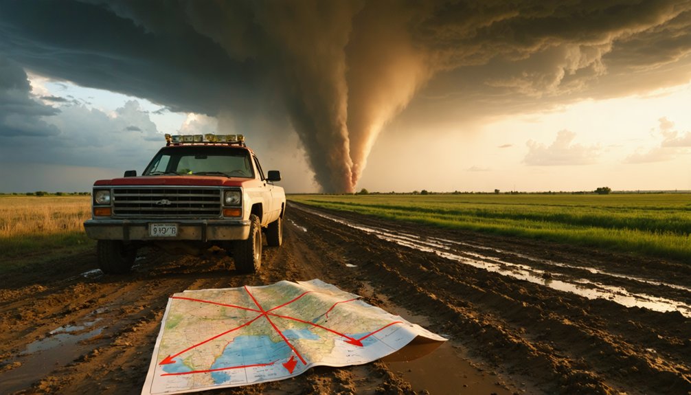
Before you commit to any escape route, you must project the tornado’s likely path using current storm motion vectors and heading data so you never place that route in the storm’s trajectory.
You should identify at least two exits that move you laterally or perpendicular to the tornado’s track, keeping both options confirmed and clear before you need them.
As storm motion shifts, you’ll need to reassess those routes in real time, cross-referencing radar updates with what you’re seeing visually to avoid getting locked into a path the tornado is now intercepting.
Understanding Tornado Path Projection
When you’re planning escape routes, understanding how to project a tornado’s path isn’t optional — it’s foundational. A tornado forecast gives you general movement direction, but path prediction requires you to continuously interpret storm motion vectors and adjust your positioning in real time.
Use these core principles for accurate path projection:
- Track storm motion using radar velocity data and visual cues simultaneously
- Apply the tornado’s current bearing and speed to estimate its position 5–10 minutes ahead
- Account for storm-relative helicity, which can cause path shifts without warning
- Cross-reference radar updates with what you’re observing directly to close the data lag gap
Your freedom to operate safely depends on treating path projection as a dynamic, ongoing calculation — never a fixed assumption made once and forgotten.
Identifying Safe Exit Routes
Once you’ve projected the tornado’s path, identifying safe exit routes becomes your most critical planning task — and the core rule is absolute: never plan an escape route that crosses the tornado’s projected path. Your weather pattern analysis and storm tracking techniques exist precisely to inform this decision.
Always maintain two confirmed exit routes before deployment. Cross-reference road maps with live radar data continuously, since storm motion shifts rapidly. Know where every road leads before committing — dead ends eliminate your freedom to react. Verify each route stays perpendicular or opposite to the tornado’s projected track, never parallel or intersecting it.
If conditions change and one route becomes compromised, execute your backup immediately. Hesitation costs you options. Your exits must remain viable, confirmed, and clear at all times.
Adapting Routes in Real Time
Real-time route adaptation demands constant reassessment — conditions that were safe five minutes ago can turn lethal as a storm accelerates or shifts track. Storm speed and cloud coverage change your decision window fast, compressing margins you thought were comfortable.
Cross-reference radar data with visual cues continuously, and never commit to a road you haven’t mentally cleared as an exit.
- Reroute immediately if storm speed increases beyond your projected buffer
- Drop any path that crosses the tornado’s updated projected track
- Reassess cloud coverage changes, since thickening layers can mask rotation and reduce reaction time
- Confirm both escape routes remain viable before repositioning
You control your survivability by staying ahead of the storm’s decisions, not reacting to them after the situation has already shifted against you.
Stop Driving for Hail, Shelter in Place When Roads Are Gone
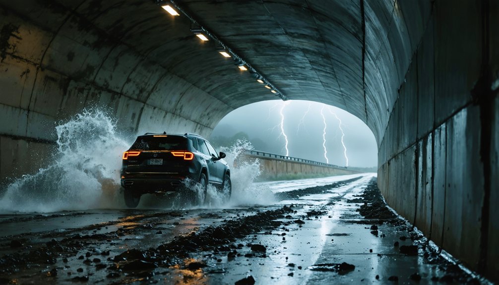
Hail poses an immediate threat to vehicle control, and you should stop driving the moment it begins striking hard enough to compromise visibility or traction. Pull off immediately, position your vehicle away from trees and power lines, and treat the interior as your hail shelter until the core passes. Don’t attempt to outrun large hail — it’ll damage the vehicle and strip your options fast.
When a road closure cuts off your planned route, don’t improvise blindly. Reassess your escape routes using radar and GPS before committing to an alternate path. Avoid muddy back roads unless your vehicle’s equipped for them.
If no viable exit exists, shelter in place inside the vehicle, keep your seatbelt on, and monitor conditions continuously until movement becomes safe again.
In-Vehicle Gear Built for Active Storm Chase Conditions
Gear isn’t an afterthought when you’re actively chasing — it’s the operational backbone that keeps decision-making sharp when conditions deteriorate fast.
Storm safety depends on having gear essentials staged and accessible before deployment, not scrambled for mid-chase.
Keep these items ready and functional at all times:
- NOAA weather radio and a charged backup phone with redundant mobile radar apps loaded
- GPS unit independent of phone service for route confirmation when data coverage drops
- Food, water, extra batteries, and emergency medical supplies secured against vehicle movement
- Full fuel tank plus reserve capacity for extended repositioning across changing storm tracks
Every item serves a specific operational function. If it doesn’t support navigation, communication, or survival, it doesn’t earn space in the vehicle.
Watch for Flash Floods, Standing Water, and Road Hazards
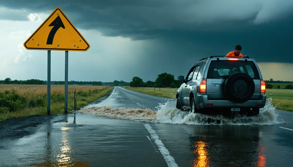
Having the right gear loaded and staged keeps your focus on the storm — but the road itself can kill you just as fast as any tornado. Weather pattern analysis must extend beyond storm structure to include surface runoff risk and drainage behavior along your route.
The road can kill you just as fast as any tornado — know your drainage risks before you drive them.
Never drive into standing or rising water — you can’t judge depth visually, and flash floods develop without warning. Scan continuously for washed-out shoulders, debris, and downed lines.
Wildlife interaction becomes a real hazard during severe weather, as animals flee toward open roads in panic. Use headlights in reduced visibility, reduce speed immediately in heavy rain, and pull completely off the road with parking lights on when stopping.
Keep every escape route flood-free before you commit to it.
Lightning Within a Mile Means Move Immediately
When cloud-to-ground lightning strikes within roughly one mile, you need to move immediately — don’t wait to see if the next bolt lands closer. Lightning safety isn’t passive; it demands decisive action. Get inside your vehicle or a hardened structure, and stay there until the threat clears.
Follow these storm sheltering priorities:
- Roll up all windows and avoid touching plugged-in electronics or metal components during active strikes
- Never stand near isolated trees, fences, power lines, or tall objects when lightning is close
- Watch for anvil lightning extending well beyond the visible storm core — it strikes without warning
- Treat every close strike as a signal to reposition, not observe
Your freedom to chase depends on staying alive to chase again.
Fuel Up and Lock Down Your Exit Options Before Deployment
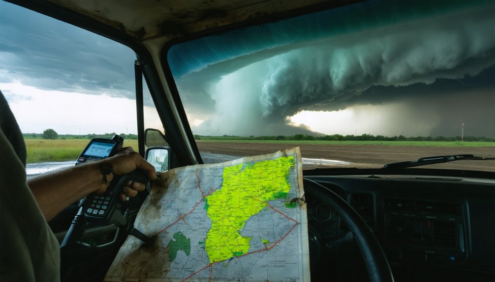
Before you deploy, lock in two non-negotiable assets: a full fuel tank and at least two confirmed escape routes. Fuel management isn’t optional — repositioning during an active chase burns fuel fast, and running low during a storm shift eliminates your freedom to maneuver. Carry extra fuel if you’re operating in rural corridors with limited stations.
Exit planning demands equal discipline. Cross-reference your routes on maps and radar before committing to any position. Know where every road leads, confirm it exits away from the storm’s projected path, and never let an escape route intersect a potential tornado track.
Road conditions shift fast, so reassess continuously. If either escape route becomes compromised, reposition immediately. You can’t chase effectively — or safely — without the fuel and freedom to leave on your terms.
Frequently Asked Questions
Can Storm Chasers Legally Exceed Speed Limits During Active Tornado Emergencies?
You don’t receive legal exemptions from speeding regulations as a storm chaser. You must obey traffic laws, match speed to road conditions, and prioritize controlled driving over rushing—reckless speed compromises your safety and others’.
How Do Storm Chasers Handle Medical Emergencies While Actively Pursuing Severe Weather?
You’re basically a flying doctor in a storm! Carry first aid kits and pre-establish emergency protocols before deployment. You’ll immediately halt pursuit, contact emergency services, and prioritize the injured person’s life above any storm documentation.
What Insurance Coverage Do Storm Chasers Typically Need for Their Chase Vehicles?
You’ll need extensive vehicle coverage that includes hail and flood damage, given storm chasing’s unique risks. Insurance requirements typically demand commercial or specialized policies, since standard auto plans often exclude weather-related incidents during intentional storm pursuit.
How Should Storm Chasers Coordinate With Local Emergency Management Agencies During Chases?
Register with local emergency management before you chase, share your real-time observational data freely through community engagement platforms, and maintain open radio contact so you’re coordinating storm reports without compromising your independent operational freedom or escape route decisions.
What Mental Health Challenges Do Storm Chasers Commonly Face After Dangerous Close Calls?
After close calls, you’ll often face post-incident trauma and heightened anxiety management challenges, including flashbacks, hypervigilance, and decision-making hesitation. Debrief with peers, seek professional support, and don’t ignore persistent psychological symptoms affecting your operational readiness.
References
- https://www.atms.unca.edu/cgodfrey/courses/swfex/pdf/ChasingSafety.pdf
- https://www.reddit.com/r/stormchasing/comments/k89wnc/safety_tips_for_storm_chasing/
- https://www.youtube.com/watch?v=nxPSFg2R8YY
- https://www.livingskytours.com/storm-chasing-101/
- http://www.stormeyes.org/tornado/chasing/FAQ/
- https://www.youtube.com/watch?v=h28hru7UhY8
- https://meetingsmags.com/illinois/il_planning/il_checklist/safety-tips-from-a-storm-chaser/
- https://crazystormchasers.com/best-safety-tips-for-storm-chasers/