When you trace hurricane research’s evolution, you’ll find it spans from a single 1943 aircraft penetrating a storm’s eye to today’s synchronized multi-platform networks. You can now collect wind data every half second via GPS dropwindsondes, map internal kinematics with airborne Doppler radar, and monitor entire ocean basins through GOES-16 and GOES-17 satellites. Each technological leap redefined what’s measurable inside a storm, and there’s far more to unpack across every major advancement.
Key Takeaways
- The first hurricane reconnaissance flight in 1943 marked a pivotal shift from sparse land reports to direct, precise storm observation.
- Radar technology introduced in the mid-1940s revealed hurricane eye and rainband structures, transforming it into a structural diagnostic tool.
- GPS dropwindsondes and airborne Doppler radar now capture detailed wind, temperature, and ocean data during active storm penetration.
- Satellites like GOES-16 and GOES-17 enable continuous, real-time basin-wide hurricane monitoring, including sea surface temperature and intensification signals.
- Modern hurricane tracking integrates multiple platforms, feeding synchronized data streams into predictive models for improved intensity and track forecasts.
The First Flights Into Hurricane Eyes
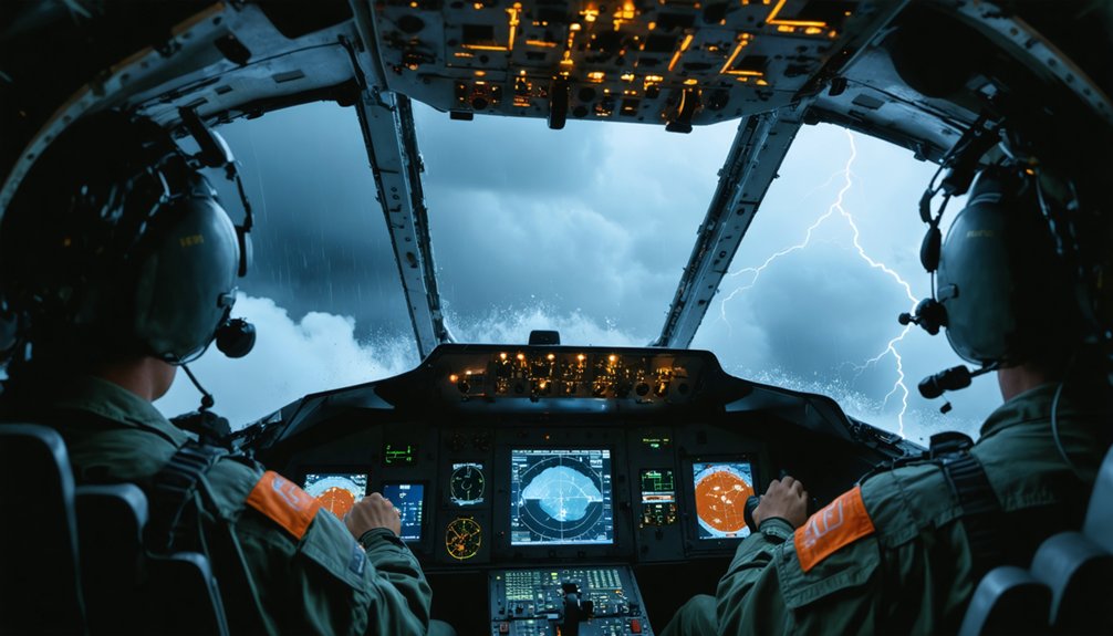
In 1943, Army Air Corps personnel made history by flying the first airplane directly into a hurricane eye over Texas, marking the start of direct storm observation. This flight stood as one of aviation’s critical historical milestones, proving aircraft could penetrate extreme storm conditions and return with actionable data.
By the late 1940s, the U.S. Navy and Air Force had transformed these pioneering runs into routine reconnaissance missions, prioritizing aviation safety protocols while extracting direct measurements over open ocean regions previously beyond reach.
You’re looking at a turning point where sparse, land-based storm reports gave way to precise, in-storm observational data. These early flights established the operational framework that modern hurricane research still builds upon, fundamentally shifting how you understand storm structure, intensity, and behavior.
The Instruments That Reshaped Hurricane Observation
Those early reconnaissance flights proved aircraft could survive a hurricane’s interior, but raw survival data only goes so far. Sensor advancements transformed what you could actually measure inside a storm:
Surviving the storm was just the beginning — the real breakthrough was learning what to measure once inside.
- GPS dropwindsondes sampling winds every half second during eyewall descent
- AXBTs, AXCPs, and AXCTDs profiling ocean temperature, currents, and conductivity
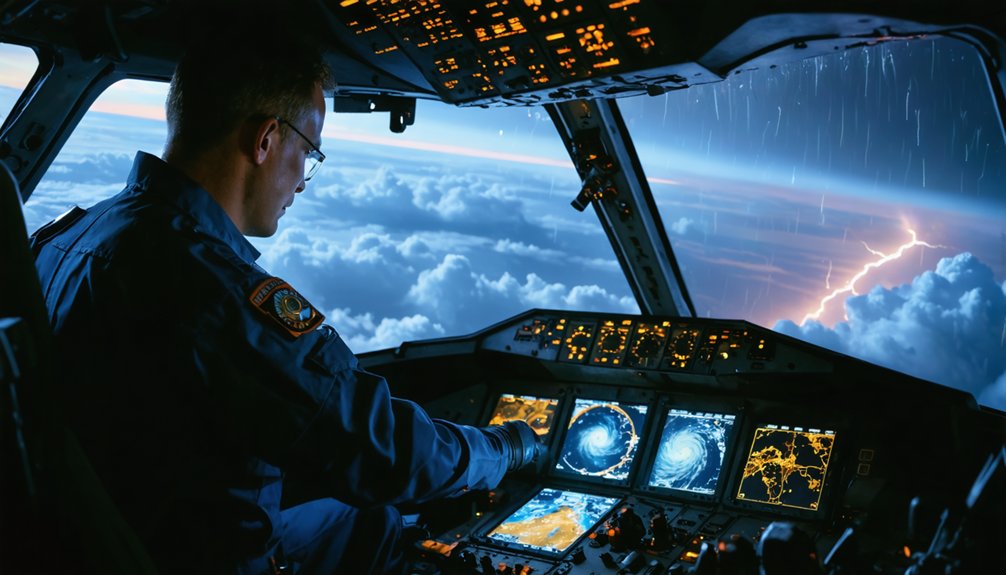
- Airborne Doppler radar mapping storm kinematics since Hurricane Debby in 1982
- Drifting buoys and subsurface floats capturing air-sea interaction data ahead of landfall
- GOES-16 and GOES-17 delivering continuous basin-scale surveillance where ships and buoys can’t reach
Data integration ties these streams together, letting you build complete storm profiles rather than isolated snapshots. You’re no longer guessing at structure — you’re analyzing high-resolution, multi-platform datasets that drive real forecasting decisions.
What Radar Revealed About Hurricane Structure
Radar didn’t just improve hurricane observation — it restructured what researchers knew about storm anatomy. When the first radar images of tropical cyclones emerged in the mid-1940s, you could suddenly see the eye and spiral rainbands as distinct structural features. That visual access to internal organization marked a decisive break from broad, surface-level tracking.
The real shift came in 1982 when airborne Doppler radar imaging of Hurricane Debby gave researchers direct access to storm dynamics at mesoscale resolution. You could now analyze eyewall behavior, precipitation organization, and inner-core kinematics with data-driven precision rather than inference.
Doppler systems measured wind fields across the storm’s interior, turning radar from a positional tool into a structural diagnostic instrument — one that fundamentally redefined how you understand a hurricane’s mechanics.
Satellites and Basin-Wide Hurricane Surveillance
Where radar gave you high-resolution views of individual storms, satellites extended that reach across entire ocean basins simultaneously. Satellite advancements like GOES-16 and GOES-17 transformed basin monitoring from isolated snapshots into continuous, real-time surveillance.
These platforms deliver critical data streams you can’t get from aircraft alone:
- Continuous tracking across the Atlantic and eastern/central Pacific basins
- Sea surface temperature estimates indicating intensification potential
- Coverage where buoys and ship reports don’t exist
- Improved forecasting and storm movement analysis
- High-frequency imagery revealing rapid structural changes
You’re no longer dependent on a single reconnaissance flight to understand a storm’s behavior. Satellites give you persistent, basin-wide awareness, letting researchers and forecasters analyze multiple systems simultaneously with accuracy that early hurricane scientists couldn’t have imagined.
How Modern Science Tracks Every Hurricane at Once
Satellites gave you basin-wide coverage, but tracking every hurricane at once requires something more coordinated — a multi-platform system that merges airborne, spaceborne, and land-based data into a single, continuously updated operational picture.
Basin-wide coverage is only the beginning — real hurricane tracking demands a synchronized, multi-platform operational picture.
NOAA’s integrated approach combines dropsonde profiles, Doppler radar kinematics, GOES-16/17 imagery, buoy telemetry, and surface reports simultaneously. Each data stream feeds directly into predictive models, sharpening intensity forecasts and track accuracy in real time.
You’re no longer relying on isolated snapshots — you’re working with synchronized, high-frequency observations across entire ocean basins. This coordination also advances climate impact research by capturing how large-scale atmospheric and oceanic conditions influence storm behavior over time.
The result is a system where no hurricane develops undetected and no critical data gap goes unaddressed.
Frequently Asked Questions
How Do Hurricanes Form Over Open Ocean Waters in the First Place?
Hurricanes form when you’ve got warm ocean waters fueling rising air, creating low pressure systems. Meteorological modeling and satellite analysis let you track how these rotating storm systems intensify into powerful cyclones.
What Training Do Pilots Receive Before Flying Into a Hurricane?
With winds exceeding 150 mph, you’d undergo rigorous pilot safety training protocols before entering a hurricane. You’ll master meteorological analysis, emergency procedures, and aircraft systems, ensuring you’re fully equipped to handle extreme atmospheric conditions independently.
How Accurate Are Current Hurricane Track and Intensity Forecasts Today?
You’ll find that current forecasts have improved markedly. Satellite technology and data modeling now give you track accuracy within ~100 miles at 48 hours, though intensity predictions remain less reliable, often varying 15–20 knots.
What Happens to Research Equipment After a Hurricane Dissipates?
Persistent probes power post-storm equipment recovery, where you’d analyze collected datasets for atmospheric impact analysis. Drifting buoys transmit final readings, dropsondes’ data gets archived, and recovered instruments undergo recalibration before redeployment in future missions.
How Do Researchers Stay Safe When Studying Hurricanes up Close?
You’d rely on strict safety protocols and emergency preparedness measures—flying reinforced aircraft, monitoring real-time data streams, maintaining abort thresholds for wind and turbulence, and coordinating with ground teams to guarantee you’re never caught unprepared inside a storm’s dangerous inner core.
References
- https://www.aoml.noaa.gov/observational-instruments/
- https://www.vos.noaa.gov/MWL/apr_07/hurricaneresearch.shtml
- https://severeweather.wmo.int/TCFW/RAIV_Workshop2023/07_AircraftObservations_RobRogers.pdf
- https://hurricanescience.org/science/observation/aircraftrecon/expendableairborneinstruments/index.html
- https://journals.ametsoc.org/view/journals/amsm/59/1/amsmonographs-d-18-0016.1.xml
- https://www.aoml.noaa.gov/hrd/about_hrd/achievements.html
- https://hurricanescience.org/science/observation/landbased/radiosonde/index.html
- https://www.aoml.noaa.gov/general/lib/lib1/nhclib/Publications/TheNHRE50yearsofresearch.pdf
- https://texmex.mit.edu/ftp/pub/emanuel/PAPERS/main.doc
- https://www.goes-r.gov/featureStories/monitoringHurricanes.html