AI is transforming how you track and respond to storms by compressing forecast runtimes up to 100 times faster than traditional physics-based models. You’re now getting probabilistic guidance in seconds, kilometer-scale nowcasting within 0–6 hours, and roughly one additional day of predictive accuracy over legacy systems. Hurricane track predictions are sharper, ensemble runs scale to 1,000 members, and warning lead times are measurably longer. There’s considerably more to unpack across every layer of this technological shift.
Key Takeaways
- AI reduces weather prediction runtimes by up to 100 times, enabling faster forecast updates during rapidly evolving storms.
- Machine learning models deliver roughly one additional day of predictive accuracy compared to traditional forecasting systems.
- AI outperforms legacy systems in hurricane track prediction, enabling narrower storm surge zones and earlier evacuations.
- Current AI models struggle with fine-scale storm structures like wind patterns and microphysics, limiting localized damage assessments.
- Ensemble systems now scale to 1,000 members, while satellite data feeds continuous observations into AI inference pipelines.
How AI Makes Storm Forecasts Faster and More Frequent
Traditional physics-based weather systems crunch through complex numerical equations for hours before delivering a single forecast cycle, but AI models cut that runtime down dramatically—some by up to 100 times. That speed shift means you’re getting more frequent forecast updates precisely when rapidly evolving storms demand them most.
Machine learning models trained on synthetic data and real atmospheric observations require far less computational overhead than classic numerical weather prediction. That efficiency isn’t just about convenience—it gives emergency managers actionable intelligence within tighter decision windows.
Faster inference also enables parallel scenario modeling, letting forecasters run multiple ensemble branches simultaneously. As climate modeling continues incorporating AI-driven architectures, the combination accelerates forecast generation without sacrificing analytical depth.
You gain both speed and frequency, two variables that directly determine how much warning time you actually have.
Why AI Is Giving Forecasters More Warning Time
Speed gains only matter if they translate into something actionable, and that’s exactly where extended warning lead times come in. Google DeepMind’s WeatherNext delivers roughly one additional day of predictive accuracy, meaning its 3-day forecasts match the quality older models achieved at 2 days. That gap matters when you’re coordinating evacuations or hardening urban infrastructure ahead of landfall.
HKUST’s AI system pushes thunderstorm forecasting four hours out, while NSF NCAR’s convective hazard models target tornado outbreak prediction up to a week in advance.
For climate adaptation planning, longer lead times let communities make smarter, faster decisions about resource deployment and risk exposure. You’re not just getting earlier warnings — you’re getting actionable data at timescales that were previously out of reach for operational forecasters.
Where AI Excels: Hurricane Track and Landfall Forecasting
If you’re tracking where AI delivers its clearest advantage, hurricane track forecasting stands out as the strongest use case.
Leading AI systems consistently predict cyclone paths, landfall locations, and pressure patterns with high accuracy, particularly at short lead times where ECMWF’s machine-learning models show reliable skill.
That performance has moved AI from experimental to operational, with forecasting centers now integrating these tools directly into hurricane warning workflows.
Track Prediction Accuracy Gains
Where AI has made its clearest mark is in hurricane track and landfall forecasting. You’re seeing machine learning models consistently outperform legacy systems on cyclone trajectory predictions, particularly at short-to-medium lead times.
ECMWF data confirms that AI captures track and pressure patterns with strong reliability, giving you earlier, more precise landfall windows that directly inform storm surge modeling and evacuation timing.
Where AI still concedes ground is in storm structure — cloud microphysics, wind shear gradients, and fine-scale intensity shifts remain harder to resolve accurately.
But track skill alone carries enormous operational value. When you know where a storm hits with greater confidence a day earlier, you compress decision timelines without sacrificing accuracy, giving emergency managers and the public measurably more freedom to act.
Landfall Timing And Warnings
When AI compresses landfall timing uncertainty, you gain something emergency managers have always been short on: actionable lead time. Tighter track predictions translate directly into narrower storm surge inundation zones, letting coastal communities make evacuation calls earlier and with greater confidence.
Google DeepMind’s WeatherNext delivers roughly one additional day of forecast accuracy, effectively converting a 2-day-quality forecast into a 3-day one. That single day matters enormously when you’re coordinating contraflow lanes, hospital transfers, and shelter logistics.
For climate resilience planning, consistent landfall precision lets infrastructure managers model repeated exposure scenarios rather than reacting to each storm independently. AI’s track skill isn’t theoretical—operational hurricane centers are already integrating these systems, using them to sharpen warning windows where physics-based models historically lost resolution.
AI Adoption In Operations
Because track skill translates directly into operational value, AI weather models are moving from experimental benchmarks into real forecasting workflows at major meteorological centers. ECMWF and similar centers now run machine-learning systems alongside traditional physics-based models, using AI outputs to cross-check cyclone track and pressure guidance.
Cloud-based modeling accelerates this integration by reducing infrastructure barriers, letting centers deploy updated AI architectures without full system overhauls. Data assimilation remains a critical interface point—AI frameworks increasingly ingest real-time radar, satellite, and surface observations to sharpen initial conditions before inference.
Some centers now offer up to 1,000 ensemble members for hurricane analysis, a scale impossible under legacy compute constraints. You’re watching a structural shift: AI isn’t replacing operational forecasting, it’s expanding what operational forecasting can deliver within actionable timeframes.
What AI Still Gets Wrong About Storm Structure
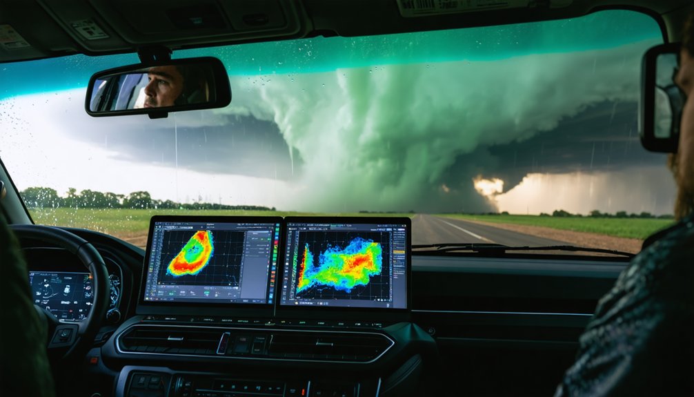
Despite their track record on cyclone paths and large-scale pressure patterns, AI models still struggle when it comes to resolving the physical structure of storms. Wind patterns that drive direct impacts—sting-jet structures, compact vorticity maxima, and sharp frontal boundaries—are frequently smoothed or weakened in machine learning outputs.
AI models track cyclone paths well—but still blur the fine-scale wind structures that determine where damage actually hits.
That loss of resolution matters when you’re evaluating localized damage potential.
Short-range convection and extreme rainfall remain particularly hard to capture accurately. AI systems trained on historical data also face a compounding problem: climate-shifted conditions push storms outside the distribution those models learned from.
Operational forecasters still depend on physics-based systems wherever fine-resolution storm structure determines life-safety decisions. AI hasn’t closed that gap yet, and understanding where it falls short keeps your situational awareness honest.
Radar, Ensembles, and AI Sensors Now Used in the Field
As AI forecasting matures, the tools supporting it in the field have expanded well beyond traditional radar and radio soundings. You’re now working with satellite integration that feeds continuous atmospheric data directly into AI inference pipelines, tightening the loop between observation and prediction.
Sensor calibration has become critical—garbage inputs still produce garbage forecasts, regardless of model sophistication.
Ensemble systems have scaled dramatically, with some hurricane analysis platforms running up to 1,000 members simultaneously, giving you a richer uncertainty landscape than previously possible.
AI-native sensing networks are being designed for near-real-time oceanic and atmospheric monitoring. These systems operate alongside operational centers rather than replacing them, letting you cross-reference AI outputs against physics-based benchmarks where fine-scale storm structure still demands traditional modeling precision.
How AI Helps Operational Forecasters and Chasers Decide Faster
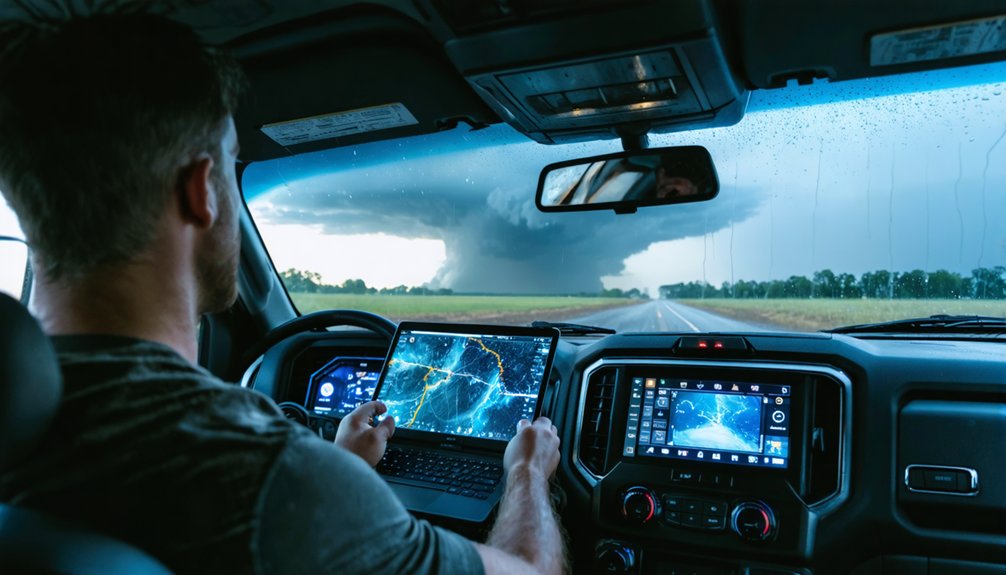
When conditions are shifting fast, decision latency kills options—and that’s exactly where AI’s speed advantage translates into operational value. Predictive analytics running on trained ML models deliver updated guidance in seconds, not hours, letting you act on current data rather than stale model cycles.
Data assimilation pipelines now integrate radar, satellite, and surface observations continuously, tightening forecast accuracy during rapidly evolving convective events.
Continuous radar, satellite, and surface data feeds sharpen forecast accuracy exactly when convective events evolve fastest.
For operational forecasters, faster inference means more frequent scenario updates before issuing warnings. For chasers, AI-driven nowcasting refreshes kilometer-scale probabilistic guidance within the 0–6 hour window, letting you re-route as storm targets shift.
Ensemble outputs with hundreds of scenario branches quantify uncertainty explicitly, so your go/no-go decisions rest on probability distributions rather than single deterministic runs. Speed compresses your response window less—giving you back control.
How AI Storm Forecasting Will Change in the Next Five Years
Over the next five years, you’ll likely see AI storm forecasting advance on two critical fronts: ensemble scale and fine-scale structural accuracy. Systems already running up to 1,000 ensemble members for hurricane analysis will expand further, giving you sharper uncertainty maps for track and intensity.
Simultaneously, researchers are targeting AI’s persistent weakness in resolving sharp fronts, compact vorticity features, and extreme precipitation—gaps that currently force operational forecasters back to physics-based models for high-resolution storm detail.
Expanding Ensemble Forecast Capabilities
Ensemble forecast capabilities are set to expand dramatically, and that growth will reshape how you interpret storm uncertainty over the next five years. Systems already offering 1,000 ensemble members for hurricane analysis will push further, giving you denser probability distributions across track, intensity, and structural outcomes.
Improved data assimilation pipelines will ingest satellite, radar, and oceanic inputs faster, tightening initial conditions before each forecast run.
Cloud modeling refinements will help AI better resolve mesoscale convective organization within ensemble branches, addressing current weaknesses in fine-scale storm structure.
More members mean sharper uncertainty maps, letting you distinguish high-confidence corridors from genuinely ambiguous scenarios.
That analytical resolution translates directly into better-informed decisions—whether you’re routing a chase, coordinating evacuation logistics, or evaluating compound hazard risk across a multi-day severe weather outbreak.
Closing Fine-Scale Accuracy Gaps
Fine-scale accuracy gaps remain AI’s most consequential limitation, but targeted architectural advances will narrow them substantially over the next five years.
Current ML models smooth critical storm structure features—sharp fronts, compact vorticity maxima, sting-jet signatures—producing forecasts that underrepresent fine scale extremes in wind, precipitation, and convective intensity.
You’ll see this change as physics-informed neural networks embed conservation laws directly into model architecture, forcing outputs to respect atmospheric dynamics rather than statistical averages.
Hybrid systems pairing ML inference with high-resolution numerical cores will handle rapid convective development more reliably.
Continuous assimilation from AI-native radar and satellite sensing will further sharpen short-range precision.
These combined advances won’t eliminate all structural weaknesses, but they’ll push AI storm forecasts into ranges where operational forecasters can trust fine-scale detail.
Frequently Asked Questions
Can AI Storm Forecasting Tools Be Used by the General Public?
Yes, you can access AI storm forecasting tools through platforms with simplified user interfaces designed for public accessibility. These systems let you analyze ensemble forecast data, track storm probabilities, and make informed, independent decisions during severe weather events.
How Are AI Weather Models Trained, and What Data Do They Use?
AI weather models use machine learning algorithms trained on massive historical datasets, including satellite data, radar outputs, and atmospheric readings. You’re fundamentally letting the system learn weather patterns independently, requiring far less computational power than traditional physics-based approaches.
Does AI Forecasting Work Differently in Different Regions of the World?
Yes, AI forecasting performance varies by region due to regional climate variability and unequal training data density. You’ll find models underperform where data sovereignty restrictions limit historical records, creating gaps that weaken predictive accuracy across underrepresented atmospheric zones.
Are AI Storm Prediction Systems Vulnerable to Cyberattacks or Data Errors?
Yes, you’re exposed to real risks. Cyber vulnerabilities can compromise AI storm systems, while data integrity failures from corrupted sensor inputs or adversarial interference can silently degrade forecast accuracy, undermining your freedom to make informed, life-saving decisions.
Who Funds the Development of Ai-Based Storm Forecasting Technology?
You’ll find funding sources like NSF NCAR backing AI storm research directly. Technological partnerships between Google DeepMind and meteorological agencies also drive development, giving you decentralized, innovation-driven forecasting free from single-institution control.
References
- https://phys.org/news/2026-01-ai-severe-thunderstorms-hours-higher.html
- https://etcjournal.com/2026/05/11/the-ai-revolution-in-weather-forecasting-a-may-2026-update/
- https://news.rice.edu/news/2026/ai-weather-models-show-promise-hurricane-forecasts-new-rice-study-finds-key-physical
- https://journals.ametsoc.org/view/journals/aies/2/3/AIES-D-22-0077.1.pdf
- https://www.ecmwf.int/en/about/media-centre/aifs-blog/2026/severe-storms-machine-learning
- https://ncas.ac.uk/how-well-can-artificial-intelligence-predict-storms/
- https://deepmind.google/blog/weathernext-ai-model-achieves-breakthrough-in-forecasting-cyclones/
- https://www.articsledge.com/post/ai-weather-forecasting
- https://www.palmbeachpost.com/story/weather/hurricane/2026/06/01/google-deepmind-hurricane-forecast-national-hurricane-center-ai-2026-season/89593801007/
- https://www.newscientist.com/article/2583547-deepmind-ai-gives-an-extra-day-of-warning-ahead-of-deadly-cyclones/



