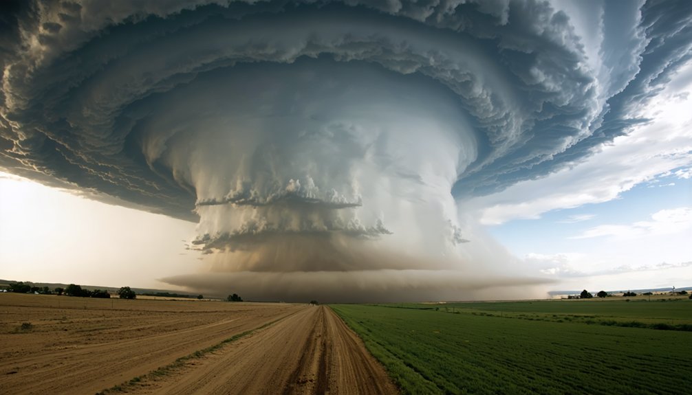
La Niña shifts the jet stream northward, sharpening the clash between warm Gulf moisture and cold northern air — boosting instability, wind shear, and tornado frequency across the southern Plains. El Niño does the opposite, blocking Gulf moisture and suppressing storm development in Texas, Oklahoma, and Kansas. Six of the top 15 tornadic outbreaks occurred during La Niña phases, versus just one during El Niño. The full picture of how these patterns shape your regional risk goes much deeper.
Key Takeaways
- La Niña shifts the jet stream northward, increasing atmospheric instability and wind shear, which significantly raises tornado frequency during spring.
- El Niño pushes the jet stream southward, blocking Gulf moisture from reaching the Plains and suppressing tornado activity.
- La Niña sharpens the collision between warm Gulf air and cold northern air, favoring violent, long-track tornadoes.
- Six of the top 15 tornado outbreaks occurred during La Niña, compared to only one during El Niño.
- ENSO’s tornado influence is strongest across Texas, Oklahoma, Kansas, and the Deep South during the March–May season.
What ENSO Actually Does to U.S. Tornado Patterns
When Pacific sea surface temperatures shift between El Niño and La Niña phases, they physically reorganize the jet stream over North America, and that’s what drives ENSO’s impact on U.S. tornado patterns. This climate variability directly alters atmospheric circulation, repositioning the boundary between warm Gulf air and cold northern air masses.
During El Niño, the jet stream shifts southward, cutting off moisture transport into the southern Plains and suppressing spring tornado activity.
During La Niña, it shifts northward and becomes wavier, sharpening the north-south temperature gradient and increasing instability across the South and Southeast. You’re looking at a fundamentally different severe weather setup depending on which phase dominates.
The strongest ENSO signal consistently appears during the March-through-May spring tornado season, not year-round.
Why La Niña Fuels More Tornadoes Each Spring
When La Niña sets up across the Pacific, you see a more northward, wavier jet stream that drives warmer, more humid air deep into the southern Plains.
Meanwhile, colder air pushes down from the north. That collision sharpens the north-south temperature gradient, which directly amplifies atmospheric instability—the core ingredient your storm needs to produce violent updrafts and tornado-favorable wind shear.
NOAA’s research confirms that this enhanced instability pattern correlates with higher-than-normal spring tornado frequency across much of the South and Southeast.
Stronger Temperature Gradients
During La Niña, concentrated heat and humidity over the southern Plains collides with colder air pushing down from the north, sharpening the north-south temperature gradient across the central U.S. This contrast in air masses drives stronger frontal zones, amplifying atmospheric instability — a critical ingredient for tornado development.
Climate variability tied to La Niña reorganizes atmospheric dynamics so that warm, moist Gulf air surges northward while Arctic outbreaks push southward with greater frequency. That collision zone intensifies wind shear and lifts, two additional components your forecasters watch closely when evaluating severe weather potential.
NOAA’s research confirms that sharper frontal boundaries correlate directly with higher tornado frequency and stronger events. You’re fundamentally dealing with a more volatile atmosphere primed to produce significant, long-track tornadoes during La Niña spring seasons.
Increased Atmospheric Instability
Atmospheric instability is the engine that drives tornado production, and La Niña systematically cranks that engine higher each spring. Climate variability driven by La Niña concentrates warm, humid Gulf air across the southern Plains while colder air pushes southward from Canada. That collision sharpens the north-south temperature gradient dramatically.
Atmospheric dynamics respond accordingly — lifting mechanisms strengthen, convective available potential energy (CAPE) surges, and wind shear intensifies across tornado-prone corridors. You’re looking at conditions where thunderstorms don’t just form; they organize into supercells capable of producing violent, long-track tornadoes.
NOAA’s research confirms that La Niña springs produce statistically higher instability indices compared to El Niño seasons. Understanding this mechanism gives you a clear framework for anticipating why certain spring seasons carry fundamentally greater tornado risk than others.
Why La Niña Triggers the Worst Tornado Outbreaks
La Niña doesn’t just raise tornado counts—it stacks the atmospheric deck toward larger, more violent outbreaks. The cold-phase ENSO pattern concentrates warm, humid Gulf air against sharp cold fronts, amplifying instability beyond what neutral conditions produce. That combination drives both tornado frequency and storm severity sharply upward.
The data back this up. Among the top 15 tornadic outbreaks on record, only one occurred during El Niño, while six happened during La Niña. Research also shows La Niña seasons carry a measurably higher probability of outbreaks exceeding 40 tornadoes.
You’re also looking at more F2-or-stronger events across the Deep South. La Niña doesn’t guarantee catastrophe, but it systematically loads the conditions that make the worst outbreaks possible.
How El Niño Suppresses Tornado Activity
Where La Niña loads the atmosphere for violent outbreaks, El Niño systematically dismantles the ingredients that make them possible. During El Niño, the jet stream shifts southward, blocking warm Gulf moisture from reaching the southern Plains. Without that fuel, thunderstorm development weakens markedly.
The data backs this up. Tornado frequency drops sharply across Texas, Oklahoma, and Kansas during El Niño spring seasons. The reduced moisture transport lowers atmospheric instability, cutting off a critical trigger for supercell formation.
Regional variability does exist — parts of the Ohio River Valley can actually see slight upticks in activity. But across the southern central U.S., El Niño consistently suppresses severe weather.
You’re looking at fewer outbreaks, weaker storms, and shorter tornado tracks when Pacific warming takes hold.
Where ENSO’s Tornado Signal Hits Hardest
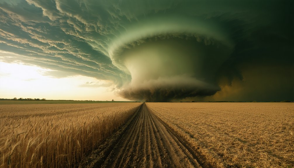
Not every region feels ENSO’s influence equally — the signal concentrates most sharply across the South and Southeast. Texas, Oklahoma, Kansas, Louisiana, Arkansas, and Missouri all show elevated tornado frequency during La Niña.
A secondary axis runs from Iowa through Illinois and Indiana into Kentucky and Tennessee.
El Niño shifts activity toward the Ohio River Valley while suppressing it across the southern Plains. Florida behaves differently, resisting the broader regional pattern due to its unique coastal climate variability.
Understanding where ENSO’s grip tightens lets you assess real seasonal risk rather than relying on generalized forecasts.
Just as wildfire risk maps guide land management decisions, ENSO regional maps sharpen your awareness of where tornado threats concentrate — giving you a sharper, data-backed picture of what spring may deliver.
Can ENSO Help Forecast Your Tornado Season Risk?
Forecasting tornado season risk gets measurably sharper when you factor in ENSO state. If December through February shows La Niña conditions, you can reasonably anticipate elevated spring tornado frequency across the southern Plains, Southeast, and the Iowa-to-Kentucky corridor. That’s actionable intelligence.
La Niña winter conditions? Expect elevated tornado risk come spring across the Plains, Southeast, and Midwest corridor.
Farmers managing agricultural impacts can time planting schedules around elevated outbreak probability. Pilots and operators weighing aviation disruptions can build contingency windows into spring flight operations.
El Niño signals the opposite — statistically fewer significant tornadoes in the southern central U.S. during March through May. The relationship isn’t deterministic, though. Tornadoes occur regardless of ENSO phase.
What ENSO gives you is a probabilistic edge — a meaningful shift in baseline risk that lets you allocate resources, adjust exposure, and plan with greater confidence before the season begins.
Frequently Asked Questions
Does ENSO Affect Tornado Season the Same Way Every Single Year?
No, ENSO doesn’t affect tornado season the same way every year. You’ll find significant seasonal variability in tornado prediction, as local moisture, jet stream patterns, and storm setups interact differently, making ENSO a statistical guide, not a deterministic rule.
Can La Niña and El Niño Overlap or Occur Simultaneously?
No, they can’t overlap. You’re either in one or the other — warm versus cold. Meteorological patterns and oceanic interactions in the Pacific dictate which phase dominates, making simultaneous occurrence physically impossible within ENSO’s defined framework.
How Long Does a Typical La Niña or El Niño Episode Last?
A typical El Niño or La Niña episode lasts 9 to 12 months, though some persist 1–2 years. These weather pattern shifts alter atmospheric dynamics, directly influencing how actively you’ll experience tornado seasons across affected regions.
Does Climate Change Alter How ENSO Influences Tornado Activity?
Yes, climate change can alter how ENSO shapes your tornado risk. Rising temperatures intensify climate variability, shifting atmospheric patterns that control moisture and jet streams, potentially amplifying La Niña-driven outbreaks beyond historically observed data-driven baselines.
Are Nighttime Tornadoes More Common During La Niña Seasons?
La Niña doesn’t directly control nighttime patterns, but you’ll find it amplifies tornado intensity and outbreak frequency. Since La Niña favors stronger, longer-track tornadoes, your nocturnal risk statistically increases when outbreaks extend into nighttime hours.
References
- https://www.climate.gov/news-features/featured-images/el-niño-and-la-niña-affect-spring-tornadoes-and-hailstorms
- https://www.climate.gov/news-features/blogs/enso/tornados-and-la-niña-2021-edition
- https://www.climate.gov/news-features/blogs/enso/enso-and-tornadoes
- https://www.weather.gov/jan/el_nino_and_la_nina
- https://www.coaps.fsu.edu/papers/impacts_enso_tornadic_activity/
- https://www.windwardrisk.com/blogs/impact-of-el-nino-la-nina-on-u-s-natural-disasters
- https://www.weather.gov/media/arx/research/ensosvrwxclimatology.pdf
- https://www.carbonbrief.org/la-nina-boosts-the-odds-of-tornadoes-and-hailstorms-in-the-us-study-shows/
- https://iri.columbia.edu/news/enso-tornado/
- https://www.spc.noaa.gov/publications/cook/ensojamc.pdf