When tracking hurricanes, you’re working with geostationary satellites, polar-orbiting systems, Saildrones, dropsondes, and high-altitude UAVs like the Global Hawk. You’ll also rely on airborne radar arrays, Doppler systems, ocean buoys, ground sensors, and AI-driven forecasting models that detect rapid intensification up to 48 hours earlier than traditional methods. Lightning mapping through GLM adds another critical layer, correlating electrical surges with convective intensification. Each technique reveals a different dimension of storm intelligence worth exploring further.
Key Takeaways
- Saildrones autonomously navigate directly into hurricanes, measuring wind speed, wave height, and ocean conditions that influence storm behavior in real time.
- Dropsondes released from Hurricane Hunter aircraft measure wind, humidity, temperature, and pressure, creating vertical profiles critical for accurate storm forecasting.
- Doppler radar detects precipitation intensity, wind shear, rotation, and embedded mesovortices capable of producing tornado-strength winds during landfall.
- The Geostationary Lightning Mapper tracks lightning activity over open oceans, providing early warnings of rapid intensification hours before it occurs.
- High-altitude Global Hawk UAVs operate above 60,000 feet for 24-plus hours, collecting multi-layer atmospheric data that improves hurricane model accuracy.
Satellite Tools Storm Chasers Use to Track Hurricanes
Satellites form the backbone of modern hurricane surveillance, giving storm chasers and meteorologists a persistent, wide-area view that no ground-based system can match. You’re working with geostationary platforms delivering real-time imagery on cloud development, sea surface temperatures, and moisture levels.
While polar-orbiting satellites fill coverage gaps through strategic orbital adjustments. The TROPICS constellation supplements these assets with frequent passes over tropical systems, replacing the inefficiency of intermittent observation windows.
GPM captures high-resolution rainfall intensity data once or twice daily, while COWVR measures ocean surface winds with precision. Consistent satellite calibration guarantees data accuracy across all platforms, letting you trust the measurements feeding your predictive models.
Together, these systems give you actionable, reliable intelligence before a storm ever makes landfall.
How Saildrones Measure Wind and Waves Inside a Hurricane
While satellites give you a broad, orbital perspective on hurricane dynamics, they can’t get close enough to capture the raw, surface-level physics driving storm intensification. That’s where Saildrones come in.
These remotely-operated ocean vehicles deploy directly into hurricane conditions, executing precise wind measurement at the air-sea interface where energy transfer is most intense. Equipped with meteorological sensors, they quantify wind speed, direction, and turbulence with exceptional resolution.
For wave analysis, Saildrones record real-time wave height, period, and swell patterns as extreme seas develop around them. This surface-level data reveals how ocean conditions fuel or suppress storm intensification—critical intelligence satellites simply can’t deliver.
You’re fundamentally gaining autonomous, in-situ observation capability that operates continuously inside the hurricane’s environment, feeding high-value data directly into forecasting models.
What the Global Hawk UAV Records Above the Storm
When you look at high-altitude storm monitoring, the Global Hawk UAV stands out as a critical asset, flying above severe weather for extended periods to remotely predict hurricane intensification characteristics.
You can rely on its continuous coverage to capture atmospheric data that crewed aircraft can’t sustain, logging hours over a storm system without the operational limits of human endurance.
This persistent, overhead presence lets you analyze evolving storm structure in real time, providing the kind of uninterrupted observational record that sharpens intensification forecasts before a hurricane makes landfall.
High-Altitude Storm Monitoring
High above the storm’s chaotic core, the Global Hawk UAV operates at altitudes exceeding 60,000 feet, collecting continuous, high-resolution data that ground-based systems simply can’t capture. You’re dealing with a platform that sustains flight for over 24 hours, enabling uninterrupted observation of a hurricane’s full lifecycle.
The aircraft records atmospheric temperature, humidity, wind velocity, and pressure gradients across multiple vertical layers. This data feeds directly into satellite calibration processes, ensuring remote sensing instruments maintain accuracy against real-world conditions.
Through rigorous data assimilation, forecasters integrate these high-altitude measurements into operational models, sharpening intensity and track predictions markedly.
Unlike manned reconnaissance aircraft limited by crew endurance, the Global Hawk gives you persistent, uncompromised access to critical storm-top dynamics—intelligence that directly improves your decision-making window before landfall.
Remote Intensification Prediction
What separates a reliable intensification forecast from a dangerous miss often comes down to what the Global Hawk captures above the storm. Flying at altitudes exceeding 60,000 feet, this UAV records continuous satellite imaging data, cloud dynamics, wind shear patterns, and moisture distributions across the storm’s full vertical profile.
You’re getting hours of uninterrupted observation that crewed aircraft simply can’t sustain. The Global Hawk’s sensors measure outflow layer temperatures, humidity gradients, and convective signatures that directly indicate whether rapid intensification is imminent. These datasets feed predictive models, sharpening the accuracy of intensity forecasts before landfall.
When you understand how upper-level atmospheric conditions interact with a strengthening core, you gain the analytical edge needed to anticipate dangerous escalation well ahead of conventional detection windows.
Continuous Severe Weather Coverage
Beyond intensity prediction, the Global Hawk’s high-altitude persistence gives you something ground-based systems and crewed aircraft can’t replicate: continuous, uninterrupted severe weather coverage across an entire storm system. Flying above 60,000 feet for extended missions, it captures evolving convective structures, wind shear gradients, and moisture flux in real time.
Paired with space-based sensors monitoring ocean surface temperatures and atmospheric water vapor, the Global Hawk fills critical observational gaps that intermittent satellite passes leave behind. You’re getting layered, synchronized data streams rather than isolated snapshots.
This continuous coverage lets you track rapid structural changes across the full storm lifecycle—from outer rainband organization to eyewall replacement cycles. That sustained surveillance translates directly into sharper forecast models and earlier, more precise warnings before a storm makes landfall.
How Dropsondes Collect Data From Inside the Eyewall
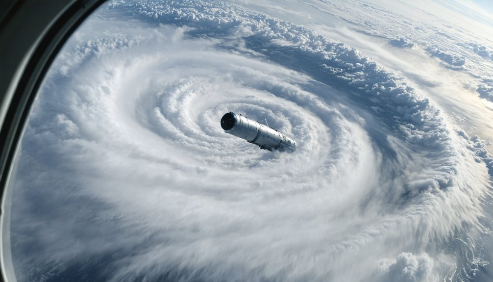
Deployed from Hurricane Hunter aircraft, dropsondes are small, expendable instrument packages that free-fall through a storm’s eyewall while transmitting critical atmospheric data in real time.
As they descend, they measure wind speed, humidity, temperature, and atmospheric pressure across multiple altitudes, giving you a precise vertical profile of eyewall dynamics. A parachute controls the descent rate, maximizing data resolution throughout the fall.
That data streams directly to onboard systems and feeds into numerical weather prediction models through data assimilation, sharpening forecast accuracy before landfall.
Since their operational debut in 1996, dropsondes have remained indispensable for capturing in-situ measurements where no ground-based instrument can reach.
They let you extract actionable intelligence from the storm’s most violent zone without risking permanent infrastructure or prolonged human exposure.
Inside Hurricane Hunter Reconnaissance Flights
Few platforms deliver in-situ storm data as directly as Hurricane Hunter aircraft, which penetrate the eyewall where conditions are most extreme and instruments can’t otherwise reach. You’re looking at aircraft equipped with advanced radar systems, dropsondes, and precision meteorological instruments that operate inside the hurricane eyewall, capturing high-resolution measurements that ground-based systems simply can’t replicate.
These flights generate critical data on wind speed, atmospheric pressure, humidity, and temperature—parameters that directly improve landfall intensity forecasts and storm surge predictions. Without this reconnaissance, forecast models lose initialization accuracy, weakening your ability to anticipate rapid intensification events.
NOAA P-3 aircraft also deploy UAS mid-flight, extending observational reach into the boundary layer. Every penetration delivers actionable intelligence that strengthens forecast precision and ultimately supports informed, timely decision-making before dangerous conditions arrive.
What Doppler Radar Reveals When a Hurricane Makes Landfall
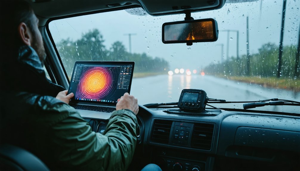
When a hurricane makes landfall, you can rely on Doppler radar to detect precipitation intensity, wind speeds, and the storm’s internal structure in real time.
By analyzing the Doppler shift in returning radar signals, you’re able to identify rotation, wind shear, and regions of extreme rainfall with precise spatial resolution.
These measurements give you a critical window into how the storm’s structure evolves as it shifts from ocean to land, directly informing intensity forecasts and emergency response decisions.
Doppler Radar Detection Capabilities
Doppler radar cuts through the chaos of a landfalling hurricane to reveal what no surface observer can safely measure. You’re tracking precipitation intensity, wind speeds, and storm structure simultaneously as the system crosses the coastline.
The radar’s velocity data exposes wind shear gradients that signal rapid intensification or weakening, giving you actionable intelligence before conditions deteriorate on the ground.
You can identify embedded atmospheric vortices rotating within the outer rainbands—mesovortices capable of producing tornado-strength winds far from the eyewall.
Dual-polarization technology distinguishes rain, hail, and debris lofted aloft, sharpening your situational awareness.
Every radar scan updates your understanding of the storm’s internal dynamics, letting you anticipate structural changes with precision that passive observation simply can’t match.
Storm Structure During Landfall
As a hurricane makes landfall, the radar picture you’re interpreting shifts rapidly—what was a symmetric oceanic system begins fragmenting under the influence of terrain friction, dry air intrusion, and differential surface roughness.
Doppler radar reveals asymmetric wind shear patterns that accelerate eyewall erosion, weakening the storm’s structural coherence faster than open-ocean models predict.
You’ll notice reflectivity gradients tightening on the northeastern quadrant, where storm surge risk peaks due to onshore wind stacking.
Velocity products expose low-level jet streaks and boundary layer decoupling as friction disrupts momentum transfer.
Watch for hook-shaped precipitation signatures indicating mesovortex development along the outer rainbands—these produce the most dangerous localized wind shear events.
Tracking these structural shifts in real time lets you anticipate rapid intensity changes before they register in official advisories.
Airborne Radar Systems Storm Chasers Use to Profile Storms
Airborne radar systems give storm chasers and reconnaissance crews a powerful toolset for profiling tropical cyclones from the inside out. Using aerial thermography and precision instrumentation, you can map storm surface interactions with remarkable detail.
Airborne radar systems give storm chasers a powerful toolset for profiling tropical cyclones from the inside out.
Key systems include:
- Doppler Radar – Measures wind speeds, precipitation intensity, and internal storm structure during active landfall events.
- IWRAP – Captures precipitation reflectivity, velocity, and ocean surface backscatter for boundary-layer analysis.
- KaIA Radar Altimeter – Delivers real-time significant wave height measurements directly beneath the aircraft.
- LIDAR Systems – Provides high-resolution storm structure and intensity data without requiring direct storm penetration.
These platforms let you extract critical atmospheric intelligence independently, giving reconnaissance teams actionable data for accurate intensity forecasting and structural analysis.
How Ground Sensors and Ocean Buoys Feed Storm Forecasts
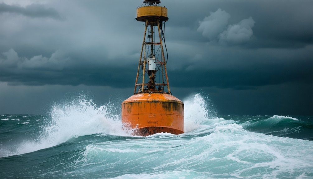
When you look at how storm forecasts come together, you’ll find that IoT sensors on the ground and ocean buoys form a critical data backbone, continuously feeding real-time measurements of wind speed, rainfall, and water levels into forecasting systems.
You can trace how these distributed networks capture environmental parameters across vast geographic areas that no single monitoring station could cover alone.
Once collected, that data transmits to centralized systems where analysts and AI-driven models process it rapidly, converting raw sensor inputs into actionable storm predictions.
Real-Time Sensor Data
How do forecasters keep tabs on a storm’s evolving behavior without direct aerial reconnaissance? Ground sensors and ocean buoys deliver continuous, real-time data streams that reveal critical atmospheric shifts. You’re getting independent, decentralized intelligence that no single aircraft can replicate.
Key parameters these networks monitor include:
- Wind speed and direction — detecting rapid intensification signatures before landfall
- Moisture levels — quantifying atmospheric water vapor driving storm fuel
- Sea surface temperatures — identifying energy sources sustaining cloud formation and convective activity
- Wave height and ocean pressure — tracking surge potential and storm structure evolution
Each sensor transmits data to centralized modeling systems, enabling analysts to cross-reference multiple variables simultaneously. This distributed architecture gives you uninterrupted observational coverage, independent of flight schedules or dangerous eyewall penetration requirements.
Ocean Buoy Networks
Ocean buoys don’t just passively float — they’re actively interrogating the ocean-atmosphere interface at precisely the locations where storm dynamics are most volatile. You’re getting continuous measurements of sea surface temperature, wave height, barometric pressure, and wind vectors transmitted directly into forecast models.
These networks track ocean currents that fuel or suppress intensification, giving you predictive leverage before aircraft can even deploy. Data streams feed NOAA’s centralized systems, where AI-driven models integrate buoy observations with satellite imagery for real-time storm progression analysis.
Marine debris poses a genuine operational threat, disabling buoys at critical moments and creating dangerous data gaps. You need to account for network integrity when evaluating forecast confidence.
Compromised buoys mean compromised model initialization — directly degrading the accuracy of intensity and landfall predictions you’re depending on.
Centralized Data Transmission
Raw buoy data means nothing until it’s moving — fast, accurately, and continuously — into the systems that build your forecasts. Centralized transmission infrastructure converts scattered sensor readings into actionable intelligence.
Here’s how the pipeline works:
- IoT sensors transmit wind speed, rainfall, and water-level readings to centralized analysis hubs in real time.
- Data encryption secures transmission pathways, protecting signal integrity against interference or interception.
- Bandwidth optimization prioritizes high-value meteorological packets during peak storm activity, preventing bottlenecks.
- Centralized systems immediately process incoming data, triggering automated alerts and feeding predictive models.
You’re not just collecting numbers — you’re maintaining a live nervous system for storm forecasting. Every transmission delay costs forecast accuracy.
Optimized, encrypted, continuous data flow is what separates actionable storm intelligence from noise.
How Lightning Activity Signals Hurricane Intensification
Lightning activity within a hurricane’s eyewall and rainbands serves as a critical diagnostic signal for intensification, and the Geostationary Lightning Mapper (GLM) captures this data over open oceans where conventional ground-based detection fails.
When you analyze lightning patterns, rapid increases in flash frequency often precede significant intensity changes by several hours. Storm electrification intensifies as vigorous updrafts loft ice particles and supercooled water droplets into charge-separation zones, creating detectable electrical signatures.
The NASA SPoRT project processes GLM data operationally, giving you real-time insight into convective organization within the storm core. By correlating electrification bursts with concurrent Doppler radar and dropsonde measurements, you can distinguish transient convective pulses from sustained intensification trends, sharpening your forecast accuracy during critical decision windows.
How AI and Machine Learning Improve Hurricane Track Forecasts
As hurricane datasets have grown exponentially, AI and machine learning algorithms now parse satellite imagery, dropsonde profiles, ocean buoy readings, and radar returns simultaneously—a task that’d overwhelm conventional linear models.
Predictive analytics engines identify subtle precursor patterns, sharpening track forecasts before conditions visibly shift. Storm modeling benefits directly as neural networks continuously refine pressure gradient assumptions against observed data.
Four critical AI-driven advances you should know:
- Rapid intensification detection — algorithms flag dangerous wind acceleration 24–48 hours earlier than traditional methods
- Ensemble weighting — ML dynamically prioritizes the most accurate model runs in real time
- Path deviation alerts — anomaly detection flags unexpected track shifts instantly
- Data assimilation acceleration — supercomputers integrate multi-source inputs faster, tightening forecast confidence intervals
These capabilities give you actionable intelligence precisely when decision windows are narrowest.
Frequently Asked Questions
How Do Storm Chasers Stay Safe While Monitoring Hurricanes up Close?
You’ll leverage advanced storm tracking techniques and UAVs to monitor hurricanes remotely, minimizing direct exposure. Utilize real-time hurricane prediction data from IoT sensors and AI-driven analytics to make precise, informed decisions that protect your safety.
What Certifications or Training Do Storm Chasers Need for Hurricane Monitoring?
You’ll need meteorology certifications, storm observation training, and hurricane tracking credentials. Pursue NWS courses, skywarn certification, and hands-on field experience. Master radar interpretation, data analysis, and emergency protocols to effectively and safely monitor hurricane systems professionally.
How Much Does Professional Hurricane Monitoring Equipment Typically Cost?
Hurricane monitoring equipment can cost $50,000–$500,000+—a staggering investment. Your cost analysis must weigh equipment durability against harsh storm conditions. You’ll spend more upfront on resilient gear, but it’ll save you long-term.
Can Citizen Scientists Contribute Meaningful Data During Hurricane Events?
Yes, you can contribute meaningful data through community reporting via IoT sensors and mobile weather stations. Your observations undergo data validation processes, integrating with professional networks to enhance storm tracking accuracy and expand monitoring coverage considerably.
How Do Storm Chasers Coordinate With Emergency Management Agencies During Hurricanes?
Over 70% of storm data reaches agencies within minutes. You’ll establish emergency communication protocols with local emergency management, sharing real-time observations to optimize resource allocation, ensuring responders deploy effectively where conditions demand immediate attention.
References
- https://bryghtpath.com/hurricane-preparedness/
- https://www.youtube.com/watch?v=Wt5DN-nbPUY
- https://climavision.com/blog/how-are-hurricanes-tracked-tools-and-tips-for-superior-coverage/
- https://science.nasa.gov/earth/nasas-hurricane-science-tech-data-help-american-communities/
- https://publicsafety.ieee.org/topics/hurricane-tracking-technology-advancements-and-opportunities/
- https://www.aoml.noaa.gov/observational-instruments/
- https://crazystormchasers.com/advancements-in-hurricane-forecasting-technology/



