To improve your storm chaser news reporting, you’ll need verified data, disciplined methodology, and precision communication. Forecast your target zone 2–3 days out, cross-reference NWS, SPC, and radar outputs, and triangulate every data point before publishing. Always report event location—not your position—with GPS coordinates and exact timestamps. Watermark footage immediately, validate sources relentlessly, and pre-map escape routes before deploying. Master these fundamentals, and the remaining tips ahead will sharpen your operational edge considerably.
Key Takeaways
- Cross-reference storm data from at least three credible sources, including NWS, NOAA radar, and verified ground reports, before publishing anything.
- Always distinguish between your observer position and the actual storm event location using GPS-verified coordinates and landmarks.
- Include explicit timestamps reflecting when the event occurred, not when it was reported or posted online.
- Watermark storm footage immediately after capture to protect content ownership before uploading to any platform.
- Prioritize accuracy over speed—never share unverified social media claims that lack official meteorological confirmation.
Forecast the Target Zone Before Official Warnings Drop
Forecasting the target zone before official warnings drop gives you a critical time advantage that separates reactive chasers from strategic ones. You’re not waiting for alerts; you’re already positioned.
Forecast the target zone before warnings drop — and arrive already positioned, not scrambling to catch up.
Analyze surface and upper air data two to three days out, identifying moisture, instability, lift, and wind shear — the four core ingredients of chaseable severe weather.
Use predictive modeling to quantify storm behavior with precision rather than assumption. Numerical models reveal developing storm patterns hours before warnings materialize, letting you move independently of bureaucratic timelines.
Study terrain and road networks within your target zone to anticipate storm motion and evolution.
When warnings finally drop, you’re already ahead — documenting, reporting, and operating from a position of strategic freedom rather than reactive scrambling.
Identify Credible Meteorological Sources Before You Chase
Before you chase, you must triangulate your data by cross-referencing outputs from the Storm Prediction Center, local National Weather Service offices, and peer-reviewed numerical models to eliminate single-source bias.
You’ll strengthen your situational awareness further by integrating live radar imagery with on-the-ground spotter reports, ensuring your storm strength assessments reflect verified, multi-layered evidence.
Evaluate every media source against its methodology and institutional credibility, rejecting outlets that prioritize sensationalism over data integrity.
Triangulate Multiple Meteorological Sources
Credible meteorological sources form the backbone of every sound chasing decision you’ll make in the field. Don’t rely on a single outlet—triangulate multiple sources to build an accurate operational picture.
Satellite analysis and climate patterns reveal what isolated reports can’t, giving you a layered understanding of evolving conditions.
Cross-reference these four core source types before committing to any chase:
- National Weather Service official forecasts and mesoscale discussions
- Radar platforms like RadarScope for real-time reflectivity and velocity data
- Satellite analysis tools tracking convective initiation and moisture boundaries
- Surface observation networks confirming dew points, wind shifts, and pressure trends
When your sources align, your confidence justifies the chase. When they conflict, you reassess. That discipline separates responsible field journalists from reckless thrill-seekers.
Cross-Reference Radar With Reports
Radar tells you what’s happening aloft—ground reports tell you what’s happening at the surface. Neither source alone gives you the full picture.
Radar validation requires you to cross-check reflectivity and velocity data against eyewitness accounts, spotter networks, and verified social media field reports. When radar indicates rotation but no ground confirmation exists, you hold your assessment.
When ground reports describe debris or damage but radar shows ambiguity, you dig deeper.
Report triangulation eliminates dangerous assumptions. You’re operating in dynamic, life-threatening conditions where a single bad data point can compromise your positioning and your safety.
Cross-reference the Storm Prediction Center, local NWS offices, and trusted spotters simultaneously. Lock in only what multiple independent sources confirm.
That discipline keeps your reporting accurate and your freedom to chase intact.
Evaluate Media Source Credibility
Identify Credible Meteorological Sources Before You Chase
Not every source claiming meteorological authority deserves your trust. Media literacy isn’t optional—it’s operational. Source validation protects your decisions when conditions escalate fast. Before you chase, establish which outlets earn your confidence.
Prioritize these verified source categories:
- National Weather Service (NWS): Official, data-driven, operationally reliable
- University research meteorologists: Peer-reviewed credibility with technical precision
- Established storm chasing networks: Field-tested, ground-truth verified reports
- NOAA radar platforms: Raw, unfiltered atmospheric data you can interpret independently
Avoid social media accounts lacking credentials, institutional affiliation, or consistent accuracy histories. Cross-check every claim against multiple vetted sources before acting.
Your freedom to chase effectively depends on trusting accurate intelligence—not viral speculation dressed as meteorological expertise.
Use Triangulation to Verify Storm Data Before Publishing
Before you publish any storm data, you must cross-reference at least three credible meteorological sources to confirm consistency across reports.
Integrate radar imagery with ground-level eyewitness accounts to build a verified, multi-layered picture of storm strength and behavior.
This triangulation method actively counters misinformation by exposing discrepancies between social media claims and official meteorological data before they reach your audience.
Cross-Reference Multiple Sources
When verifying storm data before publishing, you’ll need at least three independent sources to apply effective triangulation.
Historical case studies confirm that single-source reporting produces critical errors during fast-moving severe weather events. Ethical considerations demand you cross-reference before broadcasting any storm intelligence.
Cross-reference these four source categories consistently:
- Official radar imagery from NOAA or regional meteorological agencies
- Ground-level spotter reports from trained, credentialed field observers
- Real-time social media updates verified against official meteorological bulletins
- Local National Weather Service statements confirming event location and intensity
You’ll eliminate confirmation bias by deliberately seeking contradictory data across all sources.
If two sources conflict, withhold publication until resolution. Your credibility depends on accuracy, not speed.
Triangulation isn’t optional — it’s your professional and ethical baseline.
Integrate Radar With Reports
Cross-referencing sources establishes your verification foundation, but radar integration locks in the accuracy of your storm data before it reaches your audience. You can’t afford to publish storm reports based on a single ground observation or unverified social media claim.
Radar integration lets you compare real-time reflectivity, velocity, and rotation data against what field observers are actually reporting.
When radar signatures align with ground reports, you’ve achieved genuine report validation — and that’s when you publish with confidence. When they conflict, you hold the story until you resolve the discrepancy.
Pull data from multiple radar feeds and cross-reference storm structure with spotter accounts and official meteorological outputs. This triangulation process eliminates guesswork, protects your credibility, and ensures your audience receives accurate, life-critical information without delay.
Counter Misinformation Effectively
Misinformation spreads faster than storm systems, and your job is to stop it before it reaches your audience. Don’t publish unverified claims. Instead, triangulate every data point across multiple credible meteorological sources before releasing anything.
Apply these verification standards consistently:
- Cross-reference real-time social media updates against official meteorological reports to expose inaccuracies
- Validate sensor calibration status on any equipment-generated data before accepting readings as factual
- Apply data anonymization protocols when handling unverified crowd-sourced field reports to prevent source bias
- Integrate radar imagery with ground reports to confirm storm strength independently
You’re the filter between raw chaos and public understanding. Triangulation isn’t optional—it’s your professional obligation. One unchecked claim can cascade into dangerous public decisions, undermining the credibility you’ve built as a responsible storm chasing journalist.
Cross-Reference Radar Against Ground Reports in Real Time
Radar data alone won’t give you the full picture of a storm’s intensity—you’ve got to integrate it with real-time ground reports to build an accurate assessment.
Radar accuracy depends on angles, beam overshooting, and ground clutter interference, all of which can distort your readings. Ground validation fills those gaps by confirming what radar suggests but can’t definitively prove.
When you cross-reference both sources simultaneously, you eliminate blind spots in your analysis. A spotter reporting debris lofted at a confirmed location tells you far more than radar reflectivity alone.
Triangulate that ground report against dual-polarization data and velocity readings to lock in storm strength with precision. This integrated approach safeguards your credibility, sharpens your reporting, and ensures every assessment you publish reflects verified, actionable intelligence.
Report Event Location, Not Your Position in the Field
When you report from the field, you must distinguish between your physical position and the actual event location—these are rarely the same coordinate.
Confusing the two introduces critical errors that mislead emergency responders, meteorologists, and the public interpreting your data.
Transmit precise storm coordinates using GPS-verified references tied to the event itself, not your vantage point.
Event Location Versus Position
When reporting, always:
- State the event’s GPS coordinates or nearest landmark, not your vehicle’s position.
- Specify direction and estimated distance from the event to your location.
- Confirm the event location independently before transmitting data.
- Distinguish clearly in your report: “Tornado located two miles northeast of Elk City” versus *”I’m positioned on Highway 40.”*
You’re the observer, not the story. Conflating the two introduces dangerous ambiguity that compromises situational awareness for every team relying on your transmission.
Avoiding Observer Location Errors
Conflating your position with the event’s location isn’t just a reporting error—it’s a coordination failure that can cost lives. When you transmit field data, distinguish your observer position from the actual storm event’s coordinatess
Emergency responders, NWS personnel, and fellow chasers depend on location accuracy to make critical decisions. Your vehicle’s GPS coordinates mean nothing if they’re misread as the tornado’s ground contact point.
Always state both references explicitly: “I’m positioned at [coordinates]; the funnel is [distance and bearing] northeast.” This eliminates dangerous ambiguity instantly. Use landmark identifiers, mile markers, and cardinal directions to reinforce precision.
Never assume your audience infers the distinction automatically. In high-stakes field communication, clarity isn’t courtesy—it’s operational necessity. Own that responsibility every time you transmit.
Communicating Precise Storm Coordinates
Precision in storm coordinate reporting separates credible field intelligence from dangerous noise. You’re not the story — the storm is.
Storm coordinate accuracy demands you report the event’s location, never your vehicle’s position. Confusing the two corrupts data reporting standards and endangers emergency responders acting on your intel.
Follow these field-critical distinctions:
- Report GPS coordinates of the storm’s confirmed position, not your observation point
- Include cardinal direction and estimated distance from a known landmark or town
- Timestamp the event itself, not when you submitted the report
- Cross-reference your coordinates against radar returns before transmitting
When you transmit clean, verified coordinates, you’re protecting lives and reinforcing your credibility as a trusted field source. Own that responsibility.
Timestamp the Storm Event, Not the Moment You Tweet
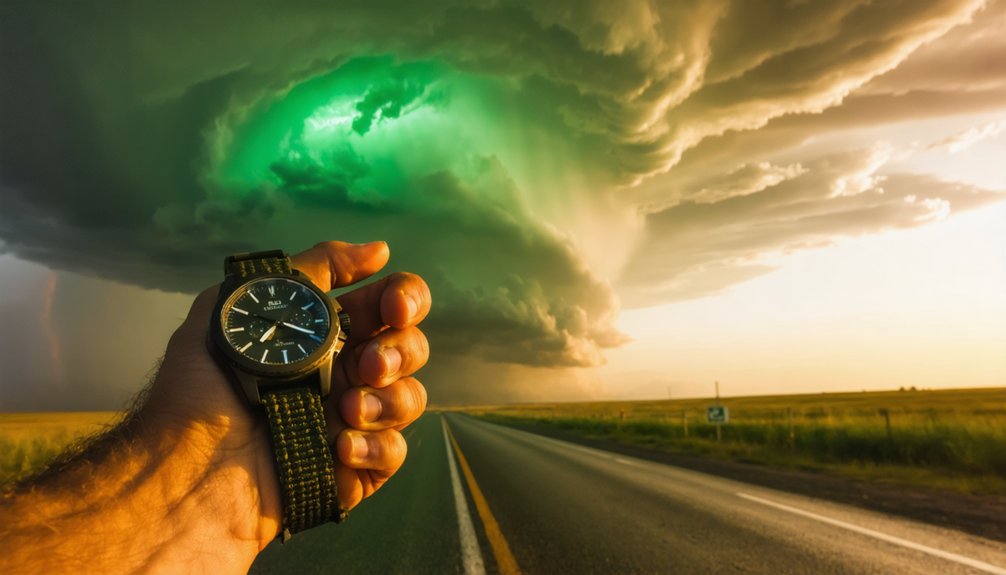
Accurate storm reporting hinges on a detail many chasers overlook: the difference between when an event occurred and when you’re posting about it. When you tweet thirty minutes after observing a tornado, your post’s timestamp becomes dangerously misleading.
The gap between witnessing a storm and reporting it can cost lives.
Emergency managers, meteorologists, and the public rely on precise event timing to map storm progression against historical patterns and account for weather variability across shifting cells.
Always log the exact moment you witnessed the event—not when you grabbed your phone. Include that observation timestamp explicitly in your post. Write “Tornado observed at 6:14 PM CDT” rather than leaving followers to assume your tweet reflects real-time conditions.
This single discipline separates credible field reporting from noise, protecting both your integrity and the lives depending on accurate, actionable storm data.
Post Verified Storm Reports on Social Media With Location and Timestamps
When you post storm reports to social media, every detail you include—or omit—directly affects how emergency managers, meteorologists, and the public interpret the data.
Accurate storm visualization depends on verified, structured reports that drive meaningful social engagement without spreading misinformation.
Each post should include:
- Precise location: Distinguish between your position and the actual event location
- Verified timestamps: Mark when the event occurred, not when you tweeted
- Cross-referenced data: Confirm details using radar, ground reports, and official meteorological sources
- Contextual tags: Tag your local National Weather Service to add credibility
You’re a first-hand source—own that responsibility. Sloppy reporting erodes trust and corrupts the data chain.
Post only what you’ve verified, structure it clearly, and let the facts drive the narrative.
Watermark Storm Footage Immediately to Protect Your Content
Posting verified storm reports builds your credibility—but without watermarking your footage, you’re handing that credibility to anyone who screenshots or reposts your content without attribution.
Watermarking footage immediately after capture isn’t optional—it’s a non-negotiable step in protecting content you’ve risked your safety to produce.
Apply your watermark before uploading anything to social platforms. Use a visible but non-intrusive placement—corner branding with your name, handle, or logo works effectively.
Don’t wait until post-production is complete. If you’re publishing a still image with a “video soon” note, that image needs your watermark first.
Stolen footage circulates fast during breaking weather events. Once your content spreads without attribution, reclaiming ownership becomes nearly impossible.
Watermark early, watermark consistently, and maintain full control of your work.
Report Storm Severity Using Radar, Debris, and Ground Data
Relying solely on visual evidence to rate tornado strength is a critical error that undermines your credibility and accuracy. You need a multi-source approach that incorporates radar interpretation, storm debris analysis, and verified ground reports.
Relying solely on visual evidence to rate tornado strength is a critical error that undermines your credibility.
Combine these data streams to build an accurate severity assessment:
- Radar interpretation: Analyze velocity scans and reflectivity data to identify rotation intensity and storm structure.
- Storm debris analysis: Detect debris signatures on radar to confirm tornado contact with structures or terrain.
- Ground reports: Cross-reference eyewitness accounts with official meteorological data to validate field observations.
- Integrated assessment: Never assign an EF-rating without triangulating all three data sources simultaneously.
This disciplined methodology protects your integrity, delivers actionable intelligence, and ensures your reporting withstands professional scrutiny.
Build Your Escape Route Before You Chase the Story
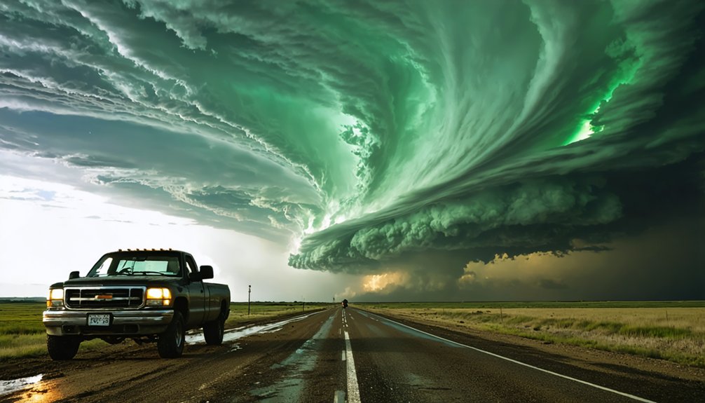
Before you commit to a chase, you’ve got to plan a detailed escape route that accounts for storm movement, terrain, and behavior changes. Storm planning isn’t optional—it’s your lifeline when conditions shift faster than expected.
Study your target area’s road network before deployment. Identify paved exit corridors running perpendicular to the storm’s projected path. Route safety depends on anticipating multiple scenarios, not just your best-case approach. If a tornado changes direction or accelerates, you need pre-mapped alternatives ready instantly.
Avoid dirt roads entirely. Rain-saturated surfaces trap vehicles and eliminate your escape window. Night chases compound these risks through visual disorientation, so factor light conditions into your route assessment.
Your escape plan should be built before you move—not improvised while a wedge tornado closes your exit.
Frequently Asked Questions
How Do Cognitive Biases Affect Storm Chaser Decision-Making and Reporting Accuracy?
You’ll compromise accuracy when confirmation bias locks you into initial storm assessments and anchoring effects skew data interpretation. Actively cross-reference radar, ground reports, and multiple meteorological sources to override these cognitive distortions and preserve reporting integrity.
What Equipment Maintenance Checks Should Storm Chasers Perform Before Deploying?
Before deploying, you’ll need to verify fluids, filters, and tires for peak storm safety. Perform equipment calibration checks on cameras, drones, and communication systems to guarantee you’re capturing precise, reliable data throughout your chase.
How Should Storm Chasers Handle Rain-Wrapped or Nighttime Tornado Situations Safely?
You’re practically invisible in rain-wrapped or nighttime tornadoes—avoid them completely. You’ll lose all visual orientation instantly. Prioritize weather prediction and storm tracking data over direct observation. Don’t chase what you can’t see; it’ll cost you everything.
What Ethical Standards Distinguish Responsible Storm Chasing From Sensational Thrill-Seeking?
You distinguish storm chasing ethics from thrill-seeking through responsible reporting: replace sensational narratives with data integrity, mitigate cognitive biases, source credible meteorological institutions, and prioritize public safety over excitement, ensuring your journalism respects nature and life.
How Do Multi-Vehicle Chase Teams Maintain Effective Communication During Active Storms?
Like a well-oiled machine, you’ll maintain streamed field communication, ensuring team coordination never falters. Cross-reference satellite imagery with partner updates, stay connected across all vehicles, and you’ll never lose track of teammates during active storms.
References
- https://www.reddit.com/r/stormchasing/comments/lvub71/how_important_are_storm_chasers_in_giving_data_or/
- https://ultratechlife.com/blog/is-storm-chasing-out-of-control/
- https://www.weathercentertx.com/weather-101-different-types-of-weather/storm-chasing-101/
- https://www.youtube.com/watch?v=PHcQu8L5nMw
- https://crazystormchasers.com/category/storm-chaser-news-hub/page/3/
- http://www.stormeyes.org/tornado/chasing/FAQ/
- https://www.weather.gov/oun/stormspotting
- https://www.ire.org/how-to-build-a-better-weather-story-tips-for-reporting-before-during-and-after-the-storm/
- https://crazystormchasers.com/media-influence-on-storm-chaser-decision-making/