To win storm chasing competitions, you’ll need sharp forecasting skills, real-time radar fluency, and a pre-built scoring strategy. Prioritize velocity products to spot rotation fast, refresh radar every 90 seconds, and avoid reckless intercepts—safety compliance directly affects your score. Document everything with stabilized, timestamped footage, and map boundaries daily to sharpen your target selection. Master these fundamentals, and the insider strategies that separate top competitors from the rest are just ahead.
Key Takeaways
- Master velocity radar products first, scanning for rotation signatures and hook echoes every 90 seconds during active chase phases.
- Prioritize calculated risk decisions, as recklessness penalizes scores while safe, strategic positioning near verified tornadoes earns maximum proximity points.
- Use a stabilized camera with fast autofocus and Rain-X-treated windows to capture sharp, well-composed documentation for higher quality scores.
- Build forecast accuracy daily by comparing models, mapping boundaries, and reviewing target selections against actual storm developments after each practice session.
- Avoid rain-wrapped and nighttime tornado intercepts, and pre-identify sturdy structures and escape routes before storms develop.
How Storm Chasing Competitions Score Your Performance
Storm chasing competitions evaluate your performance across multiple scoring categories, including storm proximity, documentation quality, and safety compliance.
You’ll earn points based on specific scoring criteria that reward precision over recklessness. Judges assess your storm intercepts, photographic evidence, and radar analysis accuracy.
Your performance metrics typically include:
Your performance metrics span proximity to storms, documentation quality, safety compliance, and forecast accuracy.
- Proximity scoring: How close you positioned yourself to a verified tornado or supercell
- Documentation quality: Sharpness, composition, and timestamped accuracy of submitted media
- Safety compliance: Adherence to established protocols throughout the chase
- Forecast accuracy: How precisely you predicted storm initiation and movement
You won’t advance by taking unnecessary risks.
Competitions reward calculated, data-driven decisions. Track your intercepts systematically, submit timestamped documentation promptly, and demonstrate situational awareness that distinguishes disciplined chasers from reckless ones.
Build Your Forecast Skills Before Competition Day
Before competition day arrives, sharpen your forecast skills by analyzing surface observations daily, using colored pencils to map boundaries and identify patterns that precede storm development.
Consistent data analysis builds the pattern recognition you’ll need when real stakes are involved.
Run forecast models repeatedly, comparing outputs across multiple time frames to understand how accuracy improves closer to the event.
Tools like SpotterNetwork.org offer graphical model training and quizzes that reinforce your fundamentals without guesswork.
After each practice session, review your target area selections against actual storm development.
Identify where your forecast models diverged from reality and correct your methodology.
This iterative process sharpens your decision-making under pressure.
Freedom in storm chasing comes from competence—competitors who invest in daily forecast practice consistently outperform those relying on instinct alone.
Competition Safety Rules You Cannot Afford to Ignore
Safety in competitive storm chasing isn’t optional—at least four chasers have died in tornadoes since organized chasing began, with most fatalities linked to insufficient preparation rather than unavoidable circumstances.
Your safety protocols must eliminate rain-wrapped and nighttime tornado intercepts immediately; near-zero visibility removes your decision-making margin entirely.
Never core punch through hail without armored vehicle protection. Competitive pressure won’t justify that risk assessment failure.
Core punching through hail without armored protection is a gamble no competitive pressure can ever justify.
Identify sturdy structures and ditches along your route before storms develop, not during active pursuit.
Avoid dirt and muddy roads during precipitation—4WD won’t prevent high-speed ditch entries.
Partner with expert meteorologists who analyze real-time data objectively, separating competitive ambition from sound judgment.
Your freedom to chase tomorrow depends entirely on disciplined decisions you make today.
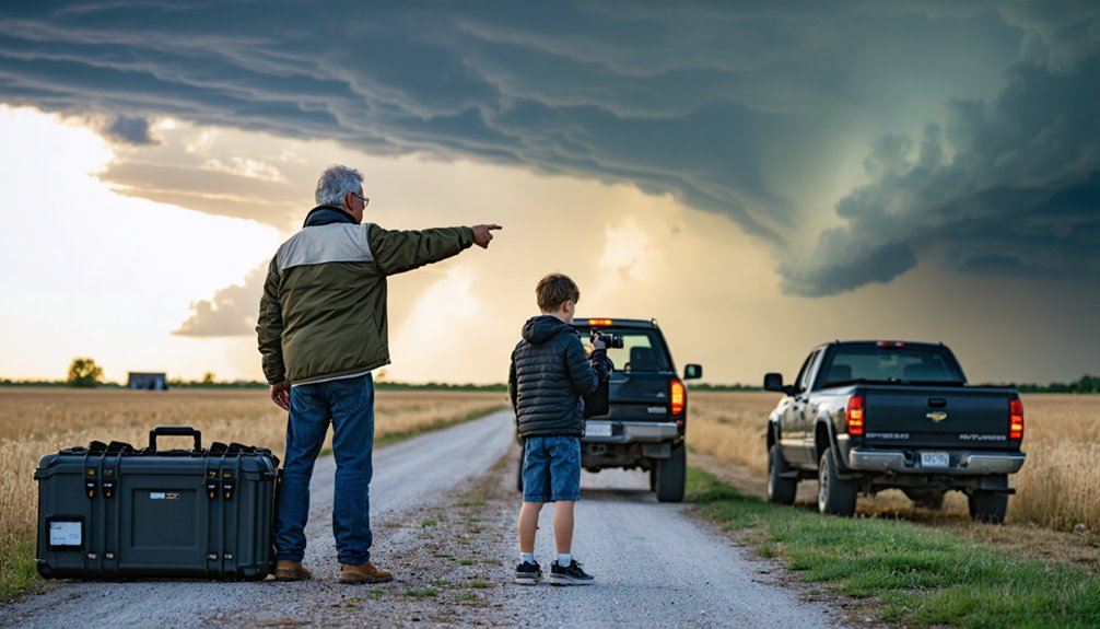
The Gear Setup Serious Competitors Rely On
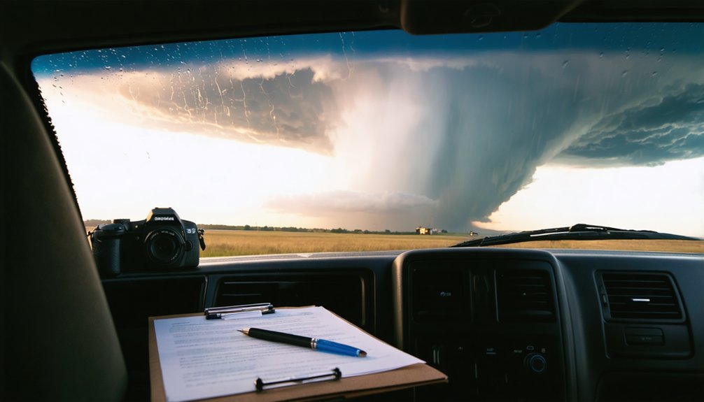
Gear failures mid-chase don’t offer second chances, so your equipment setup needs to function reliably under high-stress, high-speed conditions. Your gear essentials include a camera with fast autofocus, multiple charged batteries, and high-capacity memory cards.
Mount your camera on a stabilizing tripod to capture clean footage despite vehicle movement or wind interference.
Apply Rain-X to all windows before deployment—visibility directly impacts decision-making speed. Equipment upgrades worth prioritizing include real-time radar integration tools and mobile data systems that feed live storm positioning directly to your device.
Check all fluids, secure loose equipment, and confirm your power sources before leaving base. Serious competitors don’t improvise these systems—they standardize them.
A well-configured setup lets you focus entirely on storm behavior rather than troubleshooting preventable mechanical failures.
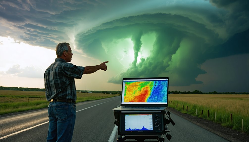
How to Read Real-Time Radar Faster Than Your Rivals
Real-time radar isn’t just a map—it’s a dynamic data stream that separates reactive chasers from those who anticipate storm behavior. Master radar interpretation by scanning velocity products first, identifying rotation signatures before visual confirmation appears.
Hook echoes and bounded weak echo regions signal supercell intensification—recognize these patterns instantly.
Hook echoes and bounded weak echo regions don’t lie—spot these supercell intensification signatures before the storm announces itself.
Your real time analysis workflow should prioritize reflectivity trends, mesocyclone depth, and storm-relative velocity. Refresh your radar every 90 seconds during active chase phases. Track storm movement vectors against road networks simultaneously, so you’re already repositioning while rivals are still processing.
Use dual-pol data to distinguish debris signatures from precipitation—confirmed tornadoes show distinct correlation coefficient drops.
Pair radar with surface observation data to identify boundary intersections where storm initiation accelerates. Speed here wins intercepts.
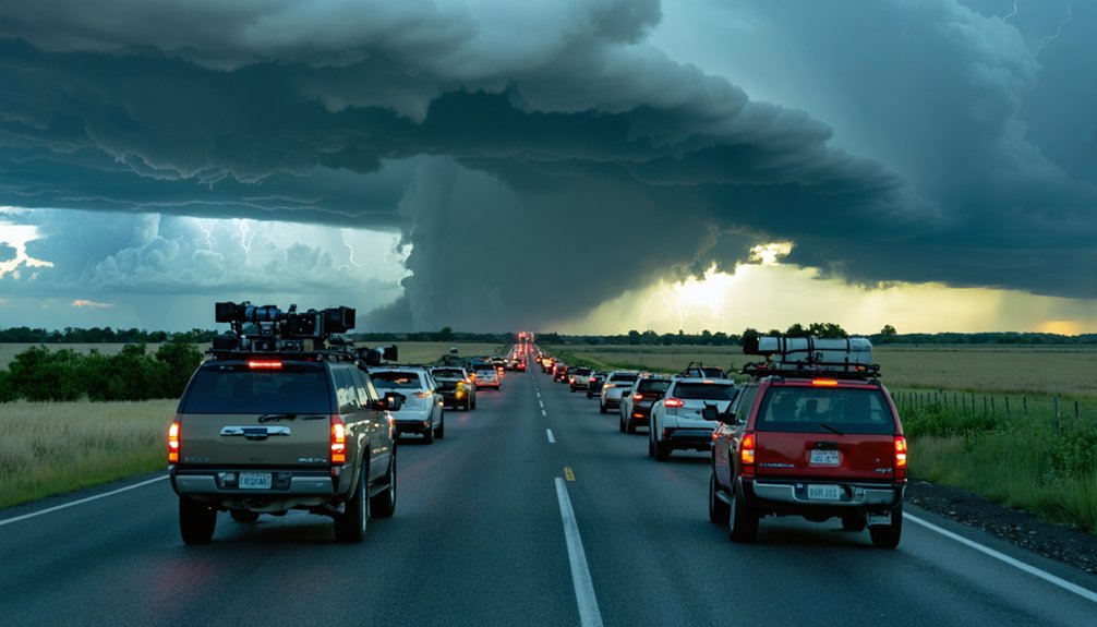
Storm Selection Decisions That Win or Cost Points
When multiple supercells populate your radar scope simultaneously, your storm selection decision determines whether you score a photogenic wedge tornado or spend four hours watching a dying multicell drop marginal hail.
Prioritize storm intensity metrics first—rotational velocity, reflectivity gradients, and mesocyclone depth separate contenders from pretenders.
Evaluate tornado location probability by cross-referencing hodograph shape, low-level shear values, and surface boundary proximity. A storm sitting on a moisture boundary with backing winds outranks an isolated supercell in inferior thermodynamics every time.
Switch storms decisively when your current target weakens. Hesitation costs points.
Real-time radar evolution reveals commitment windows—once a storm’s rotation collapses, redirect immediately toward the strengthening candidate before favorable positioning disappears entirely.
Use a Meteorologist to Win Storm Chasing Competitions
Storm selection instincts sharpen further when you add a dedicated meteorologist to your chase team. Meteorologist partnerships transform raw atmospheric data into actionable intercept decisions, giving you a competitive edge when storm splits and target zones shift rapidly.
Key advantages of data analysis integration:
- Real-time model interpretation — your meteorologist reads mesoscale discussions and ensemble guidance faster than any solo chaser can manage independently.
- Boundary identification — surface observation analysis pinpoints convergence zones where supercell initiation becomes most probable.
- Risk filtering — rain-wrapped and nighttime tornado scenarios get flagged early, keeping your team mobile and positioned advantageously.
You’re not surrendering autonomy by partnering with a meteorologist — you’re multiplying your situational awareness precisely when competition scoring demands accurate, rapid storm selection.
Frequently Asked Questions
How Do You Find Reliable Chase Partners Before a Competition Starts?
Link up with proven partners one to two days prior, leveraging chase partner dynamics through StormTrack.org forums and SpotterNetwork.org. You’ll sharpen communication strategies by syncing on weather models, real-time radar, and flexible intercept plans together.
What Vehicle Preparation Steps Matter Most for Competition Day Success?
Check your fluids, stage your gear, and apply Rain-X before competition day. You’ll want vehicle modifications ready and emergency supplies stocked, ensuring you’re not scrambling when storm initiation demands immediate, decisive repositioning toward your target supercell.
Which Roads Should Competitors Avoid When Intercepting Storms During Events?
Avoid dirt and muddy roads, even with 4WD, especially near precipitation zones. You’ll also want to bypass hazardous intersections and monitor road closures in real-time, as high-speed conditions can force you into dangerous ditches.
How Far in Advance Should Competitors Travel to the Target Area?
Imagine driving overnight from Denver to Oklahoma City — you should arrive one to two days early. Solid timing strategies and distance considerations let you link up with partners and refine your target using updated forecast models.
What Training Resources Help Beginners Prepare for Their First Competition?
You’ll want to complete SpotterNetwork.org training for storm forecasting fundamentals, explore StormTrack.org’s introductory forums, and partner with veteran meteorologists. Master competition etiquette by studying supercells, mesocyclones, and the Enhanced Fujita Scale before your first chase event.
References
- https://www.youtube.com/watch?v=FJWWHDFBRLI
- https://www.youtube.com/watch?v=Ky-Qr9LwiS4
- https://www.weathercentertx.com/weather-101-different-types-of-weather/storm-chasing-101/
- https://stormchasing.com/the-ultimate-guide-to-planning-your-first-storm-chasing-adventure/
- https://www.itstactical.com/transcom/storm-chasing/storm-chasing-its-all-fun-and-games-until-one-chases-you-back/
- https://www.stormchasingusa.com/blog/learning-the-basics-about-storm-chasing/