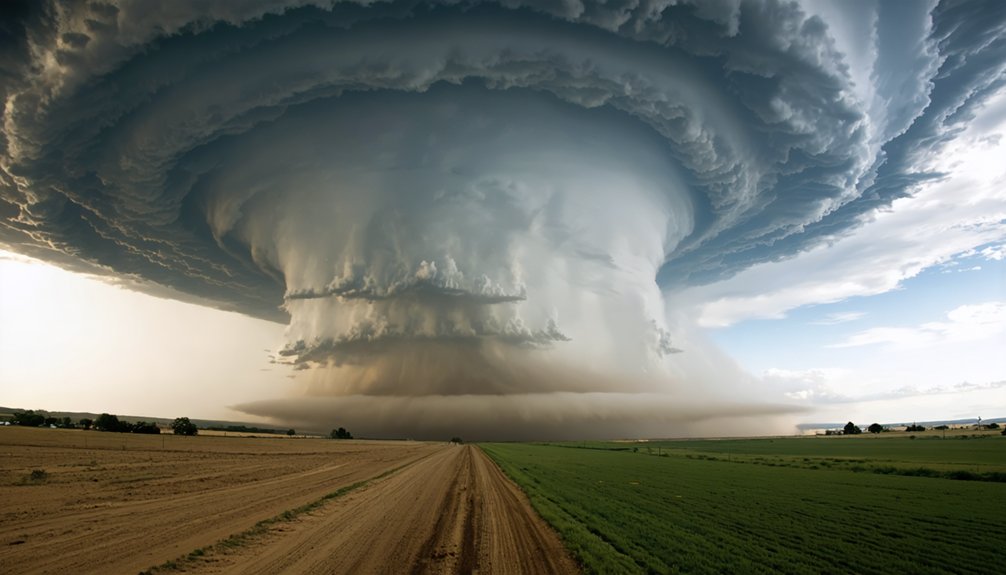
Climate change isn’t creating severe thunderstorms from nothing, but it’s intensifying the conditions that fuel them. Each 1°C of warming adds roughly 7% more atmospheric moisture, and high-CAPE days have increased across the eastern U.S. since 1979. About 76% of weather stations report more extreme precipitation since 1948. However, tornado and hail trends remain harder to confirm. The full picture of how warming reshapes severe storm risk is more complex than you might expect.
Key Takeaways
- Climate change increases atmospheric moisture by ~7% per 1°C of warming, fueling more intense storms and heavier rainfall.
- About 76% of U.S. weather stations report increased extreme precipitation since 1948, with downpours occurring ~30% more often.
- Warming raises CAPE, strengthening storm updrafts, but may reduce wind shear, which is essential for tornado and supercell formation.
- Clear trends exist for heavier rainfall, but tornado, hail, and damaging wind trends remain inconclusive due to data limitations.
- Climate models project more favorable severe storm environments in the eastern and southern U.S. under continued warming scenarios.
What Does “Severe Thunderstorm” Actually Mean?
Before diving into whether climate change is intensifying thunderstorms, it’s worth understanding what scientists actually mean by “severe.” The National Weather Service uses strict storm classification criteria: a thunderstorm qualifies as severe when it produces hail at least one inch in diameter, wind gusts reaching 58 mph or stronger, or a tornado.
This weather terminology matters because it shapes how researchers collect data, identify trends, and draw conclusions. Not every dramatic-looking storm meets the threshold. A storm can drop heavy rain and flash dangerous lightning without ever earning the “severe” label.
When you evaluate claims about climate change and thunderstorms, knowing this classification standard helps you separate precise scientific statements from broader generalizations. The definition itself becomes a critical filter for understanding what the data actually measures.
How Does Climate Change Alter the Ingredients for Severe Storms?
When you warm the atmosphere, you increase its capacity to hold moisture — and more moisture means more fuel for explosive storm development. Researchers measure this instability using CAPE (Convective Available Potential Energy), and data show high-CAPE days have increased across parts of the eastern U.S. since 1979, with some regions recording 10 to 15 additional high-CAPE days above critical thresholds.
However, Arctic warming is simultaneously reducing wind shear in some mid-latitude regions, and since severe thunderstorms require both instability and shear, that reduction can offset the instability gains and complicate any clear trend signal.
Moisture and Instability Changes
To understand why climate change can intensify severe thunderstorms, you need to look at two core atmospheric ingredients: moisture and instability.
Warmer air holds more water vapor, directly fueling heavier rainfall, greater lightning frequency, and extended storm longevity. For every 1°C of warming, the atmosphere retains roughly 7% more moisture, giving thunderstorms a more powerful energy source.
Instability, measured as Convective Available Potential Energy (CAPE), has also risen across parts of the eastern U.S. since 1979. Higher CAPE means stronger updrafts, more explosive storm development, and greater severe weather potential.
Climate models consistently project this trend intensifying under continued warming.
The critical point is this: warming doesn’t just add moisture—it restructures the atmospheric energy balance that determines how powerful a storm can become.
Wind Shear Complicates Signals
While moisture and CAPE are trending upward, wind shear tells a more complicated story. Arctic warming is narrowing the temperature gradient between the poles and the mid-latitudes, which can weaken wind shear — a critical ingredient for rotating, organized storms.
Here’s why that matters for you:
- Reduced shear can suppress tornado and supercell formation even when instability rises.
- Storm track shifts are pushing severe weather into new geographic zones, changing who bears the risk.
- Competing ingredients mean frequency trends stay statistically murky despite rising CAPE.
- Lightning frequency patterns are also shifting as storm structures reorganize under altered wind profiles.
The atmosphere isn’t simply becoming “more stormy.” It’s becoming more complex, and the science demands that precision — not oversimplification.
Are Severe Thunderstorms Getting More Intense?
When you look at the data, the clearest signal emerging from climate research points to heavier rainfall, not simply more storms.
Across the U.S., heavy precipitation events increased at roughly 76% of weather stations** between 1948 and recent decades, with extreme downpours occurring about 30% more often**.
At the same time, storm ingredients like CAPE and atmospheric moisture are shifting in ways that make severe thunderstorm environments more favorable, particularly across the eastern and southern U.S.
Rainfall Intensity Is Rising
Where climate change’s fingerprint shows up most clearly in thunderstorm data isn’t in how often storms strike — it’s in how hard they rain. Warmer air drives storm formation by holding more moisture, amplifying atmospheric dynamics that fuel intense downpours.
The numbers back this up:
- Heavy rainfall from the strongest storms has intensified across most of the U.S. from 1958 to 2021.
- Approximately 76% of U.S. weather stations recorded increases in extreme precipitation since 1948.
- Extreme downpours now occur 30% more often, per NASA analysis.
- Some eastern U.S. regions logged 10 to 15 more high-CAPE days since 1979.
The signal is clear: storms aren’t necessarily striking more frequently, but when they hit, they’re dumping markedly more water.
Storm Ingredients Are Shifting
Rainfall intensity tells only part of the story. To understand severe thunderstorm trends, you need to examine atmospheric dynamics and the individual ingredients that drive storm development.
Historical data shows a mixed picture. CAPE — Convective Available Potential Energy — has increased across parts of the eastern U.S. since 1979, giving storms more explosive potential. Warmer air holds more moisture, adding fuel to convective development. Some regions now see 10 to 15 more high-CAPE days annually than decades ago.
But warming doesn’t uniformly strengthen all storm ingredients. Arctic warming is reducing wind shear in some mid-latitude regions, partially offsetting instability gains.
Severe thunderstorms require multiple ingredients simultaneously, so when some factors rise while others fall, overall frequency trends don’t always follow a clear statistical signal.
Why Is Heavy Rainfall the Clearest Climate Change Signal?
Among all the ways climate change could affect thunderstorms, heavier rainfall stands out as the clearest and most measurable signal—and there’s a straightforward physical reason for that.
Warmer air holds more moisture, directly fueling wetter storm cores. Here’s what the data confirms:
Warmer air holds more moisture—and that single fact is reshaping how hard it rains.
- Heavy rainfall from the strongest storms has intensified across most of the U.S. from 1958 to 2021.
- About 76% of U.S. weather stations recorded increases in extreme precipitation since 1948.
- Extreme downpours now occur roughly 30% more often.
- Atmospheric dynamics tied to higher moisture amplify rainfall rates independent of storm frequency.
Unlike tornadoes or hail, rainfall is directly tied to one measurable variable—moisture. That makes it far easier to detect, quantify, and attribute to warming with high confidence.
What Do Climate Models Predict for Future Severe Thunderstorm Risk?
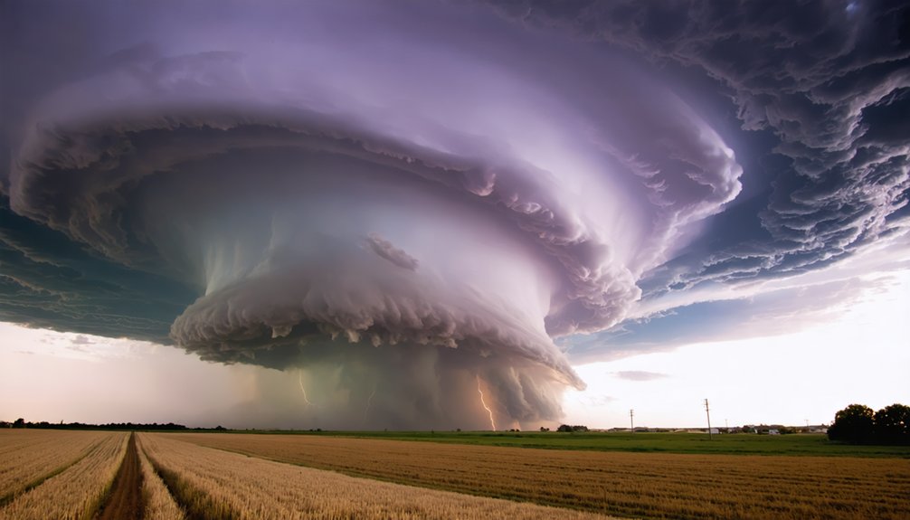
How does the future look if warming continues? Climate models project more favorable severe thunderstorm environments across the eastern and southern United States. One ensemble study found robust increases in severe thunderstorm days under strong warming scenarios. NASA’s research indicates that doubling greenhouse gases could notably raise the number of dangerous storm days in those regions.
Historical data shows CAPE rising in parts of the eastern U.S. since 1979, with some regions recording 10 to 15 additional high-CAPE days annually. Urban expansion compounds this risk by intensifying local heat, adding moisture, and disrupting airflow patterns.
You should understand that models project higher storm potential, not guaranteed storm counts. Natural variability, wind shear reductions, and regional differences still shape actual outcomes, keeping precise frequency predictions difficult.
Why Are Tornado, Hail, and Wind Trends So Hard to Attribute to Climate Change?
While heavier rainfall trends show a clear climate signal, tornado, hail, and damaging wind trends are far harder to pin on warming. Data limitations and inconsistent storm detection make attribution nearly impossible.
Here’s why these hazards resist clear conclusions:
- Reporting bias — Tornado records improve as population density and radar coverage expand, inflating modern counts.
- Small-scale events — Tornadoes and hail occur over tiny areas, making long-term trend detection statistically difficult.
- Mixed ingredients — Warming raises CAPE but may reduce wind shear, offsetting severe storm frequency gains.
- Short reliable records — Consistent, quality-controlled data only stretches back decades, too brief to isolate climate signals from natural variability.
You can’t draw firm conclusions from incomplete data — and the science doesn’t pretend otherwise.
How Confident Are Scientists About Climate Change and Severe Storms?
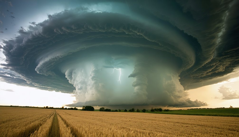
Scientists don’t speak with one voice when it comes to climate change and severe thunderstorms — their confidence varies sharply depending on which hazard you’re examining.
When it comes to climate change and severe thunderstorms, scientific confidence isn’t uniform — it shifts dramatically depending on the hazard.
On rainfall intensity, confidence is high. Warming increases atmospheric moisture, and observations confirm heavier downpours across roughly 76% of U.S. weather stations since 1948. That signal cuts through historical variability clearly.
Beyond rainfall, confidence drops. The IPCC acknowledges it’s extremely difficult to detect and attribute changes in severe convective storms. Data limitations undermine tornado, hail, and damaging wind trend analysis — reporting networks are inconsistent, records are short, and natural variability masks any forced signal.
Scientists can tell you the atmosphere is becoming more favorable for severe storms in the eastern U.S., but they can’t yet confirm that translates into measurably more frequent events.
Frequently Asked Questions
Which U.S. Regions Face the Greatest Increase in Severe Thunderstorm Risk?
You’re facing the greatest risk in the eastern and southern U.S., where urban heat amplifies instability, oceanic influence boosts moisture, and models project 10–15 more high-CAPE days annually under continued warming.
Has Climate Change Shifted the Seasonal Timing of Severe Thunderstorm Outbreaks?
You’re seeing early-season shifts in severe thunderstorm outbreaks, as rising atmospheric instability extends high-CAPE days into late winter and spring. Storm intensity signals are emerging, but attribution remains uncertain against natural variability.
Can Individual Severe Thunderstorm Events Be Directly Linked to Climate Change?
You can’t pin a single storm entirely on climate change, but warming’s fingerprints show up in storm intensity and precipitation patterns—it’s loaded the atmospheric dice, making extreme downpours measurably more frequent and intense.
How Does Arctic Warming Specifically Affect Mid-Latitude Severe Thunderstorm Formation?
Arctic amplification weakens your jet stream, reducing wind shear across mid-latitudes. That shear reduction can offset rising CAPE, complicating severe thunderstorm formation. You’re seeing competing forces, not a straightforward increase in storm frequency or intensity.
Are There Any Places Where Climate Change Is Reducing Severe Thunderstorm Potential?
Like a seesaw tipping, reduced wind shear in some mid-latitude regions weakens severe thunderstorm potential—your climate adaptation strategies should note this. Thunderstorm mitigation efforts matter most where warming cuts shear, partially offsetting instability gains.
References
- https://science.nasa.gov/earth/earth-observatory/severe-thunderstorms-and-climate-change-80825/
- https://climateinstitute.ca/news/fact-sheet-climate-change-and-storms/
- https://scied.ucar.edu/learning-zone/climate-change-impacts/climate-severe-storms
- https://pmc.ncbi.nlm.nih.gov/articles/PMC3799355/
- https://www.sciencedirect.com/science/article/abs/pii/S0169809512000968
- https://journals.ametsoc.org/view/journals/bams/94/4/bams-d-11-00262.1.pdf
- https://www.ipcc.ch/report/ar6/wg1/chapter/chapter-11/
- https://www.stat.berkeley.edu/~aldous/157/Papers/extreme_weather.pdf
- https://weather.metoffice.gov.uk/climate/climate-and-extreme-weather
- https://journals.ametsoc.org/view/journals/clim/28/6/jcli-d-14-00382.1.xml