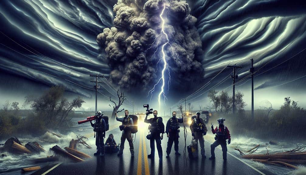
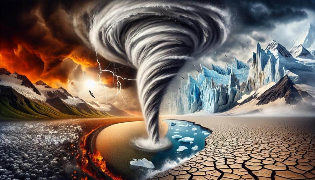
We meticulously capture the impacts of climate change using advanced technologies. High-resolution storm footage with HD cameras and drones provides precise data. Real-time weather data from satellites and sensors offer actionable insights. Drone-based aerial surveys allow us to monitor remote and inaccessible areas accurately. Time-lapse photography documents long-term environmental changes like shifting cloud patterns and glacier retreats. To conclude, in-depth field interviews give qualitative insights from scientists and local residents, supplementing our data with personal experiences. Each method provides critical information, enhancing our understanding of this global challenge. Discover the intricacies of our methods and their implications on climate science.
Key Points
- High-definition drone footage analyzes storm dynamics and predicts future weather patterns.
- Real-time satellite and ground sensors monitor global atmospheric changes and localized weather data.
- Drone-based aerial surveys provide precise data from remote and inaccessible areas.
- Time-lapse photography documents long-term environmental changes, informing climate models.
High-Resolution Storm Footage
High-definition storm footage provides us with detailed, measurable data essential for analyzing the effects of climate change on extreme weather patterns. By leveraging advanced drone technology, we can capture unprecedented views of these powerful phenomena, allowing us to observe their formation, progression, and impact with remarkable clarity.
Drone technology has revolutionized the way we study extreme weather. Equipped with high-definition cameras and sensors, drones can safely navigate hazardous conditions that would otherwise be inaccessible. This capability is essential for collecting precise data on storm dynamics, wind speeds, and precipitation rates. With this information, we can identify patterns and trends that link climate change to the increasing frequency and severity of extreme weather events.
Moreover, the accessibility and mobility of drones enable us to cover vast areas rapidly, ensuring that we gather thorough datasets. These datasets are invaluable for constructing accurate models and simulations, which help us predict future weather patterns and mitigate potential risks.
As we continue to refine our technology and analytical methods, the high-definition footage captured by drones remains a crucial tool in our quest to understand and address the impacts of climate change on extreme weather.
Real-Time Weather Data Collection
Leveraging advanced satellite and ground-based sensors, we can collect real-time weather data that provides vital insights into the evolving dynamics of climate change. Satellite monitoring allows us to observe atmospheric changes on a global scale, capturing data on temperature, humidity, and storm patterns. These observations are essential for understanding long-term climate trends and immediate weather events.
Ground observations complement satellite data by offering localized, high-resolution measurements. Instruments such as weather balloons, radar systems, and automated weather stations provide detailed information on wind speed, precipitation, and atmospheric pressure. This dual approach ensures we have a detailed dataset to analyze.
Remote sensing technology plays a key role in this process. By utilizing sensors that detect and measure electromagnetic signals, we can gather data on various environmental parameters without direct contact. This method enhances our ability to monitor remote or inaccessible areas, providing a clearer picture of climate change's impact.
Data analysis then transforms these raw datasets into actionable insights. By applying statistical models and machine learning algorithms, we can identify patterns and predict future climatic shifts. This capability empowers us to make informed decisions, fostering resilience and adaptation in the face of a changing climate.
Drone-Based Aerial Surveys
Drone-based aerial surveys further enhance our climate monitoring capabilities by providing high-resolution, real-time data from previously inaccessible areas. By utilizing drones, we achieve unprecedented levels of data accuracy, enabling us to observe minute environmental changes. These surveys allow us to reach remote locations that are often challenging or dangerous to access, such as dense forests, high-altitude regions, and disaster-stricken zones.
While drones offer significant advantages, we must also acknowledge their limitations. Battery life constraints restrict the duration of flights, and adverse weather conditions can impede data collection. Despite these challenges, the benefits of drones in minimizing human risk and maximizing data collection efficiency are undeniable.
Our ability to conduct drone-based aerial surveys has profound implications for understanding climate change's environmental impact. By capturing high-resolution imagery and detailed topographical data, we can monitor deforestation, glacial retreat, and coastal erosion with greater precision. This data is essential for modeling future climate scenarios and developing mitigation strategies.
Time-Lapse Photography Techniques
Time-lapse photography techniques enable us to capture and analyze long-term environmental changes with unparalleled detail and accuracy. By setting up cameras to take images at regular intervals, we can document nature's transformation over days, months, or even years. This technique provides us with a powerful form of visual storytelling, allowing us to condense significant temporal changes into short, impactful sequences.
Our cameras capture everything from snow melting on mountain peaks to the gradual encroachment of deserts. These images form an essential part of climate documentation, offering irrefutable evidence of atmospheric changes and their impact on ecosystems. For example, we've documented shifting cloud patterns, fluctuating water levels, and the retreat of glaciers, all of which contribute to our understanding of climate dynamics.
The precision of time-lapse photography allows us to quantify changes in a way that static images or real-time video simply can't. By analyzing frame-by-frame data, we identify subtle shifts in environmental conditions. This technique isn't just about creating compelling visuals; it's about providing concrete data that inform climate models and influence policy decisions.
When used correctly, time-lapse photography becomes a critical tool for anyone committed to understanding and combating climate change.
In-Depth Field Interviews
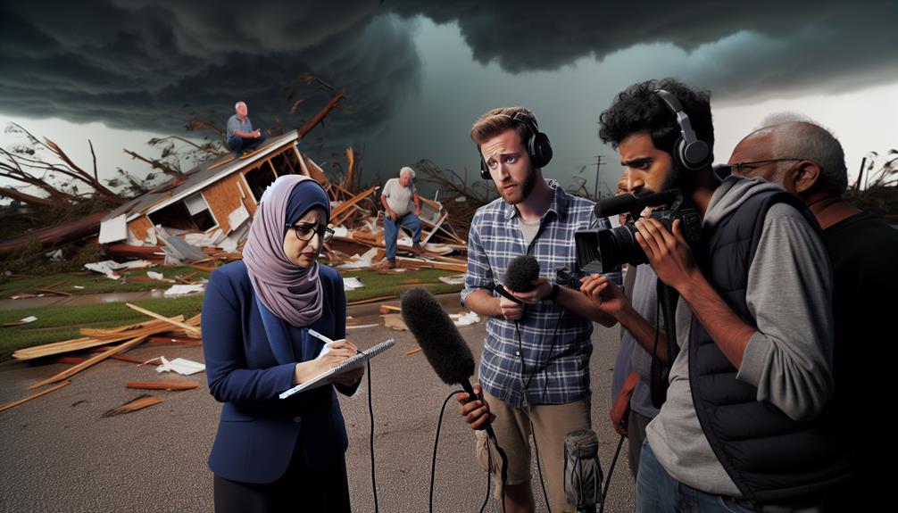
To complement the visual data from time-lapse photography, conducting in-depth field interviews with local residents and scientists provides invaluable qualitative insights into the immediate and long-term effects of climate change on their communities. By gathering expert opinions and firsthand experiences, we're able to paint a more thorough picture of the evolving climate landscape.
Our interviews with scientists yield precise scientific observations that reveal patterns and anomalies not always visible through photography alone. For instance, a climatologist might explain how shifting weather patterns are impacting local agriculture, while a meteorologist could highlight changes in storm frequency and intensity. These expert opinions offer a grounded understanding of the broader implications of climate changes.
Simultaneously, personal insights from local residents provide a human dimension to our data. Their firsthand experiences of increasingly severe weather events, changing seasons, and their direct impact on livelihoods add depth to our findings. A farmer detailing crop losses or a coastal resident discussing rising sea levels offers tangible evidence of climate change's reach.
Frequently Asked Questions
What Safety Measures Do Storm Chasers Take During Extreme Weather Events?
Remember a pilot's precision in turbulence? That's us. We follow emergency protocols and wear protective gear to guarantee safety. Data shows that well-prepared storm chasers greatly decrease risks, allowing us to explore with freedom and confidence.
How Do Storm Chasers Fund Their Expeditions and Equipment?
We rely on diverse funding sources, including grants, sponsorships, and crowdfunding, to finance our expeditions. Equipment procurement is meticulously planned, prioritizing cost-efficiency and reliability to guarantee we maximize our resources and maintain operational freedom.
What Qualifications or Training Do Storm Chasers Typically Have?
We typically have a solid meteorology education and extensive field experience. These qualifications guarantee we're well-prepared to analyze weather patterns and make informed decisions, allowing us to chase storms effectively and safely while maintaining our independence.
How Do Storm Chasers Collaborate With Meteorologists and Climate Scientists?
Although some might doubt it, our collaboration techniques with meteorologists and climate scientists are seamless. We integrate research using shared data platforms, real-time communication, and joint field missions to provide precise, actionable insights into extreme weather events.
What Role Does Social Media Play in Storm Chasing and Sharing Findings?
We use social media engagement for real-time updates, drastically impacting public perception and awareness. By sharing our findings instantly, we enhance understanding and mobilize communities, making storm chasing a powerful tool for raising climate change awareness.