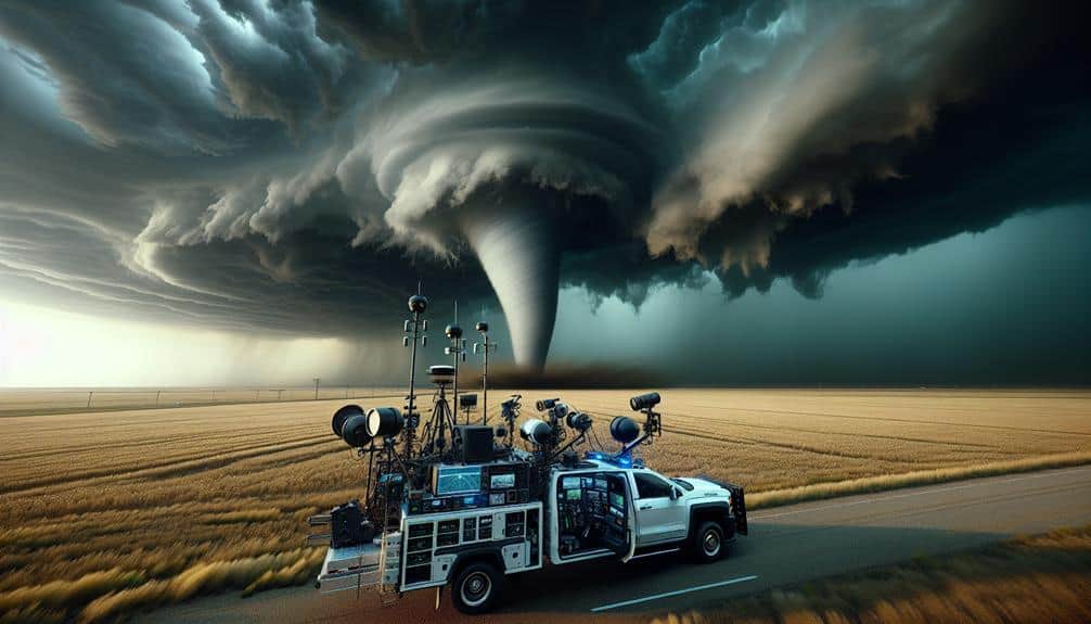
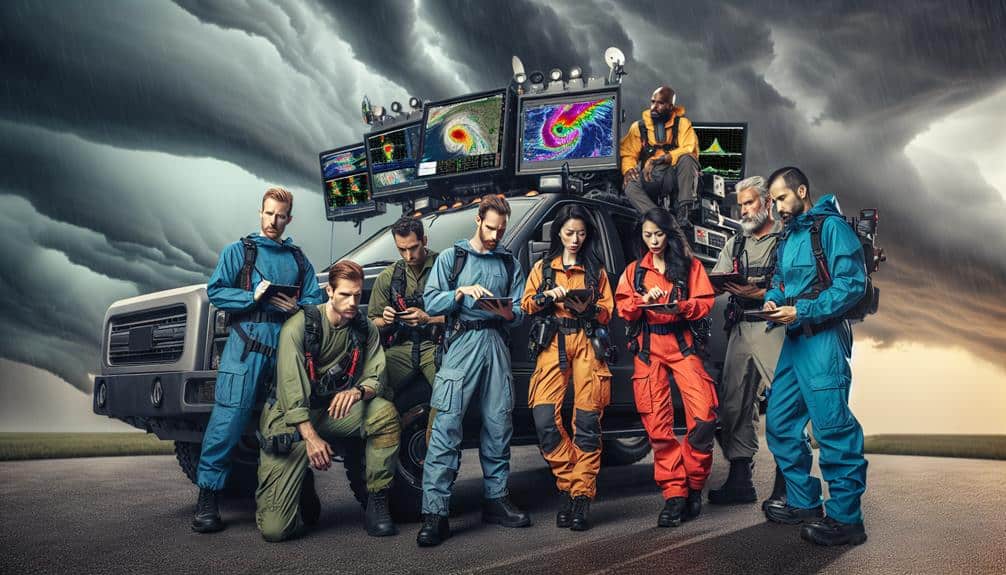
We use live tracking tools for storm chasing to access real-time weather data that enhances our predictive analytics and safety protocols. These tools utilize advanced data visualization and predictive algorithms to provide dynamic weather updates, ensuring we avoid high-risk zones. With improved forecast accuracy, we leverage high-resolution satellite imagery and Doppler radar for strategic route planning. Real-time data streams feed into our remote monitoring systems, optimizing resource allocation and team coordination. Incorporating machine learning models further refines our storm path predictions. By leveraging these technologies, we stay ahead of severe weather changes, offering valuable insights for our operations.
Key Points
- Enhance Safety: Real-time weather updates improve safety by enabling storm chasers to avoid high-risk zones and respond swiftly to changing conditions.
- Improve Forecast Accuracy: Live tracking tools utilize advanced data analysis, high-resolution imagery, and machine learning for precise storm path predictions.
- Optimize Resource Utilization: Efficient route planning and resource allocation are achieved through dynamic data integration and real-time updates.
- Enhance Team Coordination: Instantaneous updates and collaborative tools improve communication and strategic planning among storm chasing teams.
Real-Time Weather Data
Real-time weather data is crucial for storm chasing as it allows us to make informed decisions based on the latest atmospheric conditions. By leveraging advanced data visualization techniques, we gain immediate insights into complex weather patterns, enabling us to predict storm pathways with greater accuracy. Remote monitoring systems provide a continuous flow of data, facilitating a dynamic understanding of evolving meteorological phenomena. This real-time data integration is essential for tracking variables such as wind speed, humidity, and barometric pressure.
Through the utilization of data visualization, we can decipher intricate datasets into intuitive graphs and maps, offering a clear representation of storm dynamics. This enhances our situational awareness, allowing for swift decision-making. Remote monitoring tools, such as Doppler radar and satellite imagery, provide high-resolution data that can be accessed from any location, giving us the mobility and flexibility to navigate unpredictable weather scenarios.
Our reliance on these technologies highlights the need for precise and timely data. With real-time weather data, we aren't just passive observers; we actively interact with the storm environment, optimizing our strategies and routes based on the most up-to-date information available. This approach guarantees that we remain agile and informed, maximizing our operational effectiveness.
Enhanced Safety Measures
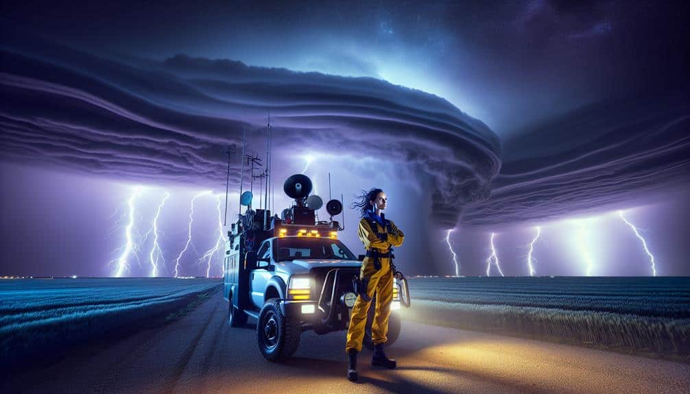
We must prioritize enhanced safety measures by leveraging real-time weather updates to avoid dangerous areas efficiently. These tools enable us to make data-driven decisions, minimizing risks and optimizing our positioning.
Additionally, integrating emergency response coordination guarantees we can act swiftly in crisis scenarios.
Real-Time Weather Updates
Accurate and timely weather updates greatly enhance safety measures for storm chasers by providing critical data on storm paths and intensities. Real-time weather monitoring allows us to make informed decisions rapidly, ensuring we can adapt our routes and strategies to emerging conditions. This capability is essential for maximizing our safety and effectiveness in the field.
Real-time data offers several advantages:
- Dynamic Weather Monitoring: Continuous updates on storm development and movement help us stay ahead of severe weather changes.
- Enhanced Emergency Response: Immediate alerts on escalating conditions enable us to execute timely safety protocols and assist in local emergency efforts.
- Data-Driven Decision Making: Access to precise meteorological data supports informed tactical decisions, reducing risks and optimizing our operations.
Avoid Dangerous Areas
By utilizing advanced predictive algorithms and geospatial analysis, we can proactively identify and avoid high-risk zones, significantly reducing our exposure to dangerous conditions. These technologies enable us to conduct thorough risk assessments in real-time, utilizing data from multiple meteorological sources. This allows us to map out potential threat areas with remarkable precision, ensuring that we maintain a safe distance from the most hazardous elements of the storm.
Our approach is grounded in data-driven decision-making. By continuously monitoring parameters such as wind speed, atmospheric pressure, and precipitation rates, we can adapt our trajectory dynamically. This flexibility is essential for minimizing risk and optimizing our storm-chasing routes. The integration of geospatial analysis further enhances our situational awareness, providing detailed visualizations of storm paths and intensity levels.
Furthermore, live tracking tools facilitate swift emergency evacuation procedures. If conditions worsen unexpectedly, we can promptly identify the safest exit routes, ensuring a quick and organized retreat. This capability is crucial for safeguarding not only our safety but also the integrity of our equipment and data.
Essentially, these improved safety measures empower us to pursue storms with a higher level of confidence and security, all while enjoying the freedom to explore nature's most breathtaking phenomena.
Emergency Response Coordination
Leveraging live tracking tools not only aids in avoiding hazardous zones but also plays a pivotal role in orchestrating efficient emergency response coordination. These tools allow us to optimize resource allocation and refine communication strategies, guaranteeing we maximize our safety and operational effectiveness.
Real-time data feeds provide granular insights into storm trajectories, enabling us to make data-driven decisions quickly.
Our communication strategies are vastly enhanced by live tracking tools, which facilitate seamless information sharing among team members and emergency responders. This ensures that everyone is on the same page, minimizing the risk of miscommunication during critical moments.
Consider the following benefits:
- Real-time Alerts: Immediate updates about changing weather conditions allow for rapid adjustments to response plans.
- Resource Allocation: Efficiently distribute personnel and equipment based on the latest storm data, reducing downtime and increasing response efficacy.
- Enhanced Communication: Improve the clarity and speed of information dissemination among team members and with external agencies.
Improved Forecast Accuracy
With advancements in meteorological algorithms and real-time data assimilation, we can now predict storm paths with unprecedented precision. This level of accuracy stems from sophisticated data analysis techniques that integrate vast arrays of atmospheric data points. Our live tracking tools leverage high-resolution satellite imagery, Doppler radar, and surface observations to refine our predictive models continuously.
We employ ensemble forecasting, which involves running multiple simulations with varied initial conditions, to quantify uncertainties. This process enhances our risk assessment capabilities, allowing us to predict potential storm impacts with greater confidence. By analyzing model outputs, we can identify shifts in storm intensity, direction, and potential hazards, providing us with a strategic advantage in the field.
Furthermore, the integration of machine learning algorithms enables us to detect patterns and anomalies that manual analysis might overlook. These algorithms process terabytes of meteorological data, offering us actionable insights in real-time. The result is a dynamic, adaptive forecast model that evolves with the storm, offering unparalleled accuracy.
Efficient Route Planning
For efficient route planning, we must leverage real-time weather updates to guarantee our paths are both safe and strategically ideal.
By integrating these updates with advanced algorithms, we can dynamically adjust our routes to avoid hazards and maximize data collection opportunities.
This approach minimizes risks and enhances our storm-chasing efficacy.
Real-Time Weather Updates
Access to up-to-date weather updates is vital for efficient route planning during storm chasing, enabling us to make data-driven decisions and adjust our trajectories on the fly. By leveraging advanced storm monitoring and weather tracking tools, we can precisely navigate the unpredictable nature of severe weather conditions. This real-time data empowers us to stay ahead of the storm and minimize risks.
Up-to-date weather updates provide several critical advantages:
- Dynamic Data Integration: We can integrate multiple data sources, such as radar imagery, satellite feeds, and local weather stations, to form a thorough understanding of the storm's behavior.
- Immediate Alerts: Instant notifications about changes in storm intensity or direction allow us to react promptly, ensuring our safety and increasing the likelihood of successful storm intercepts.
- Enhanced Predictive Analytics: Utilizing machine learning algorithms, we can predict storm paths more accurately, optimizing our movements and reducing unnecessary detours.
Incorporating these elements, real-time weather updates enhance our storm chasing experience, offering the freedom to explore while maintaining a high degree of safety and efficiency.
Optimal Path Selection
Best path selection hinges on leveraging real-time data analytics to dynamically adjust our routes, guaranteeing we maximize storm intercept opportunities while minimizing risks and resource expenditure. By integrating advanced algorithms with live tracking tools, we can achieve superior route enhancement. This method empowers us to make split-second decisions based on the latest meteorological data, traffic conditions, and geographical constraints.
Our storm interception strategies depend heavily on the precision of these tools. Real-time updates enable us to pivot quickly, strategically positioning ourselves for optimal observation while avoiding hazardous zones. This adaptability is essential as storm patterns can shift unexpectedly, demanding a flexible and responsive approach.
Moreover, route enhancement isn't just about reaching the target faster; it's about doing so efficiently. By analyzing variables such as fuel consumption, road accessibility, and potential safety hazards, we can conserve resources and enhance our operational efficacy. This data-driven approach guarantees we allocate our efforts where they're most impactful, allowing us to chase more storms with less downtime.
In essence, employing live tracking tools for route enhancement not only amplifies our storm interception success but also augments our overall mission efficiency, aligning seamlessly with our pursuit of freedom and exploration.
Better Team Coordination
Effective team coordination in storm chasing relies on leveraging real-time data from advanced live tracking tools. By integrating these tools, we greatly enhance communication efficiency and teamwork coordination, which are crucial for our success. The flow of instantaneous data allows us to adapt quickly, guaranteeing we make precise decisions in high-stakes environments.
Live tracking tools provide us with the capability for strategic planning and efficient resource allocation. This means we can position our teams more effectively, avoiding redundant efforts and making sure that each team member is where they need to be.
Key advantages include:
- Communication Efficiency: Real-time updates ensure that all team members are on the same page, reducing response times and preventing miscommunication.
- Teamwork Coordination: Collaborative tools enable seamless interaction among team members, fostering a unified approach to storm chasing.
- Strategic Planning: We can analyze data in real-time, allowing us to predict storm paths and plan our actions accordingly.
Using these advanced tools empowers us to chase storms with precision, guaranteeing our safety and maximizing our data collection capabilities.
Comprehensive Data Collection
Utilizing the same live tracking tools that enhance our team coordination, we can amass a wealth of meteorological data in real-time, enabling a thorough understanding of storm dynamics. By using these tools, we're not just observing storm paths but also collecting high-resolution data on atmospheric pressure, humidity, wind speed, and temperature. This extensive data collection feeds directly into our data analysis processes, allowing us to refine our storm prediction models with unparalleled accuracy.
Our analytical framework benefits greatly from real-time data streams, as they provide a detailed view of evolving weather patterns. We can identify anomalies and quickly adapt our strategies. The integration of these metrics into our predictive algorithms enhances our ability to forecast storm behavior, giving us a critical edge in anticipating severe weather events.
Moreover, these tools facilitate a decentralized approach to data collection, empowering each team member to contribute to a collective database. This collaborative effort not only strengthens our data analysis but also democratizes the process, giving us the freedom to innovate and improve our methodologies continually.
Essentially, live tracking tools are essential for achieving precise storm prediction, driving both our mission and passion forward.
Public Awareness and Reporting

To maximize public safety, we need to incorporate real-time storm data into a robust public awareness and reporting system. Leveraging live tracking tools enhances our ability to disseminate accurate, timely information to the community. This integration fosters community engagement and empowers individuals through citizen reporting. By enabling the public to report their observations, we create a dynamic feedback loop that enriches our data pool and improves our predictive models.
Integrating live tracking tools with community engagement initiatives transforms the public from passive recipients of information into active participants in storm tracking. By harnessing the collective observational power of citizen reporting, we not only improve public safety but also cultivate a knowledgeable, resilient community capable of facing storm challenges head-on.
- Real-time Alerts: Immediate dissemination of storm updates allows for prompt public reaction and preparation, reducing potential harm.
- Data Validation: Citizen reports offer ground-truth verification for our meteorological data, increasing the accuracy and reliability of our forecasts.
- Community Resilience: Enhanced public awareness fosters a proactive community, better equipped to handle storm threats through informed decision-making.
Frequently Asked Questions
Which Live Tracking Tools Are Most Recommended for Storm Chasing?
We recommend RadarScope and GRLevel3 for storm chasing. Both provide storm prediction and real-time updates. These tools offer high-resolution radar data, ensuring we stay informed and free to make quick, data-driven decisions during our pursuits.
Are There Any Costs Associated With Using Live Tracking Tools?
When considering cost, we analyze both paid and free options. Cost considerations vary widely; some tools offer premium features, while others provide essential services at no charge. Evaluating these helps us choose the best fit for our needs.
Can Live Tracking Tools Be Integrated With Mobile Devices?
Yes, live tracking tools can integrate with mobile devices. They provide real-time updates, enhancing our situational awareness and mobility. This mobile integration guarantees we stay informed and make data-driven decisions while pursuing our passion for storm chasing.
How Do Live Tracking Tools Handle Data Privacy Concerns?
We guarantee data privacy by implementing robust data encryption techniques. Users must provide explicit consent before any data collection occurs. These measures give users control over their information, fostering a sense of security and freedom.
What Training Is Required to Effectively Use Live Tracking Tools?
Imagine traversing a digital storm landscape; we must understand the training requirements and practical applications. We need rigorous certification, hands-on workshops, and continuous education to master data interpretation, ensuring our freedom in real-time storm tracking.