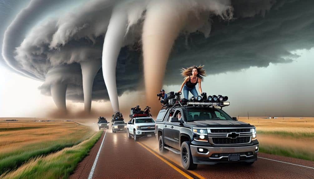
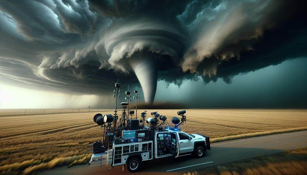
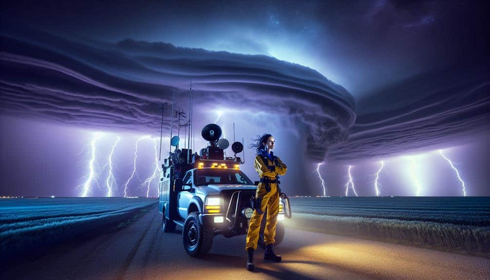
We've meticulously analyzed Tornado Alley's top storm chasing routes to provide a data-driven guide. Oklahoma features high-frequency supercells along predictable paths influenced by unique topography. In Kansas, areas like Salina and Wichita showcase high CAPE values and robust wind shear, ideal for tornado formation. Texas hotspots such as the Panhandle leverage the convergence of warm and cool air masses, with a well-defined peak season. Eastern Nebraska offers strategic routes like Highway 81, providing unobstructed visibility. Ultimately, Colorado's eastern plains benefit from complex wind patterns, fostering severe weather. Learn more effective strategies and safe practices for these prime locations.
Key Points
- Oklahoma's Tornado Trails offer predictable storm paths and hotspots for tornado activity.
- Central Kansas, especially around Salina and Wichita, is ideal for storm chasing due to high CAPE values and strong wind shear.
- Texas Panhandle and North Texas provide optimal conditions for tornado formation during late spring to early summer.
- Nebraska's eastern corridor, particularly along Highway 81 and U.S. Route 75, is excellent for unobstructed storm tracking.
Oklahoma's Tornado Trails
Oklahoma's tornado trails offer a high frequency of severe weather events, making it an excellent region for data-driven storm chasing expeditions. In this area, we've observed that storm patterns often follow predictable paths, allowing us to maximize our chances of encountering extreme weather. The state's unique topography and climate contribute significantly to the formation of supercells, which frequently spawn tornadoes. By analyzing historical data, we can identify hotspots where tornado activity is most likely to occur.
Our approach involves leveraging advanced meteorological tools to track storm development in real-time. Using Doppler radar, satellite imagery, and atmospheric models, we can predict the initiation and evolution of storm cells. Oklahoma's tornado trails are characterized by a high incidence of EF3 to EF5 tornadoes, providing ample opportunity for research and observation.
Freedom to explore these volatile systems requires a deep understanding of storm patterns and extreme weather dynamics. We prioritize safety while maintaining the flexibility to adapt to rapidly changing conditions. This methodology not only enhances our ability to capture valuable data but also deeply enriches our understanding of tornado genesis and behavior in Oklahoma's unique environment.
Kansas Storm Chase Pathways
By analyzing meteorological data, we can identify key regions in Kansas that consistently exhibit conditions favorable to tornado formation. Central Kansas, particularly the areas surrounding Salina and Wichita, frequently showcases the volatile atmospheric dynamics necessary for tornado genesis. These locations are often characterized by high CAPE (Convective Available Potential Energy) values and strong wind shear, making them prime targets for storm chasers.
Our primary focus must always be storm chase safety. Utilizing advanced tornado detection techniques, such as Doppler radar and mobile mesonets, we can closely monitor storm development and movement. It's important to maintain a safe distance from the storm's core while still capturing valuable data and imagery. This balance is essential for both safety and successful observation.
We should also consider the road networks and accessibility in Kansas. The grid-like road system in Central Kansas provides multiple escape routes, a vital component for safe chasing. Keeping up-to-date with real-time weather updates and having a well-planned exit strategy ensures we can navigate these pathways effectively.
Texas Tornado Hotspots
In Texas, regions like the Panhandle and North Texas often experience high tornado activity due to their unique meteorological conditions. We find that the convergence of warm, moist air from the Gulf of Mexico and cooler, dry air from the Rockies creates an ideal environment for tornado formation. The data shows that the peak tornado season typically spans from late spring through early summer, with May being particularly active.
It's important to discuss safety precautions when exploring these tornado hotspots. We must always monitor weather updates and have a reliable communication plan. In the event of a tornado warning, knowing the locations of storm shelters and quickly moving to a safe place can be life-saving.
Tornado preparedness is another key component. We recommend equipping vehicles with emergency kits, including first aid supplies, food, water, and tools to manage any unexpected situations. Advanced planning involves familiarizing ourselves with the geography of the area and having multiple evacuation routes.
Nebraska's Twister Routes
Nebraska's tornado activity, especially prevalent along the state's eastern corridor, demands a strategic approach for effective storm chasing. We've identified Nebraska's storm spotlights by analyzing past data and correlating it with real-time atmospheric conditions. The historic chases in this region provide invaluable insights into exploring Tornado Alley's hidden gems, ensuring we maximize our opportunities while prioritizing safety.
Storm chasers often find success along these scenic routes:
- Eastern Nebraska's Highway 81: This corridor is a goldmine for tornado activity, offering vast open fields for unobstructed visibility.
- The Platte River Valley: Renowned for its unique interaction between warm, moist air and cold fronts, creating ideal conditions for tornado formation.
Data indicates that Nebraska experiences peak tornado activity from late spring to early summer, with atmospheric instability highest during this period. We utilize advanced radar systems, GPS mapping, and historical weather patterns to determine the best times and locations for chasing.
Colorado's Storm Chase Corridors

Shifting our focus westward, Colorado's storm chase corridors offer a unique blend of mountainous terrain and plains, which creates complex and intriguing tornado conditions. The interplay between the Rocky Mountains and the Great Plains generates varied wind patterns and temperature gradients, fostering severe weather phenomena. This dynamic environment is ideal for those seeking both adrenaline and Colorado's scenic views.
We often target corridors along the eastern plains, particularly around the cities of Limon and Burlington. Data from the National Weather Service indicates this region experiences an average of 12 tornadoes annually. The elevation changes from the Rockies to the plains contribute to the development of supercells, making it a prime area for intercepting tornadoes.
However, storm chasing safety remains paramount. The rugged terrain can pose significant challenges, including limited visibility and rapid weather changes. We prioritize real-time weather data and advanced forecasting models to navigate these complex conditions effectively. Additionally, maintaining a safe distance from the storms and having an evacuation route planned are essential strategies.
Frequently Asked Questions
What Safety Precautions Should Storm Chasers Take When Chasing Tornadoes?
When chasing tornadoes, we should guarantee access to emergency shelters and maintain reliable communication devices. Analyzing real-time weather data and pre-planning escape routes are essential for minimizing risks and maximizing our safety and freedom.
How Can I Identify a Supercell Thunderstorm While Storm Chasing?
Supercell thunderstorms, despite their beauty, are dangerous. We can identify them by their rotating updrafts and distinct storm structure, including a mesocyclone. This powerful storm structure often leads to severe weather, granting us both awe and caution.
What Type of Equipment Is Essential for Storm Chasing?
For storm chasing, we need an equipment checklist including weather monitoring tools, vehicle preparation essentials, and emergency supplies. Accurate weather data, a reliable vehicle, and first aid kits guarantee our safety and maximize our freedom to explore.
Are There Any Legal Restrictions for Storm Chasing in Tornado Alley?
Regarding the Current Question, we must adhere to legal regulations, including obtaining necessary permits. Landowner permissions are essential as boundaries must be respected. These requirements guarantee both safety and respect for private property while chasing storms.
How Can I Find Real-Time Weather Updates During a Storm Chase?
To find real-time weather updates during a storm chase, we should use weather apps and live streams. Additionally, we must maintain emergency communication channels to guarantee we receive timely alerts and critical data for our safety.


